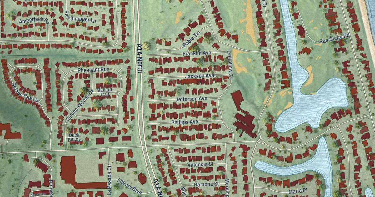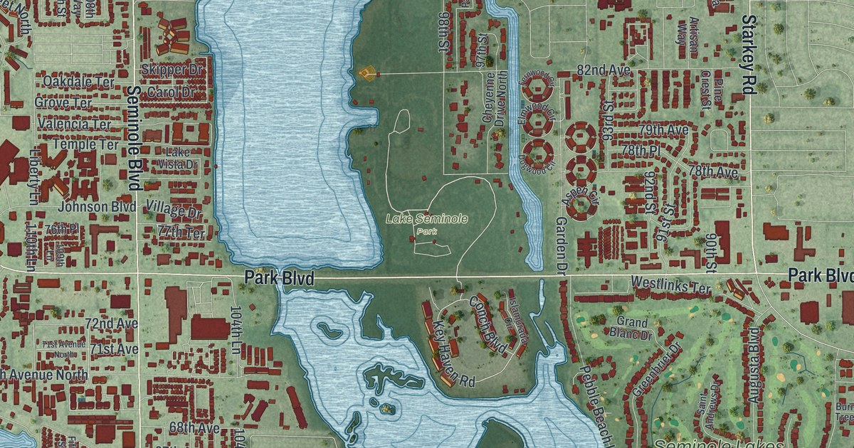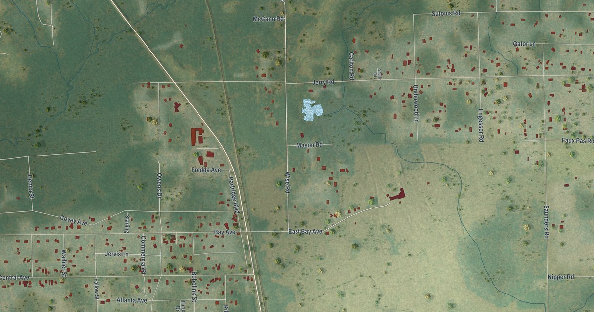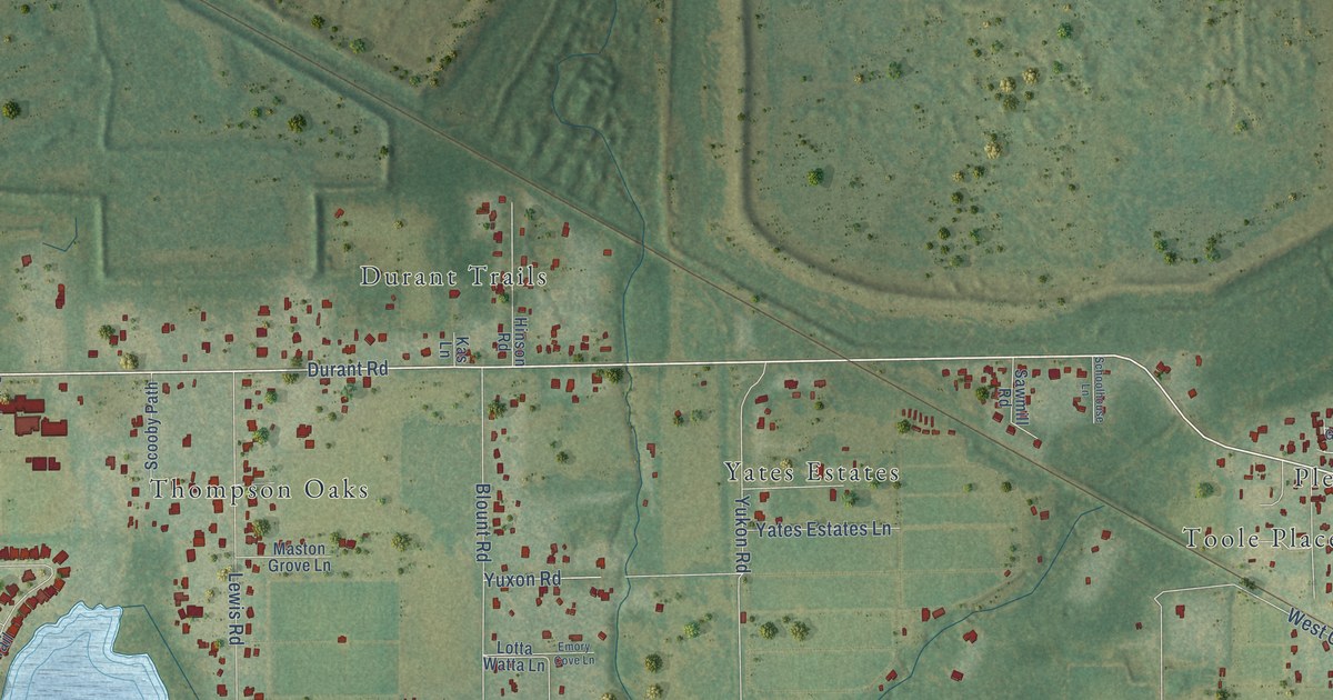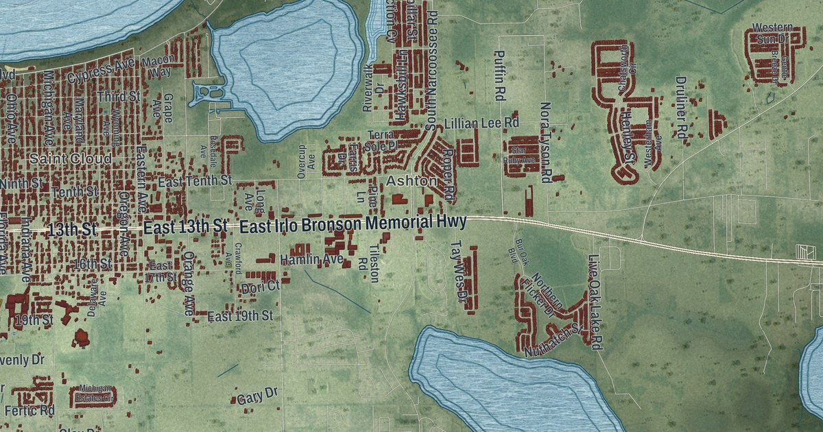
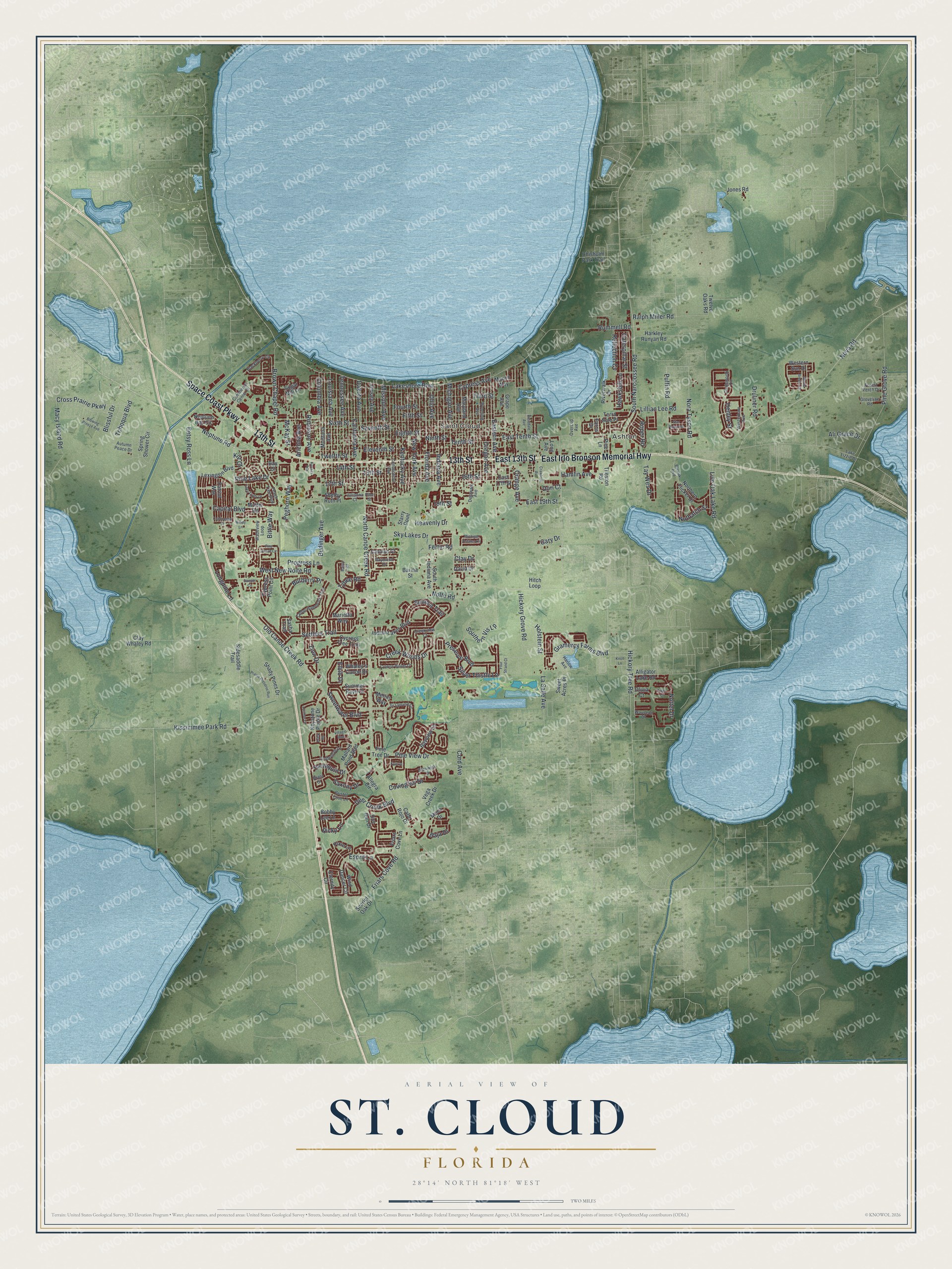
This beautifully detailed map of St. Cloud, Florida was created in 2026 using aerial imagery combined with modern topographical, census, street and landmark data. It’s a one-of-a-kind view of St. Cloud that combines accurate data with a vintage aesthetic. The map shows every building in its true location, many of the roads carry their names, and the shaded topographic relief shows the shape of the land.
Explore an aerial view of St. Cloud, Florida
On the map you’ll find Ashton, along with East 13th Street, Space Coast Parkway, 13th Street, East Irlo Bronson Memorial Highway, Old Canoe Creek Road, Kissimmee Park Road, Lakeshore Boulevard, Puffin Road, Neptune Road, Pine View Drive, and more. If you look closely you can even find your house accurately drawn in its correct location. Zoom in on the preview to look for yours.
Did You Know?
In 1909 the Seminole Land and Investment Company bought 35,000 acres for a colony of Union Army veterans of the Civil War. St. Cloud became known as The Friendly Soldier City. So many veterans lie in Mt. Peace Cemetery that it ranks among the biggest Union burial grounds in the South away from any battlefield.
Take a closer look at the St. Cloud map
Names on this map
These names are printed on this map.
Places: Ashton and Saint Cloud.
Streets and roads: East 13th Street, Space Coast Parkway, 13th Street, East Irlo Bronson Memorial Highway, Old Canoe Creek Road, Kissimmee Park Road, Lakeshore Boulevard, Puffin Road, Neptune Road, Pine View Drive, 17th Street, North Canoe Creek Road.
More street names, A to Z
14th Street, 15th Street, 16th Street, 19th Street, Ali Grace Drive, Allegra Circle, Alligator Lake Road, Arizona Avenue, Autumn Peace Drive, Bailey Road, Baja Drive, Barina Street, Bay Court, Bayview Lane, Betsy Ross Lane, Bittle Way, Blackberry Circle, Blissful Drive, Blowing Breeze Avenue, Bobby Lee Lane, Brant Street, Brick Road, Bristol Cove Lane, Brown Chapel Road, Budinger Avenue, Burberry Place, Bur Oak Boulevard, Cabo Rojo Drive, California Avenue, Capital Boulevard, Carolyn Court, Caterpillar Street, Cedar Hammock Trail, Chatsworth Circle, Chisholm Park Trail, Clay Drive, Clay Whaley Road, Columbia Avenue, Commerce Center Drive, Connecticut Avenue, Continental Street, Cord Avenue, Covington Drive, Crawford Avenue, Creekview Court, Creek Woods Drive, Cross Prairie Parkway, Cypress Avenue, Cypress Point Circle, Cypress Tree Trail, Cypress Woods Circle, Dakota Avenue, David Drive, Deer Creek Boulevard, Delaware Avenue, Doe Run Drive, Dori Court, Druliner Road, East 17th Street, East 19th Street, Eastern Avenue, East Tenth Street, Eighth Street, Elbib Drive, Eleventh Street, Esprit Lane, Eternity Circle, Farris Drive, Fertic Road, Fifth Street, Florida Avenue, Forest Perch Drive, Four Strand Court, Fourth Street, Friars Cove Lane, Friars Cove Road, Gary Drive, Gentle Breeze Drive, Glenwick Drive, Goldeneye Lane, Gramercy Farms Boulevard, Grape Avenue, Groveline Road, Hamlin Avenue, Harkley Runyan Road, Harlequin Drive, Harlow Avenue, Hawksbill Lane, Heavenly Drive, Henley Street, Hickory Grove Road, Hickory Tree Road, Hitch Loop, Holstein Street, Indiana Avenue, Indian Lakes Boulevard, Jersey Avenue, Jones Road, Julianna Court, Kansas Avenue, Kentucky Avenue, Keystone Pointe Drive, Kilt Court, Knoll Lane, Kyle Drive, Lake Lizzie Drive, Lake Trudy Drive, La Salle Avenue, Lexington Boulevard, Lillian Lee Road, Live Oak Lake Road, Long Avenue, Longpine Lane, Lorimar Lane, Louisiana Avenue, Macon Way, Macy Island Road, Mallard Pond Boulevard, Marietta Way, Maryland Avenue, McKay Street, Merlin Way, Michigan Avenue, Michigan Estates Circle, Missouri Avenue, Moca Drive, Montana Avenue, Mutter Road, Neptune Bay Circle, New York Avenue, Ninth Street, Nolte Road, Nora Tyson Road, Northern Flicker Drive, Nottel Drive, Nova Road, Nuthatch Street, Ohio Avenue, Olivia Court, Orange Avenue, Oregon Avenue, Overcup Avenue, Patriot Way, Peach Tree Boulevard, Peghorn Way, Pine Chase Circle, Pine Grove Road, Pine Lake Drive, Pine Lane, Pine Street, Pine Tree Drive, Pixie Lane, Prairie Preserve Run, Preserve Boulevard, Progress Lane, Ralph Miller Road, Raymond Drive, Reflection Cv, Ricky Lane, Riverwalk Drive, Robinson Avenue, Roper Road, Rosedale Avenue, Rummell Road, Sasha Trail, Sawyer Circle, Saxony Drive, Scarlet Oak Drive, Seneca Trail, Settlers Trail, Seventh Street, Shady Pines Drive, Shelby Ruth Place, Sidesaddle Trail, Silver Thistle Lane, Sir Lancelot Circle, Sixth Street, Sky Lakes Drive, Southern Vis Lp, South Indiana Avenue, South Narcoossee Road, Spring Shower Circle, Star Ruby Avenue, Starry Point, Sugar Mill Lane, Summer Raye Court, Sweet Acres Place, Sweetwater Boulevard, Tay Wes Drive, Tennessee Avenue, Tenth Street, Terra Sole Place, Third Street, Tibet Court, Tileston Road, Tohoqua Boulevard, Twelfth Street, Twelve Oaks Road, Tybee Road, Vega Creek Drive, Villagio Boulevard, Wadeview Loop, Wauseon Drive, Westerham Avenue, Western Sun Drive, West New Nolte Road, Whaley's Canoe Drive, Wind Dancer Circle, Windy Lane, Wyoming Avenue, Zion Drive.
See it on a wall
The St. Cloud map as a framed print. Swipe for more.


This beautifully detailed map of St. Cloud makes an attractive addition to your office, library, or den, and it can even be used to teach children the geography and history of the area. It also makes a great gift for anyone with St. Cloud roots. When you’re done exploring, click here to get your copy of the St. Cloud map.