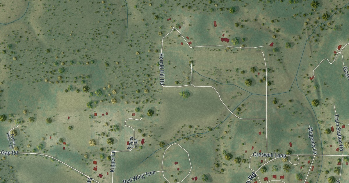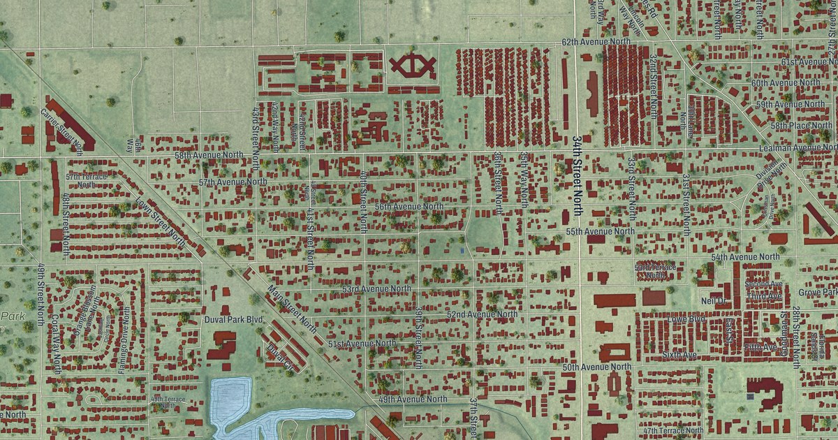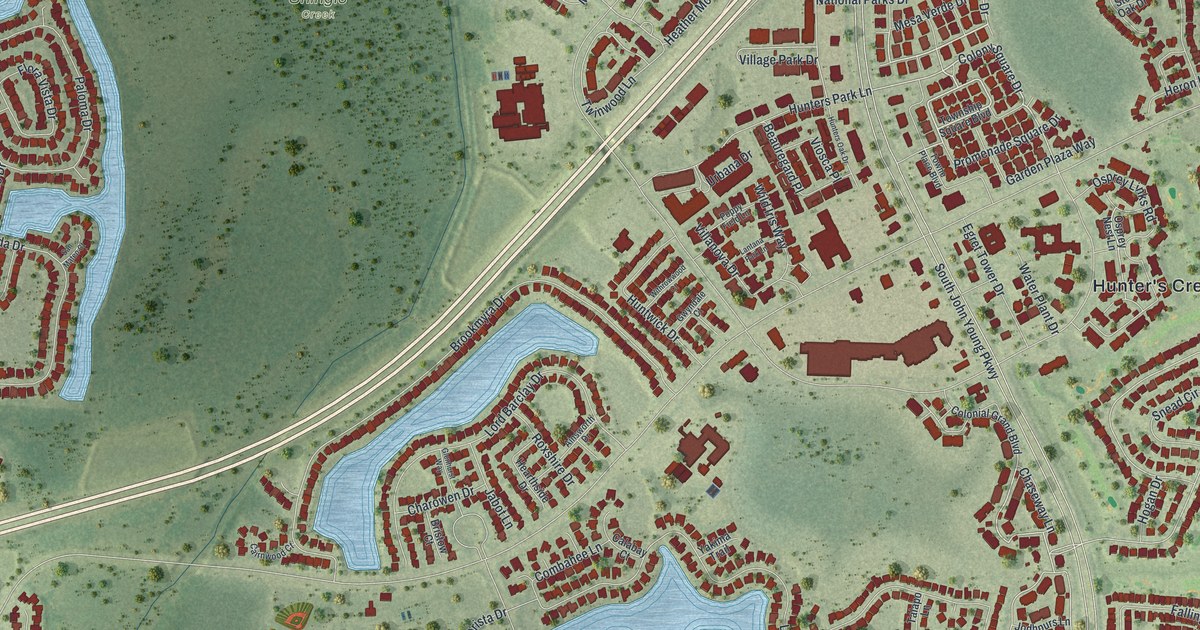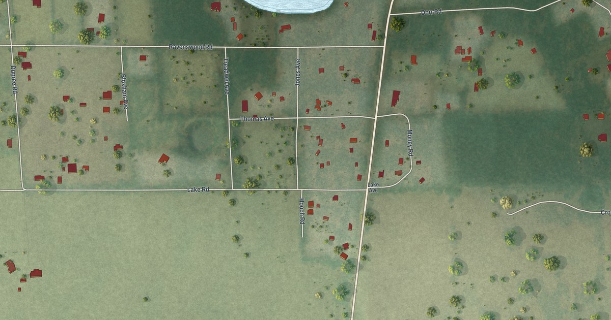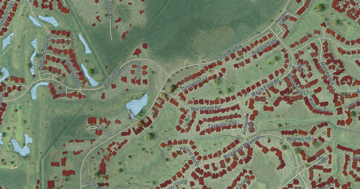
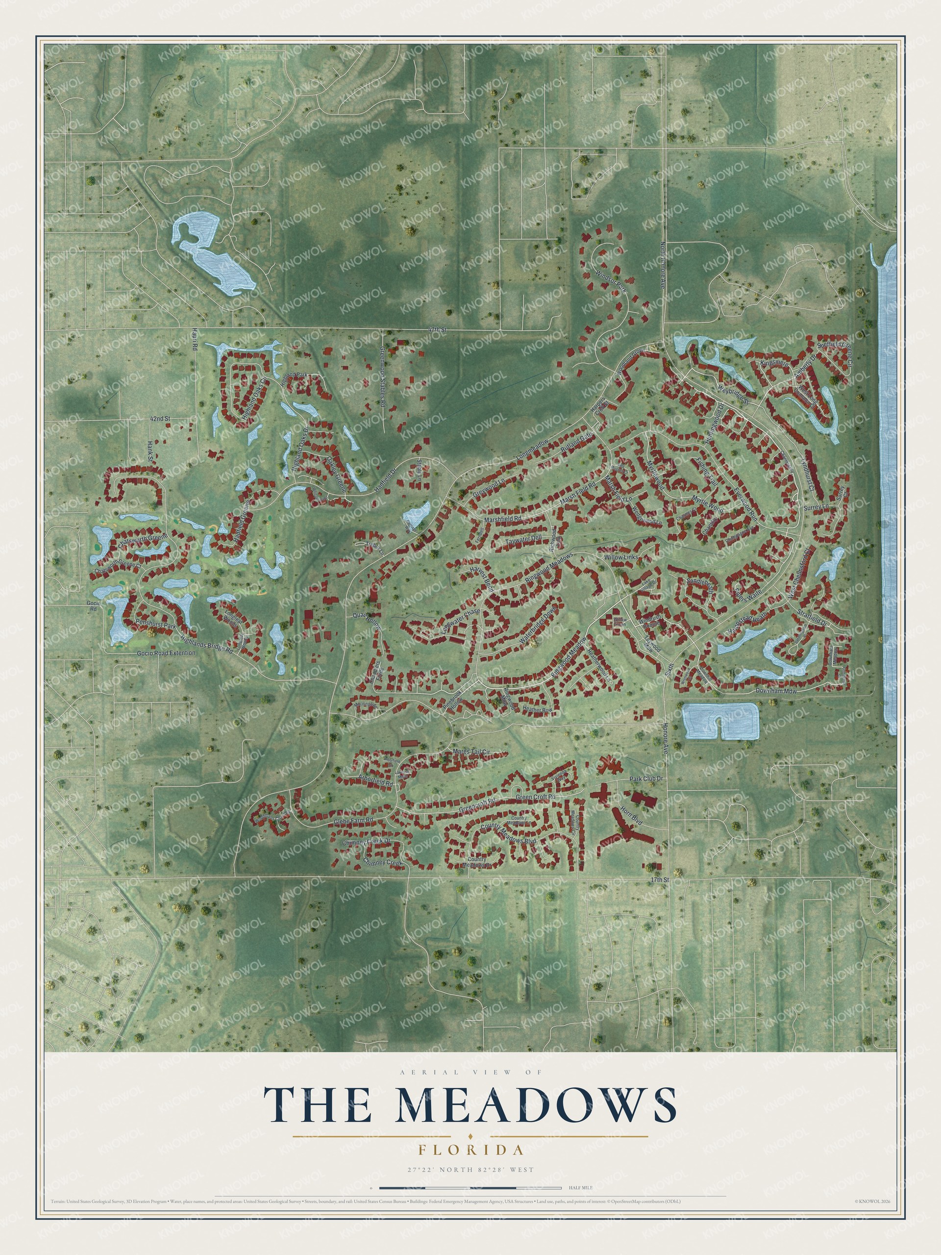
This beautifully detailed map of The Meadows, Florida was created in 2026 using aerial imagery combined with modern topographical, census, street and landmark data. It's a modern aerial view of The Meadows in Sarasota County, Florida, that combines modern data with a vintage aesthetic. The roads feature printed names, and if you look closely you can find your exact house accurately shown in its correct location.
Explore an aerial view of The Meadows, Florida
On this map you'll find Huntingwood Drive, Ringwood Meadow, Weybridge Street, Pipers Waite, Kingsmere, Downham Mdw, Myrtle Wood, Windsor Park, North Honore Avenue, Longmeadow, Myrtlewood, Longwater Chase, and more. Each red shape is a building, so zoom in on the preview and look for yours.
The Meadows is a community in Sarasota County. The Census Bureau counted 5,037 people here in 2020. The Meadows sits about 2 miles southeast of Desoto Lakes, 2 miles northwest of Fruitville and 3 miles east of North Sarasota. The map prints the town name in its title panel, with the coordinates below it.
Take a closer look at The Meadows map
Names on this map
These names are printed on this map.
Places: Windsor Park, Penshurst Park and Highland Park.
Streets and roads: Huntingwood Drive, Ringwood Meadow, Weybridge Street, Pipers Waite, Kingsmere, Downham Mdw, Myrtle Wood, North Honore Avenue, Longmeadow, Myrtlewood, Longwater Chase, Highland Oaks Circle.
More street names, A to Z
17th Street, 42nd Street, 47th Street, Amberly Drive, Arborfield Road, Arborfield Square, Carriage Way, Champagne Avenue, Chandlers Forde, Chanteclaire, Chantilly, Charmes Court, Chatsworth Greene, Chatsworth Greene Court, Chimney Creek, Chimney Creek Drive, Country Meadows Boulevard, Country Meadows Circle, Country Meadows Drive, Country Meadows Lane, Downham Meadow, Downhill Meadow, Everwood Run, Ferndell, Fishing Trail, Glebe Farm Road, Gocio Road, Gocio Road Extention, Goodwood Court, Greencroft Road, Green Croft Road, Greenwood Stables Road, Greywood Lane, Hadfield Drive, Hadfield Greene, Hampstead Heath, Hank Street, Harpers Croft Street, Harvest Bend, Hauri Road, Heather Bow, Heatherwood Lane, Highland Oaks Drive, Highlands Bridge Road, Honore Avenue, Horn Boulevard, Lakeside Mews, Lake Village Drive, Longleaf Woods, Longleat Woods, Lyndhurst Court, Mares Tail Circle, Marsh Field Lane, Marsh Field Road, Marshfield Road, Morningside, Oakley Greene, Park Club Drive, Pinebrook Hollow, Quail Hollow, Richwood Link, Ringwood Mdw, Ringwood Meadows, Rutland Gate, Sandleheath, Sandringham Place, Sheffield Greene Circle, Sixth, Stable Lane, Stratfield Drive, Surrey Court, Surrey Lane, Taywater Dell, Taywood Mdw, Trebor Lane, Villa Majorca Court, Vivienda Way, Waterbridge Down, Wedgewood Lane, West Chelmsford Court, West Long Common Court, Whisperwood, Willow Green, Willow Links, Windrush Bourne, Woodland Grove, Woodmans Chart Road, Wrenwood Court.
See it on a wall
The The Meadows map as a framed print. Swipe for more.


Created by KNOWOL in 2026. The buildings are small red shapes, the roads carry their printed names, and shaded relief shows the shape of the land. The title panel reads "AERIAL VIEW OF THE MEADOWS, FLORIDA" with 27°22' NORTH 82°28' WEST.
It suits a den, a classroom or a front hall, and it makes a gift for anyone with The Meadows roots. Open the preview and find the block you know. See sizes and frames for The Meadows map.