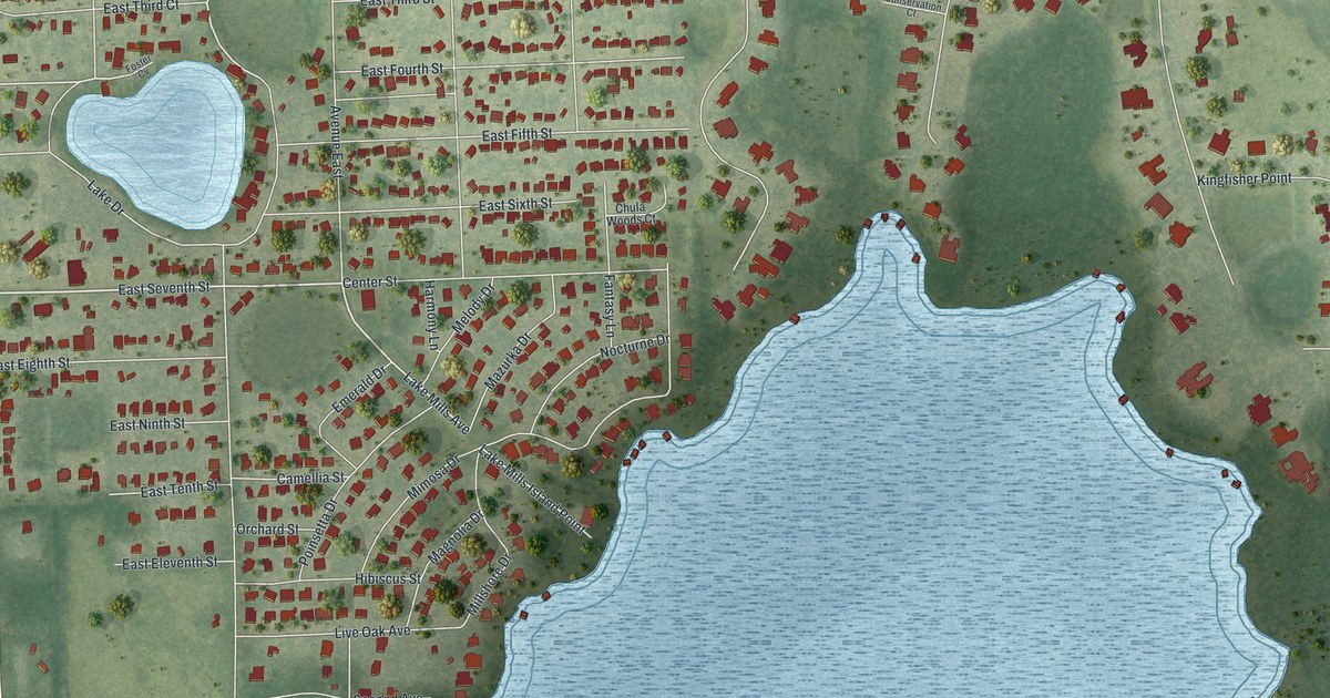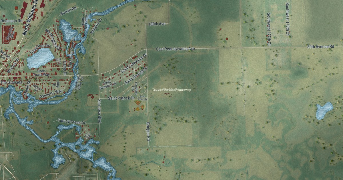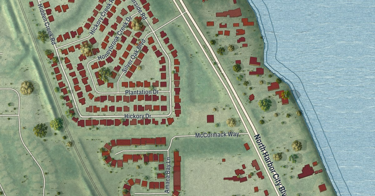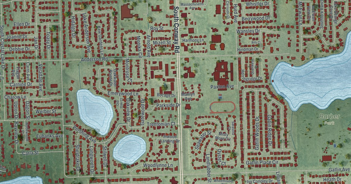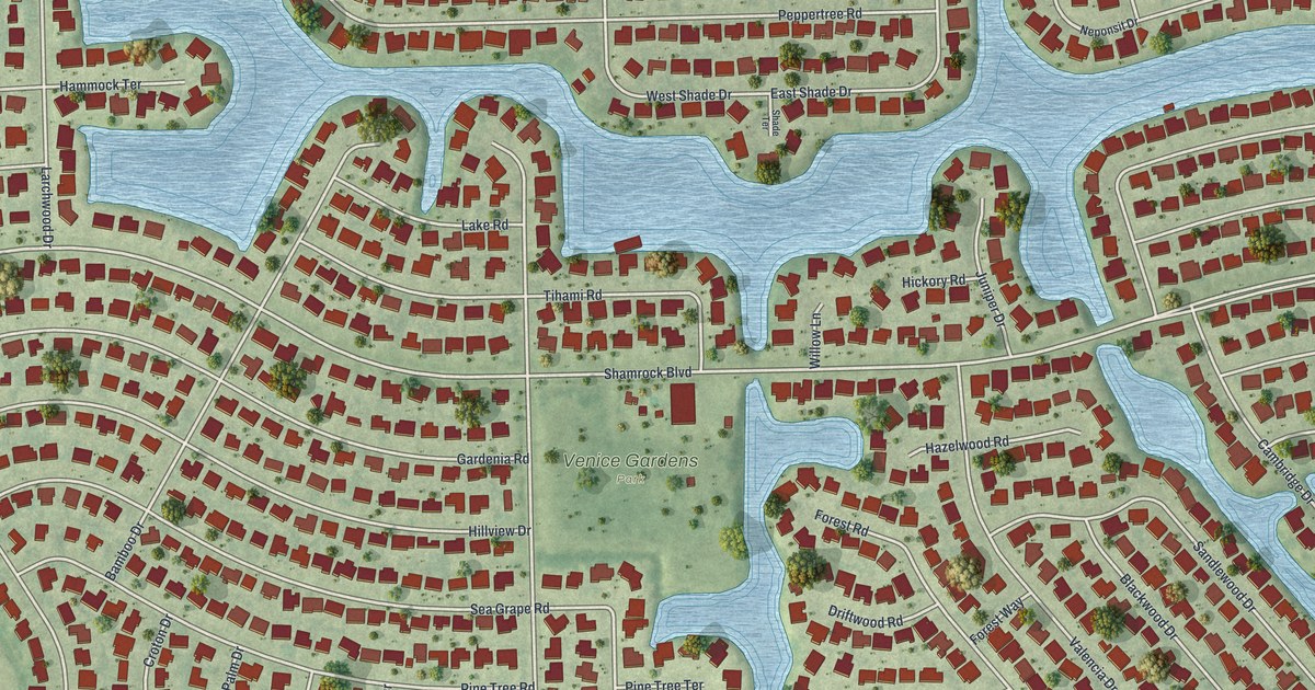
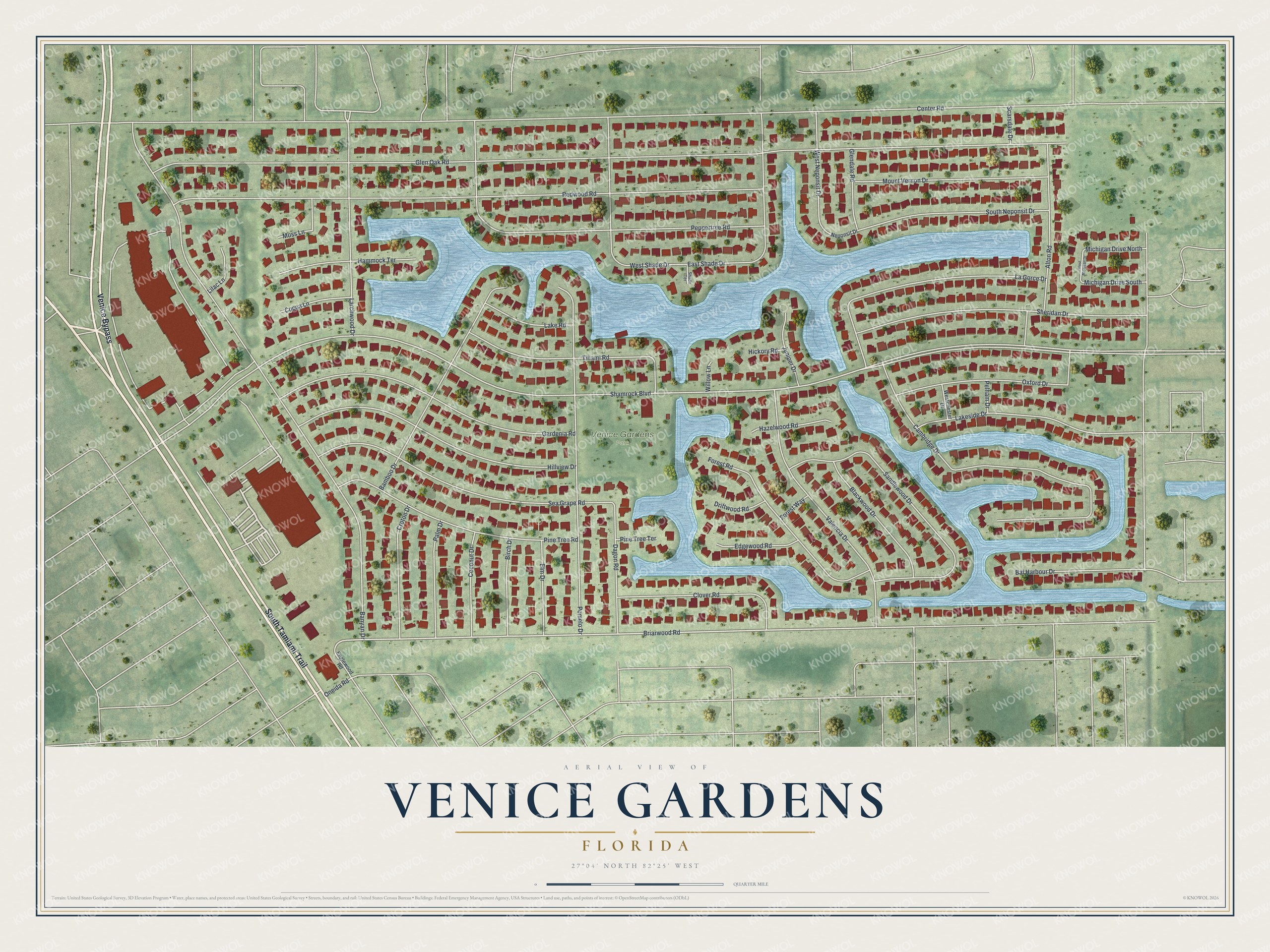
This beautifully detailed map of Venice Gardens, Florida was created in 2026 using aerial imagery combined with modern topographical, census, street and landmark data. It's a modern aerial view of Venice Gardens in Sarasota County, Florida, that combines modern data with a vintage aesthetic. The roads feature printed names, and if you look closely you can find your exact house accurately shown in its correct location.
Explore an aerial view of Venice Gardens, Florida
On this map you'll find Venice Gardens Park, South Tamiami Trail, Venice Bypass, Briarwood Road, Shamrock Boulevard, Center Road, Glen Oak Road, Redwood Road, Banyan Drive, Bal Harbour Drive, Cambridge Drive, Peppertree Road, and more. Each red shape is a building, so zoom in on the preview and look for yours.
Venice Gardens is a community in Sarasota County. The Census Bureau counted 3,402 people here in 2020. Venice Gardens sits about 2 miles north of South Venice, 3 miles west of Plantation and 4 miles south of Nokomis. The map prints the town name in its title panel, with the coordinates below it.
Take a closer look at the Venice Gardens map
Names on this map
These names are printed on this map.
Places: Venice Gardens Park.
Streets and roads: South Tamiami Trail, Venice Bypass, Briarwood Road, Shamrock Boulevard, Center Road, Glen Oak Road, Redwood Road, Banyan Drive, Bal Harbour Drive, Cambridge Drive, Peppertree Road, Pomelo Drive.
More street names, A to Z
Alton Road, Bamboo Drive, Birch Drive, Blackwood Drive, Clover Road, Cocoa Lane, Coconut Drive, Croton Drive, Dagon Road, Driftwood Road, East Shade Drive, Edgewood Road, Elm Drive, Englewood Road, Forest Road, Forest Way, Gardenia Road, Glendale Road, Hammock Terrace, Hazelwood Road, Hickory Road, Hillview Drive, Juniper Drive, La Gorce Drive, Lake Road, Lakeside Drive, Larchwood Drive, Lilac Lane, Michigan Drive North, Michigan Drive South, Moss Lane, Mount Vernon Drive, Neponsit Drive, Oneida Road, Oxford Drive, Palm Drive, Pelham Drive, Pine Tree Road, Pine Tree Terrace, Sandlewood Drive, Scarsdale Drive, Sea Grape Road, Shade Terrace, Sheridan Drive, South Neponsit Drive, Tihami Road, Valencia Drive, Westchester Drive, West Michigan Drive, West Neponsit Drive, West Shade Drive, Willow Lane.
See it on a wall
The Venice Gardens map as a framed print. Swipe for more.


Created by KNOWOL in 2026. The buildings are small red shapes, the roads carry their printed names, and shaded relief shows the shape of the land. The title panel reads "AERIAL VIEW OF VENICE GARDENS, FLORIDA" with 27°04' NORTH 82°25' WEST.
Hang it in the hallway, the office or the cabin, or give it to someone who left Venice Gardens and still calls it home. Open the preview and look for a street you know. See sizes and frames for the Venice Gardens map.