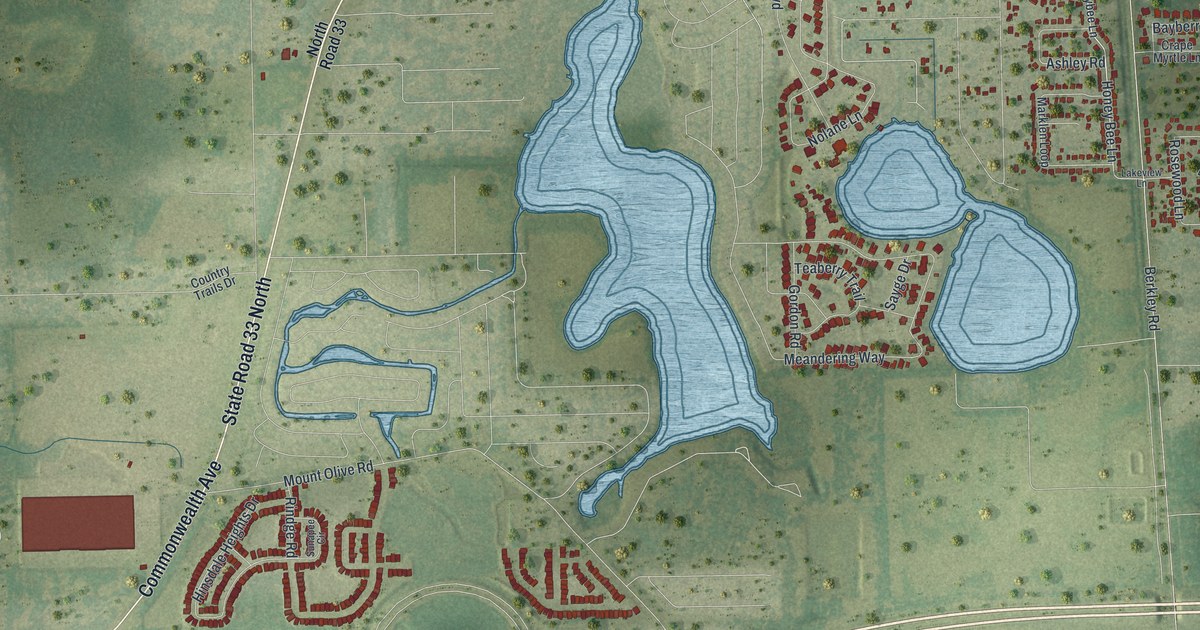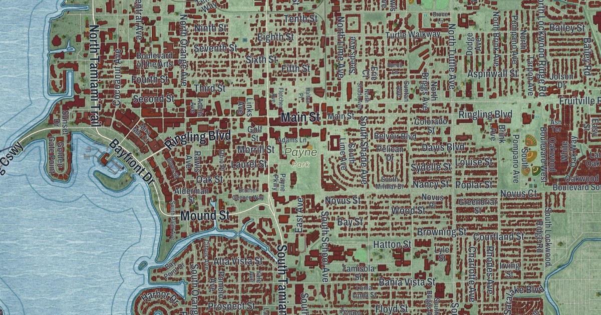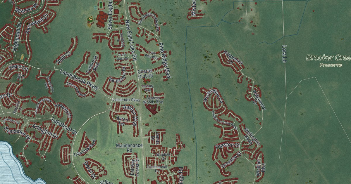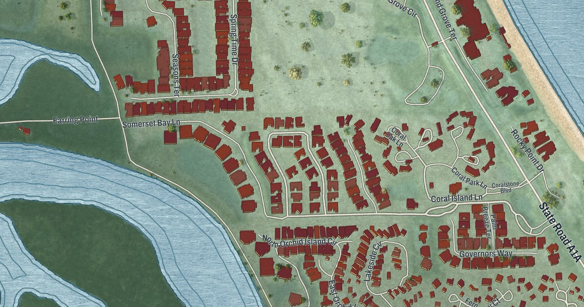
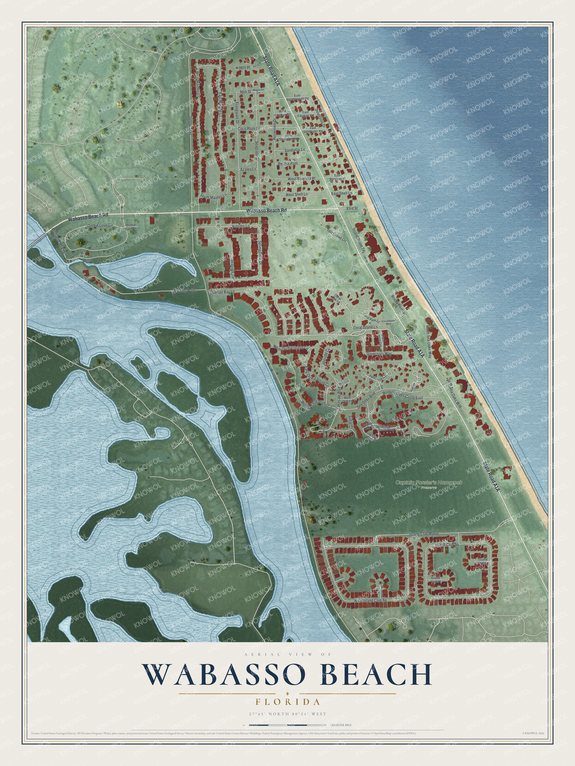
This beautifully detailed map of Wabasso Beach, Florida was created in 2026 using aerial imagery combined with modern topographical, census, street and landmark data. It's a modern aerial view of Wabasso Beach in Indian River County, Florida, that combines modern data with a vintage aesthetic. The roads feature printed names, and if you look closely you can find your exact house accurately shown in its correct location.
Explore an aerial view of Wabasso Beach, Florida
On this map you'll find Captain Forster's Hammock Preserve, State Road A1A, Wabasso Beach Road, Coral Island Lane, Orchid Cove Circle, Isle Grove Circle, Spring Time Drive, Ivy Court, Rocky Point Drive, South Maiden Lane, Jungle Trail, West Island Club Square, and more. Each red shape is a building, so zoom in on the preview and look for yours.
Wabasso Beach is a community in Indian River County. The Census Bureau counted 2,194 people here in 2020. Wabasso Beach sits about 2 miles southeast of Orchid, 2 miles southeast of Windsor and 3 miles north of Indian River Shores. The map prints the town name in its title panel, with the coordinates below it.
Take a closer look at the Wabasso Beach map
Names on this map
These names are printed on this map.
Places: Captain Forster's Hammock Preserve.
Streets and roads: Wabasso Beach Road, Coral Island Lane, Orchid Cove Circle, Isle Grove Circle, Spring Time Drive, Ivy Court, Rocky Point Drive, South Maiden Lane, Jungle Trail, West Island Club Square, Island Club Square, Winding Oaks Circle East.
More street names, A to Z
93rd Street, 96th Place, 96th Street, Autumn Lane, Azalea Lane, Bent Oak Lane, Coco Plum Lane, Coral Oak Lane, Coral Park Lane, Coralstone Boulevard, Doubloon Drive, Earring Point, East Barefoot Place, East Cayman Road, East Maiden Court, East Orchid Island Circle, East Sandlewood Road, East Sandpiper Road, East Shell Lane, Fern Court, Frangipani Drive, Governors Way, Island Club Lane, Island Club Manor, Island Club Place, Island Grove Terrace, Lakeside Boulevard, Lakeside Circle, Magnolia Lane, Michael Creek Drive, North Orchid Island Circle, North Sea Oaks Way, Oak Lane, Orchid Cove Lane, Orchid Drive, Palm Breeze Terrace, Palmetto Court, Palm Tree Lane, Pebble Path, Periwinkle Drive, Red Bay Circle, Riverside Lane, Riverside Place, Sabal Court, Sable Oak Court, Sandollar Lane, Seagrape Drive, Sea Oaks Boulevard, Seasons Terrace, Somerset Bay Lane, South Sea Oaks Way, Spring Place, West Barefoot Place, West Cayman Road, West Maiden Court, West Orchid Island Circle, West Sandpiper Road, West Shell Lane, Winding Oaks Circle West, Windy Oak Court.
See it on a wall
The Wabasso Beach map as a framed print. Swipe for more.


Created by KNOWOL in 2026. The buildings are small red shapes, the roads carry their printed names, and shaded relief shows the shape of the land. The title panel reads "AERIAL VIEW OF WABASSO BEACH, FLORIDA" with 27°45' NORTH 80°24' WEST.
It suits a den, a classroom or a front hall, and it makes a gift for anyone with Wabasso Beach roots. Open the preview and find the block you know. See sizes and frames for the Wabasso Beach map.