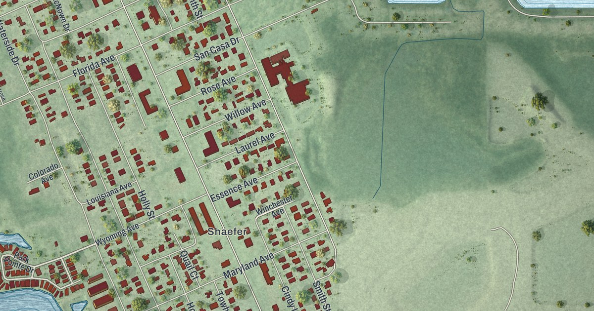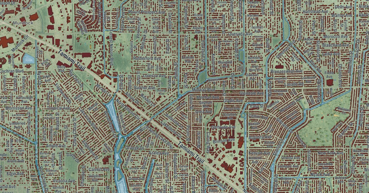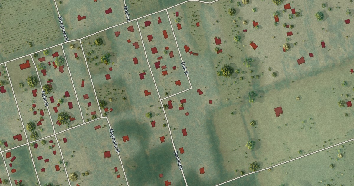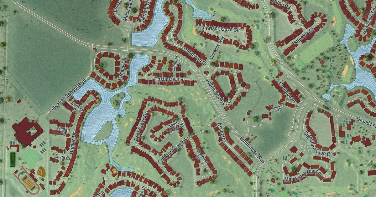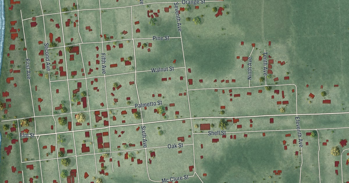
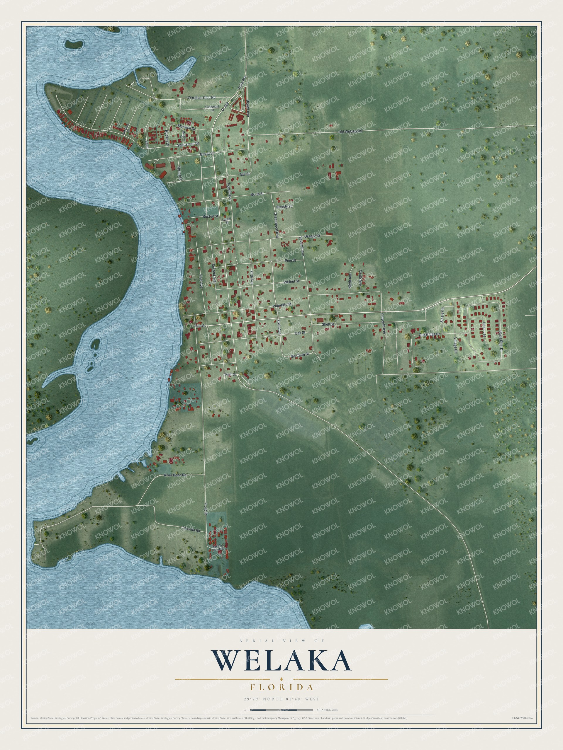
This beautifully detailed map of Welaka, Florida was created in 2026 using aerial imagery combined with modern topographical, census, street and landmark data. It’s a one-of-a-kind view of Welaka that combines accurate data with a vintage aesthetic. The map shows every building in its true location, many of the roads carry their names, and the shaded topographic relief shows the shape of the land.
Explore an aerial view of Welaka, Florida
On the map you’ll find Elm Street, Sixth Avenue, Third Avenue, Second Avenue, Old Welaka Road, and more. If you look closely you can even find your house accurately drawn in its correct location. Zoom in on the preview to look for yours.
Did You Know?
James William Bryant bought a 500-acre tract here in 1852, and the place was first called Mt. Tucker. Just over 100 people lived here in 1860. Fewer than 20 were left when the Civil War ended. The town grew back, incorporated in 1887 and drew visitors to its mineral springs.
Take a closer look at the Welaka map
Names on this map
These names are printed on this map.
Streets and roads: Cr 309, Elm Street, Sixth Avenue, Third Avenue, Second Avenue, Old Welaka Road, Fourth Avenue, Front Street, Palmetto Street, Davis Rige Drive, Sportsman Drive, Orange Street.
More street names, A to Z
Beecher Point Road, Boston Street, Brandy Street, Broad Street, Bryant Avenue, Carefree Drive, Easement Lane, Eleventh Avenue, Fifth Avenue, First Avenue, Floridian Club Road, Greenwood Avenue, Hiller Lae, Hockey Drive, Laurel Street, Margaret Street, Maxwell Drive, Mc Clure Street, Mill Street, Ninth Avenue, North Street, Oak Ridge Drive, Oak Street, Pine Street, River Bend Road, Scott, Seventh Avenue, Shell Street, Siesta Circle, South Street, Spring Street, Tenth Avenue, Teronda Road, Village Drive, Walnut Street.
See it on a wall
The Welaka map as a framed print. Swipe for more.


This beautifully detailed map of Welaka makes an attractive addition to your office, library, or den, and it can even be used to teach children the geography and history of the area. It also makes a great gift for someone who left Welaka and still calls it home. When you’re done exploring, click here to get your copy of the Welaka map.