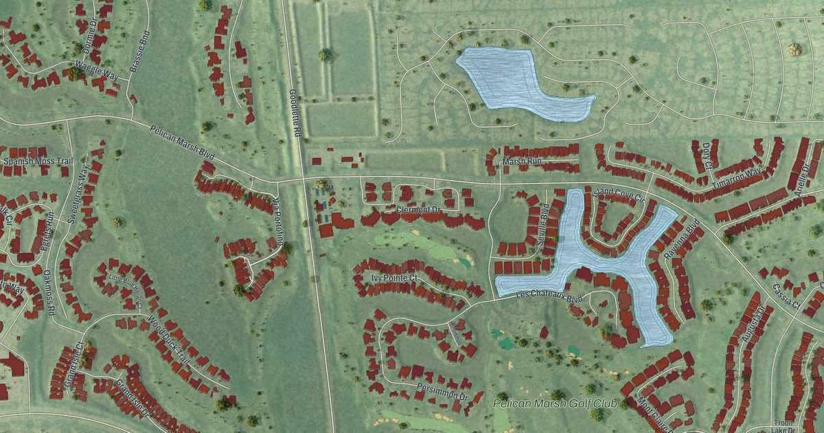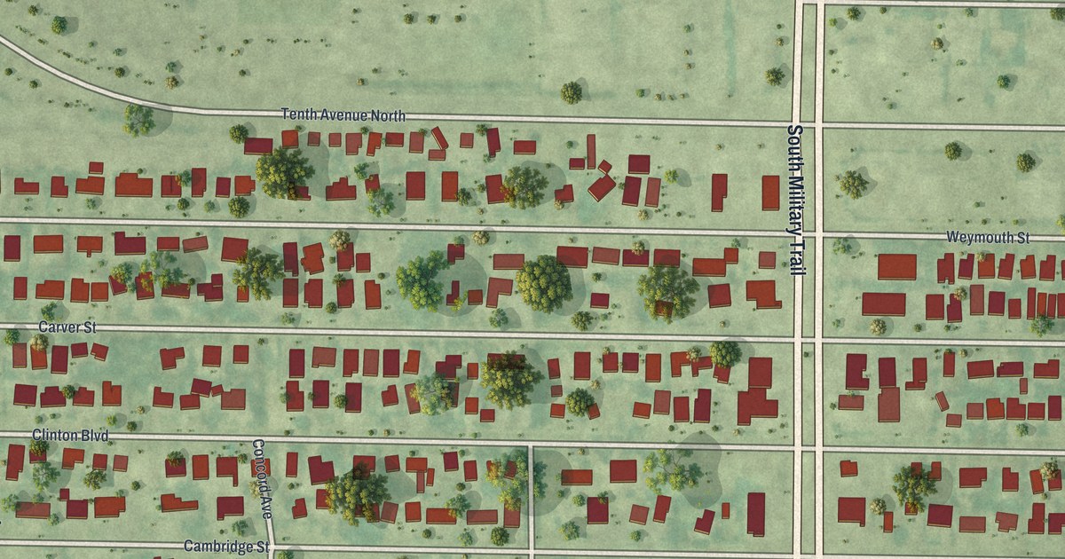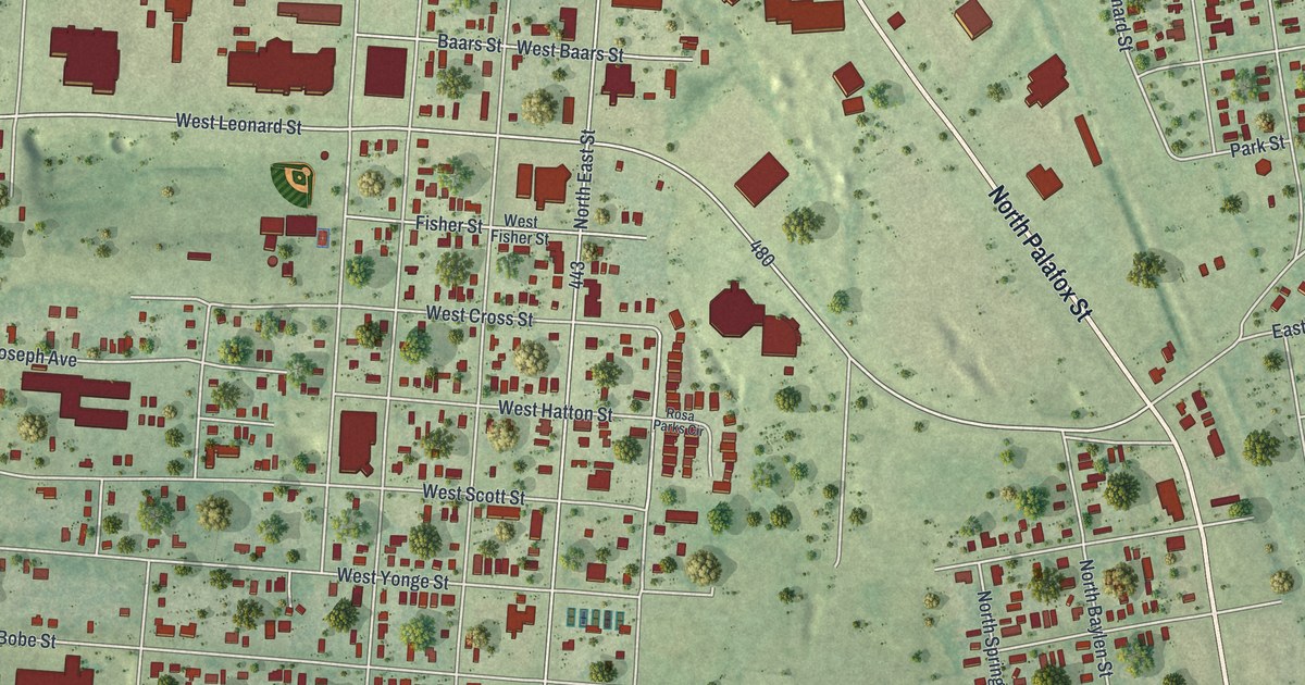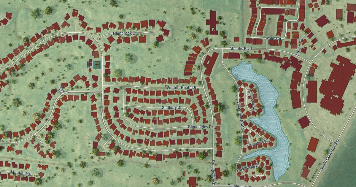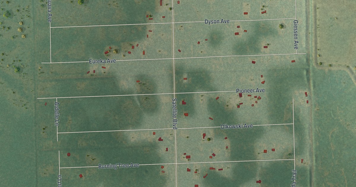
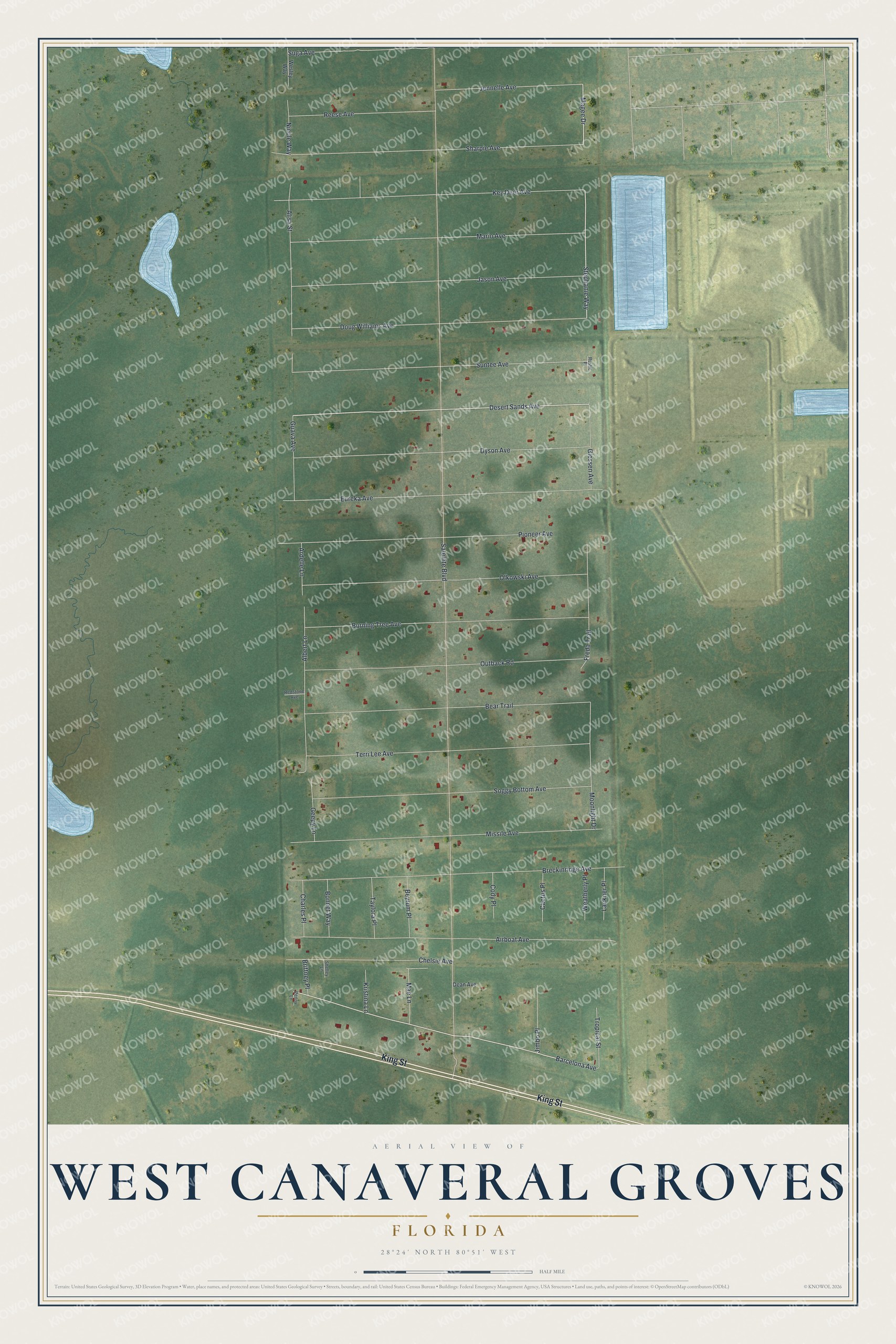
This beautifully detailed map of West Canaveral Groves, Florida was created in 2026 using aerial imagery combined with modern topographical, census, street and landmark data. It's a modern aerial view of West Canaveral Groves in Brevard County, Florida, that combines modern data with a vintage aesthetic. The roads feature printed names, and if you look closely you can find your exact house accurately shown in its correct location.
Explore an aerial view of West Canaveral Groves, Florida
On this map you'll find King Street, Barcelona Avenue, Desert Sands Avenue, Stephanie Way, Magee Drive, Satellite Boulevard, Breckinridge Avenue, Airboat Avenue, Eureka Avenue, Sharpie Avenue, Missile Avenue, Key Deer Avenue, and more. Each red shape is a building, so zoom in on the preview and look for yours.
West Canaveral Groves is a community in Brevard County. The Census Bureau counted 272 people here in 2020. West Canaveral Groves sits about 5 miles northwest of Cocoa West, 5 miles west of Cocoa and 6 miles southwest of Sharpes. The map prints the town name in its title panel, with the coordinates below it.
Take a closer look at the West Canaveral Groves map
Names on this map
These names are printed on this map.
Streets and roads: King Street, Barcelona Avenue, Desert Sands Avenue, Stephanie Way, Magee Drive, Satellite Boulevard, Breckinridge Avenue, Airboat Avenue, Eureka Avenue, Sharpie Avenue, Missile Avenue, Key Deer Avenue.
More street names, A to Z
Albert Lane, Alisa Street, Ardelle Lane, Bear Trail, Beyrum Place, Bonnet Way, Brittney Place, Burning Tree Avenue, Cactus Place, Charles Place, Chelsie Avenue, Cody Place, Dean Avenue, Doug Williams Avenue, Dyson Avenue, Freda Trail, Geepy Lane, Giessen Avenue, Guava Avenue, Jason Avenue, Jennelle Avenue, Jimbo Place, Kristina Lane, Lackner Place, Mae Lane, Mario Avenue, Moonlight Drive, Nicole Way, Olkowski Avenue, Outback Road, Penny Lane, Pioneer Avenue, Redstone Avenue, Reese Avenue, Rustic Place, Shelley Lane, Soggy Bottom Avenue, Suga Avenue, Suntee Avenue, Taylora Place, Terri Lee Avenue, Tropical Street, Weatherly Place, Wesley Way.
See it on a wall
The West Canaveral Groves map as a framed print. Swipe for more.


Created by KNOWOL in 2026. The buildings are small red shapes, the roads carry their printed names, and shaded relief shows the shape of the land. The title panel reads "AERIAL VIEW OF WEST CANAVERAL GROVES, FLORIDA" with 28°24' NORTH 80°51' WEST.
It looks right in a kitchen, an office or a den, and it's a gift for anyone who grew up in West Canaveral Groves or moved away. Open the preview and find your street. See sizes and frames for the West Canaveral Groves map.