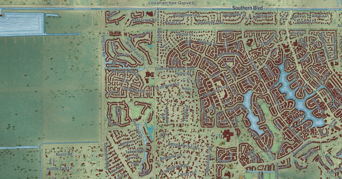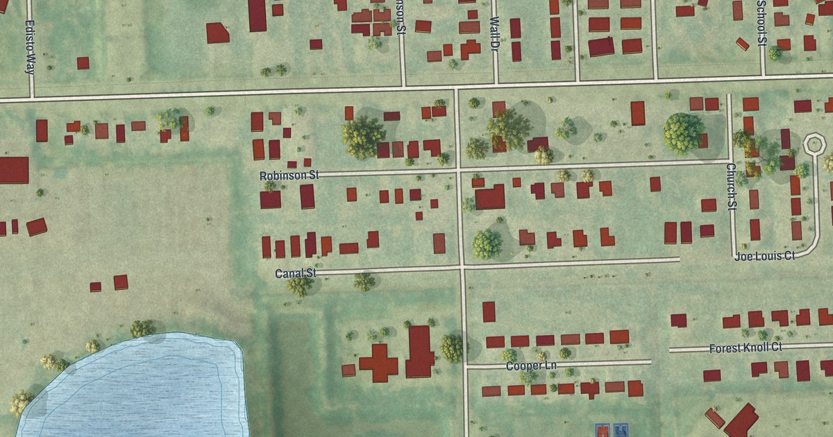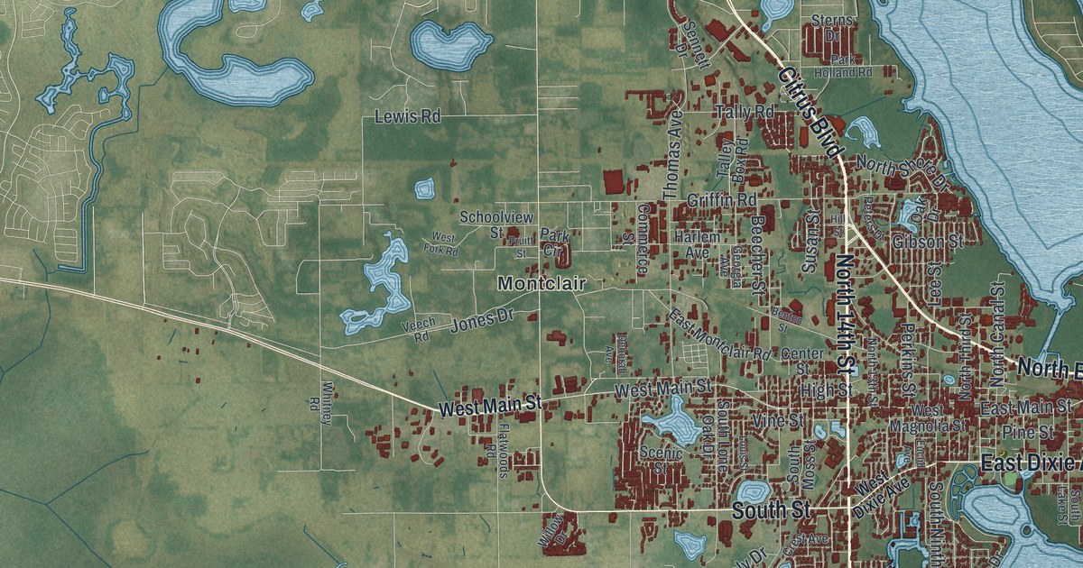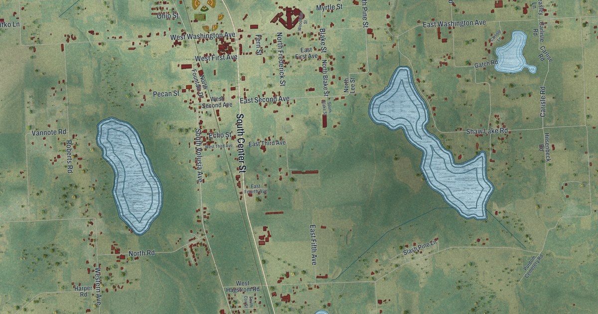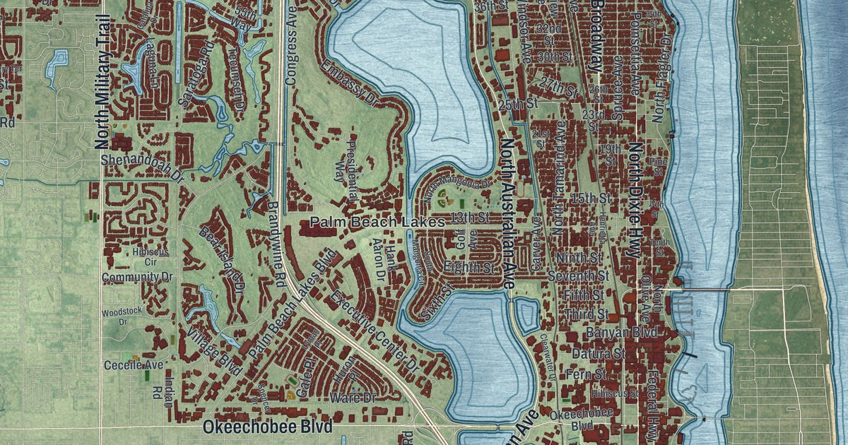
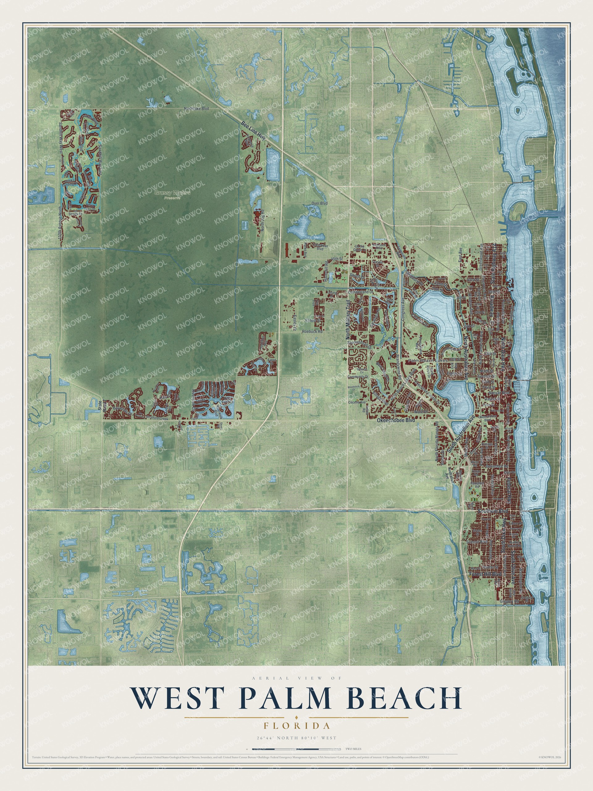
This beautifully detailed map of West Palm Beach, Florida was created in 2026 using aerial imagery combined with modern topographical, census, street and landmark data. It’s a one-of-a-kind view of West Palm Beach that combines accurate data with a vintage aesthetic. The map shows every building in its true location, many of the roads carry their names, and the shaded topographic relief shows the shape of the land.
Explore an aerial view of West Palm Beach, Florida
On the map you’ll find Palm Beach Lakes and Grassy Waters Preserve, along with Southern Boulevard, Dixie Highway, Australian Avenue, Okeechobee Boulevard, Military Trail, and more. If you look closely you can even find your house accurately drawn in its correct location. Zoom in on the preview to look for yours.
Did You Know?
Henry Flagler laid out the city in 1893, the year his Florida East Coast railroad arrived. He planned it as a home for the staff of his two grand hotels across Lake Worth on Palm Beach. He paid settlers Captain Porter and Louie Hillhouse 45,000 dollars for the site. In 1909 it became seat of the new Palm Beach County.
Take a closer look at the West Palm Beach map
Names on this map
These names are printed on this map.
Places: Grassy Waters Preserve and Palm Beach Lakes.
Streets and roads: Southern Boulevard, North Dixie Highway, South Dixie Highway, South Australian Avenue, Okeechobee Boulevard, North Military Trail, Federal Highway, Bee Line Highway, South Olive Avenue, North Australian Avenue, Broadway, Forest Hill Boulevard.
More street names, A to Z
13th Street, 14th Street, 15th Street, 19th Street, 21st Street, 23rd Street, 25th Street, 26th Street, 27th Street, 30th Street, 32nd Street, 34th Street, 36th Street, 38th Street, 39th Court, 39th Street, 40th Street, 42nd Street, 43rd Street, 44th Street, 45th Street, 46th Street, 49th Street, 53rd Street, 54th Street, 55th Way, 57th Street, 110th Avenue North, Acacia Road, Andros Isle, Augustine Road, Australian Avenue, Avon Road, Banyan Boulevard, Bay Point Circle, Baywinds Drive, Bear Island Drive, Belvedere Road, Blue Heron Way, Bollard Road, Brandywine Road, Brevard Avenue, Bristol Drive, Bunker Ranch Road, Caribbean Boulevard, Carver Avenue, Catalina Drive, Ceceile Avenue, Clare Avenue, Clearwater Drive, Community Drive, Congress Avenue, Corporate Way, Cumberland Drive, Curley Cut, Datura Street, Deer Point Lane, Dock Street, Dyer Boulevard, Dyer Road, Eagle Terrace, Easley Drive, East Avenue, Eastview Avenue, Eaton Street, Echo Lake Drive, Edmor Road, Eighth Street, Ellery Terrace, Elwa Place, Embassy Drive, Ernest Street, Executive Center Drive, Falcon Green Drive, Fern Street, Fifth Street, Florida Avenue, Fox Trce, Gale Place, Garden Avenue, Georgia Avenue, Gila Lane, Golf Avenue, Grande Boulevard, Green Street, Greenwood Avenue, Gregory Place, Gregory Road, Hamilton Key, Hampton Road, Hank Aaron Drive, Haverhill Road, Hawks Landing Drive, Henrietta Avenue, Hibiscus Circle, Hibiscus Street, Horizon Drive, Hunter Street, Huron Place, Ibis Boulevard, Indian Road, Irma Lake Drive, Ironhorse Boulevard, Isla Vista Drive, Kanuga Drive, Kaye Street, Kittbuck Way, Laguna Lane, Lake Avenue, Lakes Boulevard, La Strada Drive, Liberty Oak Avenue, Loring Drive, Lyman Place, Macy Street, Martin Avenue, Mercer Avenue, Merrill Avenue, Monroe Drive, Murray Road, Nile River Road, Ninth Street, North Flagler Drive, North Florida Mango Road, North Jog Road, Northlake Boulevard, North Mangonia Drive, North Olive Avenue, Northpoint Parkway, North San Andros, North Street, North Tamarind Avenue, Norton Avenue, Omar Road, Palm Beach Lakes Boulevard, Parke Avenue, Parker Avenue, Pilgrim Road, Pine Cay, Pinehurst Drive, Pine Street, Pine Terrace, Pinewood Avenue, Poinsettia Avenue, Presidential Way, Quida Drive, Riverwalk Boulevard, Riverwalk Circle, Roebuck Road, Sandhill Court, Sandhill Way East, Sandhill Way West, Sandy Cay, Saratoga Road, Service Alley, Seventh Street, Shenandoah Drive, Shiloh Drive, Sixth Street, Skees Road, South Flagler Drive, South Mangonia Circle, Sparrow Hawk Drive, Spencer Drive, Spruce Avenue, State Road 7, Stratford Creek, Summit Boulevard, Tecumseh Drive, Temple Street, Tenth Street, Terra Lago Drive, Third Street, Tigris Drive, Turtle Cv, Upland Road, Up the Grove Lane, Via Villagio, Village Boulevard, Ware Drive, Washington Road, Waverly Drive, Winding Bay Lane, Windsor Avenue, Woodstock Drive.
See it on a wall
The West Palm Beach map as a framed print. Swipe for more.


This beautifully detailed map of West Palm Beach makes an attractive addition to your office, library, or den, and it can even be used to teach children the geography and history of the area. It also makes a great gift for someone who left West Palm Beach and still calls it home. When you’re done exploring, click here to get your copy of the West Palm Beach map.