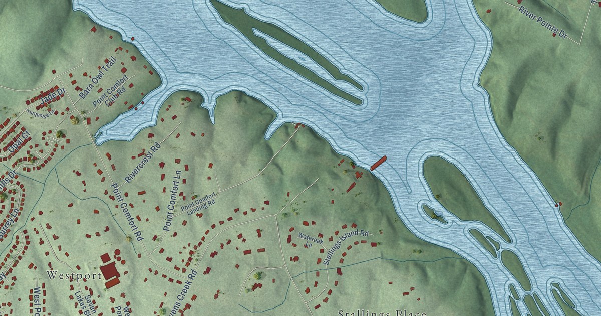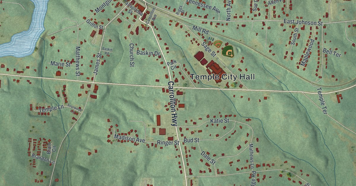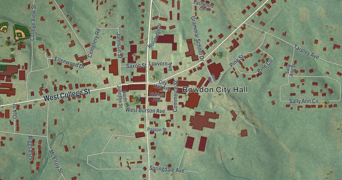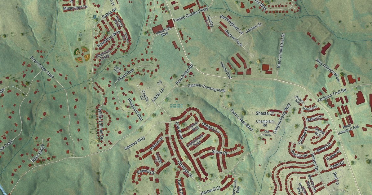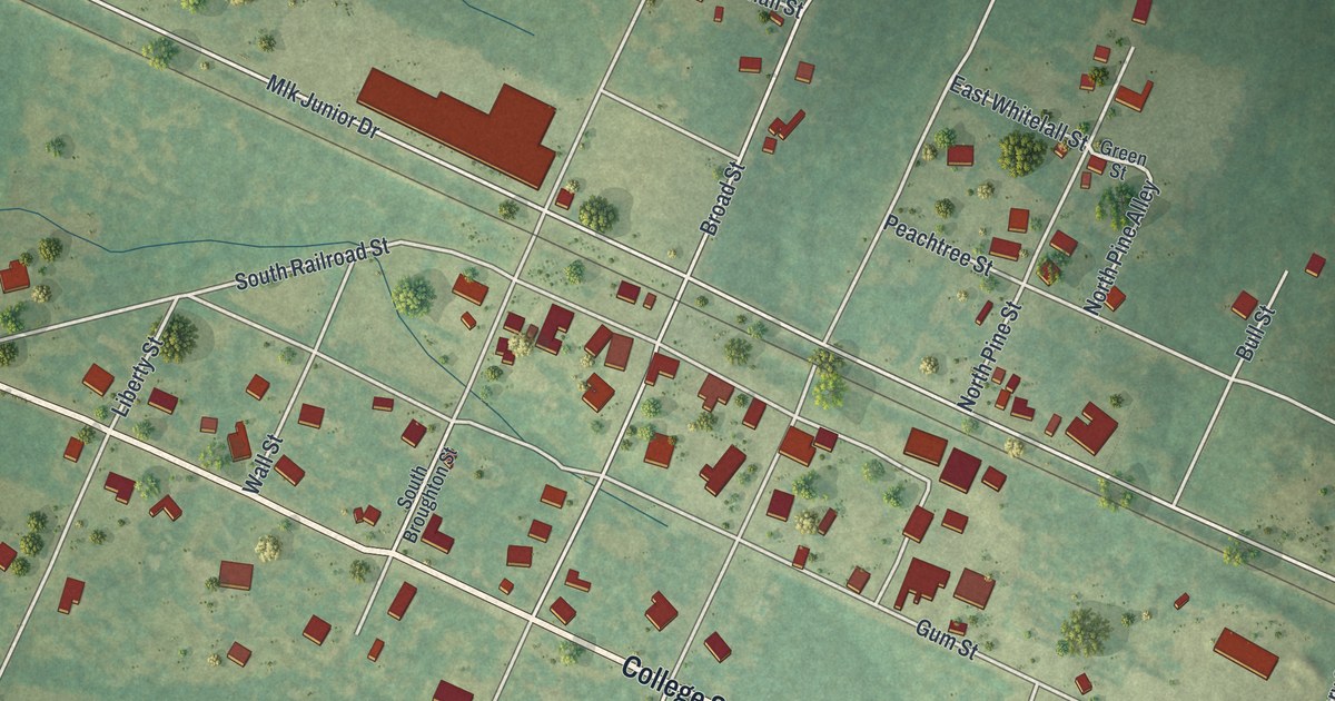
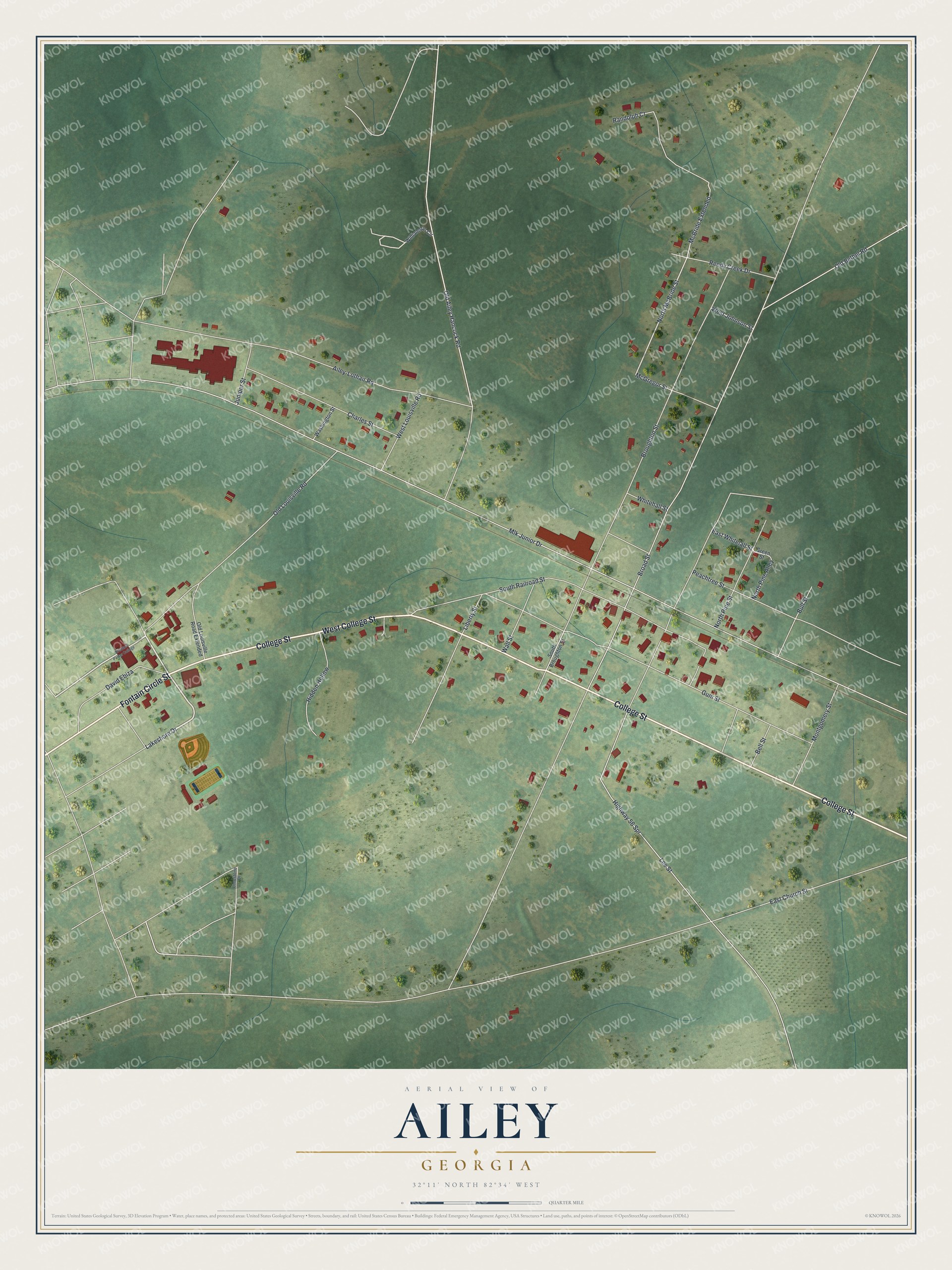
This beautifully detailed map of Ailey, Georgia was created in 2026 using aerial imagery combined with modern topographical, census, street and landmark data. It’s a one-of-a-kind view of Ailey that combines accurate data with a vintage aesthetic. The map shows every building in its true location, many of the roads carry their names, and the shaded topographic relief shows the shape of the land.
Explore an aerial view of Ailey, Georgia
On the map you’ll find McBride Extended, along with College Street, Fontain Circle Street, Lakeshore Drive, McBride Street, and more. If you look closely you can even find your house accurately drawn in its correct location. Zoom in on the preview to look for yours.
Did You Know?
The boxer Sugar Ray Robinson was born Walker Smith in Ailey on May 3, 1921. His father farmed cotton, peanuts and corn here before moving the family to Detroit. Robinson became the first boxer to win a world title in one division five times.
Take a closer look at the Ailey map
Names on this map
These names are printed on this map.
Streets and roads: College Street, West College Street, Fontain Circle Street, Lakeshore Drive, North McBride Street, McBride Extended, Broad Street, Mlk Junior Drive, Lee Street, East Church Street, Broughton Street, Highway 56 Spr.
More street names, A to Z
Ailey-Lothair Road, Bell Street, Brewton Parker College, Bull Street, Charles Street, David Ebiza, East Whitelall Street, Green Street, Gum Street, Hidden Hollow, Juniper Street, Liberty Street, Limestone Drive, McGregor Street, Montgomery Street, North Pine Alley, North Pine Street, Old Ailey Hancock Road, Old Bethel Road, Old Louisville Road, Old Louisville Road Extended, Peachtree Street, Randolph Court, Reedy Creek Drive, South Broughton Street, South Railroad Street, Wall Street, Washington Street, West Johnson Street, West Louisville Road, Whitehall Street, Williamson Circle.
See it on a wall
The Ailey map as a framed print. Swipe for more.


This beautifully detailed map of Ailey makes an attractive addition to your office, library, or den, and it can even be used to teach children the geography and history of the area. It also makes a great gift for someone who left Ailey and still calls it home. When you’re done exploring, click here to get your copy of the Ailey map.