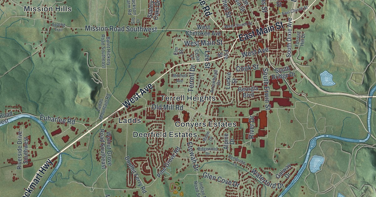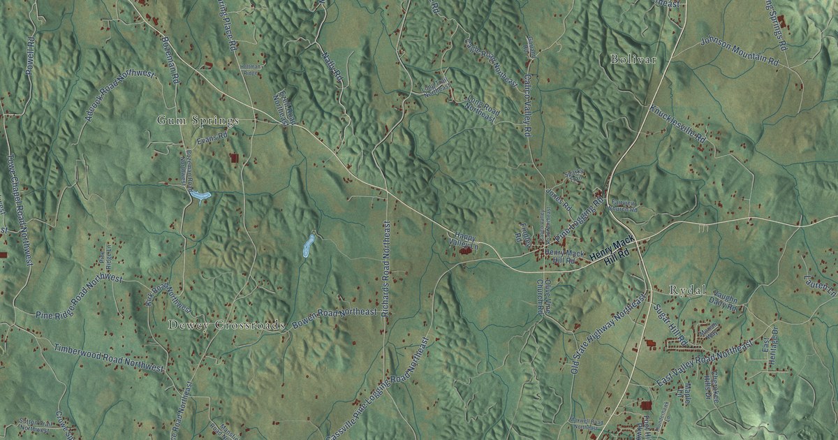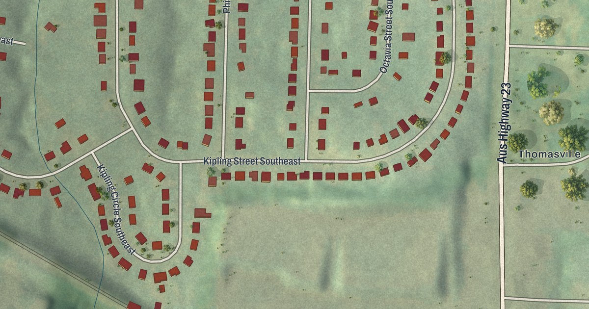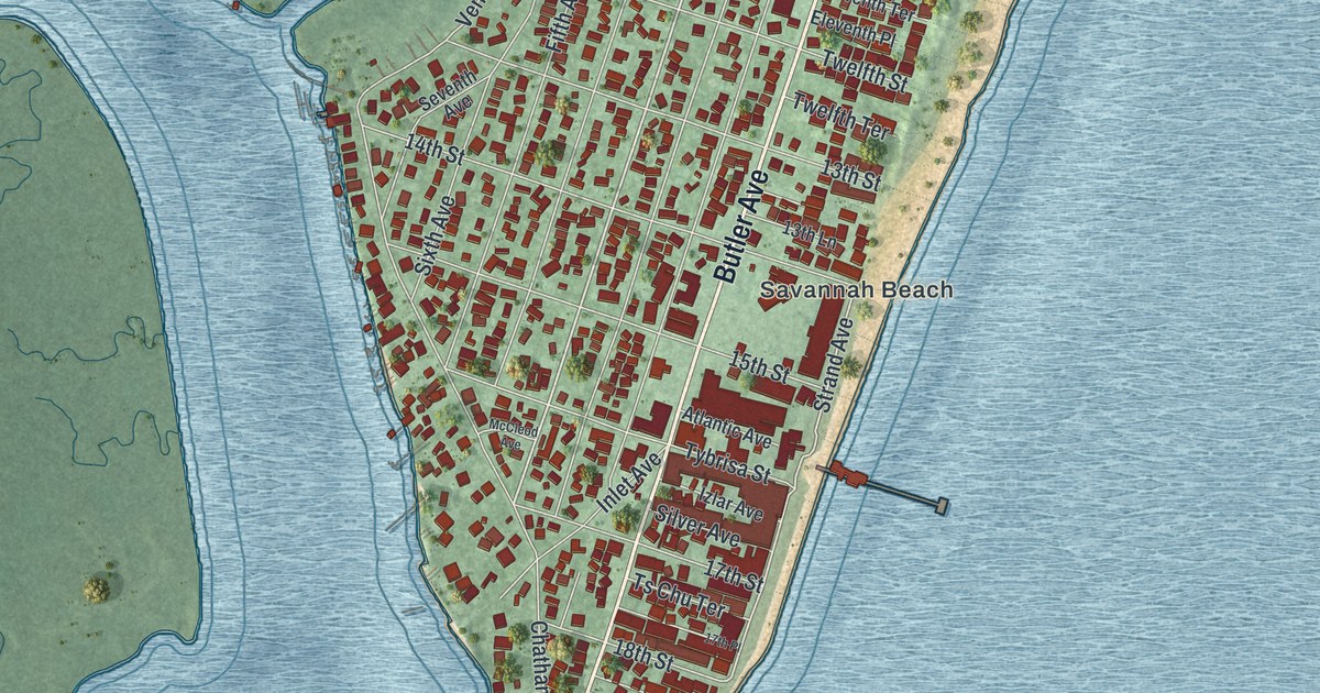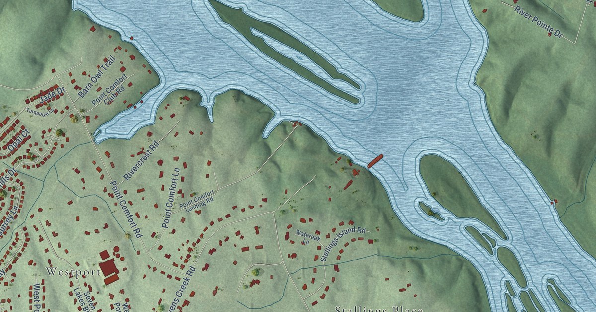
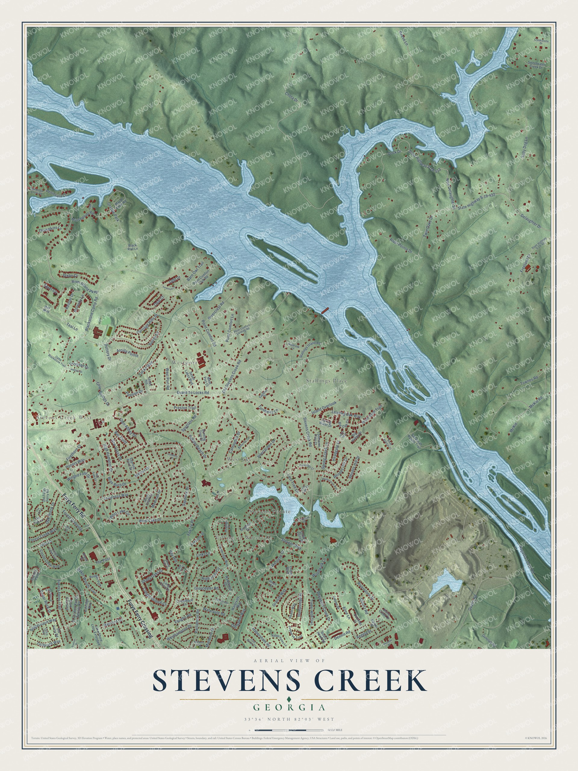
This beautifully detailed map of Stevens Creek, Georgia was created in 2026 using aerial imagery combined with modern topographical, census, street and landmark data. It’s a one-of-a-kind view of Stevens Creek that combines accurate data with a vintage aesthetic. The map shows every building in its true location, many of the roads carry their names, and the shaded topographic relief shows the shape of the land.
Explore an aerial view of Stevens Creek, Georgia
On the map you’ll find Stevens Creek West, Stallings Place, Stevens Pointe, Westport, Village at Watervale, Westlake, and Furys Ferry Crossing, along with Furys Ferry Road, Watervale Road, Inverness Way, Pheasant Creek Drive, Riverstone Drive, and more. If you look closely you can even find your house accurately drawn in its correct location. Zoom in on the preview to look for yours.
Take a closer look at the Stevens Creek map
Names on this map
These names are printed on this map.
Places: Stevens Creek West, Stallings Place, Stevens Pointe, Westport, Village at Watervale, Westlake and Grande Park.
Streets and roads: Furys Ferry Road, Furys Ferry Crossing, Watervale Road, Inverness Way, Pheasant Creek Drive, Riverstone Drive, Quartz Road, Evans To Locks Road, Stevens Creek Road, Pebble Beach Drive, West Lake Drive, Chota Drive.
More street names, A to Z
Alice Lane, Angela Street, Arcilla Pointe, Ashridge Way, Augusta Levee Road, Bakers Ferry Trail, Baker Woods Trail, Barn Owl Trail, Bay Hill, Bay Hill Court, Bay Point, Bay Tree Court, Bellerive Circle, Big Holley Drive, Big Oak Circle, Black Rail Lane, Blackstone Camp Road, Boars Head Road, Boulder Fork, Brae Burn Drive, Brannen Drive, Brook Court, Burning Tree Court, Calico Trail, Cambridge Way, Camelback Lane, Camp Blackstone Trail, Carnoustie Drive, Carriage Hills Drive, Cedar Rock Drive, Clark Crossing, Congressional Court, Cool Brook Court, Cove Springs Drive, Creek Bluff, Creekstone Drive, Crown Point Drive, Crystal Creek East, Crystal Creek West, Cypress Point Drive, Delaughter Drive, Dennis Road, Dixon Court, Dock Drive, Drake Court, Eagleton Drive, Egret Circle, El Cordero Ranch Springs Road, Falcon Drive, Firestone Place, Firethorn Court, Forest Creek Way, Forest Crossing, Foxfire Place, Freeland Drive, Freeman Drive, Glen Abbey Drive, Gloucester Court, Gloucester Road, Granite Point, Granite Way, Gunclub Road, Habersham Road, Hampstead Place, Hastings Place, Headgate Drive, Heatherstone Way, Heath Way, High Hampton Drive, Highlands Circle, Honors Way, Hornsby Lane, Ibis Way, Ihnen Court, Interlachen Drive, Inverness Place, Ironwood Drive, Island Overlook, Jade Drive, Johns Way, Kestrel Drive, Lake Shore Loop Extended, Lakestone Court, Leaning Oak Way, Links Lane, Live Oak Court, Live Oak Lane, Locks Hill, Locks Way, Lonesome Pine Court, Long Cove Drive, Lost Tree Court, Lost Tree Lane, Madison Drive, Marlboro Street, Marlboro Way, Marshpoint Road, Marsh Point Road, McKie, McKie Road, Medinah Drive, Merion Drive, New Delaughter Drive, Oak Brook Drive, Old Ferry Road, Old Furys Ferry Road, Old Salem Way, Old Stevens Creek Road, Opal Court, Oshields Court, Palmadeo Court, Parker Street, Park Lane, Parliament Road, Pavilion Drive, Peninsula Court, Peninsula Crossing, Point Comfort Club Road, Point Comfort Landing Road, Point Comfort Lane, Point Comfort Road, Pottery Drive, Preserve Trail, Preston Trail, Quarry Road, Rabun Valley Lane, Reese Lane, Rhodes Hill Court, Rhodes Hill Drive, River Bluff Trail, Rivercrest Road, River Island Parkway, River Pointe Drive, River Retreat Court, Rocky Ridge Drive, Salty Dog Lane, Sapphire Drive, Savannah Rapids Trail, Saw Grass Drive, Seven Lakes Boulevard, Shady Oaks Court, Shady Oaks Drive, Shoal Creek Court, Spring Creek Lane, Spring Water Drive, Spyglass Road, Stagecoach Way, Stallings Island Road, State Highway S-19-402, State Highway S-19-432, State Highway S-19-433, Stevens Way, Stone Creek Drive, Stratford Drive, Surrey Lane, Sweetwater Creek Drive, Tailboard Way, Teal Lane, The Pass, Thompkins Lane, Timber Wolf Trail, Townes Road, Turnberry Lane, Turquoise Lane, Twin Oaks Drive, Vaughn Road, Villa Court, Villa Lane, Wakefield Court, Wateroak Lane, Watervale Way, Westhampton Drive, West Lake Circle, West Port Court, West Port Road, Westside Drive, Wexford Drive, Winged Foot Drive, Woodwalk Lane.
See it on a wall
The Stevens Creek map as a framed print. Swipe for more.


This beautifully detailed map of Stevens Creek makes an attractive addition to your office, library, or den, and it can even be used to teach children the geography and history of the area. It also makes a great gift for someone who left Stevens Creek and still calls it home. When you’re done exploring, click here to get your copy of the Stevens Creek map.