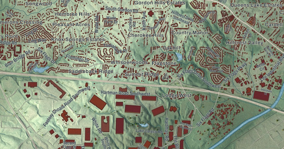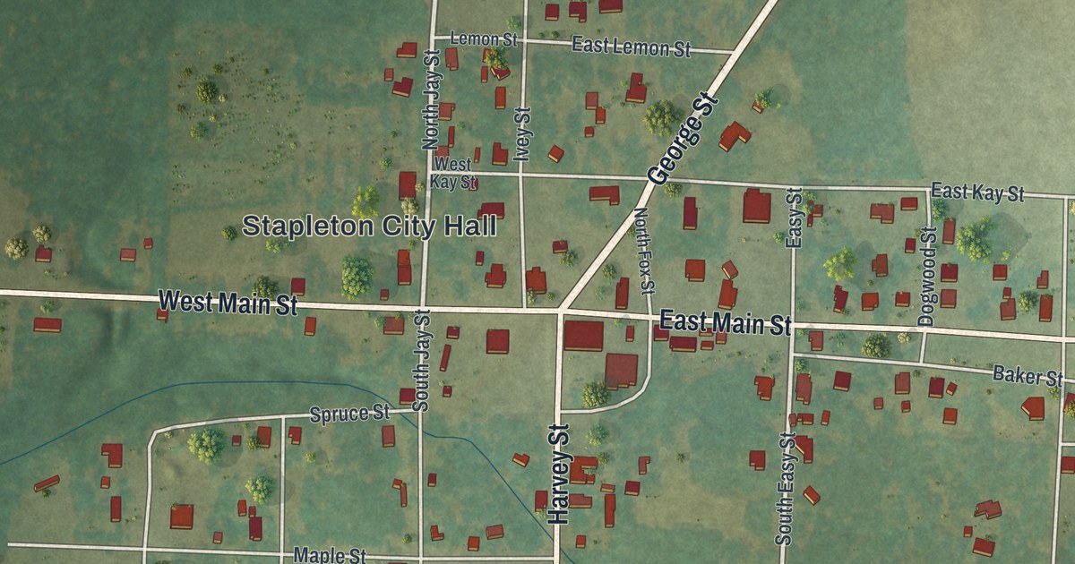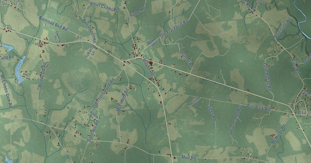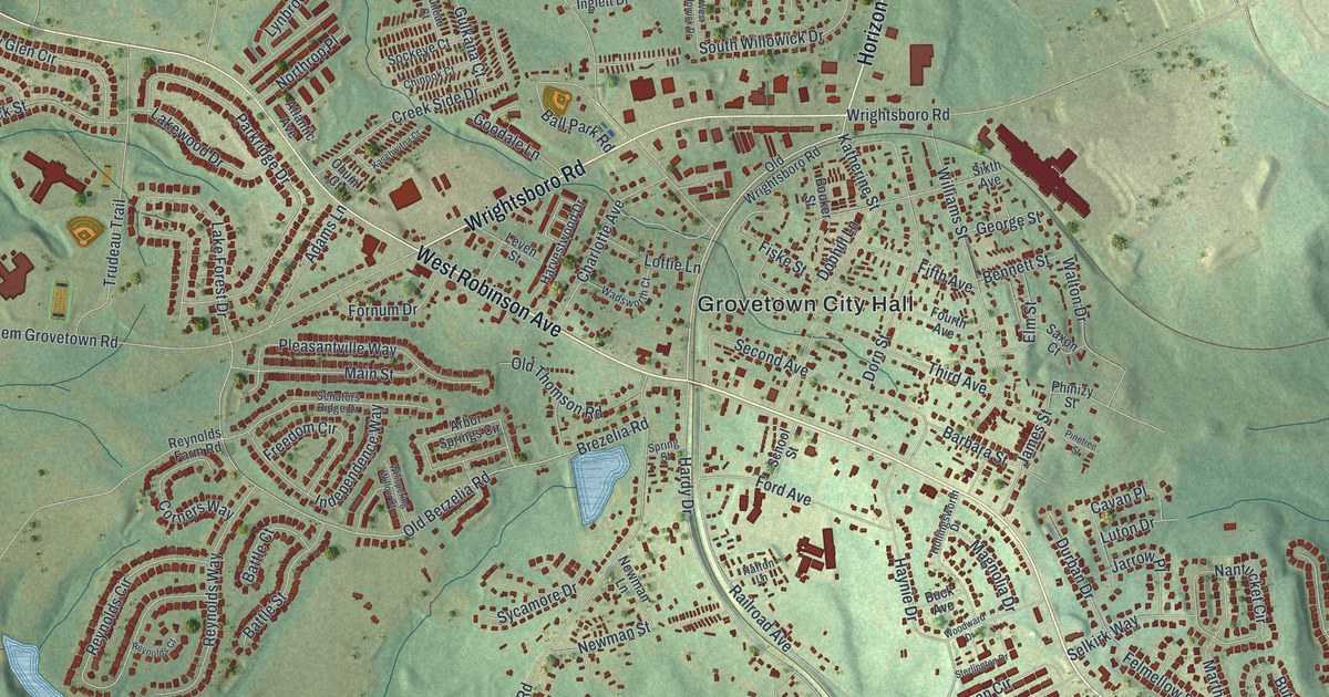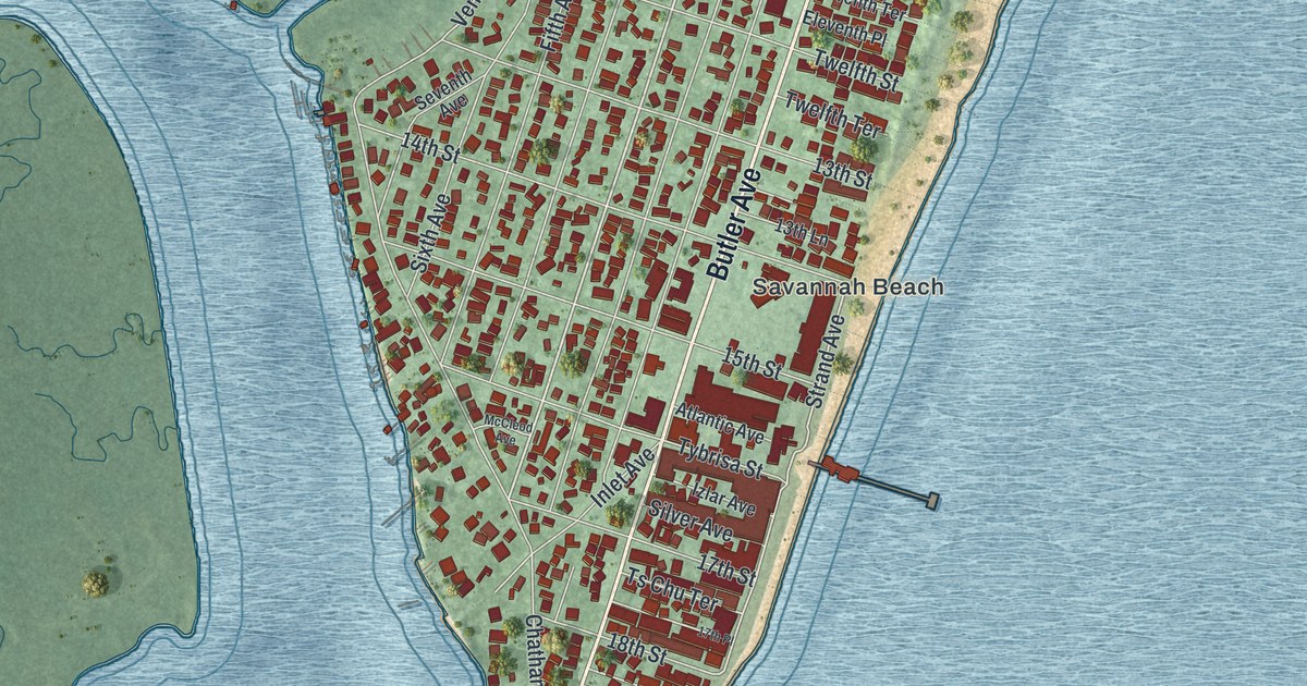
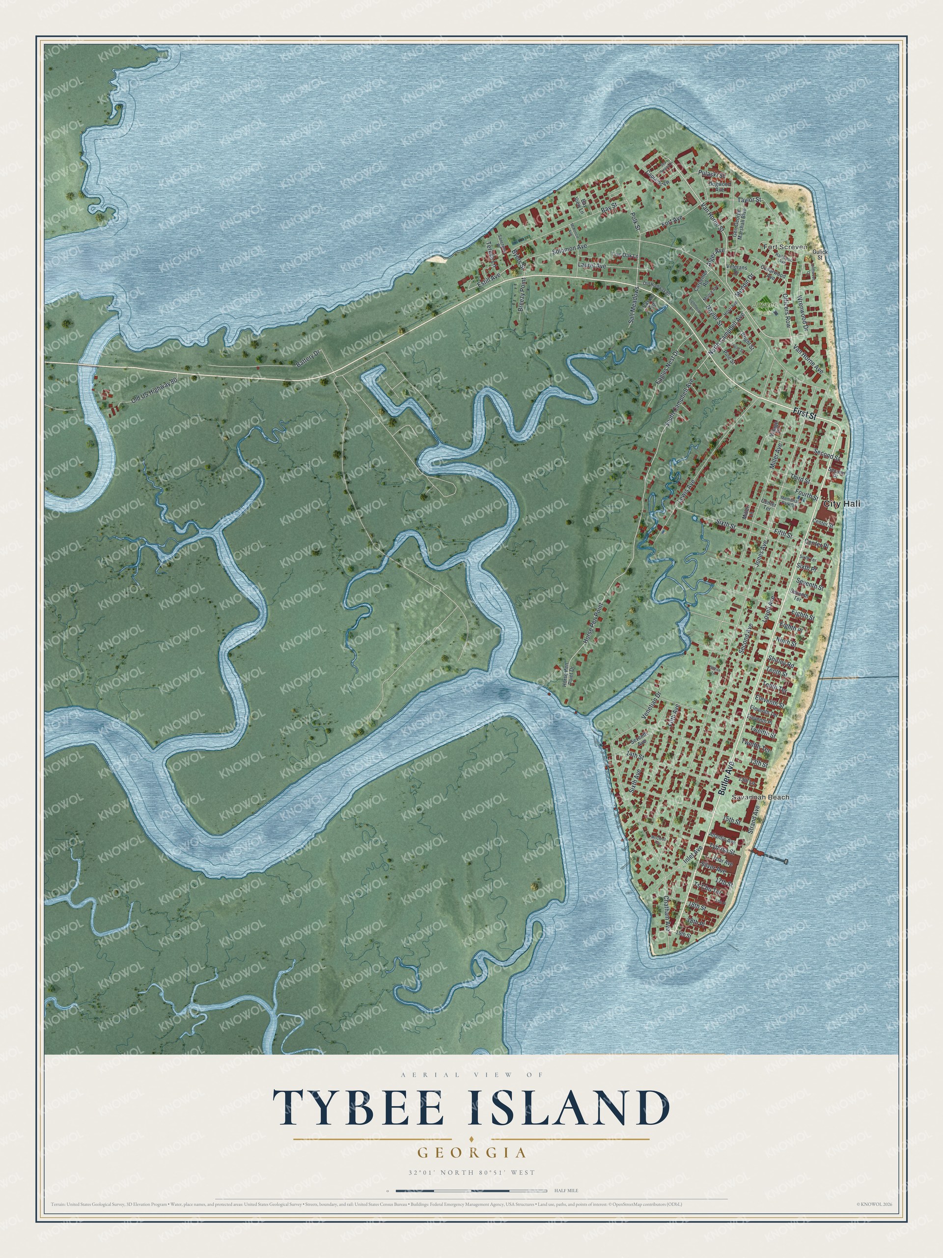
This beautifully detailed map of Tybee Island, Georgia was created in 2026 using aerial imagery combined with modern topographical, census, street and landmark data. It’s a one-of-a-kind view of Tybee Island that combines accurate data with a vintage aesthetic. The map shows every building in its true location, many of the roads carry their names, and the shaded topographic relief shows the shape of the land.
Explore an aerial view of Tybee Island, Georgia
On the map you’ll find City Hall, Officers Row, Fort Screven, Savannah Beach, and Jaycee Park, along with First Street, Butler Avenue, Van Horne Avenue, and more. If you look closely you can even find your house accurately drawn in its correct location. Zoom in on the preview to look for yours.
Did You Know?
Tybee’s first lighthouse rose in 1736 at the island’s north end. At 90 feet, it was then the tallest structure in America. Erosion and time forced several rebuilds. The bottom 60 feet of the 1773 tower still stand, topped by 94 feet added in 1867.
Take a closer look at the Tybee Island map
Names on this map
These names are printed on this map.
Places: City Hall, Fort Screven, Savannah Beach and Jaycee Park.
Streets and roads: First Street, Butler Avenue, Officers Row, Van Horne Avenue, Van Horne Street, Wrenwood Drive, Jones Avenue, Fifth Street, South Campbell Avenue, Polk Street, Estill Avenue, Byers Street.
More street names, A to Z
13th Lane, 13th Street, 14th Street, 15th Street, 17th Place, 17th Street, 18th Place, 18th Street, 19th Street, Alger Avenue, Atlantic Avenue, Battery Drive, Bay Street, Bay View Lane, Billfish Lane, Breezy Point, Bright Street, Captains Vw, Carpenter Road, Cason Avenue, Cedarwood Avenue, Center Place, Center Street, Center Terrace, Chatham Avenue, Dogwood Avenue, Driftwood Court, Eagles Nest Drive, Eighth Place, Eighth Street, Eleventh Place, Eleventh Street, Eleventh Terrace, Fifth Avenue, Fort Avenue, Fourth Street, Gen George Marshall Boulevard, Gulick Street, Horse Pen Point, Horse Pen Point Drive, Hosti Avenue, Inlet Avenue, Izlar Avenue, Laurel Avenue, Lewis Avenue, Lighthouse Lane, Live Oak Lane, Logan Street, Lovell Avenue, McCleod Avenue, McKenzie Avenue, Meddin Drive, Memorial Park Drive, Miller Avenue, Miller Lane, Moore Avenue, Naylor Street, Ninth Street, North Campbell Avenue, Old Highway 80, Old US Highway 80, Pine Street, Pulaski Street, Railwood Avenue, Salt Meadows, Sanctuary Place, Sea Breeze Lane, Second Avenue, Second Place, Second Street, Seventh Avenue, Seventh Street, Seventh Terrace, Shirley Road, Silver Avenue, Sixth Avenue, Sixth Place, Sixth Street, Sixth Terrace, Solomon Avenue, Strand Avenue, Taylor Street, Tenth Street, Tenth Terrace, Teresa Lane, Third Street, Ts Chu Terrace, Twelfth Street, Twelfth Terrace, Tybrisa Street, Venetian Drive, Veterans Drive, Village Place.
See it on a wall
The Tybee Island map as a framed print. Swipe for more.


This beautifully detailed map of Tybee Island makes an attractive addition to your office, library, or den, and it can even be used to teach children the geography and history of the area. It also makes a great gift for someone who left Tybee Island and still calls it home. When you’re done exploring, click here to get your copy of the Tybee Island map.