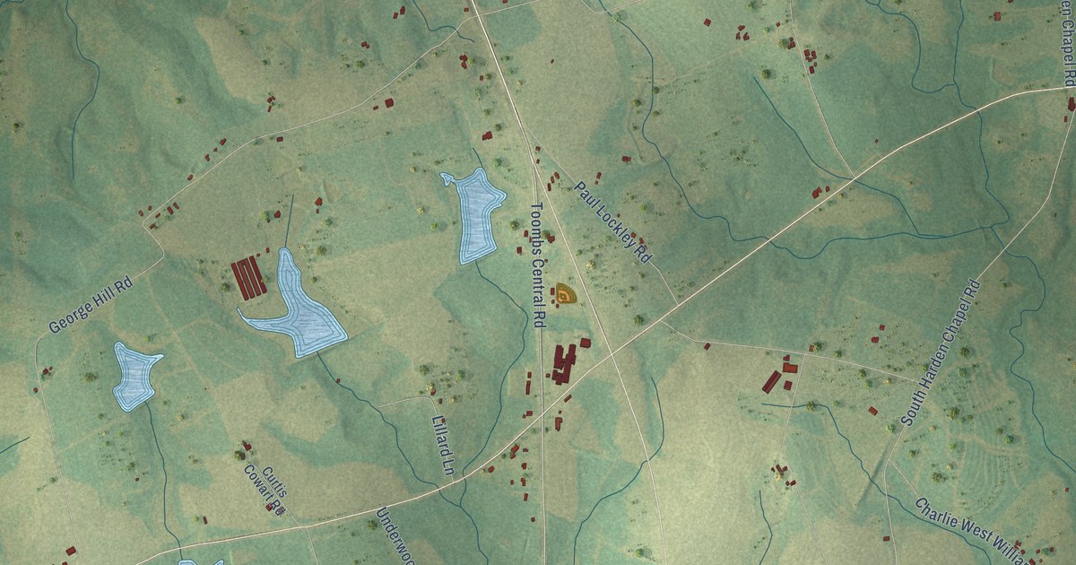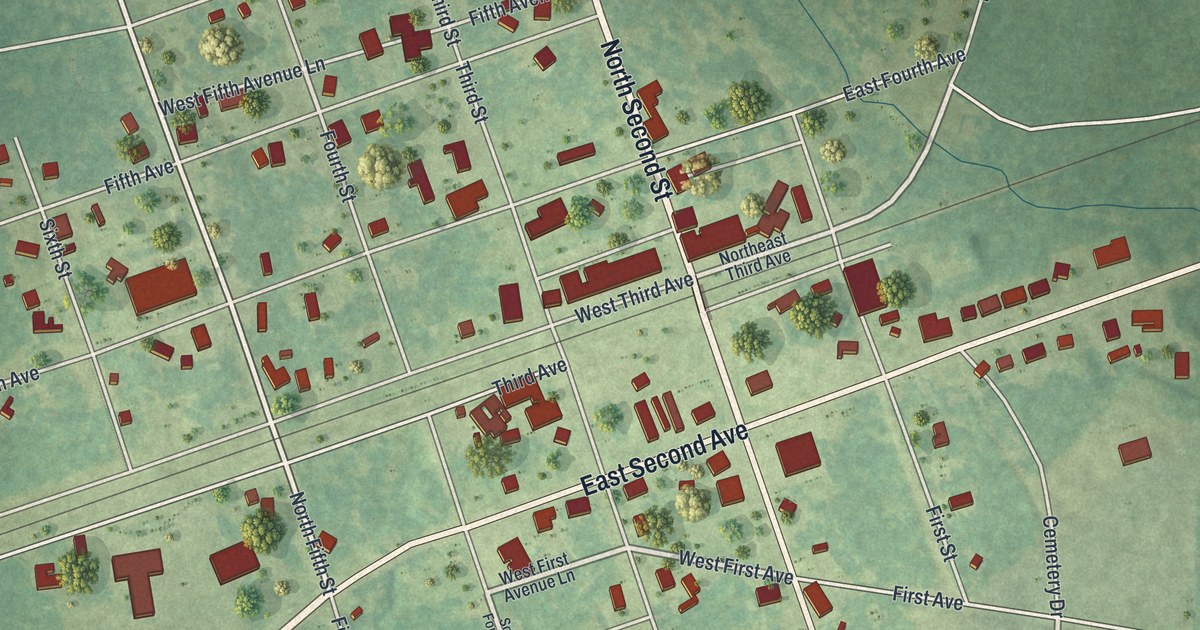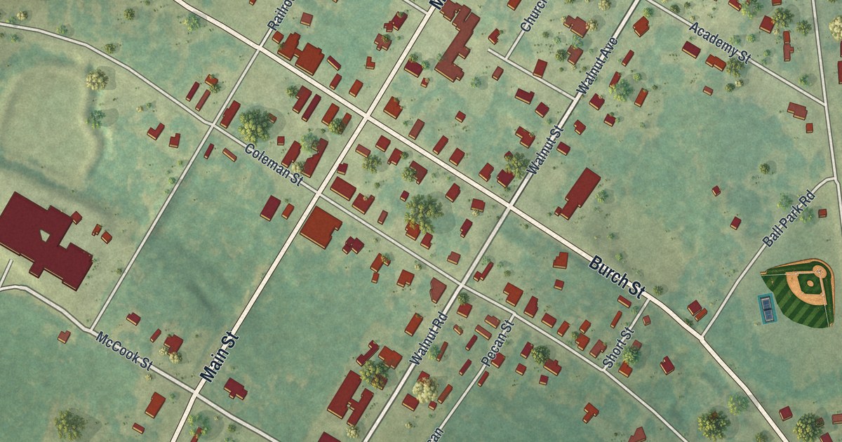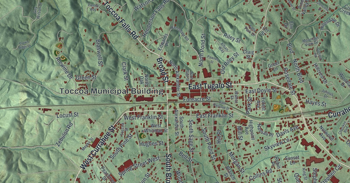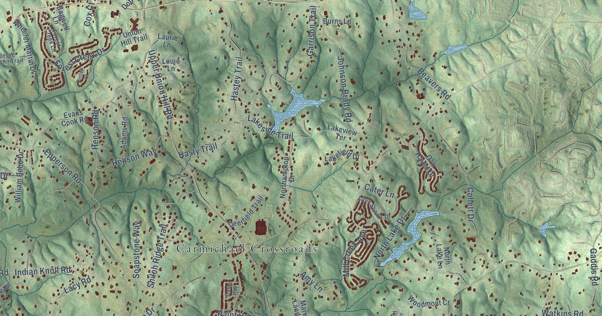
This beautifully detailed map of Avery, Georgia was created in 2026 using aerial imagery combined with modern topographical, census, street and landmark data. It’s a one-of-a-kind view of Avery that combines accurate data with a vintage aesthetic. The map shows every building in its true location, many of the roads carry their names, and the shaded topographic relief shows the shape of the land.
Explore an aerial view of Avery, Georgia
On the map you’ll find Carmichael Crossroads, Batesville, Harmony, Buffington, and Union Hill, along with Cumming Highway, Union Hill Road, East Cherokee Drive, Sugar Pike Road, Arbor Hill Road, Harmony Drive, Epperson Road, and more. If you look closely you can even find your house accurately drawn in its correct location. Zoom in on the preview to look for yours.
Take a closer look at the Avery map
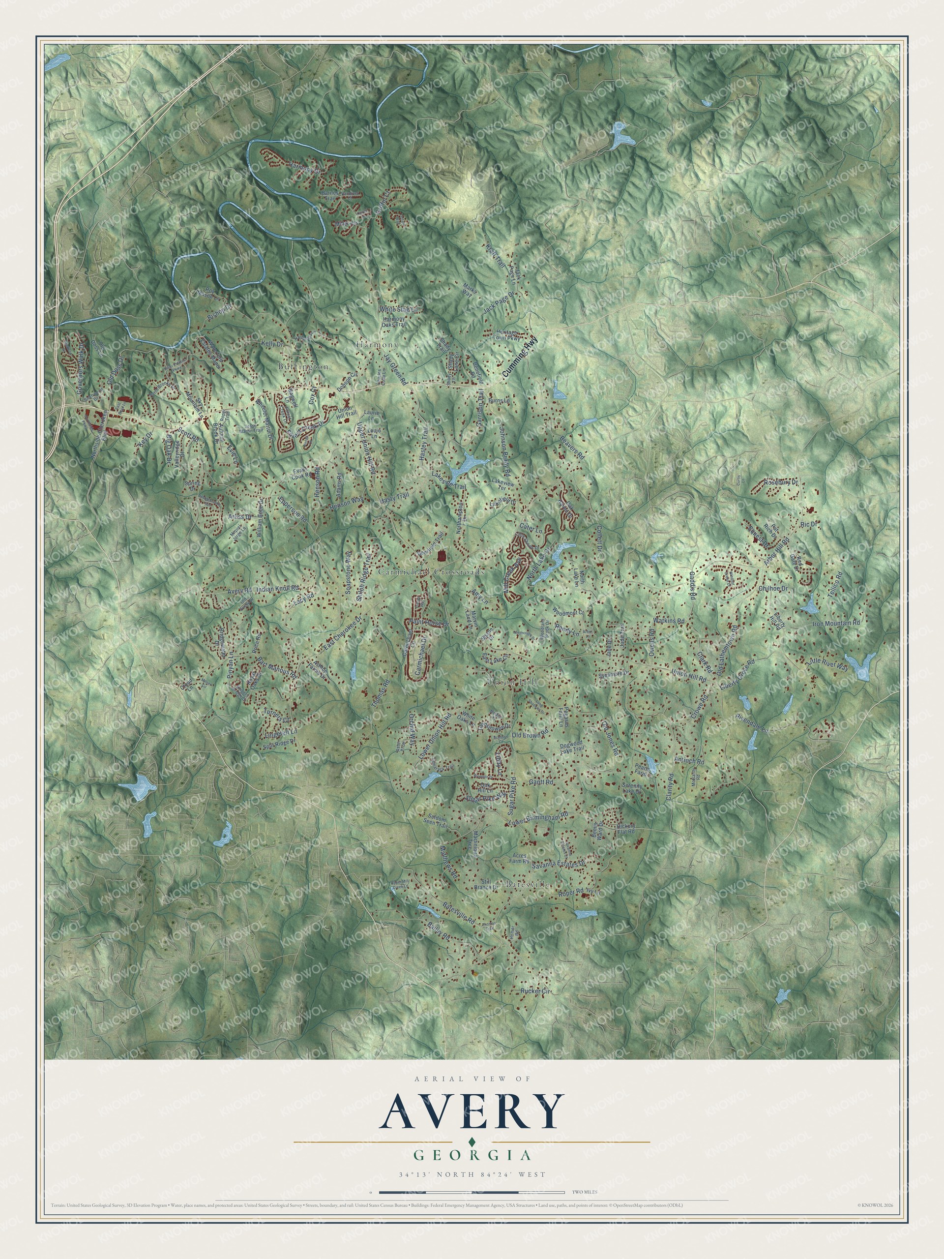
Names on this map
These names are printed on this map.
Places: Carmichael Crossroads, Batesville, Harmony, Buffington and Union Hill.
Streets and roads: Cumming Highway, Union Hill Road, East Cherokee Drive, Sugar Pike Road, Arbor Hill Road, Harmony Drive, Epperson Road, Lower Birmingham Road, Liberty Grove Road, Jay Green Road, Lower Union Hill Road, Thomas Road.
More street names, A to Z
Acres Farm Road, Adams Road, Amy Lane, Antioch Road, Arbor Lane, Arliss Drive, Ashton Farms Drive, Aster Trce, Autumn Brook Drive, Avery Road, Bagwell Lane, Bailey Road, Barnes Trail, Bart Manous Road, Batesville Road, Beavers Road, Bemis Ward Drive, Benefield Road, Big Oak Drive, Birchwood Drive, Bishop Drive, Brannon Court, Brannon Drive, Bridgewater Drive, Burns Lane, Carmichael Circle, Carmichael Drive, Carter Lane, Cater Lane, Charles Cobb Lane, Chilhoe Drive, Clarity Road, Clark Road, Cloud Lane, Collett Drive, Cox Court, Crowe Road, Curtis Lane, Deerfield Trail, Dobson Circle, Dogwood Lake Trail, East Boyd Lane, East Lake Circle, Equest Drive, Evans Cook Road, Evie Lane, Forest Creek Drive, Forest Creek Lane, Gaddis Road, Gantt Road, Garrison Trail, Governors Walk Drive, Griffin Court, Hardwood Lane, Harmony Oaks Trail, Hastey Trail, Hasty Trail, Henson Road, Henson Way, Heritage Town Parkway, Hickory Flat Road, Homer Road, Indian Knoll Road, Iron Mountain Road, Ivy Lane, Jack Page Drive, Jack Page Lane, Jade Drive, Jade Trail, Jesse Martin Trail, Johnson Brady Road, Kelly Drive, Key Drive, Knights Bridge Drive, Kraft Trail, Lacy Road, Lakefield Drive, Lakeside Trail, Lakeview Terrace, Landsdowne Drive, Laurie Lane, Libby Lane, Liberty Hill Road, Lingefelt Lane, Little River Way, Little Shoals Drive, Long Shadows Drive, Louie Lane, Marks Way, Martinique Trce, Marvin Land Lane, Matthew Drive, Matthews Road, McGarity Road, Melanie Court, Mill Creek Avenue, Miller Heights, Milner Circle, Miquel Jorge Lane, Northampton Drive, North Brooke Drive, Northcreek Drive, North Lake Drive, North Lake Lane, Northside-Cherokee Boulevard, Northside Parkway, Oak Haven Drive, Oak Hill Lane, Old Avery Drive, Old Brown Road, Old Doss Drive, Old Doss Lane, Old Jones Road, Old Lathemtown Road, Orchid Way, Owens Road, Paint Horse Drive, Pat Rich Drive, Pearls Farm, Pebblebrooke Run, Pegasus Farm Lane, Pintail Court, Pinyan Lane, Price Road, Randy Lane, Red Gate Drive, Ric Drive, Rivendale Lane, River Estates Parkway, Roper Road, Roper Trail, Rosebury Drive, Royal Oaks Drive, Roy Mason Lane, Rucker Circle, Savanna Estates Court, Savanna Estates Drive, Scott Road, Seldom Seen Trail, Serenity Lake Drive, Shady Lane, Shady Lane Circle, Shady Trail, Shane Drive, Shiloh Ridge Trail, Sky Mountain Lane, Soapstone Way, Split Ridge Drive, Spring Drive, Still Branch Drive, Sugar Pike Way, Sycamore Drive, Tamarack Trail, Telfair Way, Tellico Road, Thomas Trail, Trotter Way, Turners Court, Union Hill Trail, Upper Mill Creek Lane, Upper Union Hill Road, Valleyridge Drive, Vandiver Court, Waterford Estates Manor, Watkins Road, Wheeler Martin Drive, White Oaks Lane, White Stag Lane, William Bobo Drive, Windsor Green Drive, Woodland Brook Drive, Woodmont Court.
See it on a wall
The Avery map as a framed print. Swipe for more.


This beautifully detailed map of Avery makes an attractive addition to your office, library, or den, and it can even be used to teach children the geography and history of the area. It also makes a great gift for someone who left Avery and still calls it home. When you’re done exploring, click here to get your copy of the Avery map.