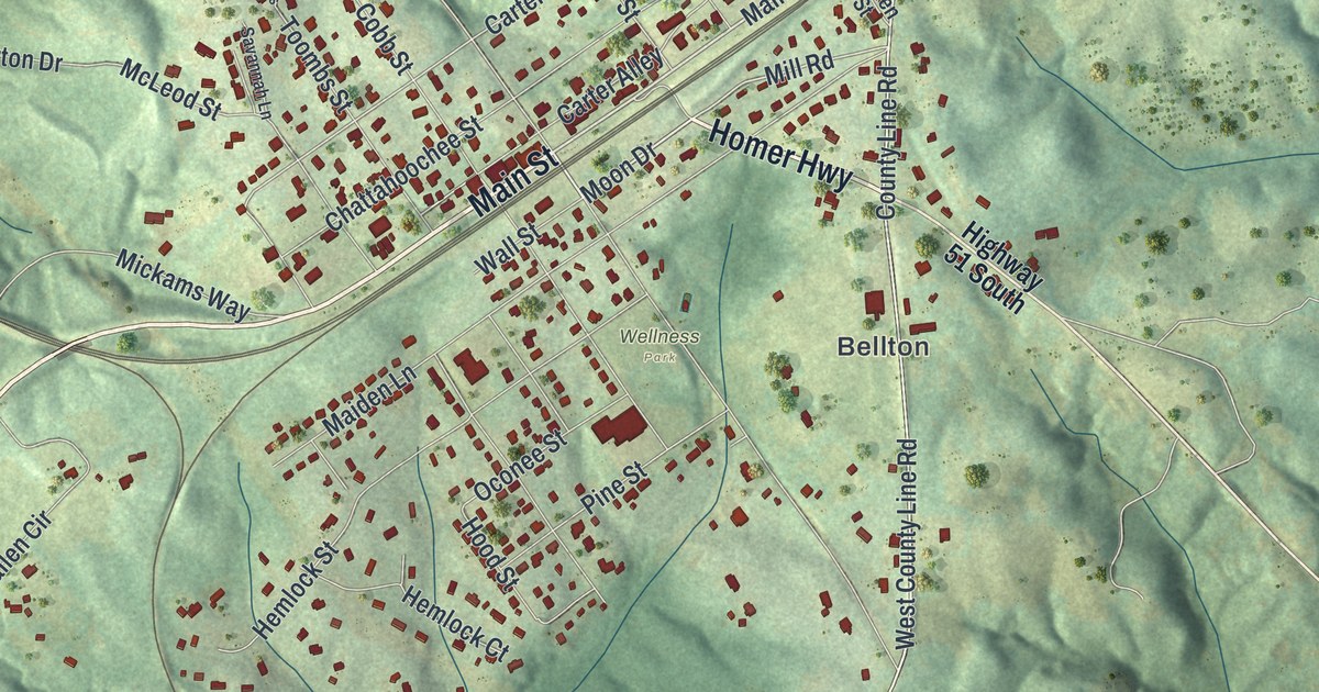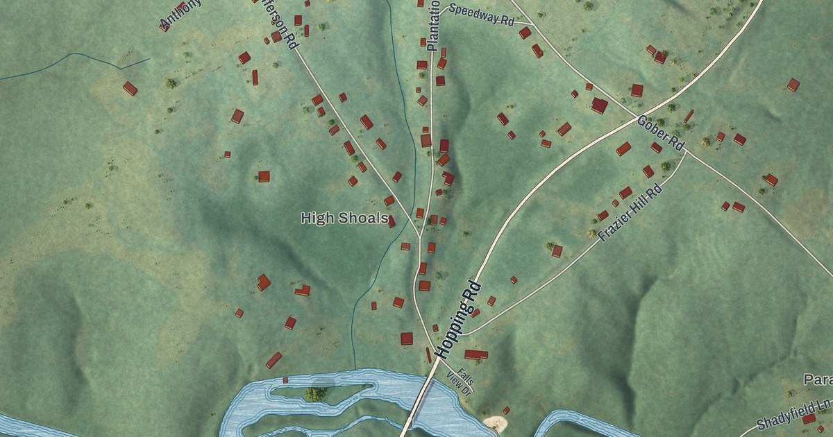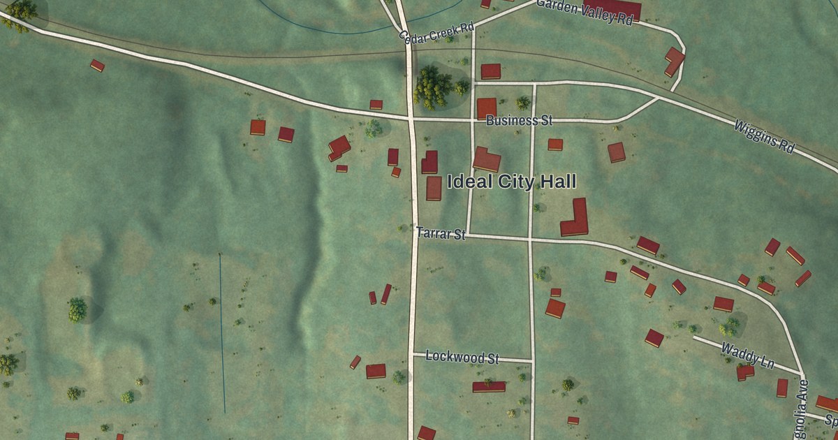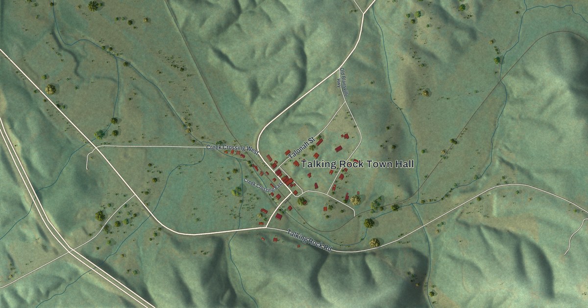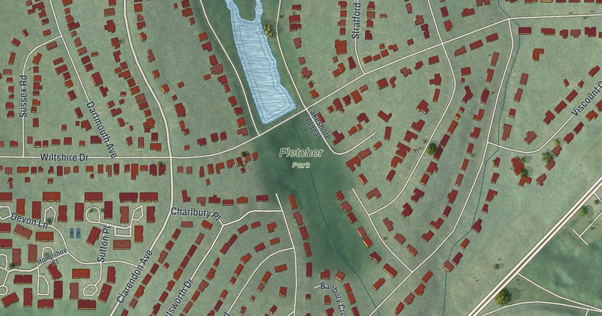
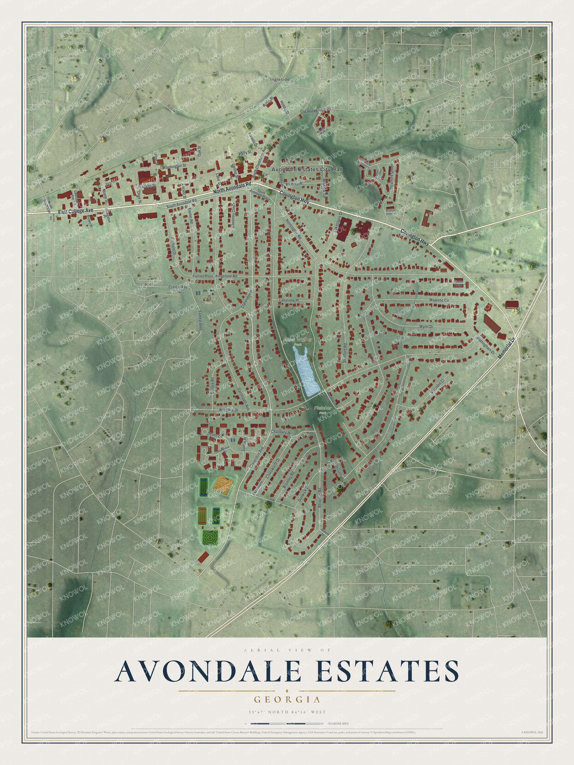
This beautifully detailed map of Avondale Estates, Georgia was created in 2026 using aerial imagery combined with modern topographical, census, street and landmark data. It’s a one-of-a-kind view of Avondale Estates that combines accurate data with a vintage aesthetic. The map shows every building in its true location, many of the roads carry their names, and the shaded topographic relief shows the shape of the land.
Explore an aerial view of Avondale Estates, Georgia
On the map you’ll find Ingleside, Bess Walker Park, Python Park, Avondale Park, and Fletcher Park, along with College Avenue, Avondale Road, Covington Highway, Memorial Drive, Clarendon Avenue, and more. If you look closely you can even find your house accurately drawn in its correct location. Zoom in on the preview to look for yours.
Did You Know?
Patent medicine magnate George Francis Willis founded Avondale Estates in 1924. He bought the whole village of Ingleside to build a planned community. He named it for Stratford-upon-Avon, the English birthplace of Shakespeare. Downtown buildings and many homes were built in Tudor style to match.
Take a closer look at the Avondale Estates map
Names on this map
These names are printed on this map.
Places: Avondale Estates City Hall, Bess Walker Park, Python Park, Avondale Park, Fletcher Park and Ingleside.
Streets and roads: East College Avenue, North Avondale Road, Covington Highway, Memorial Drive, Clarendon Avenue, South Avondale Road, Sutton Place, Windsor Terrace, Berkeley Road, Wiltshire Drive, Majestic Circle, Lakeshore Drive.
More street names, A to Z
Arcadia Avenue, Ashton Place, Banbury Cross, Beech Drive, Bromley Road, Brown Place, Center Street, Charlbury Place, Chatsworth Drive, Chatsworth Road, Clarendon Place, Coventry Close, Craigie Avenue, Dalerose Avenue, Dartmouth Avenue, Devon Lane, Dunwick Drive, Elm Street, Exeter Road, Fairfield Drive, Fairfield Plaza, Forrest Boulevard, Franklin Street, Hampshire Court, Hess Drive, Hobbs Street, Kensington Road, Kingstone Road, Lakeshore Plaza, Lake Street, Lakeview Place, Laredo Drive, Livingston Place, Locust Street, Maple Street, Melford Place, North Clarendon Avenue, North South Con, Nottingham Drive, Oak Street, Old Rockbridge Road, Olive Street, Parry Street, Pine Street, Reese Way, South Avondale Plaza, Stratford Green, Stratford Green Lane, Stratford Green Place, Stratford Green Way, Stratford Road, Sussex Road, Viscount Court, Washington Street, Wells Street, Windsor Walk, Wynn Drive.
See it on a wall
The Avondale Estates map as a framed print. Swipe for more.


This beautifully detailed map of Avondale Estates makes an attractive addition to your office, library, or den, and it can even be used to teach children the geography and history of the area. It also makes a great gift for someone who left Avondale Estates and still calls it home. When you’re done exploring, click here to get your copy of the Avondale Estates map.