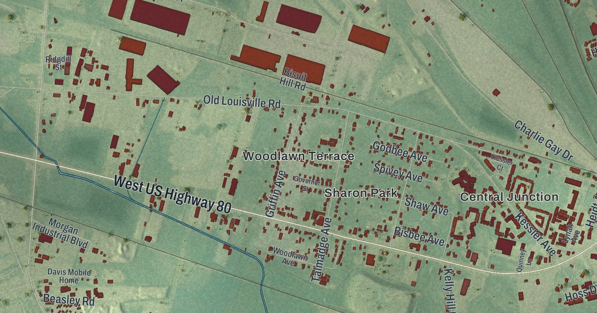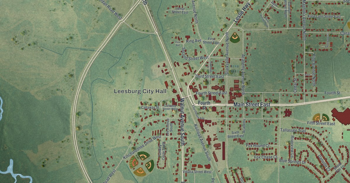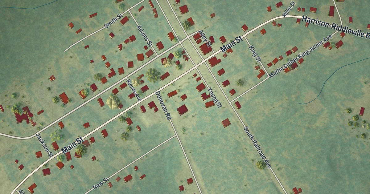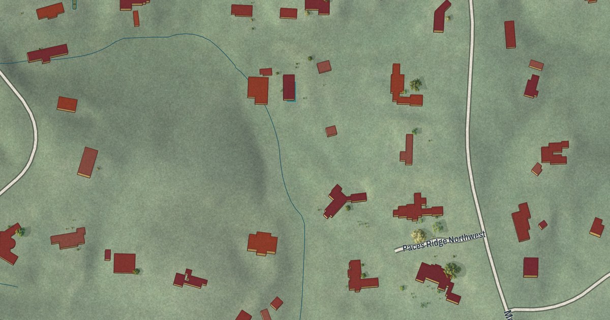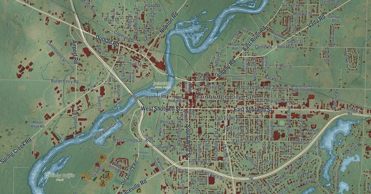
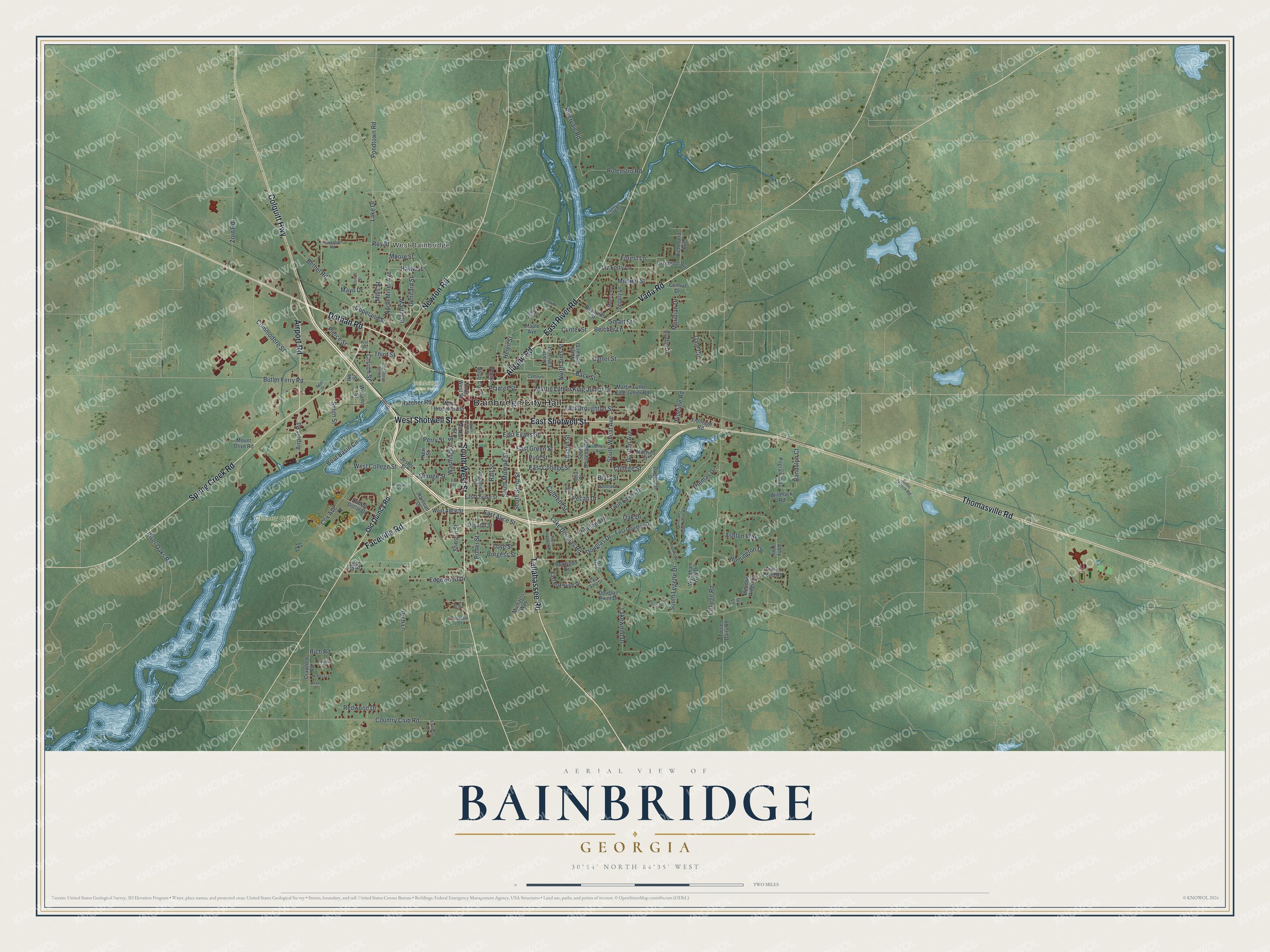
This beautifully detailed map of Bainbridge, Georgia was created in 2026 using aerial imagery combined with modern topographical, census, street and landmark data. It’s a one-of-a-kind view of Bainbridge that combines accurate data with a vintage aesthetic. The map shows every building in its true location, many of the roads carry their names, and the shaded topographic relief shows the shape of the land.
Explore an aerial view of Bainbridge, Georgia
On the map you’ll find Bainbridge City Hall, West Bainbridge, and Cheney Griffin Park, along with Tallahassee Road, Dothan Road, West Street, Albany Road, and more. If you look closely you can even find your house accurately drawn in its correct location. Zoom in on the preview to look for yours.
Did You Know?
The first European settlement at Bainbridge was a trading post run by James Burges in the late 1700s. The spot became known as Burges’s Bluff. The town was later named for Commodore William Bainbridge, who commanded the USS Constitution, known as Old Ironsides. It was incorporated in 1829.
Take a closer look at the Bainbridge map
Names on this map
These names are printed on this map.
Places: Bainbridge City Hall, West Bainbridge, Bainbridge State Park and Cheney Griffin Park.
Streets and roads: Tallahassee Road, Dothan Road, South West Street, Albany Road, West Shotwell Street, Vada Road, Faceville Road, East Shotwell Street, Spring Creek Road, Thomasville Road, East River Road, Newton Road.
More street names, A to Z
Abby Highway, Adell Street, Airport Road, Andrews Street, Ashton Way, Back Lake Circle, Back Street, Belcher Lane, Bethel Road, Big Slough Landing, Bluffton Drive, Boat Basin Circle, Botts Street, Boxwood Drive, Burgess Street, Butler Ferry Road, Calhoun Street, Carter Street, Center Street, Central Drive, Chason Street, Church Street, College Road, College Street, Colquitt Highway, Commodore Street, Copeland Street, Country Club Road, Cox Avenue, Crawford Road, Culbreth Street, Decatur Street, Dennard Street, Dogwood Drive, Douglas Drive, Douglas Point Drive, East Alice Street, East Boxwood Drive, East Broughton Street, East College Street, East Douglas Drive, East Evans Street, East Green Street, East Louise Street, East Sara Street, Edgewood Drive, Eva Street, Fairway Drive, First Street, Forest Lane, Fountain Drive, Frontage Road, Gate Circle, Gee Street, Gordon Avenue, Griffin Street, Hall Street, Hatcher Road, Hawk Street, Helen Street, Hubert Dollar Drive, Huntington Drive, Ike Street, Ivy Lane, Japonica Drive, Jean Drive, Jester Street, Julia Place, Lake Circle Drive, Lake Douglas Road, Lake Drive, Lakewood Drive, Laurel Lane, Lexington Avenue, Liz Felty Lane, Loblolly Lane, Love Street, Majestic Avenue, Maple Avenue, Martin Luther King Junior Drive, Martin Luther King Junior Road, Martin Street, Mayo Drive, McNair Street, Meadow Ridge Drive, Meridian Drive, Michaels Way, Mildred Street, Mills Street, Miluli Avenue, Mimosa Lane, Mitchell Street, Moore Street, Mount Olive Road, Nebo Church Road, New Street, North Clay Street, North Collier Street, North Lamar Street, North Longleaf Drive, North Miller Avenue, North Sims Street, North West Street, Oak Drive, Old Quincy Road, Oleander Drive, Orange Street, Pecan Drive, Perry Street, Pierce Street, Pilgram Way, Pineland Drive, Pine Street, Pipeline Road, Plantation Road, Planter Street, Pondtown Road, Potter Street, Railroad Drive, Randolph Court, Redwine Drive, Redwood Drive, Reynolds Street, Rich Lane, Richmond Avenue, Rich Road, River Oaks Road, Rivervale Road, Rolenstro Road, Roy Street, Smart Street, Smith Street, South Boulevard Drive, South Broad Street, South Legette Drive, South Miller Avenue, South Monroe Street, South Scott Street, South Wheat Avenue, Stinson Street, Third Street, Thomas Drive, Toole Dairy Road, Trish Avenue, Turtle Pond Road, Twin Lakes Drive, Twin Lakes Drive Northeast, Virginia Place, Washington Street, Webster Street, West Alice Street, West Broughton Street, West College Street, Wildhack Road, Williams Street, Woodland Drive, Woodridge Drive, Wyndham Way Drive, Zorn Road.
See it on a wall
The Bainbridge map as a framed print. Swipe for more.


This beautifully detailed map of Bainbridge makes an attractive addition to your office, library, or den, and it can even be used to teach children the geography and history of the area. It also makes a great gift for anyone who grew up in Bainbridge or moved away. When you’re done exploring, click here to get your copy of the Bainbridge map.