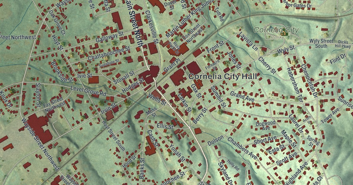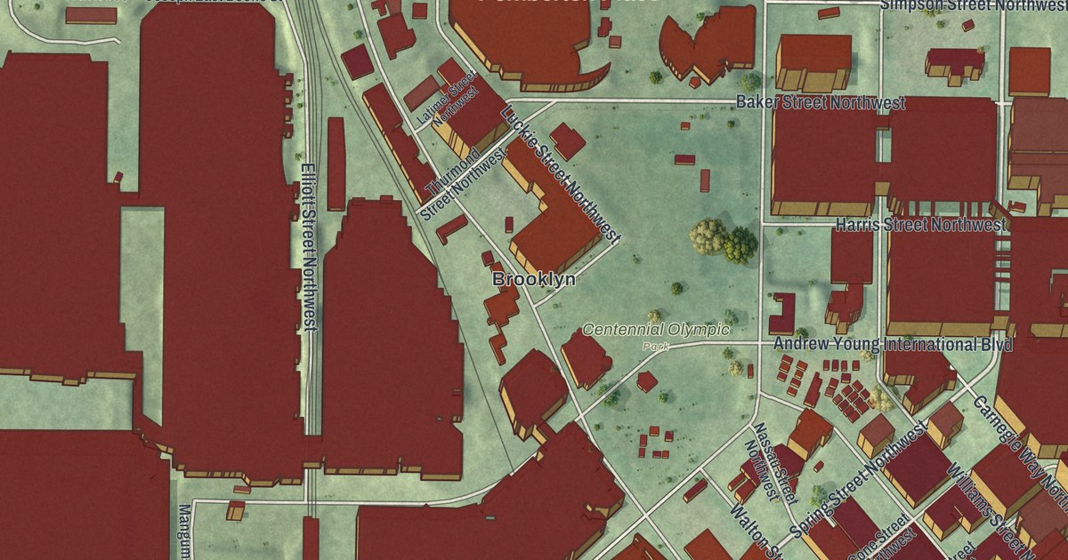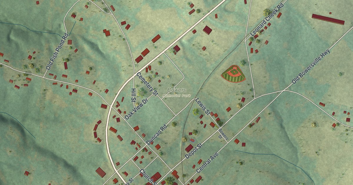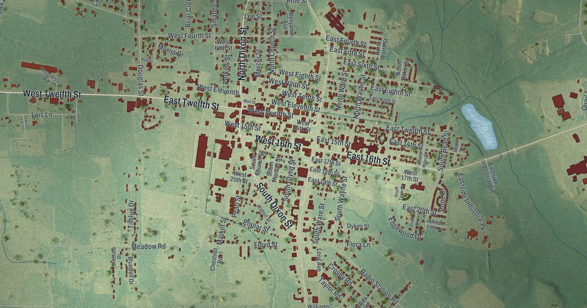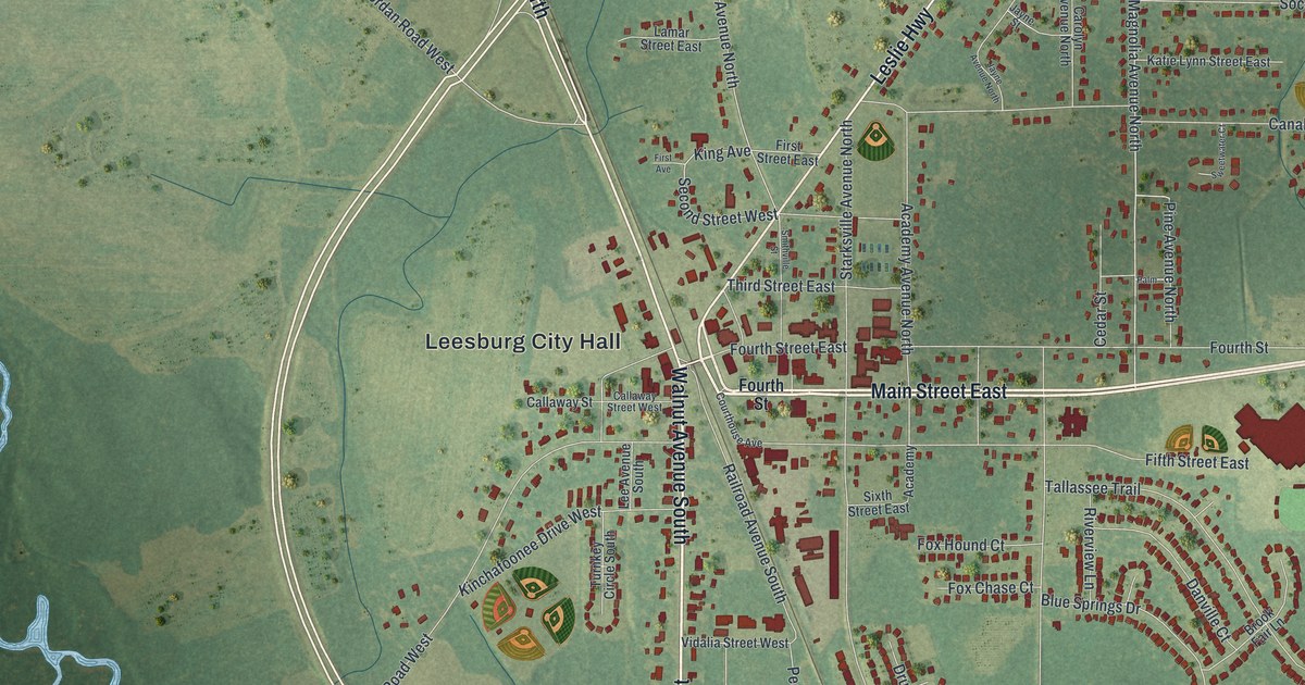
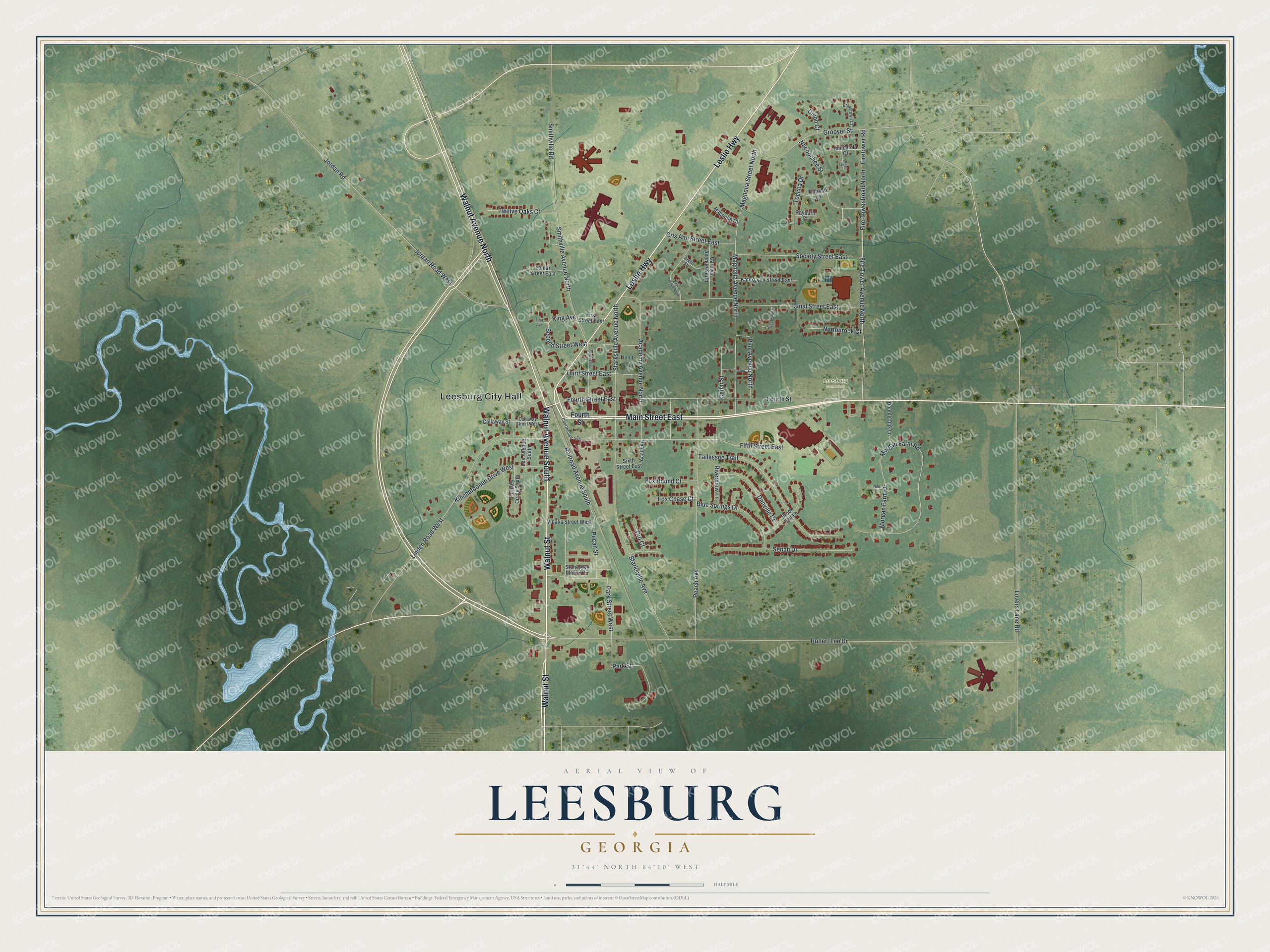
This beautifully detailed map of Leesburg, Georgia was created in 2026 using aerial imagery combined with modern topographical, census, street and landmark data. It’s a one-of-a-kind view of Leesburg that combines accurate data with a vintage aesthetic. The map shows every building in its true location, many of the roads carry their names, and the shaded topographic relief shows the shape of the land.
Explore an aerial view of Leesburg, Georgia
On the map you’ll find Leesburg City Hall, along with Main Street, Walnut Street, Walnut Avenue, Leslie Highway, and more. If you look closely you can even find your house accurately drawn in its correct location. Zoom in on the preview to look for yours.
Did You Know?
Leesburg became the seat of Lee County in 1872. The town and the county were both named for Colonel Henry Lee, known as Lighthorse Harry. In 1781 he captured Augusta from the British. That’s from the 1940 WPA guide to Georgia.
Take a closer look at the Leesburg map
Names on this map
These names are printed on this map.
Places: Leesburg City Hall and Leesburg Cemetery.
Streets and roads: Main Street East, Walnut Street, Walnut Avenue South, Leslie Highway, Walnut Avenue North, Robert Lee Drive, Magnolia Avenue North, Second Street West, King Avenue, Jordan Road West, Smithville Avenue North, Linden Road West.
More street names, A to Z
Academy, Academy Avenue North, Amicalola Court, Blue Springs Drive, Brasstown Court, Brook Fair Lane, Callaway Street, Callaway Street West, Canal Street East, Carolyn Avenue North, Cedar Street, Courthouse Avenue, Cris Ann Street East, Danville Court, Double Oak Lane, Dru Court, Fifth Street East, Fire Tower Avenue North, Firetower Road, Fire Tower Road North, First Avenue, First Street East, Fourth Street, Fourth Street East, Fox Chase Court, Fox Hound Court, Groover Street, Jayne Avenue North, Jayne Street, Jordan Road, Katie Lynn Street East, Kinchafoonee Drive West, Lamar Street East, Lee Avenue South, Lovers Lane Road, Magnolia Court, Magnolia Street North, Morgan Farm Drive, Morgan Farm Road, Nacoochee Street, Nilo Court, Northbrook Court, Palm, Park Street, Park Street West, Peach Avenue, Pecan Street, Pine Avenue North, Railroad Avenue South, Rayburn Court, Riverview Lane, Senah Drive, Sixth Street East, Smithville Road, Smithville Street, Society Street East, Starksville Avenue, Starksville Avenue North, Stonegate Manor Circle, Sweetwater Court, Tallassee Trail, Tallulah Lane, Third Street East, Toccoa Drive, Turnkey Circle South, Twelve Oaks Court, Union Court, Vidalia Street West, Vogel Court.
See it on a wall
The Leesburg map as a framed print. Swipe for more.


This beautifully detailed map of Leesburg makes an attractive addition to your office, library, or den, and it can even be used to teach children the geography and history of the area. It also makes a great gift for anyone with Leesburg roots. When you’re done exploring, click here to get your copy of the Leesburg map.