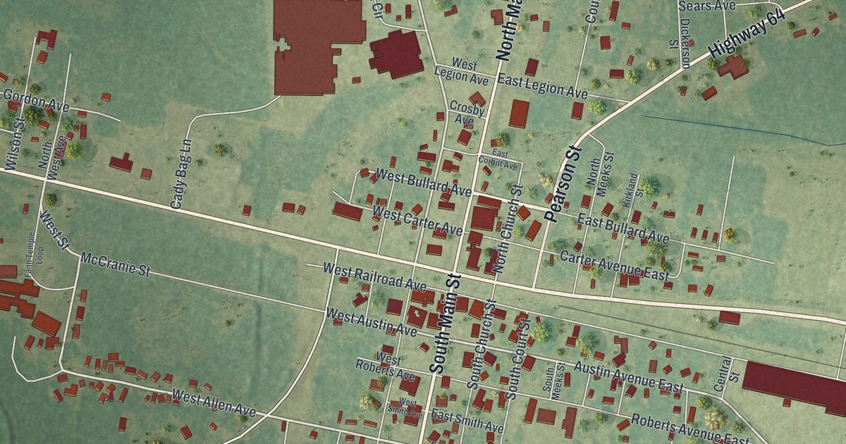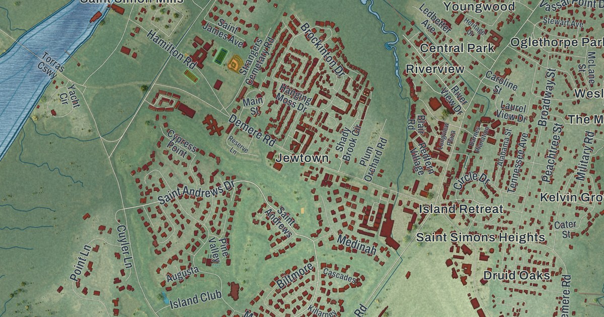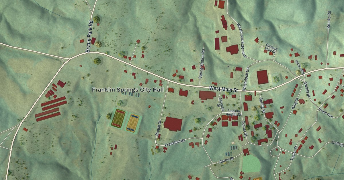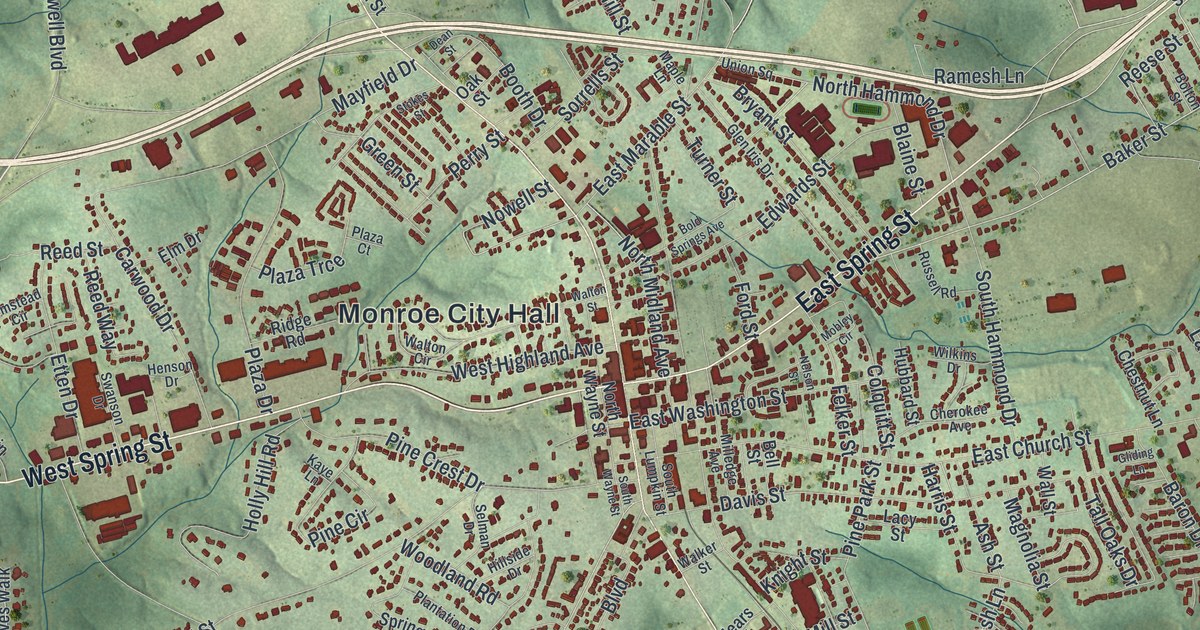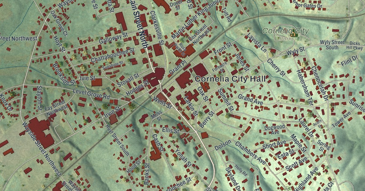
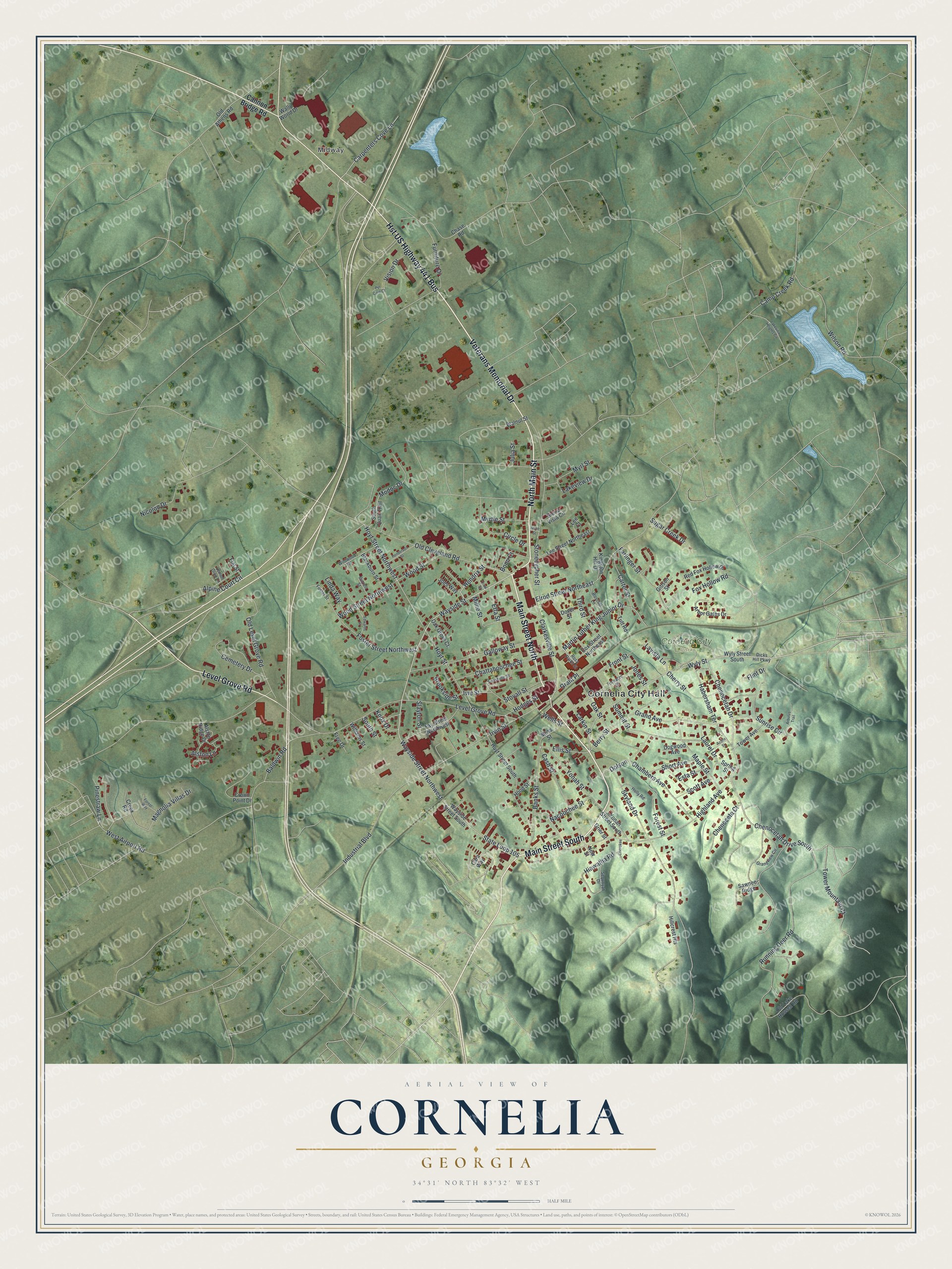
This beautifully detailed map of Cornelia, Georgia was created in 2026 using aerial imagery combined with modern topographical, census, street and landmark data. It’s a one-of-a-kind view of Cornelia that combines accurate data with a vintage aesthetic. The map shows every building in its true location, many of the roads carry their names, and the shaded topographic relief shows the shape of the land.
Explore an aerial view of Cornelia, Georgia
On the map you’ll find Cornelia City Hall, Midway, and Cornelia City Park, along with Main Street, Veterans Memorial Drive, Level Grove Road, Cannon Bridge Road, and more. If you look closely you can even find your house accurately drawn in its correct location. Zoom in on the preview to look for yours.
Did You Know?
Cornelia, incorporated in 1887, sits at the center of northeast Georgia’s apple country. It is known as the home of the Big Red Apple. In 1940, orchards stood thick toward Baldwin. Each summer and autumn, growers sold fresh cider at roadside stands. That’s from the 1940 WPA guide to Georgia.
Take a closer look at the Cornelia map
Names on this map
These names are printed on this map.
Places: Cornelia City Hall, Midway and Cornelia City Park.
Streets and roads: Main Street South, Main Street North, Veterans Memorial Drive, North Main Street, Level Grove Road, Hst US Highway 441 Bus, Chenocetah Drive South, Chenocetah Drive, Wayside Street Northwest, Wayside Street, Hendrix Street, Wyly Street.
More street names, A to Z
Acorn Street, Alpine Court Circle, Alston Lane, Alston Ridge Drive, Arbor Gates Drive, Arbutus Trail, Baldwin Road, Banks Street, Berry Street, Blackburn Street, Bonn Court, Brookside Street, Burrell Street, Camp Creek Road, Cannon Bridge Road, Cara Way, Carpenters Cove Lane, Carter Street, Cash Street, Cemetery Drive, Chambers Avenue, Chase Road, Chattahoochee Street, Chenoceta Court, Cherokee, Cherry Street, Circle Drive, Clarkesville Street, Cox Street Northeast, Creek Road, Crown Point Drive, Crow Street, Dicks Hill Parkway, Dogwood Avenue, Dolson, Dover Street, Edwards Street, Ellis Street, Elrod Street Northeast, Esta Street, Etta Street, Farlinger Street, Fay Street Northwest, Flat Street, Flint Drive, Foreacre Street, Forest Street, Forest Way, Foster Street, Foster Street Northwest, Fox Hollow Road, Free Drive, Front Street, Furniture Drive, Galloway Street, Gibson Street, Grand Avenue, Grandview Circle, Grant Place, Grier Street, Habersham Terrace, Henderson Street, Hiawatha Road, Highland Avenue, Hillcrest Heights, Hodges Street, Holly Road, Hood Street, Hoyt Street, Hoyt Street Northwest, Hoyt Street South, Industrial Boulevard, Irvin Street, Ivie Street, Joes Way, Jones Street, Julia Street, Kingston Hill Drive, Knox Drive, Lakeview Drive, Lakeview Heights Circle, Larkin Street, Laurel Drive, Lavista Lane, Lee Court, Lee Street Northeast, Lemon Drop Lane, Linda Way, Magnolia Villas Drive, Maple Street, Martin Luther King Junior Drive, Millie Street, Modoc Drive, Moss Street, Myrl Street, Myrtle Street, Nacoochee Street, New Street, Nicolon Drive, Oak Grove Court, Oak Street, Old Athens Road, Old Cleveland Road, Old Lake Russell Road, Old Level Grove Road, Pet Care Court, Pinestraw Lane, Red Fox Hollow Drive, Rosa Parks Street, Roscott Lane, Running Deer Road, Sawnee Ridge, Scott Avenue, Sequoyah Drive, Short Avenue, Short Street, Sierra Vista Circle, Skyland Drive, Slayton Street, South Quail Trail, South Street, Spring Street, State Loop 105, Stonecypher Street, Stovall Street, Sugar Creek Drive, Summit Street, Sunrise Circle, Sunshine Street, Third Street, Tower Avenue, Tower Mountain Court, Tutt Road, Vision Drive, Wally World Drive, Walnut Street, Wayside Street South, Wells Street, West Airport Road, Wildwood Road, Williams Street, Wilson Road, Wood Street, Wood Street Northwest, Wyly Street South, Yonah Street, Yonah Street South.
See it on a wall
The Cornelia map as a framed print. Swipe for more.


This beautifully detailed map of Cornelia makes an attractive addition to your office, library, or den, and it can even be used to teach children the geography and history of the area. It also makes a great gift for anyone with Cornelia roots. When you’re done exploring, click here to get your copy of the Cornelia map.