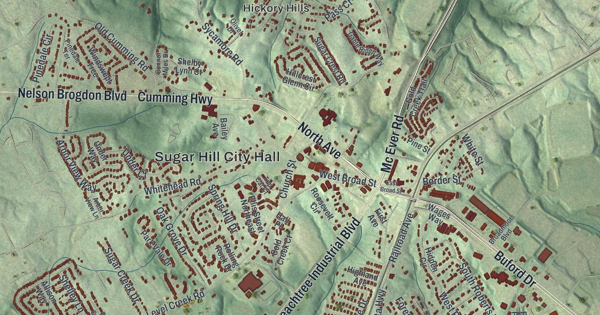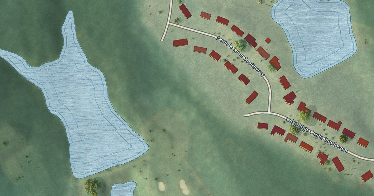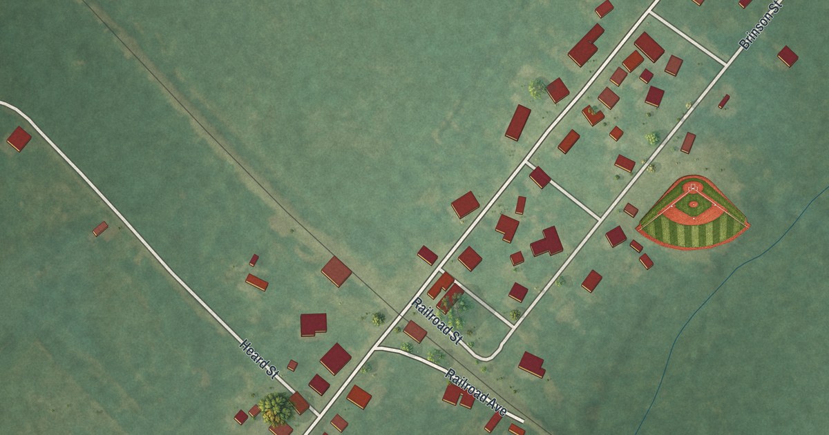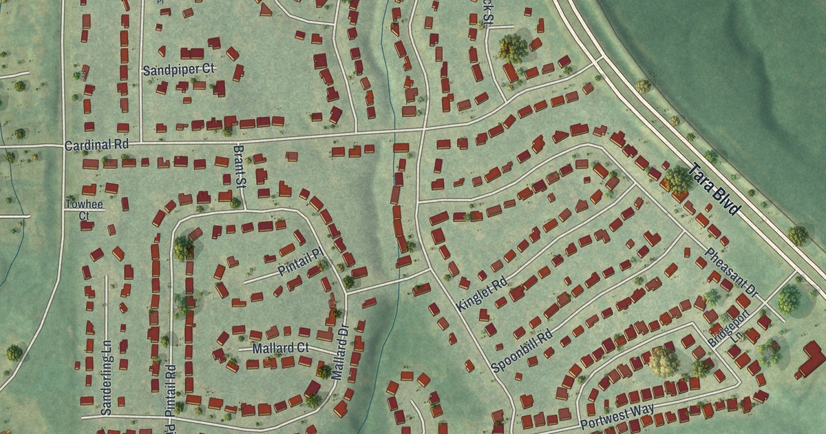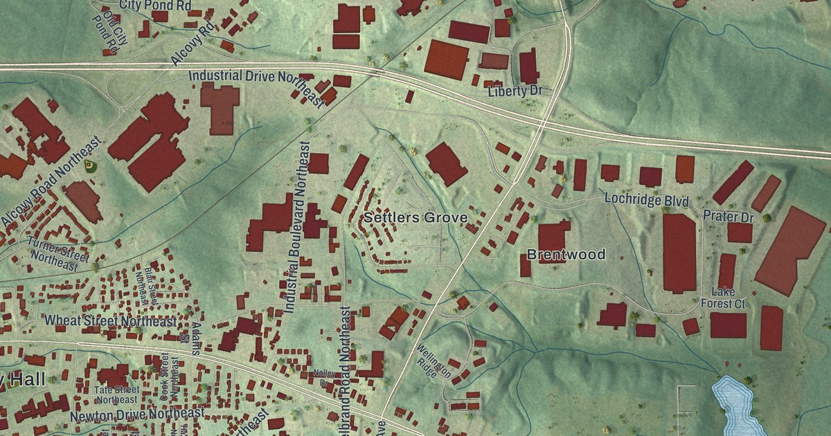
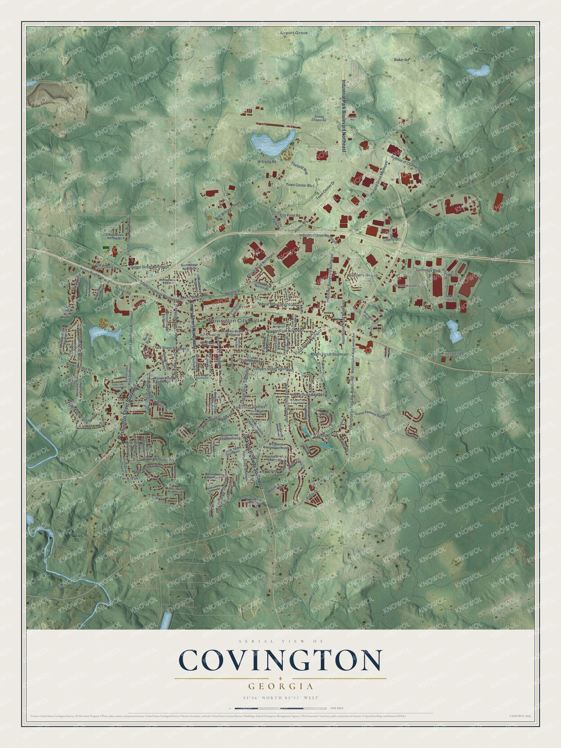
This beautifully detailed map of Covington, Georgia was created in 2026 using aerial imagery combined with modern topographical, census, street and landmark data. It’s a one-of-a-kind view of Covington that combines accurate data with a vintage aesthetic. The map shows every building in its true location, many of the roads carry their names, and the shaded topographic relief shows the shape of the land.
Explore an aerial view of Covington, Georgia
On the map you’ll find Covington City Hall, Airport Grove, Brentwood, Riverbend, Settlers Grove, Twin Oaks, and Chimney Park, along with Washington Street, Jackson Highway, Church Street, Emory Street, and more. If you look closely you can even find your house accurately drawn in its correct location. Zoom in on the preview to look for yours.
Did You Know?
The city took its name from Leonard Covington, an Army brigadier general and congressman. He was a hero of the War of 1812. The town grew once the railroad arrived in 1845. In 1864 Sherman’s troops looted it and destroyed many buildings, but several antebellum homes survived.
Take a closer look at the Covington map
Names on this map
These names are printed on this map.
Places: Covington City Hall, Chimney Park, Airport Grove, Brentwood, Riverbend, Settlers Grove and Twin Oaks.
Streets and roads: Washington Street Southwest, Jackson Highway Southwest, Church Street, Emory Street Northwest, Industrial Park Boulevard Northeast, Bypass Road, Industrial Boulevard Northeast, Floyd Street Northeast, Conyers Street Southeast, Access Road, Lochridge Boulevard, Turner Lake Road Northwest.
More street names, A to Z
Aaron Drive, Access Road Northwest, Adams Street, Alcovy Road, Alcovy Road Northeast, American Way, Atlanta Highway Northwest, Avenue of Champions, Avery Street Southwest, Azalea Drive, Baker Road, Blair Street Northeast, Bob Williams Parkway, Brown Bridge Road, Capes Drive Northwest, Carlin Drive, Carlton Trail Northwest, Carroll Street Southwest, Cecelia Street Southwest, City Pond Road, Clark Street Southwest, Collier Street Southwest, Cook Street Northeast, Covington by Pass Road, Crestview Drive Southeast, David Circle Southeast, Davis Street, Dearing Street Northeast, Dearing Street Southeast, Eagle Drive, East Street Northeast, Eberhardt Street Northwest, Elizabeth Street Northeast, Elliott Street Southeast, Elm Street Northeast, Emory Street Southwest, Fairway Drive, Farmington Lane Southeast, Fieldcrest Walk, Flat Rock Trail Southeast, Flat Shoals Road Southwest, Forest Drive Southeast, Foxfield Way, Geiger Street Northwest, Golfview Lane, Green Acres Drive Southwest, Greenway Lane Southwest, Harland Drive Northeast, Hazelbrand Road Northeast, Hazel Street Northeast, Henderson Drive, Hendrick Street Southwest, Herring Street, Herring Street Northwest, Highland Drive Southwest, Industrial Drive Northeast, Ivy Street Southwest, Jefferson Village Drive Southwest, Jim Purcell Drive, Keegan Court, King Street Southeast, Lake Forest Court, Lakeview Drive Southwest, Laseter Street Southwest, Laurel Drive Southwest, Legion Drive Southeast, Liberty Drive, Linwood Drive Southeast, Louise Street Southeast, Magnolia Heights Circle, Malcolm Drive, Maple Drive Southwest, Martin Luther King Junior Avenue, Martin Street Southeast, Melody Circle Southwest, Mill Street Northeast, Nelson Drive Southwest, Newton Drive Northeast, Nolley Drive, North Dinah Circle, North Links Drive, North Pratt Street, North Sterling Lakes Drive, North Street Northwest, Odum Street Northwest, Old Atlanta Highway, Old Atlanta Road, Old City Pond Road, Old Monticello Street Southeast, Pace Street, Park Street, Petty Street Southwest, Pinecrest Drive Southwest, Plantation Trce, Plantation Trce Southeast, Prater Drive, Puckett Street Southwest, Rebecca Street Southwest, Robinson Street Northwest, Scarlett Drive Southwest, Scenic Parkway Southeast, Simms Chapel Road, South Dearing Street, South Dinah Circle, South Sterling Lakes Drive, Southwest Carr Circle, Spillers Drive Southwest, Stallings Street Northwest, Sterling Lane, Sunny Drive Southwest, Swann Street, Tara Drive Southwest, Tate Street Northeast, Tew Lane Southwest, Thompson Avenue Southeast, Thrash Street Southwest, Town Center Boulevard, Town Center Drive, Turner Lake Circle Southwest, Turner Lake Road Southwest, Turner Street Northeast, Usher Street Northwest, Village Drive Northwest, Vista Drive Southeast, Walnut Street Southwest, Wellington Ridge, West Street Northwest, West Street Southwest, Westview Drive Southwest, Wheat Street Northeast, Williams Road, Williams Street Northeast, Woodhaven Drive Northwest, Woodland Avenue Southeast, Wood Street Southeast.
See it on a wall
The Covington map as a framed print. Swipe for more.


This beautifully detailed map of Covington makes an attractive addition to your office, library, or den, and it can even be used to teach children the geography and history of the area. It also makes a great gift for anyone with Covington roots. When you’re done exploring, click here to get your copy of the Covington map.