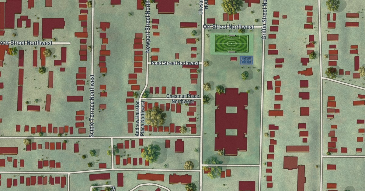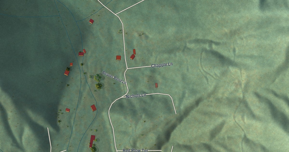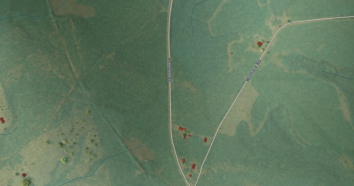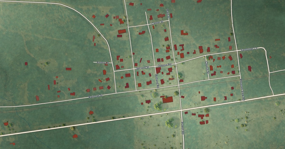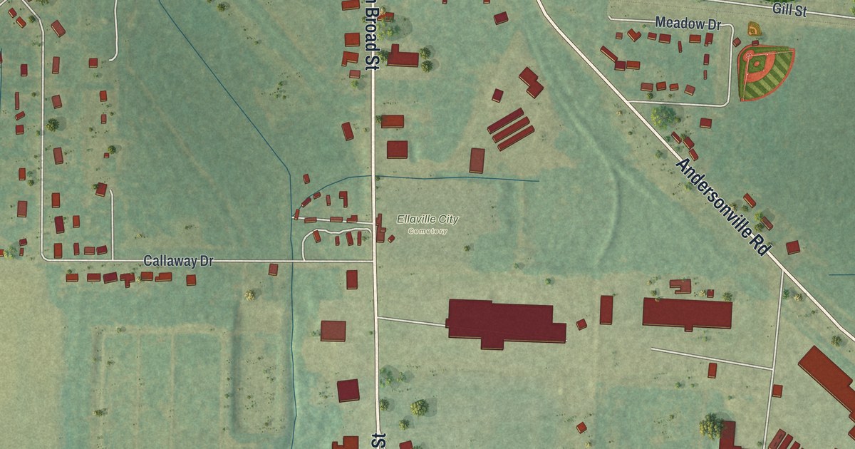
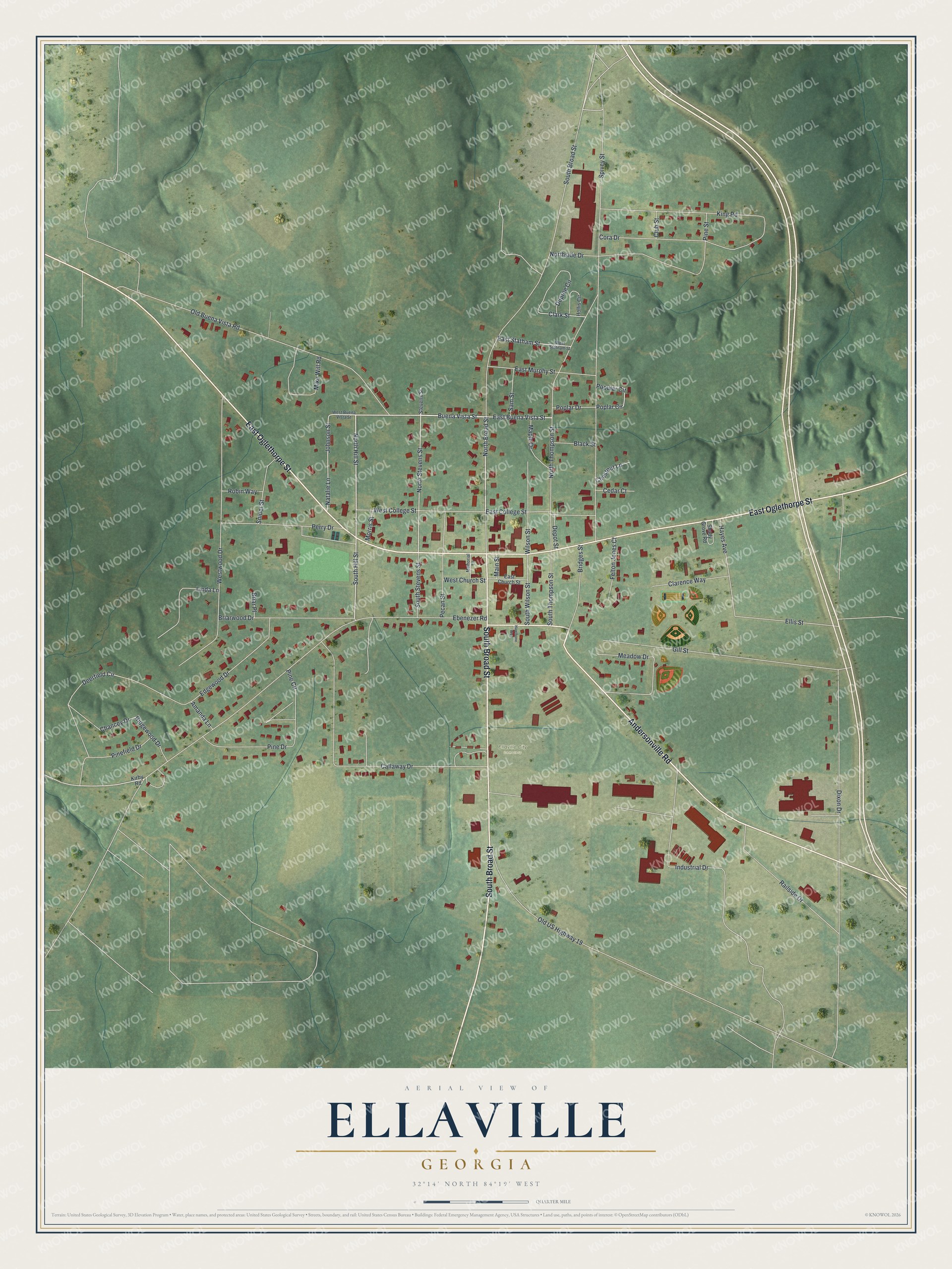
This beautifully detailed map of Ellaville, Georgia was created in 2026 using aerial imagery combined with modern topographical, census, street and landmark data. It’s a one-of-a-kind view of Ellaville that combines accurate data with a vintage aesthetic. The map shows every building in its true location, many of the roads carry their names, and the shaded topographic relief shows the shape of the land.
Explore an aerial view of Ellaville, Georgia
On the map you’ll find Ellaville City Cemetery, along with Oglethorpe Street, Andersonville Road, Broad Street, Buena Vista Street, Hill Street, and more. If you look closely you can even find your house accurately drawn in its correct location. Zoom in on the preview to look for yours.
Did You Know?
Before Ellaville, there was Pond Town, set up in 1812 beside the stagecoach road. The land then belonged to the Muscogee Creek Nation. Pond Town grew lively and became known for horse racing and whiskey. In 1826 it briefly served as county seat for the huge new Lee County.
Take a closer look at the Ellaville map
Names on this map
These names are printed on this map.
Places: Ellaville City Cemetery.
Streets and roads: East Oglethorpe Street, Andersonville Road, South Broad Street, Buena Vista Street, North Hill Street, North Broad Street, South Hill Street, East Buena Vista Street, North Stevens Street, Ebenezer Road, Spivey Street, Dixon Drive.
More street names, A to Z
Amanda Lane, Black Street, Briar Place, Briarwood Drive, Bridges Street, Callaway Drive, Cedar Court, Chancey Drive, Chestnut Lane, Clarence Way, Clark Street, Club Street, Cora Drive, Deerfield Circle, Depot Street, Dupree Circle, East Church Street, East College Street, East Murphy Street, East Statham Street, Edgewood Drive, Ellis Street, Felton Jones Court, Gill Street, Hawthone Way, Hayes Avenue, Hollis Circle, Industrial Drive, Johnson Street, King Road, Kirby Road, Linda Lane, Main Street, Maple Drive, Meadow Drive, Memorial Lane, Mike Will Road, Morris Street, Natalie Lane, Northside Drive, North Thompson Street, Old Buena Vista Road, Old US Highway 19, Pecan Street, Perry Drive, Pine Circle, Pine Drive, Pinefield Drive, Pine Street, Poplar Circle, Poplar Drive, Popular Circle, Railside Drive, Ridgewood Drive, Robin Way, Sam Street, Shady Grove Road, Snider Street, South Stevens Street, South Thompson Street, South Wilson Street, Stevens Street, West Buena Vista Street, West Church Street, West College Street, West Statham Street, Westwood Drive, Wilson Street.
See it on a wall
The Ellaville map as a framed print. Swipe for more.


This beautifully detailed map of Ellaville makes an attractive addition to your office, library, or den, and it can even be used to teach children the geography and history of the area. It also makes a great gift for anyone who grew up in Ellaville or moved away. When you’re done exploring, click here to get your copy of the Ellaville map.