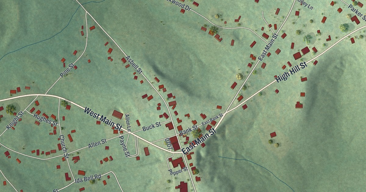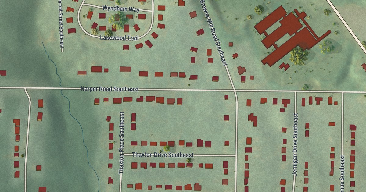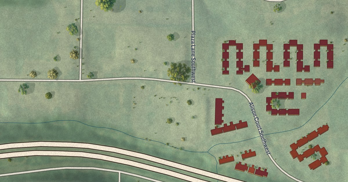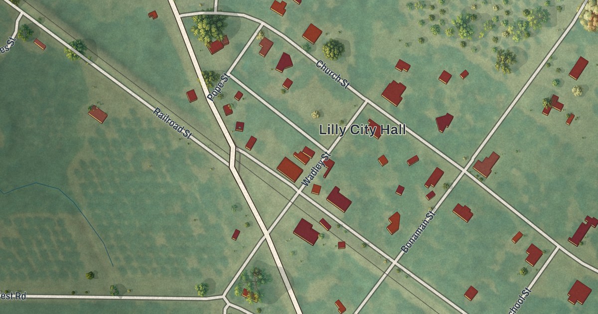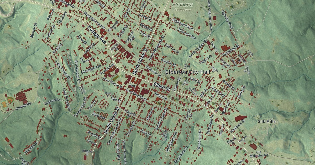
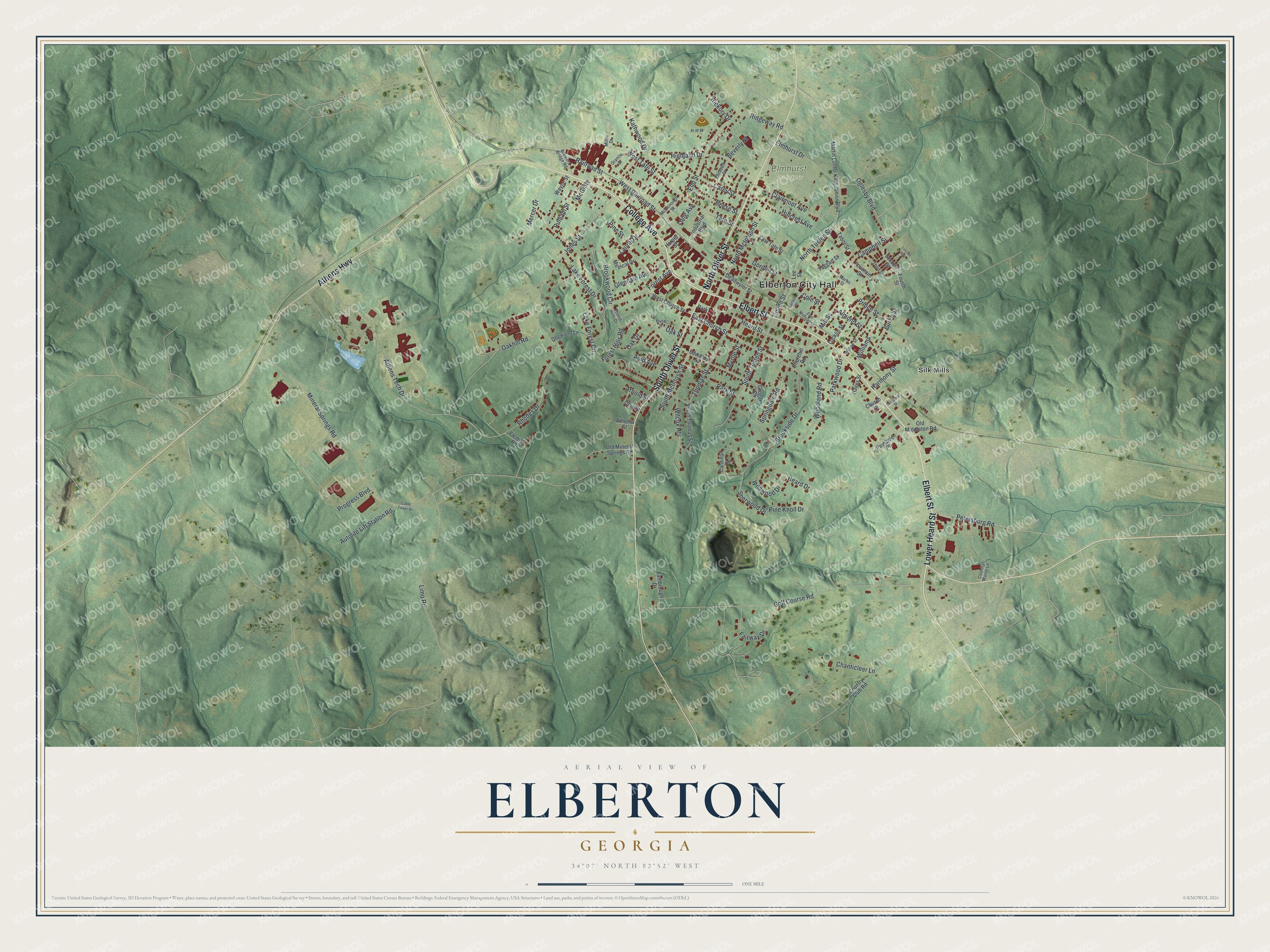
This beautifully detailed map of Elberton, Georgia was created in 2026 using aerial imagery combined with modern topographical, census, street and landmark data. It’s a one-of-a-kind view of Elberton that combines accurate data with a vintage aesthetic. The map shows every building in its true location, many of the roads carry their names, and the shaded topographic relief shows the shape of the land.
Explore an aerial view of Elberton, Georgia
On the map you’ll find Elberton City Hall, Silk Mills, and Elmhurst Cemetery, along with College Avenue, Lower Heard Street, Elbert Street, Oliver Street, and more. If you look closely you can even find your house accurately drawn in its correct location. Zoom in on the preview to look for yours.
Did You Know?
People call Elberton the granite capital of the world. The city and its county are both named for Samuel Elbert. Settlers arrived in the 1780s, and the place became seat of the new Elbert County in 1790. It became a town in 1803 and a city in 1896.
Take a closer look at the Elberton map
Names on this map
These names are printed on this map.
Places: Elberton City Hall, Elmhurst Cemetery, Silk Mills and Park.
Streets and roads: College Avenue, Lower Heard Street, Elbert Street, North Oliver Street, South Oliver Street, Athens Highway, Railroad Street, West Railroad Street, Clairmont Avenue, Heard Street, West Tate Street, North Tusten Street.
More street names, A to Z
Almond Street, Arnold Street, Athenia Street, Athens Tech Drive, Auld Avenue, Autolite Lift Station Road, Bartlett Street, Beverly Street, Brewers Bridge Road, Brookside Drive, Brookwood Circle, Bruce Street, Burke Street, Cable Tower Drive, Campbell Street, Cardinal Drive, Carey Street, Chanticleer Lane, Churchill Road, Church Street, Cole Street, Country Club Road, Country Manor Lane, Deadwyler Street, Dogwood Lane, East Church Street, East Railroad Street, East Tate Street, Edwards Street, Elizabeth Street, Elmhurst Drive, Elm Street, Fairway Drive, Fambrough Drive, Fleming Road, Forest Avenue, Forest Hills Drive, Forest Hills Road, Fountain Street, Fourth Street, Glendale Avenue, Golf Course Road, Gordon Street, Granite Street, Grogan Circle, Harmony Street, Harper Street, Hayes Street, Heard Drive, Hickory Drive, Highland Drive, Hillcrest Avenue, Industrial Boulevard, Jones Street, Kathwood Drive, Lake Forest Circle, Lake Forest Drive, Laurel Drive, Lee Street, Limo Road, Lincoln Avenue, Locklin Street, Long Avenue, Martin Luther King Junior Boulevard, Martin Street, McDonough Street, McGinty, Medical Drive, Mercer Drive, Miller Drive, Mill Street, Mineral Springs Road, Myrtle Street, North McIntosh Street, Oak Drive, Oakhill Road, Oak Street, Oglesby Boulevard, Ohio Street, Old Middleton Road, Old Mineral Springs Road, Park Street, Parkwood Drive, Petersburg Road, Pine Knoll Drive, Pine Street, Pinnacle Place, Prince Street, Progress Boulevard, Pulliam Street, Reese Street, Rhodes Drive, Ridgeway Road, Seaboard Street, Second Street, Sherwood Drive, South McIntosh Street, South Thomas Street, South Tusten Street, Springdale Road, Tabor Street, Taggart Street, Tate Street, Third Street, Thomas Street, Tusten Street, Wayne Street, West Church Street, Wilcox Heights, Wildwood Drive, Williams, Willow Street, Woodland Road.
See it on a wall
The Elberton map as a framed print. Swipe for more.


This beautifully detailed map of Elberton makes an attractive addition to your office, library, or den, and it can even be used to teach children the geography and history of the area. It also makes a great gift for someone who left Elberton and still calls it home. When you’re done exploring, click here to get your copy of the Elberton map.