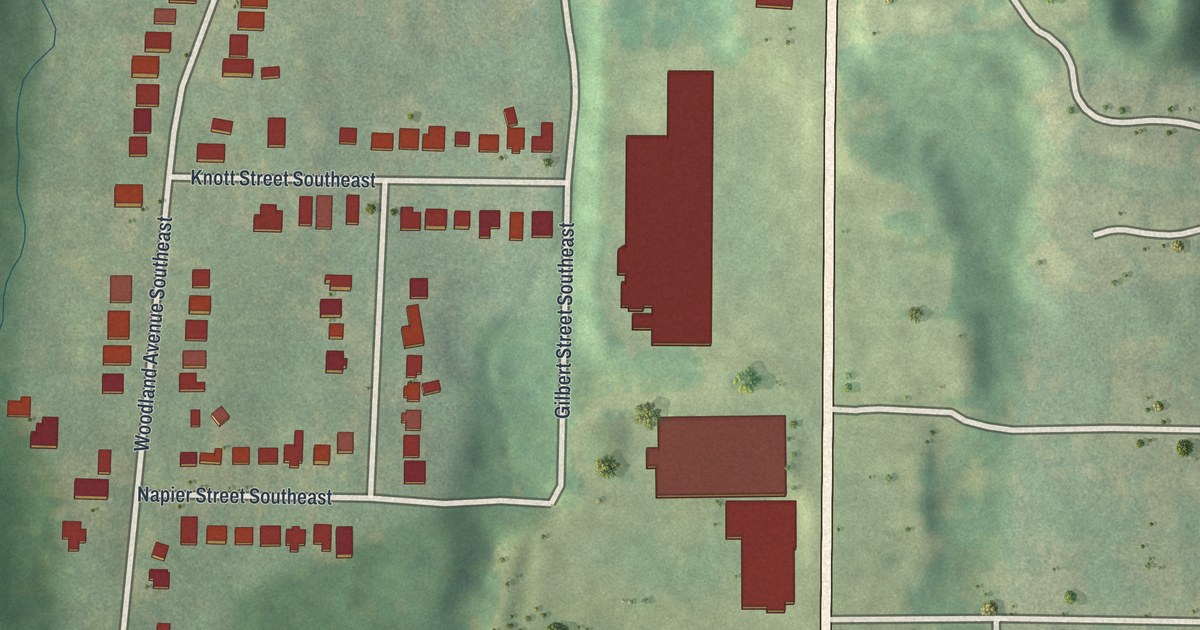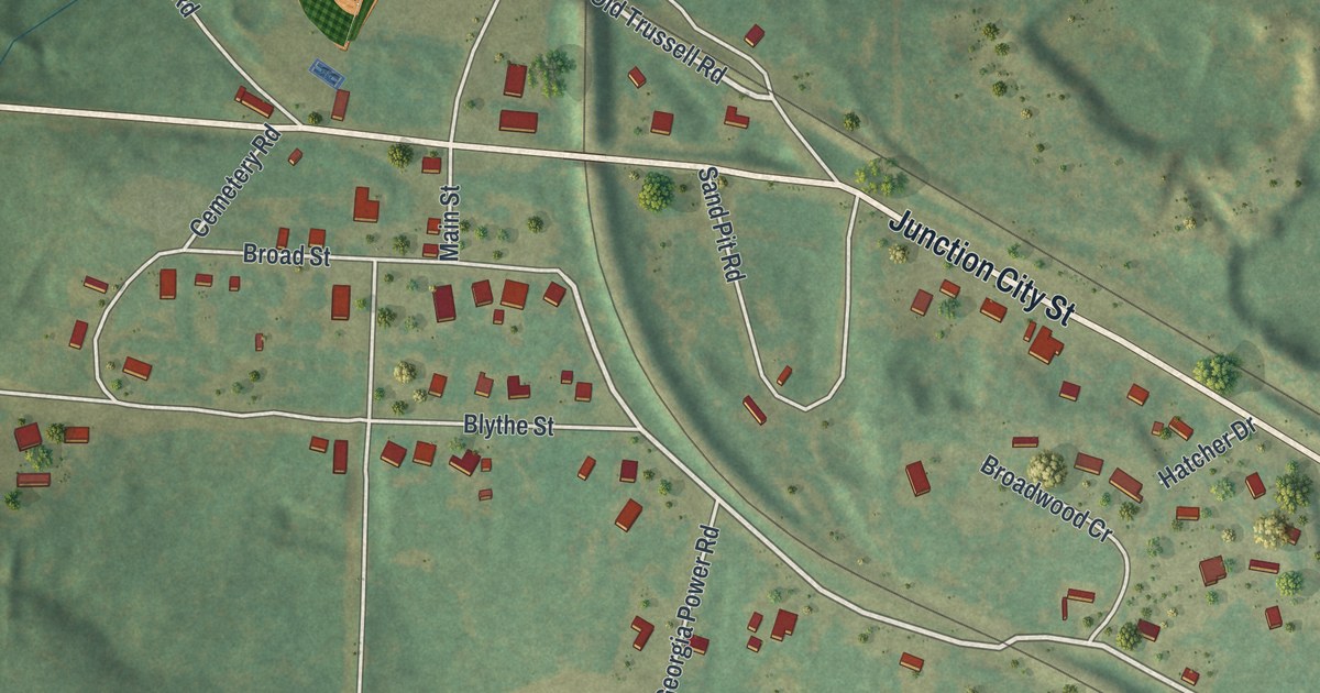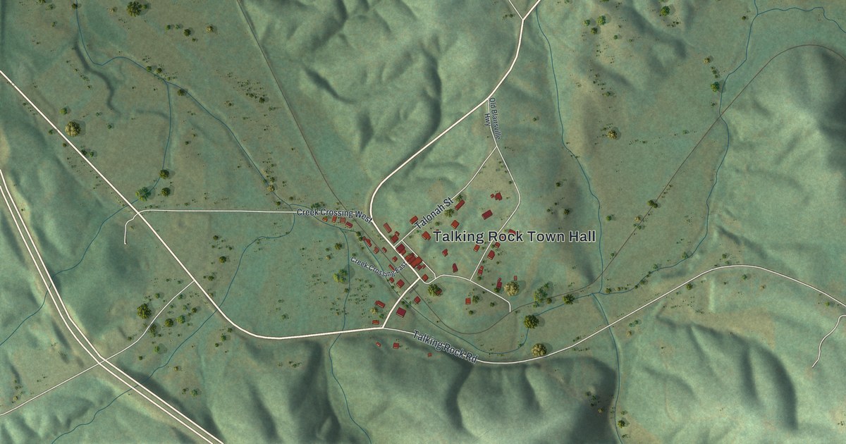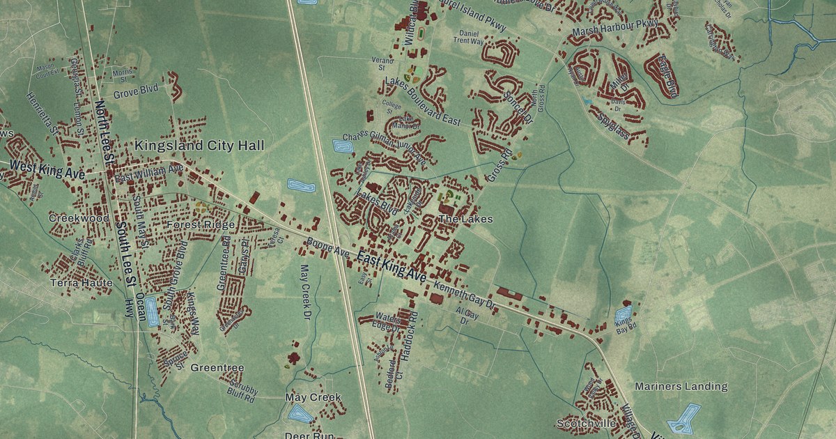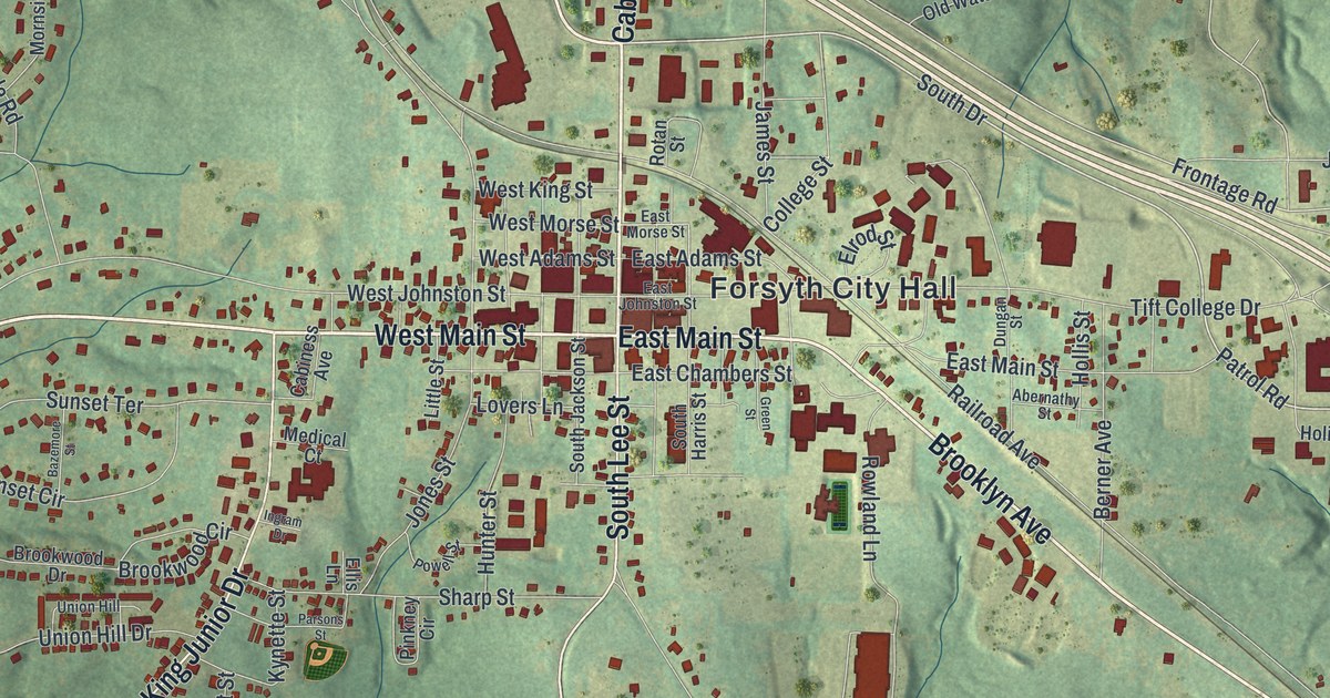
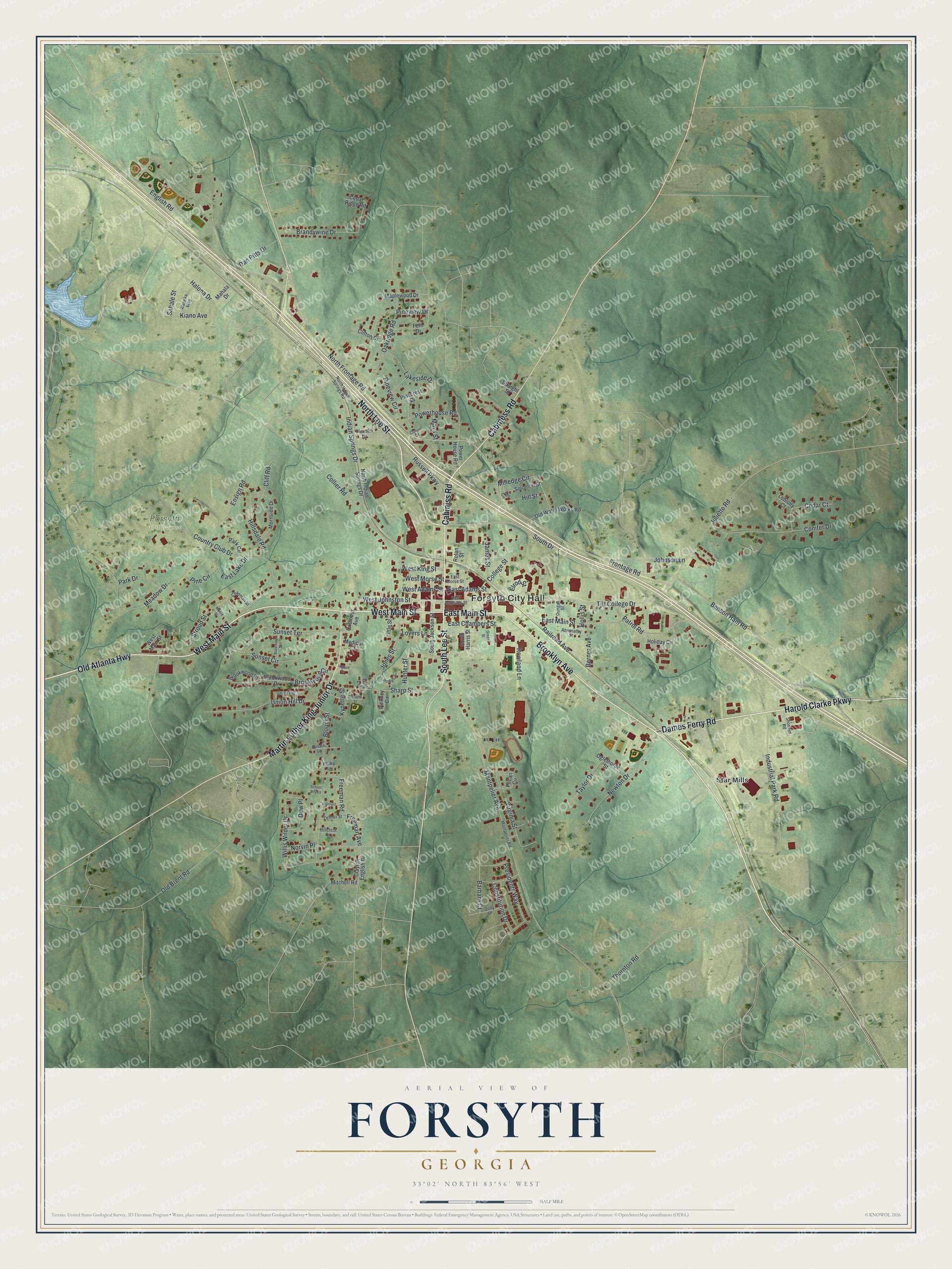
This beautifully detailed map of Forsyth, Georgia was created in 2026 using aerial imagery combined with modern topographical, census, street and landmark data. It’s a one-of-a-kind view of Forsyth that combines accurate data with a vintage aesthetic. The map shows every building in its true location, many of the roads carry their names, and the shaded topographic relief shows the shape of the land.
Explore an aerial view of Forsyth, Georgia
On the map you’ll find Forsyth City Hall and Star Mills, along with Main Street, Dames Ferry Road, Old Atlanta Highway, Lee Street, and more. If you look closely you can even find your house accurately drawn in its correct location. Zoom in on the preview to look for yours.
Did You Know?
Forsyth was named for John Forsyth, Secretary of State under Presidents Jackson and Van Buren. The town grew faster after the Monroe Railroad linked it to Macon in 1834. Local people raised half of the 200,000 dollars in stock for that line. That’s from the 1940 WPA guide to Georgia.
Take a closer look at the Forsyth map
Names on this map
These names are printed on this map.
Places: Forsyth City Hall, Forsyth Golf Course and Star Mills.
Streets and roads: West Main Street, Dames Ferry Road, Old Atlanta Highway, North Lee Street, Cabiniss Road, East Main Street, South Lee Street, Martin Luther King Junior Drive, Brooklyn Avenue, Cabiness Road, Harold Clarke Parkway, South Drive.
More street names, A to Z
Abernathy Street, Barbara Court, Bazemore Street, Benson Ham Road, Berner Avenue, Blount Street, Brandywine Drive, Brookwood Circle, Brookwood Drive, Brookwood Place, Brown Lane, Cabiness Avenue, Cedar Court, Cedar Ridge Road, Chapman Street, Clayton English Drive, Cliff Road, Clifton Drive, College Street, Collier Road, Colvin Drive, Conifer Drive, Constitution Drive, Country Club Drive, Dan Pitts Drive, Dew Place, Dolly Drive, Dungan Street, East Adams Street, East Chambers Street, East Johnston Street, East Lake Drive, East Morse Street, Ellis Lane, Elrod Street, English Road, Ensign Road, Fern Drive, Freeman Avenue, Freeman Road, Frontage Road, Green Street, Halona Drive, Harold Hl, Hill Circle, Hillcrest, Hillcrest Drive, Hillsdale Road, Hill Street, Holiday Circle, Hollis Street, Hunter Street, Indian Springs Drive, Industrial Park Road, Ingram Drive, James Street, Johnson Lane, Jones Street, Juliette Road, Kiano Avenue, Kynette Street, Lakeside Drive, Little Street, Loblolly Court, Lovers Lane, Mahala Drive, Maplewood Drive, Mays Street, Meadow Drive, Medical Court, Milledge Circle, Mitchell Road, Montpelier Avenue, Montpelier Road, Moore Street, Mornside Drive, Newton Drive, North Frontage Road, North Indian Springs Drive, North Indian Springs Road, Norvin Place, Oakridge Road, Oglethorpe Street, Old Brent Road, Old Water Works Road, Park Circle, Park Drive, Parsons Street, Patrol Road, Pecan Circle, Phillip Lane, Pine Circle, Pinecrest Drive, Pineview Circle, Pineview Drive, Pinkney Circle, Powell Street, Powerhouse Road, Power House Road, Presidents Way, Railroad Avenue, Rotan Street, Rowland Lane, Russell Parkway, Sahale Street, School Boy Lane, Sharp Street, Shoneys Road, Solomon Street, South Harris Street, South Jackson Street, Straight Street, Stroud Street, Sunset Circle, Sunset Terrace, Taylor Drive, Thornton Road, Tift College Drive, Union Hill, Union Hill Drive, Virginia Street, Wapeka Way, West Adams Street, West Johnston Street, West King Street, West Morse Street, Willis Wilder Drive, Zellner Street.
See it on a wall
The Forsyth map as a framed print. Swipe for more.


This beautifully detailed map of Forsyth makes an attractive addition to your office, library, or den, and it can even be used to teach children the geography and history of the area. It also makes a great gift for anyone with Forsyth roots. When you’re done exploring, click here to get your copy of the Forsyth map.