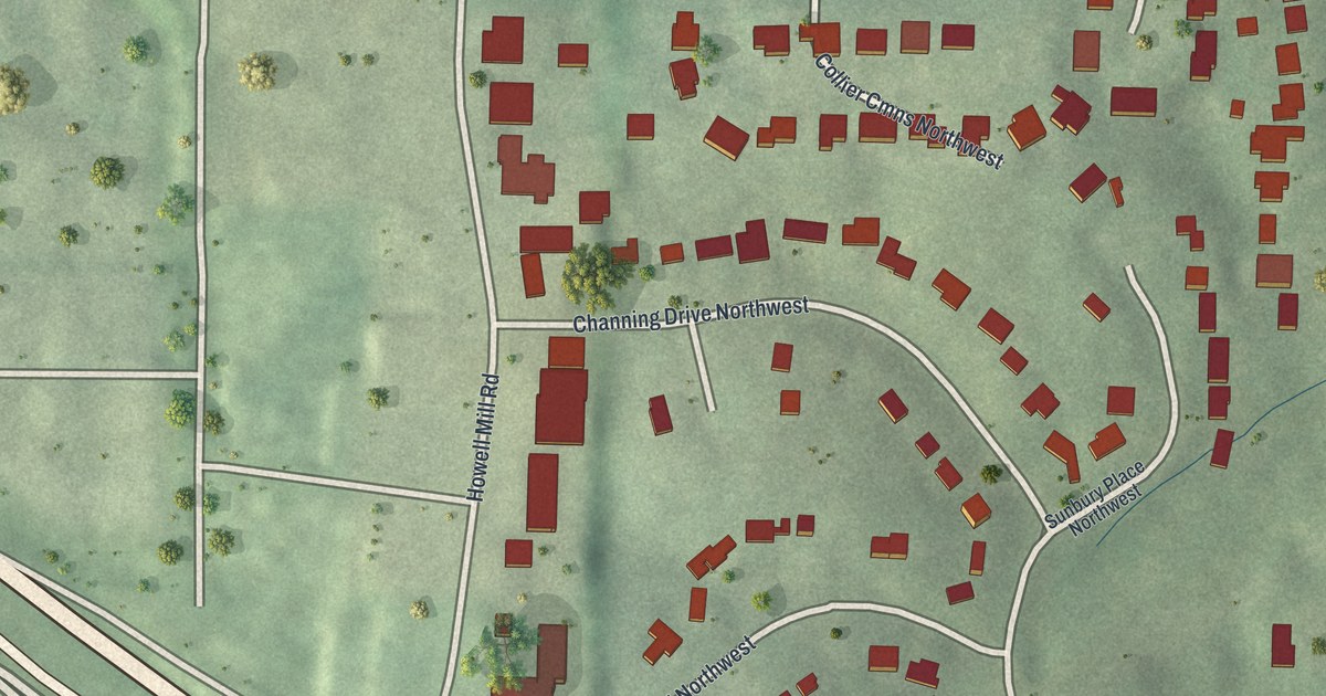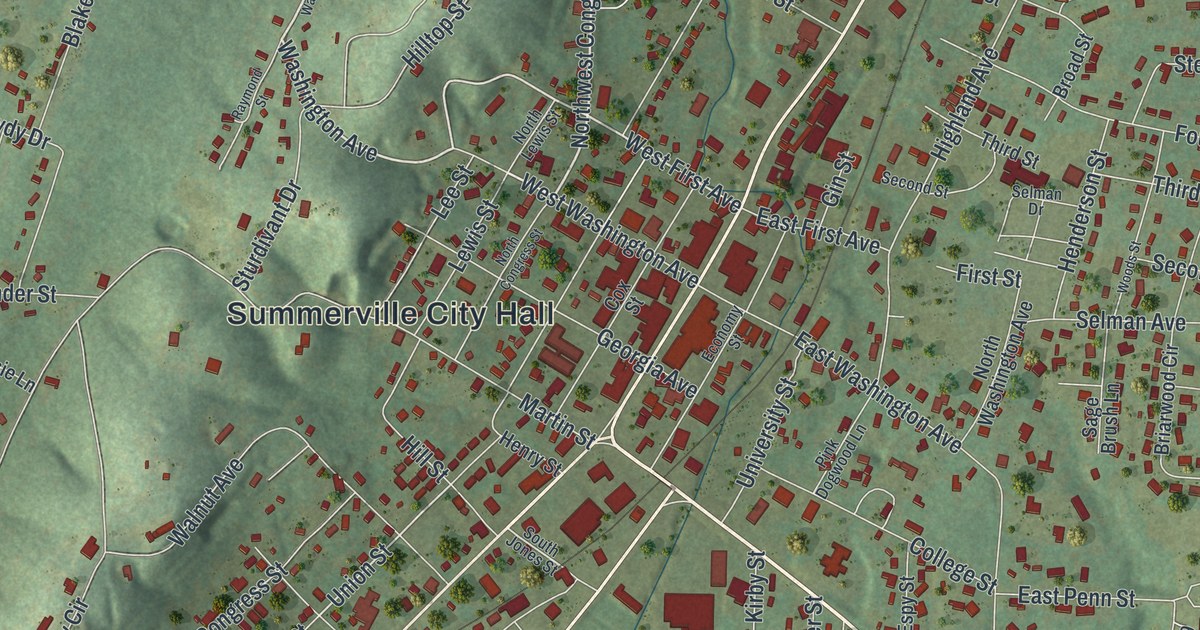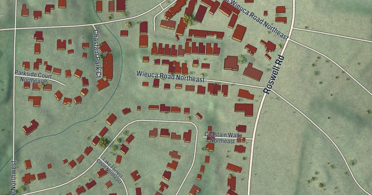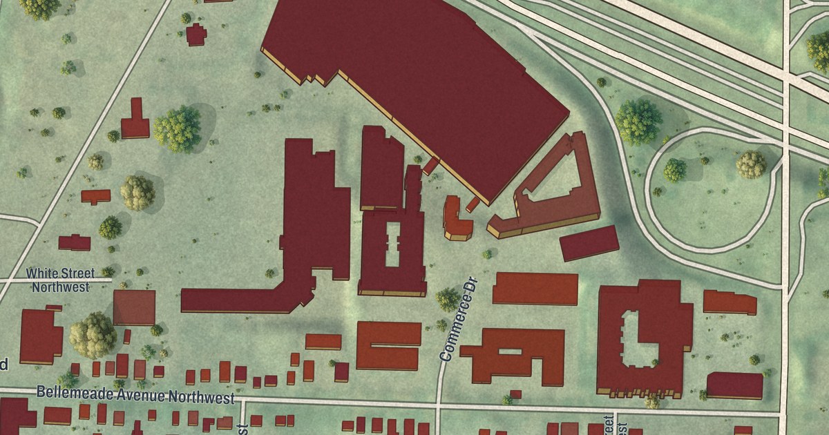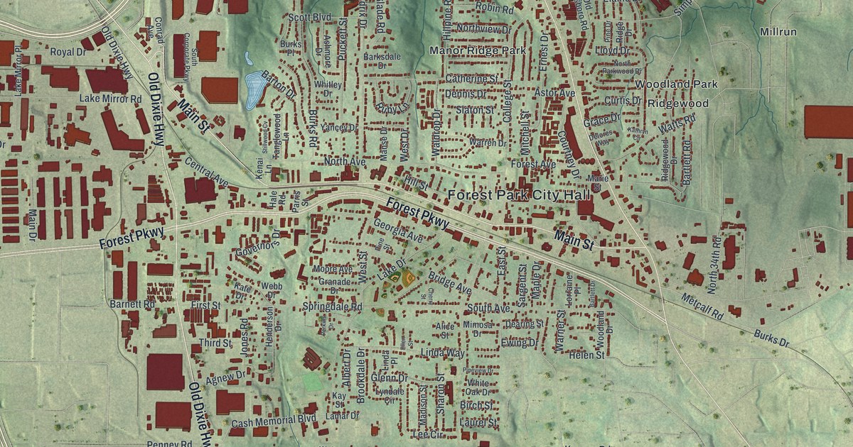
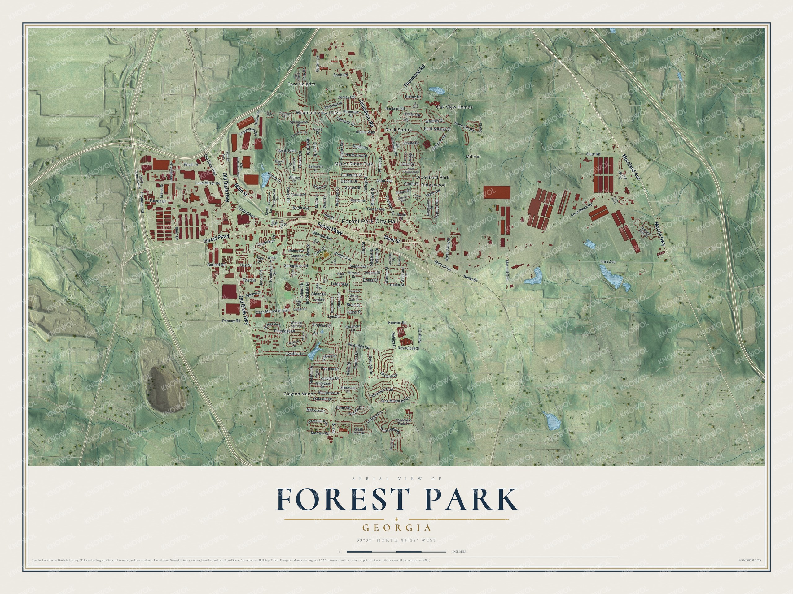
This beautifully detailed map of Forest Park, Georgia was created in 2026 using aerial imagery combined with modern topographical, census, street and landmark data. It’s a one-of-a-kind view of Forest Park that combines accurate data with a vintage aesthetic. The map shows every building in its true location, many of the roads carry their names, and the shaded topographic relief shows the shape of the land.
Explore an aerial view of Forest Park, Georgia
On the map you’ll find Forest Park City Hall, Manor Ridge Park, Millrun, Mountain View Plaza, Ridgewood, and Rock Spring, along with Macon Highway, Moreland Avenue, Main Street, Forest Parkway, and more. If you look closely you can even find your house accurately drawn in its correct location. Zoom in on the preview to look for yours.
Did You Know?
Forest Park began in the early to mid-1800s as a wood and water stop on the railroad. In those years it was called Stump Town. Trees were cut to fuel trains bound to and from Atlanta, leaving many stumps. The city was incorporated in 1908 and named for the parklike setting of its first town site.
Take a closer look at the Forest Park map
Names on this map
These names are printed on this map.
Places: Forest Park City Hall, Clayton Manor, Manor Ridge Park, Millrun, Mountain View Plaza, Oak View Homes, Ridgewood, Rock Spring, Tara Heights and Woodland Park.
Streets and roads: Macon Highway, Moreland Avenue, Main Street, Forest Parkway, Jonesboro Road, Old Dixie Highway, Thurmond Road, Watts Road, Metcalf Road, Anvil Block Road, Ash Street, Park Avenue.
More street names, A to Z
Agnew Drive, Albert Drive, Alder Drive, Alice Street, Alpine Way, Ashmore Drive, Astor Avenue, Ballard Road, Barksdale Drive, Barnett Road, Bartlett Drive, Bartlett Road, Barton Drive, Birch Street, Blueridge Drive, Boling Drive, Braves Drive, Bridge Avenue, Brookdale Drive, Brookwood Drive, Burks Drive, Burks Place, Burks Road, Callaway Drive, Cascade Drive, Cash Memorial Boulevard, Catherine Street, Central Avenue, Cherry Street, College Street, Cone Road, Conley Road, Conrad Avenue, Courtney Drive, Currie Drive, Curtis Drive, Cynthia Lane, Cypress Drive, Dearing Street, Delores Way, Dennis Drive, Dorsey Drive, East Street, Elaine Drive, Ellen Street, Ernest Drive, Ervin Circle, Evelyn Drive, Evergreen Terrace, Ewing Drive, Falcon Drive, Fallview Drive, First Street, Forest Avenue, Forest Hill Path, Frontage Road, Georgia Avenue, Glade Road, Glenn Drive, Governors Drive, Grace Drive, Granade Drive, Greenhill Way, Hale Road, Helen Street, Henderson Drive, Hendrix Drive, Hillpine Road, Hill Street, Holland Park Drive, Iowa Drive, Jones Road, Joyce Drive, Kate Drive, Kathryn Circle, Kay Street, Kenai Lane, Kennesaw Drive, Kenyon Road, Lake Drive, Lake Mirror Place, Lake Mirror Road, Lamar Drive, Laurel Street, Lee Circle, Lila Street, Linda Place, Linda Way, Lloyd Drive, Longleaf Drive, Lorraine Place, Lyndale Circle, Madison Street, Main Drive, Manse Drive, Maple Drive, Marie Street, Melrose Drive, Metcalf Con, Mimosa Drive, Mitchell Street, Moore Avenue, Moriah Lane, Morrow Road, Murray Drive, Needle Drive, North 34th Road, North Avenue, North Parkwood Drive, Northview Drive, O'Hara Road, Oakdale Drive, Oak Lane, Old Jonesboro Road, Parris Street, Patricia Drive, Penney Road, Perkins Drive, Phillips Drive, Pinecreek Road, Pine Drive, Pine Mountain Drive, Pineridge Drive, Pineridge Road, Pine Street, Pineview Drive, Ponderosa Park Drive, Puckett Street, Reynolds Road, Ridge Drive, Ridgewood Drive, Robin Road, Rockcut Road, Rock Cut Road, Rock Springs Street, Royal Drive, Ruby Lane, Ruskin Drive, Sargent Street, Scott Boulevard, Scott Road, Sequoia Drive, Sharon Street, Shellnut Drive, Sherwood Circle, Shortleaf Drive, Simpson Road, Sirocco Court, Skyland Drive, Slash Pine Drive, Slate Road, Slaton Street, South Avenue, South Corporate Parkway, South Expressway, South First Street, Southpoint Drive, Springdale Road, Springside Drive, Springwood Drive, Stillwood Cv, Sycamore Circle, Tamarack Trail, Tanglewood Lane, Tara Drive, Third Street, Valleyview Drive, Virginia Circle, Waldrop Drive, Warner Street, Warren Drive, Watson Ferry Drive, Waverly Drive, Webb Drive, West Drive, West Street, White Drive, White Oak Drive, Whitley Drive, Woodland Drive, Yancey Drive.
See it on a wall
The Forest Park map as a framed print. Swipe for more.


This beautifully detailed map of Forest Park makes an attractive addition to your office, library, or den, and it can even be used to teach children the geography and history of the area. It also makes a great gift for someone who left Forest Park and still calls it home. When you’re done exploring, click here to get your copy of the Forest Park map.