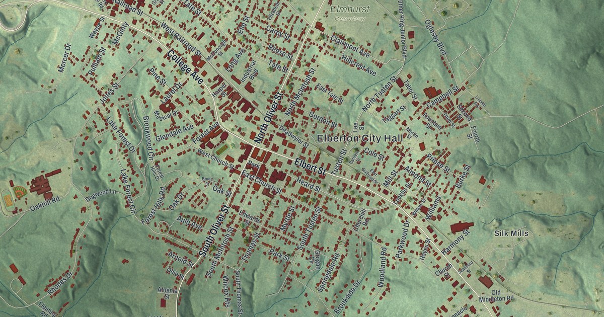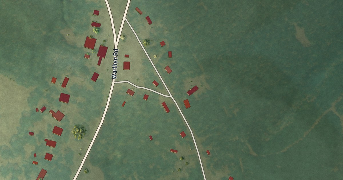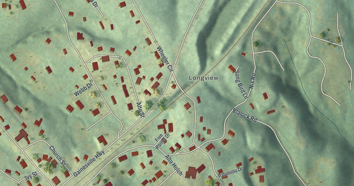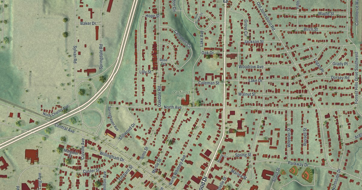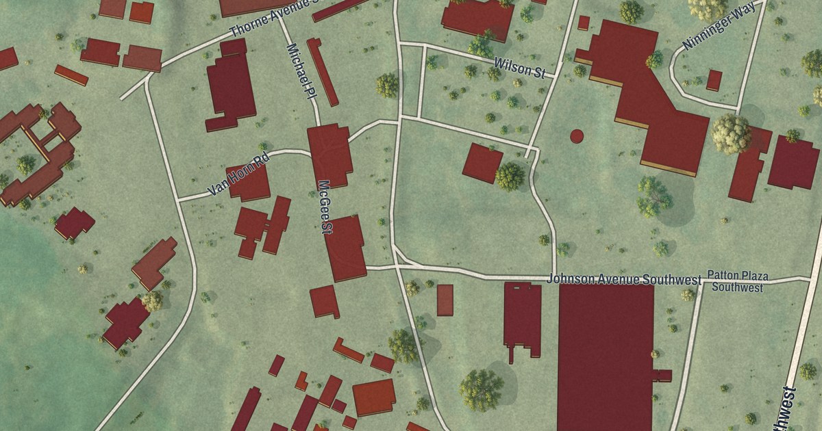
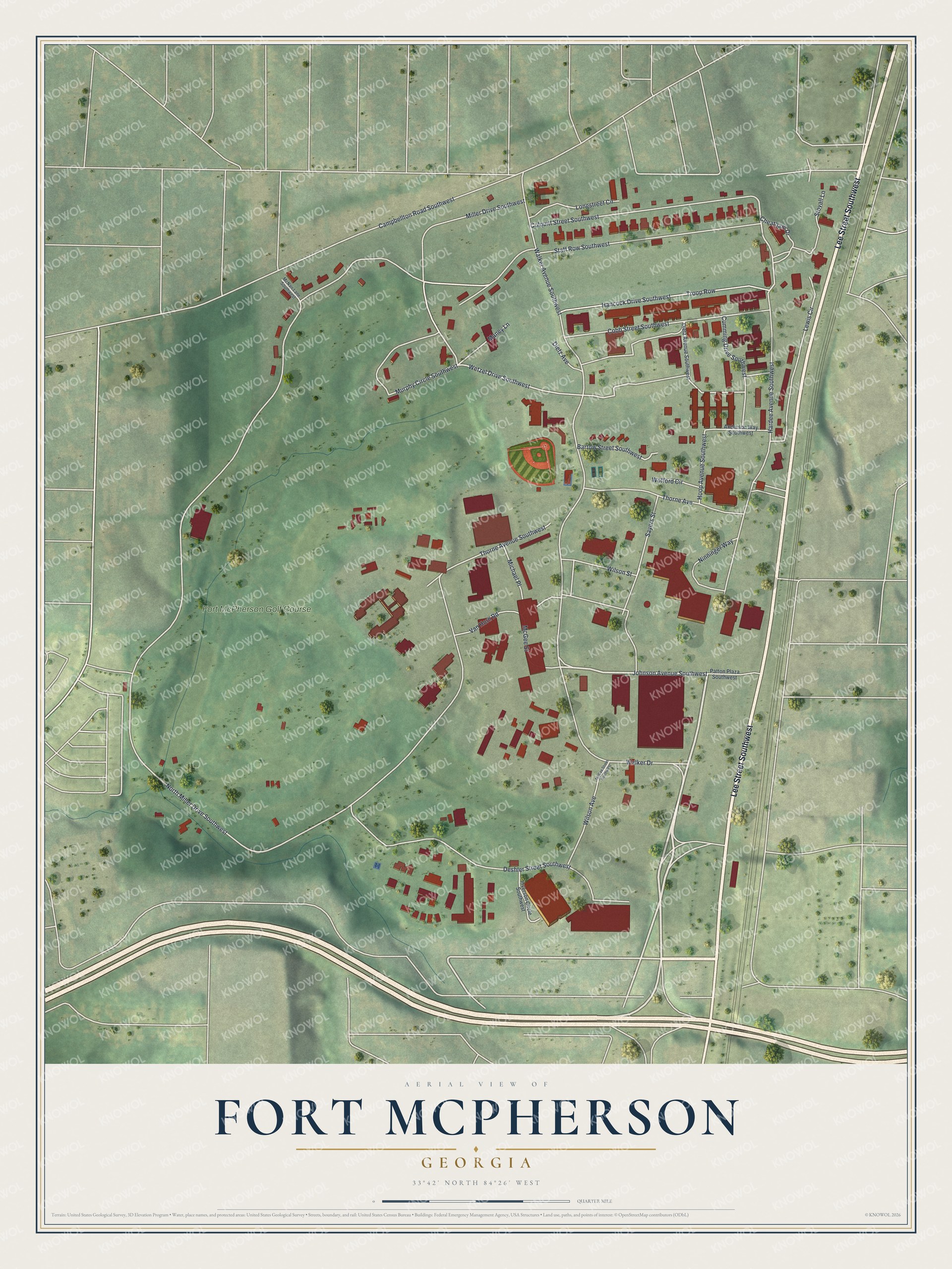
This beautifully detailed map of Fort McPherson, Georgia was created in 2026 using aerial imagery combined with modern topographical, census, street and landmark data. It’s a one-of-a-kind view of Fort McPherson that combines accurate data with a vintage aesthetic. The map shows every building in its true location, many of the roads carry their names, and the shaded topographic relief shows the shape of the land.
Explore an aerial view of Fort McPherson, Georgia
On the map you’ll find Lee Street, Hardee Avenue, Johnson Avenue, North Miller Drive, Wetzel Drive, and more. If you look closely you can even find your house accurately drawn in its correct location. Zoom in on the preview to look for yours.
Did You Know?
Fort McPherson honored Major General James Birdseye McPherson. In 1864 he led one of the three armies under General William T. Sherman. He was killed while scouting during the Battle of Atlanta that summer. The Army bought five tracts of land for the new post in September 1885.
Take a closer look at the Fort McPherson map
Names on this map
These names are printed on this map.
Places: Fort McPherson Golf Course.
Streets and roads: Lee Street Southwest, Hardee Avenue Southwest, Johnson Avenue Southwest, North Miller Drive Southwest, Wetzel Drive Southwest, Miller Drive Southwest, Deshler Street Southwest, Walker Drive, Murphy Circle Southwest, Walker Avenue Southwest, Campbellton Road Southwest, Colquitt Street Southwest.
More street names, A to Z
Anderson Way Southwest, Bartow Street Southwest, Cheatham Drive, Cobb Street Southwest, Cumming Drive Southwest, Dietz Avenue, Dietz Avenue Southwest, Hancock Drive Southwest, Hoop Avenue Southwest, Inverson Circle Southwest, Lewis Circle, Longstreet Circle, Maney Lane, McGee Street, McGee Street Southwest, McNair Lane Southwest, Michael Place, Ninninger Way, Patton Plaza Southwest, Sayers Street, Staff Row Southwest, Stovall Lane, Thorne Avenue, Thorne Avenue Southwest, Troop Row, Van Horn Road, Wilson Avenue, Wilson Street, Wofford Circle.
See it on a wall
The Fort McPherson map as a framed print. Swipe for more.


This beautifully detailed map of Fort McPherson makes an attractive addition to your office, library, or den, and it can even be used to teach children the geography and history of the area. It also makes a great gift for anyone with Fort McPherson roots. When you’re done exploring, click here to get your copy of the Fort McPherson map.