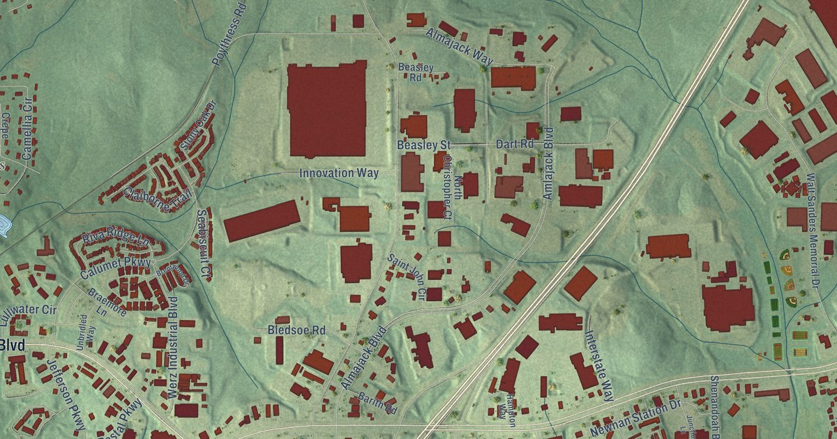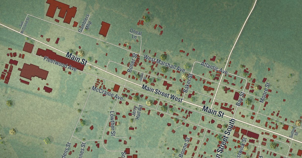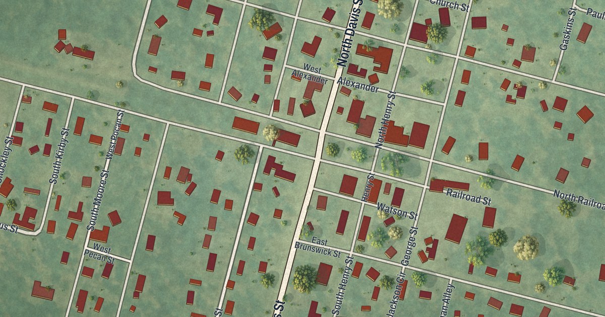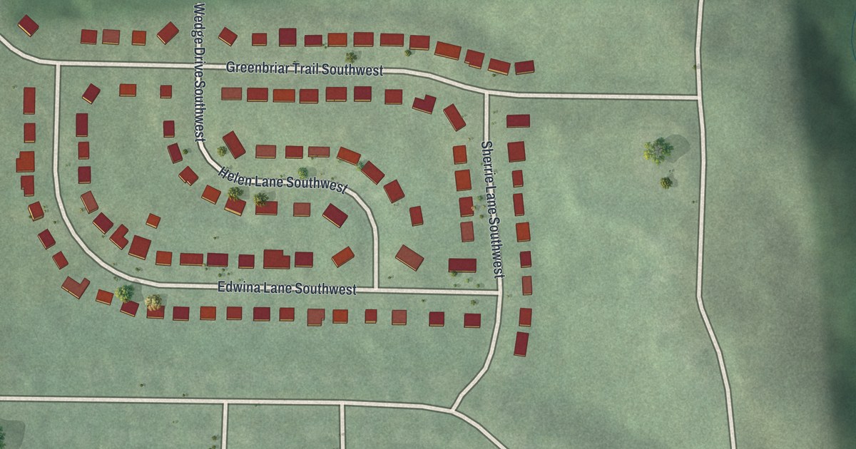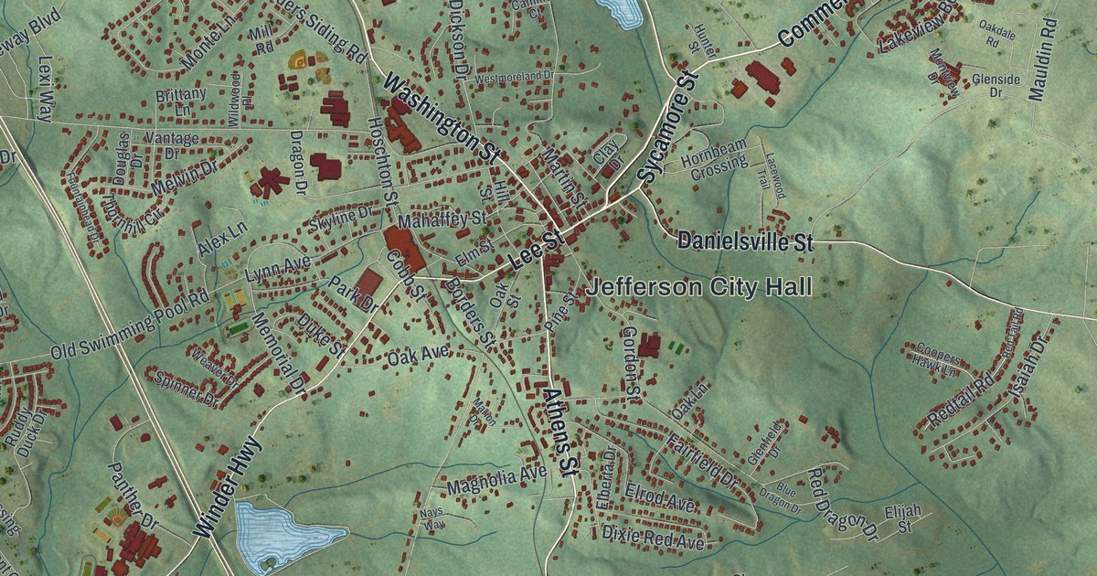
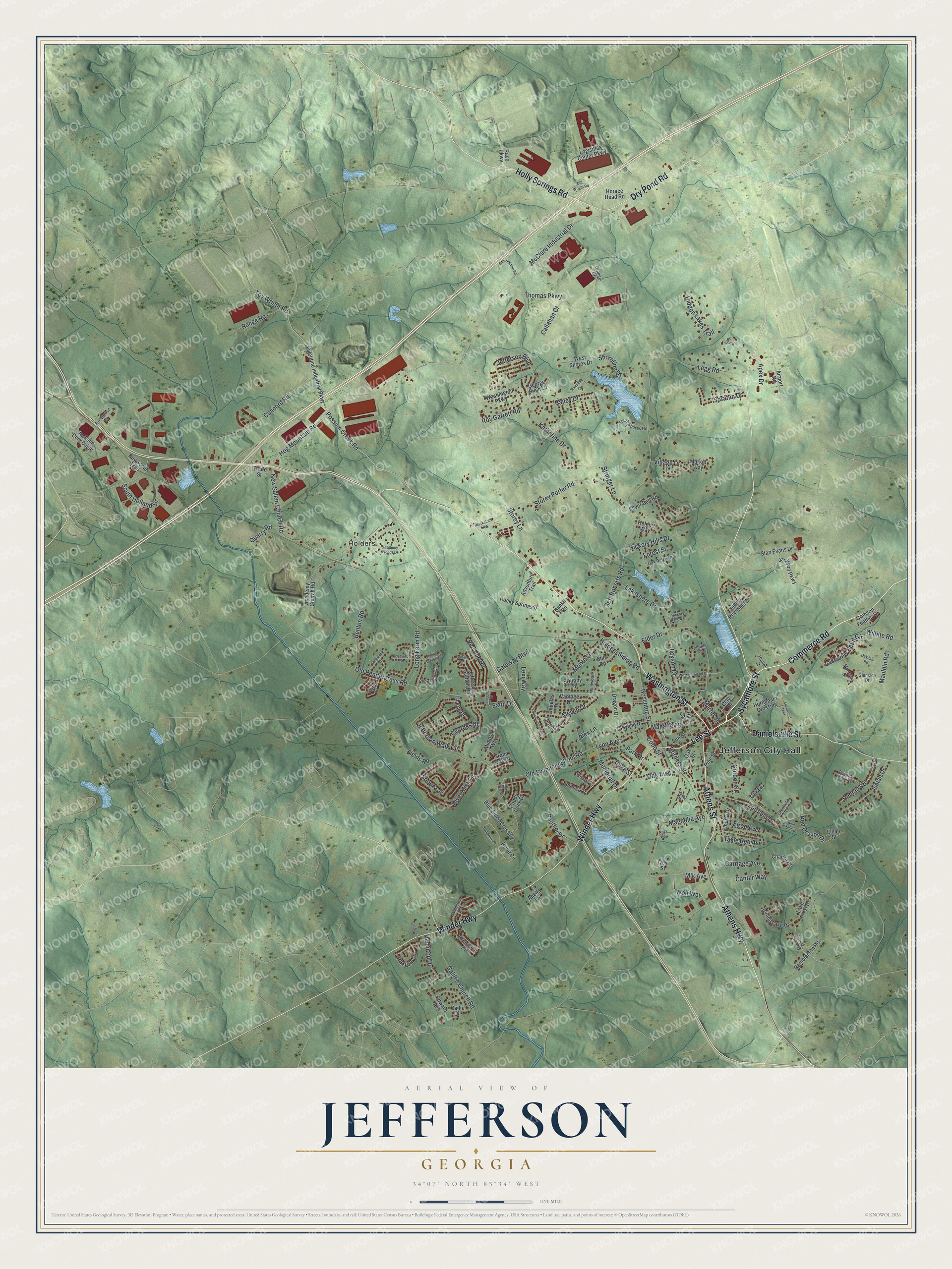
This beautifully detailed map of Jefferson, Georgia was created in 2026 using aerial imagery combined with modern topographical, census, street and landmark data. It’s a one-of-a-kind view of Jefferson that combines accurate data with a vintage aesthetic. The map shows every building in its true location, many of the roads carry their names, and the shaded topographic relief shows the shape of the land.
Explore an aerial view of Jefferson, Georgia
On the map you’ll find Jefferson City Hall and Holders, along with Washington Street, Commerce Road, Sycamore Street, Dry Pond Road, and more. If you look closely you can even find your house accurately drawn in its correct location. Zoom in on the preview to look for yours.
Did You Know?
Jefferson was founded in 1800 and took its name from Thomas Jefferson. In its first year, Jackson County moved its seat here from Clarkesboro. The settlement became a town in 1806 and a city in 1896.
Take a closer look at the Jefferson map
Names on this map
These names are printed on this map.
Places: Jefferson City Hall and Holders.
Streets and roads: Washington Street, Commerce Road, Sycamore Street, Dry Pond Road, Athens Highway, Holly Springs Road, Lee Street, Danielsville Street, Winder Highway, Athens Street, Possum Creek Road, Hog Mountain Road.
More street names, A to Z
Academy Church Road, Academy Woods Drive, Adella Lane, Adventure Trail, Airport Road, Alex Lane, Apex Drive, Bailey Drive, Banks Road, Benton Road, Bill Wright Road, Blackstock Road, Blue Billed Crossing, Blue Dragon Drive, Borders Street, Boy Scout Trail, Brant Circle, Briarcrest Drive, Brittany Lane, Callahan Court, Callie Circle, Camille Court, Canter Way, Carriage Avenue, Chariot Court, Clay Drive, Cobb Street, Concord Road, Coopers Hawk Lane, Crimson Feather Drive, Cypress Drive, Dickson Drive, Dixie Red Avenue, Douglas Drive, Dragon Drive, Duke Street, Edward Avenue, Elberta Drive, Elder Drive, Elijah Street, Elm Street, Elrod Avenue, Enterprise Drive, Fairfield Drive, Faith Drive, Fields Road, Forest Street, Fountainhead Drive, Galilee Church Road, Galilee Lane, Gateway Boulevard, George Bush Lane, Glenfield Drive, Glenside Drive, Gordon Street, Grand Oak Drive, Greystone Drive, Hamilton Drive, Helene Way, Hickory Hills Drive, Hickory Hollow Drive, Hidden Lakes Trail, Hill Street, Holders Siding Road, Horace Head Road, Hornbeam Crossing, Hoschton Street, Hunter Street, Indian Springs Drive, Isaiah Drive, Ivey Street, Jackson Concourse, Jackson Parkway, Jameston Drive, Jefferson Boulevard, Jefferson Station Road, Jefferson Walk Circle, Jett Roberts Road, Jimmy Reynolds Drive, Katherine Drive, Lacewood Trail, Lake Court, Lake Crest Drive, Lakeshore Drive, Lakeview Bend Circle, Lantern Drive, Legg Road, Lexi Way, Liberty Drive, Loggins Drive, Logisitics Center Parkway, Long Farm Road, Lynn Avenue, Magnolia Avenue, Mahaffey Street, Marion Drive, Market Way, Martin Street, Mauldin Road, McClure Industrial Drive, Melvin Drive, Memorial Drive, Mill Road, Mimosa Way, Mlk Avenue, Monte Lane, Montview Drive, Nays Way, New Salem Church Road, Oak Avenue, Oakdale Road, Oak Lane, Oak Ridge Drive, Oak Street, Old Pendergrass Road, Old Swimming Pool Road, Orange Court, Otis Holman Road, Panther Drive, Park Drive, Paxton Lane, Pine Street, Porter Place, Quarry Road, Raco Parkway, Rambler Inn Road, Range Road, Red Bud Road, Red Dragon Drive, Redtail Road, Red Tail Road, River Mist Circle, Rocky Springs Drive, Rosewood Circle, Roy Garrett Road, Ruddy Duck Drive, Sandhill Lane, Shoreline Court, Shoreline Drive, Silver Bell Road, Skyline Drive, Soque Circle, South Holland Drive, South Shores Road, Spinner Drive, Spratlin Drive, Springbrook Court, Stan Evans Drive, Sterling Lake Drive, Sterling Lake Way, Storey Lane, Storey Porter Road, Stringer Lane, Thomas Parkway, Thornhill Circle, Toy Wright Road, Trade Street, Valentine Industrial Parkway, Vantage Drive, Village Drive, Washington Parkway, Weaver Drive, Westmoreland Drive, West Shores Drive, Widgeon Way, Wildwood Place, Wilhite Road, Wolf Way.
See it on a wall
The Jefferson map as a framed print. Swipe for more.


This beautifully detailed map of Jefferson makes an attractive addition to your office, library, or den, and it can even be used to teach children the geography and history of the area. It also makes a great gift for anyone who grew up in Jefferson or moved away. When you’re done exploring, click here to get your copy of the Jefferson map.