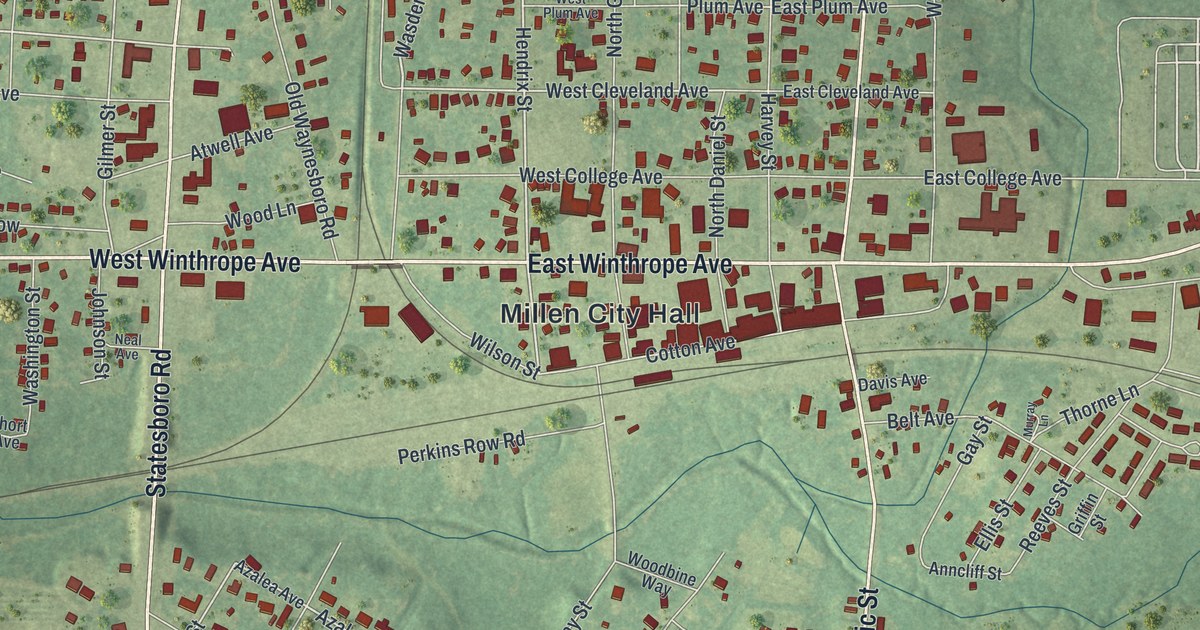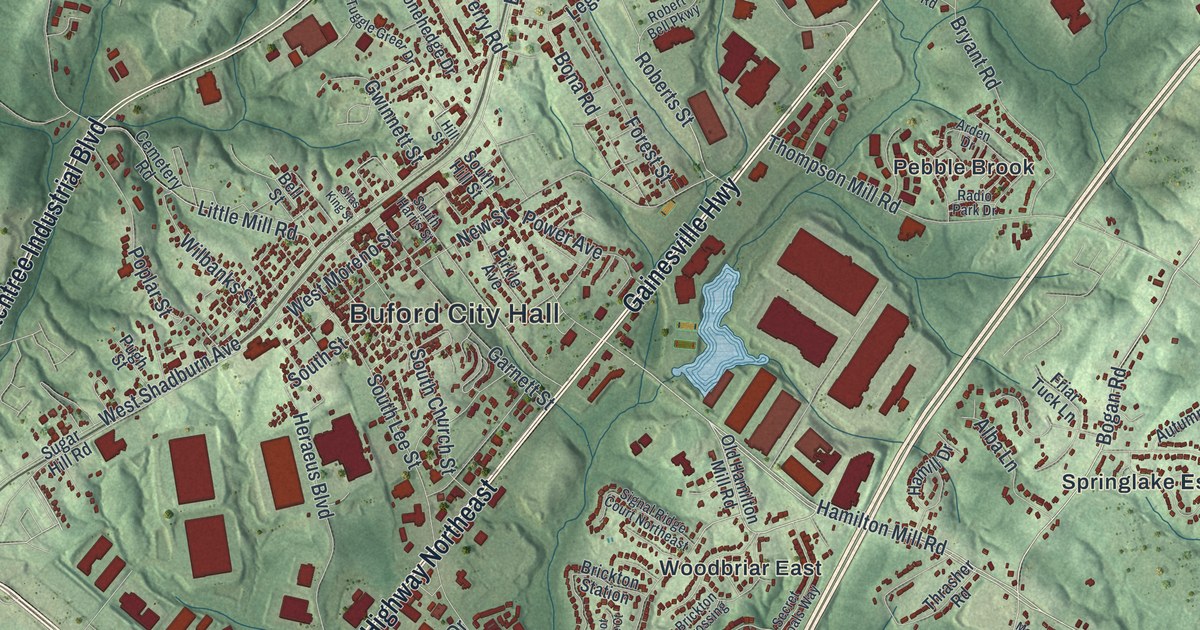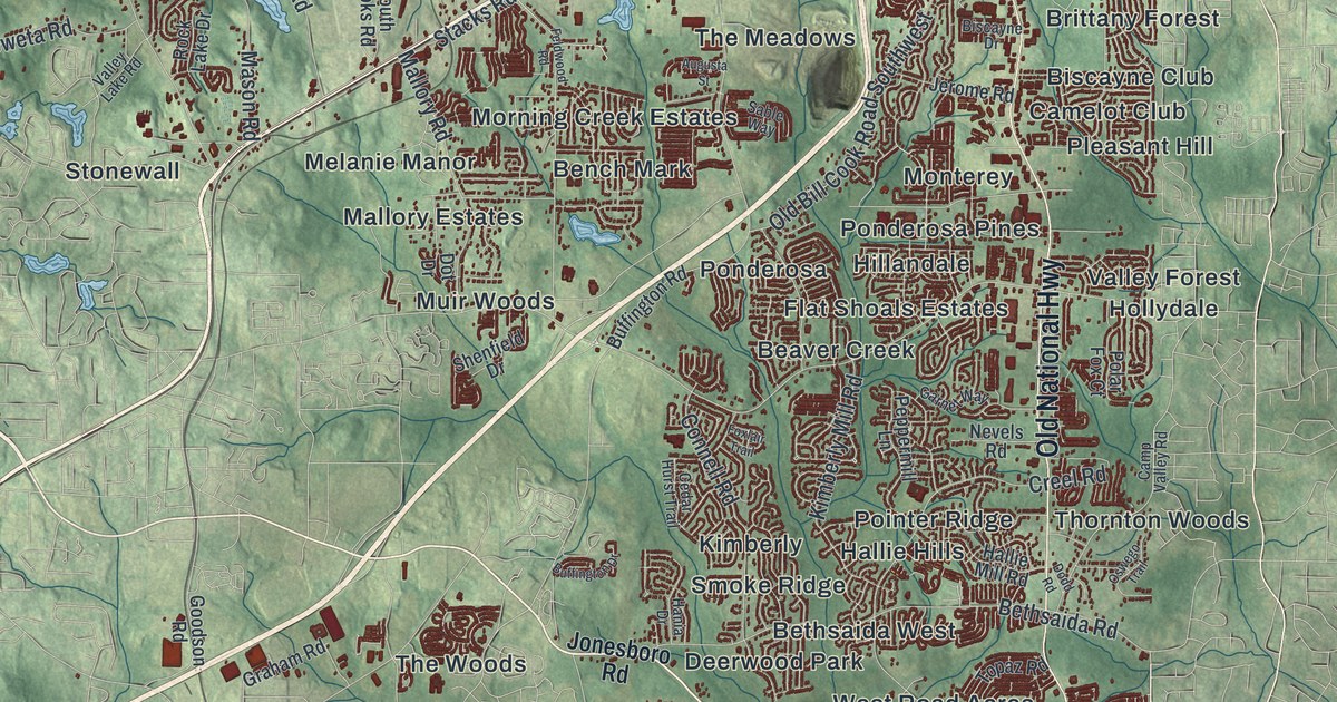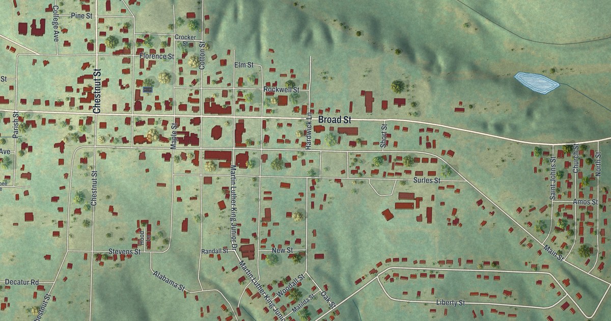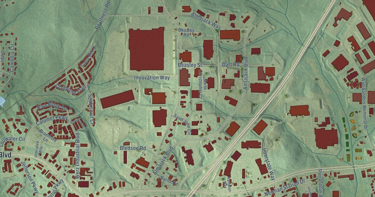
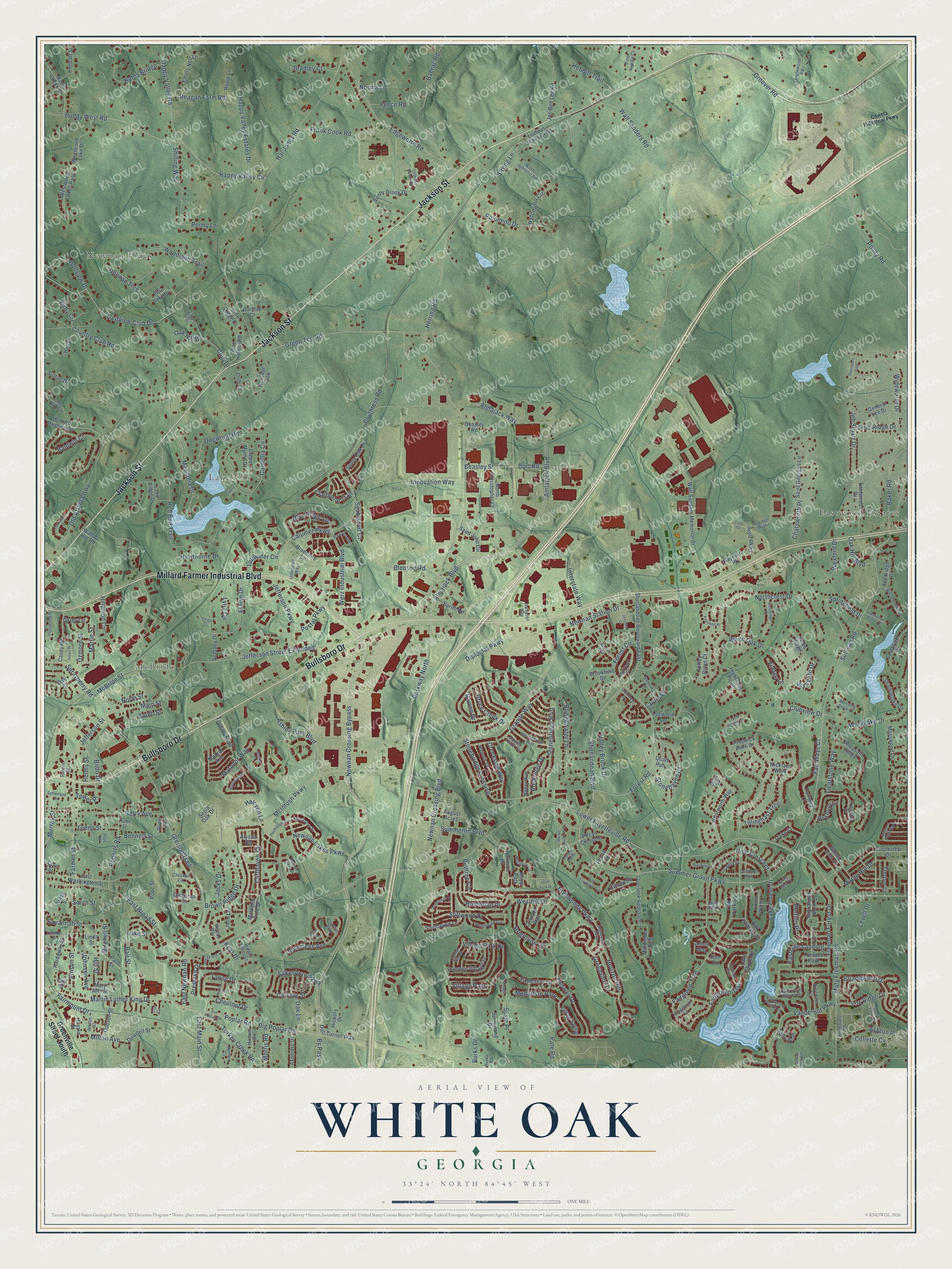
This beautifully detailed map of White Oak, Georgia was created in 2026 using aerial imagery combined with modern topographical, census, street and landmark data. It’s a one-of-a-kind view of White Oak that combines accurate data with a vintage aesthetic. The map shows every building in its true location, many of the roads carry their names, and the shaded topographic relief shows the shape of the land.
Explore an aerial view of White Oak, Georgia
On the map you’ll find Newnan Pines, McBride, Lakehills, and Eastwood Estates, along with Jackson Street, Bullsboro Drive, Millard Farmer Industrial Boulevard, Sullivan Road, Fairmount Drive, Milton Avenue, Cliffhaven Circle, Magnolia Drive, and more. If you look closely you can even find your house accurately drawn in its correct location. Zoom in on the preview to look for yours.
Did You Know?
From Internet Archive: "For quite a number of years he preached to Bethlehem, Mount Lebanon and White Oak Grove churches, in Coweta county, and at Bethel church, in Heard county, Georgia."
White Oak is a community in Coweta County.
Take a closer look at the White Oak map
Names on this map
These names are printed on this map.
Places: Newnan Pines, McBride, Lakehills, Eastwood Estates, Medallion Park, Terrace Park and Hood Park.
Streets and roads: Jackson Street, Bullsboro Drive, Millard Farmer Industrial Boulevard, Sullivan Road, Fairmount Drive, Milton Avenue, Cliffhaven Circle, Magnolia Drive, Martin Luther King Drive, Lower Fayetteville Road, Old Atlanta Highway, Summer Grove Parkway.
More street names, A to Z
Almajack Boulevard, Almajack Way, Alyssa Road, Amlajack Boulevard, Anthony Drive, Arbor Way, Arran Court, Ashley Park Boulevard, Ashmore Drive, Ashton Place, Ashville Place, Audubon Place, August Acres, Avondale Circle, Babrac Road, Baker Road, Baldwin Court, Ball Street, Barberry Drive, Barcelona Street, Barclay Court, Barith Road, Baynard Pk, Beacon Crst, Beasley Road, Beasley Street, Belltree Circle, Belmont Circle, Bennett Street, Berry Avenue, Big Poplar Road, Bilbo Drive, Bledsoe Road, Blue Ridge Drive, Bradley Court, Braemore Lane, Brentwood Drive, Briandwood Drive, Briar Grove, Bridgewater Lane, Brightling Lane, Brookfield Drive, Brookmere, Brookview Drive, Brown Ridge Drive, Bryce Creek Drive, Buddy West Road, Burke Road, Burks Drive, By Pass, Cade Court, Calhoun Street, Calumet Parkway, Camden Village, Camden Village Drive, Camellia Circle, Cameron Circle, Carlisle Street, Casey Road, Cedar Court, Chastain Circle, Chatsworth Place, Cherry Lane, Chestnut Drive, Claiborne Trail, Cliff Circle, Club Court, Club Drive, Clubview Drive, Cole Street, Collette Cv, Columns Way, Cottage Lane, Country Club Road, Courtyard Drive, Coweta Industrial Parkway, Creekside Way, Crepe Myrtle Drive, Crimson Way, Crossbrook Drive, Dart Road, Deerwood Farms Drive, Diplomat Parkway, Doc Turner Way, Dodson Street, Dogwood Road, Donnan Trce, Dowdell Street, East Broad Street, Eastlake Landing, East Main Street, East Newnan Road, East Washington Street, Eastwood Drive, Edgeworth Road, Elaine Drive, Emery Nell Lane, Fairgreen Trail, Fairgreen Trce, Fairway Court, Fairway Drive, Fair Ways Court, Farmer Street, Fawn Ridge, Fence Road, Fieldstone Way, Forest Circle, Forest Point, Forest Road, Fox Ridge Drive, Frank Cook Road, Frank Street, Freeman Forest Drive, Gables Way, Garden Walk, Gay Street, General Lee Drive, Glenn Street, Glenridge Drive, Golfview Club Drive, Golfview Drive, Granite Way, Green Park Way, Green Spring, Green Top Road, Greentree Drive, Greenview Drive, Greenville Street South, Greison Trail, Grier Lane, Groover Road, Halcyon Lane, Hal Jones Road, Hall Drive, Hampton Way, Happy Valley Circle, Happy Valley Estates Drive, Happy Valley Road, Hardaway Street, Harrison Drive, Hawthorne Drive, Haynie Street, Helms Street, Heritage Trce, Herring Road, Hickory Drive, Hidden Lakes Court, Hidden Woods Lane, Highlands Point, High Point North Drive, Highwood Parkway, Highwoods Parkway, Hill Street, Hillwood Circle, Hobbitt Trail, Hollz Parkway, Horizon Hill, Howard Hughes Road, Hunterian Place, Huron Street, Innovation Way, Interstate Way, Inverness Avenue, Jacks Drive, Jane Lane, Jeb Stuart Drive, Jefferson Parkway, Jefferson Street, Jefferson Street Extended, Joe Ben Lee Road, Johnson Avenue, Jones Street, Jordan Street, Julies Place, Junction Lane, Kates Bridge, Kendall Street, Kent Drive, Kirby Circle, Lake Cove Approach, Lake Forest Drive, Lakemont Drive, Lake Ridge Drive, Lake Shore Drive, Lakeshore Parkway, Lakeside Way, Lake Street, Laurel Drive, Levell Drive, Linda Street, Lindsey Barron Drive, Links Court, Lismore Way, Logwood Lane, Lucious Johnson Road, Lullwater Circle, Lynn Circle, Macalester Drive, Madrid Avenue, Main Street, Majestic Drive, Malcolm Cole Drive, Maple Creek Drive, Maple Hill Drive, Market Square Way, Martin Street, Mary Ann Street, Mary Freeman Road, Matador Way, McBride Street, McIntosh Parkway, Michael Drive, Middleton Trce, Mitchell Street, Morning Dove Lane, Morris Road, Mosswood Drive, Murray Street, Neely Run, Newnan Crossing Boulevard, Newnan Crossing Bypass, Newnan Lakes Drive, Newnan Lakes Parkway, Newnan Station Drive, Nicklaus Walk, Norma Lane, North Christopher Court, Northcrest Drive, North Street, Oak Hill Boulevard, Oak Hill Drive, Oak Lane, Oak Park Square, Oak Point, Oak Shores Drive, Oak Street, Old Poplar Road, Overlook Approach, Ozmore Street, Palomino Circle, Palomino Drive, Parkway North, Pate Road, Paul Street, Pecan Crescent, Pecan Trce, Penny Lane, Pheasant Ridge, Pine Crescent, Pinehaven Drive, Pine Hollow Road, Pine Lake Drive, Pine Needle Court, Pine Ridge Drive, Pinson Street, Pitts Place, Pope Lane, Pope Street, Poplar Road, Portico Place, Posey Road, Postal Parkway, Poythress Road, Prescott Court, Preserve Drive, Preswick Park Drive, Quail Run, Ravine Drive, Reagan Farm Road, Red Bud Trail, Ridgebriar Lane, Riva Ridge Lane, Roberts Road, Rockcress Court, Rockledge Drive, Rockridge Drive, Roxbury Lane, Roxie Lane, Saint Georges Lane, Saint John Circle, Savannah Street, Scenic Hills Drive, Seabiscuit Court, Seabreeze Court, Sepia Oak Drive, Seville Court, Shadowlake Drive, Shenandoah Boulevard, Shenandoah Boulevard East, Shilling Way, Silhouette Court, Smith Street, Southfield Drive, South Street, Southwind Circle, Southwind Lane, South York Drive, Spence Street, Sprayberry Road, Springfield Drive, Spring Mist Court, Stillwood Drive, Stonebridge Boulevard, Stonebridge Crossing, Stonebridge Way, Stonehaven Drive, Stones Throw Court, Stony Oak Drive, Strong Lane, Summerlin Boulevard, Sunny Brook Drive, Sunnyland Drive, Susie Place, Sutherland Drive, Sutton Drive, Tahoe Drive, Tall Timbers Circle, Tanglewood Road, Tapestry Lane, Thomaston Street, Thornton's Gap, Tillinghast Trce, Timber Lane, Torero Trail, Torrey Pines Court, Tower Place, Trent Jones Court, Troon Trail, Turkey Creek Road, Ulsh Park Drive, Unbridled Way, Valley Brook Drive, Vanderbilt Parkway, Vanderbilt Pointe Lane, Verandah Vw, Village Lane, Village Park Drive, Village Pass, Village Place, Wahoo Hill Road, Walt Sanders Memorial Drive, Walt Sanders Road, Wash Johnson Road, Weldon Way, Wentworth Way, Werz Industrial Boulevard, Westhill Drive, Westwood Lake Drive, Westwood Lakes Pass, Wexford Drive, White Oak Drive, White Oak Road, Widewater Drive, Williams Pride Way, Woodlake Drive, Woodland Trail, Woodridge Place, Woodstream Drive, Wyngate Drive.
See it on a wall
The White Oak map as a framed print. Swipe for more.


This beautifully detailed map of White Oak makes an attractive addition to your office, library, or den, and it can even be used to teach children the geography and history of the area. It also makes a great gift for anyone who grew up in White Oak or moved away. When you’re done exploring, click here to get your copy of the White Oak map.