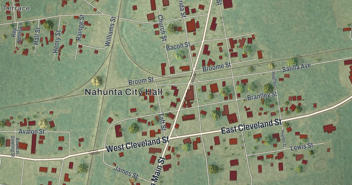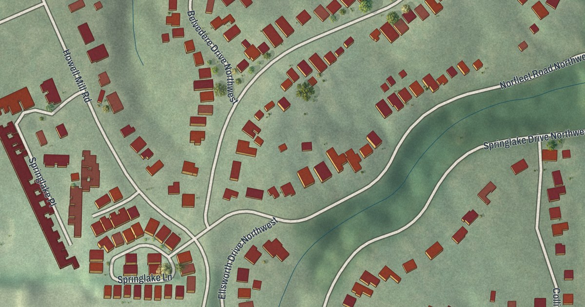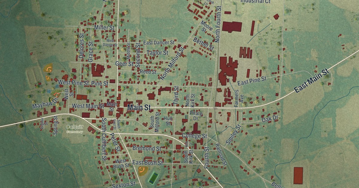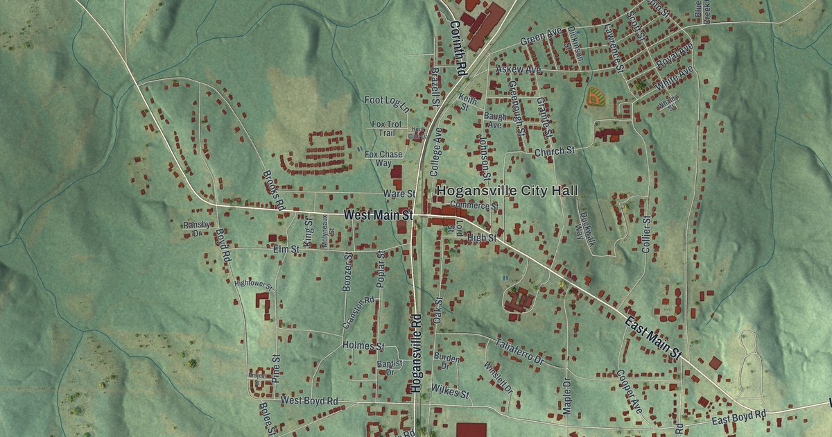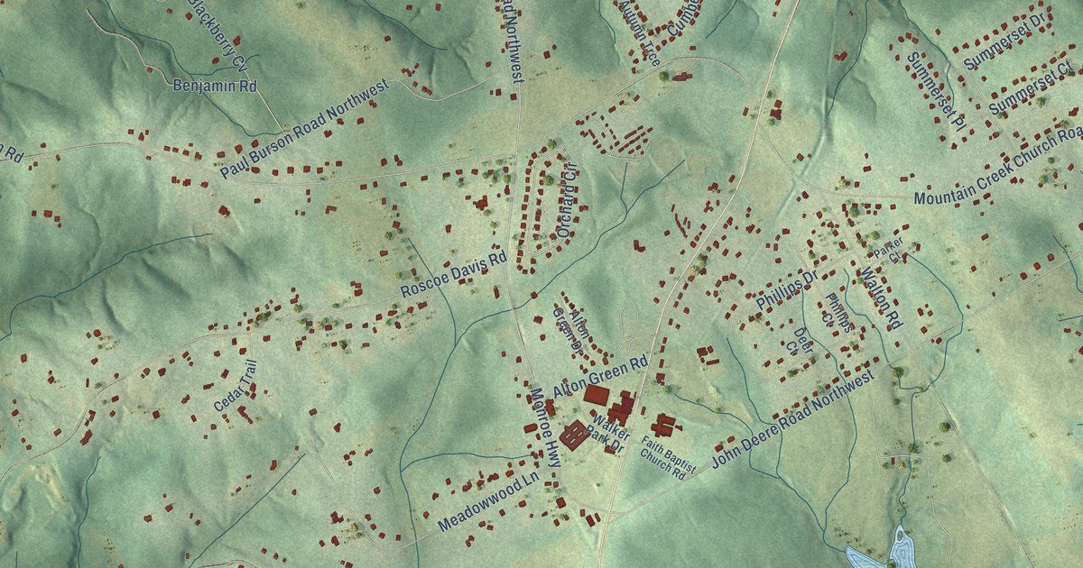
This beautifully detailed map of Walker Park, Georgia was created in 2026 using aerial imagery combined with modern topographical, census, street and landmark data. It’s a one-of-a-kind view of Walker Park that combines accurate data with a vintage aesthetic. The map shows every building in its true location, many of the roads carry their names, and the shaded topographic relief shows the shape of the land.
Explore an aerial view of Walker Park, Georgia
On the map you’ll find Nicholasville and Mathews Park, along with North Broad Street, West Spring Street, East Spring Street, Charlotte Rowell Boulevard, North Hammond Drive, Cherry Hill Drive, Birch Street, Wm Cap Jackson Road, East Marable Street, Old Athens Highway, and more. If you look closely you can even find your house accurately drawn in its correct location. Zoom in on the preview to look for yours.
Take a closer look at the Walker Park map
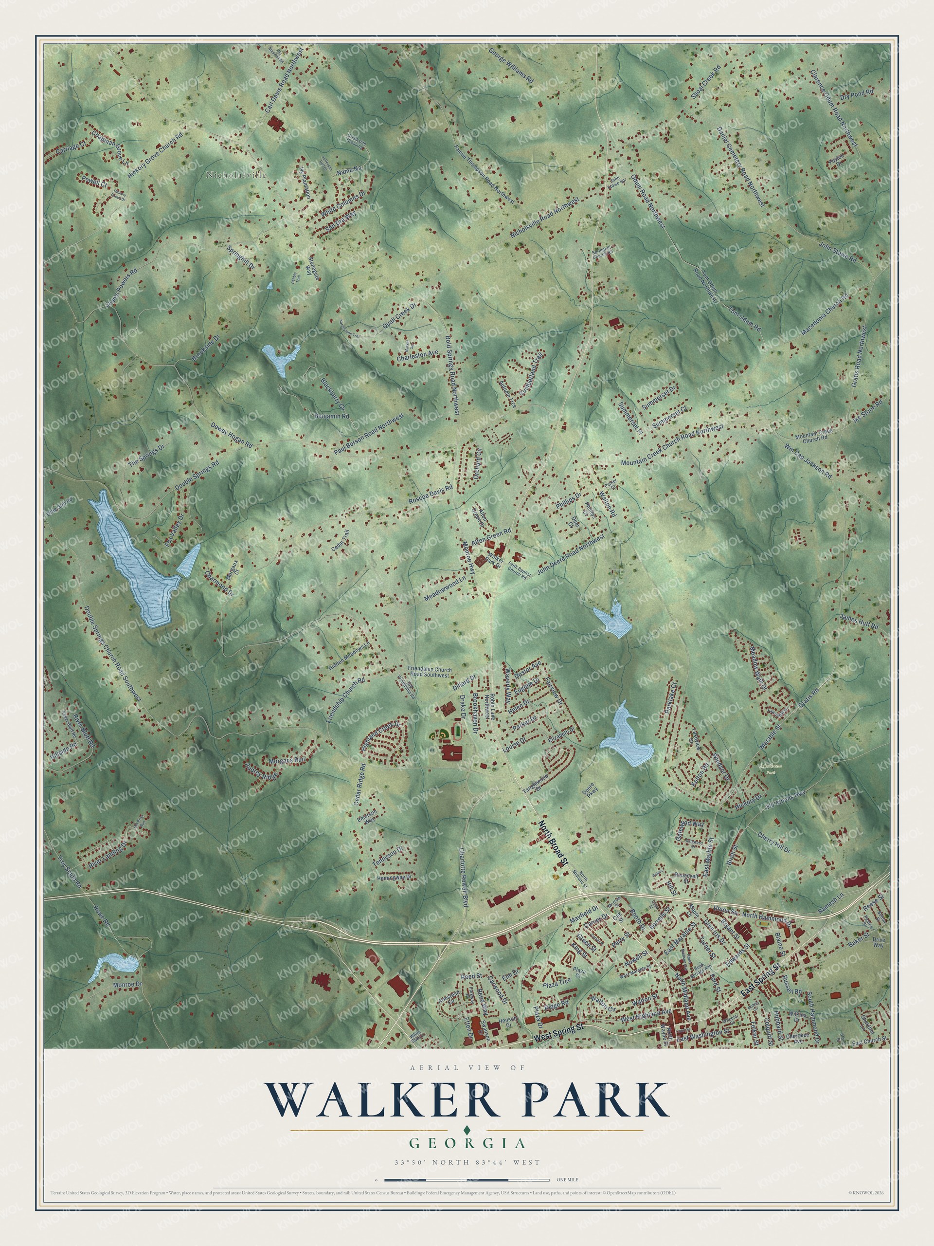
Names on this map
These names are printed on this map.
Places: Nicholasville and Mathews Park.
Streets and roads: North Broad Street, West Spring Street, East Spring Street, Charlotte Rowell Boulevard, North Hammond Drive, Cherry Hill Drive, Birch Street, Wm Cap Jackson Road, East Marable Street, Old Athens Highway, Gratis Road, Marable Street.
More street names, A to Z
Alton Green Drive, Alton Green Road, Armstead Circle, Audrey Ridge, Autumn Trce, Baker Street, Benjamin Road, Blackberry Cv, Blaine Street, Bold Springs Avenue, Bold Springs Road Northwest, Bolton Street, Booth Drive, Brookhaven Drive, Brookside Drive, Bryant Street, Carl Davis Road Northwest, Carriage Court, Carver Drive, Carver Place, Carwood Drive, Cedar Bluff Road, Cedar Ridge Road, Cedar Trail, Chapman Grove Lane, Charleston Avenue, Charmond Drive, Cherokee Avenue, Chestnut Lane, Clarence Odum Road Northwest, Colquitt Street, Cook Street, Court Street, Creekside Crossing, Cumberland Trail, Daniel Cemetery Road Northwest, Deer Court, Deere Parkway, Dewey Hogan Road, Dillard Drive, Doster Avenue, Double Springs Church Road Southwest, Double Springs Road, Drake Drive, Drive Way, Dry Pond Road, East Church Street, East Marble Street, East Washington Street, Edwards Street, Elizabeth Drive, Elm Drive, Emerson Way, Etten Drive, Eugene Drive, Fairview Drive, Faith Baptist Church Road, Fannie Thompson Road Northwest, Fawnfield Drive, Felker Street, Ford Street, Fox Valley Drive, Friendship Church Road, Friendship Church Road Southwest, Gatewood Drive, Gatewood Way, George Williams Road, Glen Iris Drive, Gratis Road Northwest, Green Street, Helen Drive, Hemingway Drive, Henson Drive, Hickory Drive, Hickory Grove Church Road, Hickory Grove Drive, Hidden Meadows Lane, Highland Creek Drive, Hillside Road, Hill Street, Hubbard Street, Ike Stone Road, Ivy Plantation, James Huff Road, James Powers Road, Jefferson Hall Drive, John Deere Road Northwest, John Stowe Road, John Stowe Spr, Karen Jane Trail, Kelton Road, King Street, Lakeview Drive, Louise Drive, Macedonia Church Road, Maple Lane, Margaux Court, Market Square, Mayfield Drive, Meadow Walk Drive, Meadowwood Lane, Mobley Circle, Monroe Drive, Monroe Highway, Morgans Run, Morrow Street, Mountain Creek Church Road, Mountain Creek Church Road Northwest, Name Na, Nicholsville Road Northwest, North Madison Avenue, North Midland Avenue, North Midland Street, North Wayne Street, Nowell Street, Oak Street, Odum Road Northwest, Offie Still Road, Old Braswell Road, Old Friendship Road, Old River Run, Orchard Circle, Parker Court, Parker Drive, Parklake Court, Parkway Place, Paul Burson Road Northwest, Pearce Street, Pebble Trail, Perry Street, Peters, Peyton Drive, Phillips Court, Phillips Drive, Plaza Court, Plaza Drive, Plaza Trce, Powell Court, Quail Creek Drive, Ramesh Lane, Reed Street, Reed Way, Reese Street, Ridge Road, River Bluff Road, River Landing Drive, Robin Lane Northwest, Roosevelt Street, Roscoe Davis Road, Rowe Road, Russell Road, San Dra Way, Shoal Creek Road, Sorrells Street, South Hammond Drive, Springhill Church Road, Springhill Drive, Stonegate Way, Stone Street, Summerset Court, Summerset Drive, Summerset Place, Swanson Drive, Tanglewood Drive, Tennyson Drive, The Springs Drive, Tom Odum Road, Tom Odum Road Northwest, Troy Smith Road, Turner Street, Union Square, Walker Park Drive, Walton Circle, Walton Road, Walton Street, Waverly Way, West Highland Avenue, West Marable Street, Wheeler Street, White Columns Drive, White Oak Lane, Wilkins Drive, Windsor Drive.
See it on a wall
The Walker Park map as a framed print. Swipe for more.


This beautifully detailed map of Walker Park makes an attractive addition to your office, library, or den, and it can even be used to teach children the geography and history of the area. It also makes a great gift for someone who left Walker Park and still calls it home. When you’re done exploring, click here to get your copy of the Walker Park map.