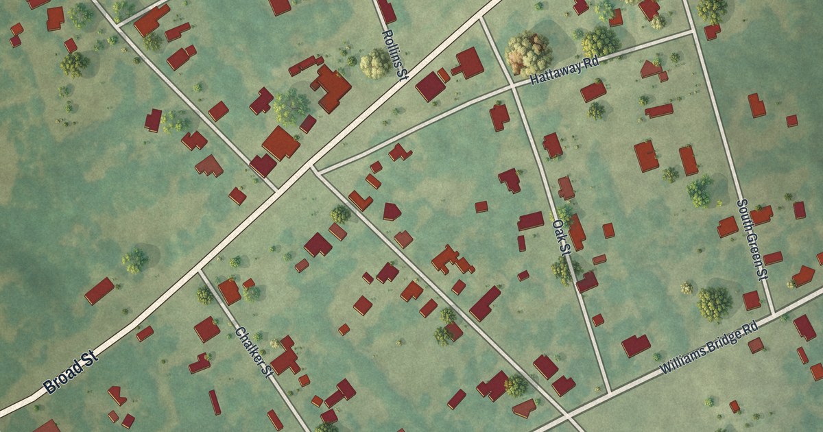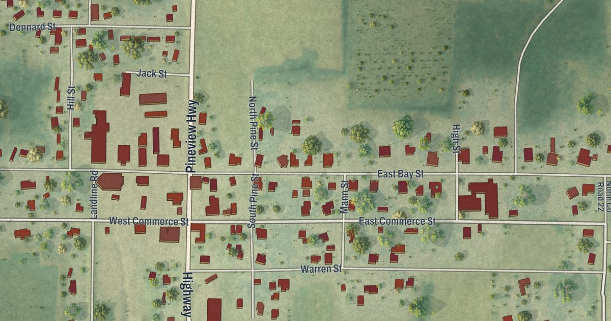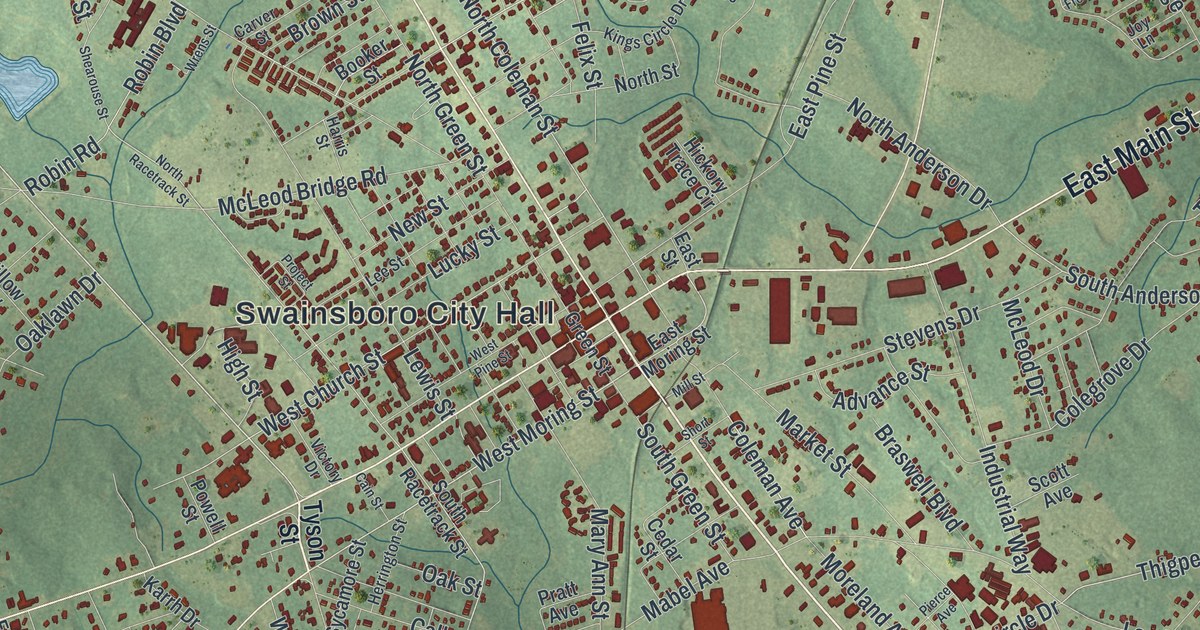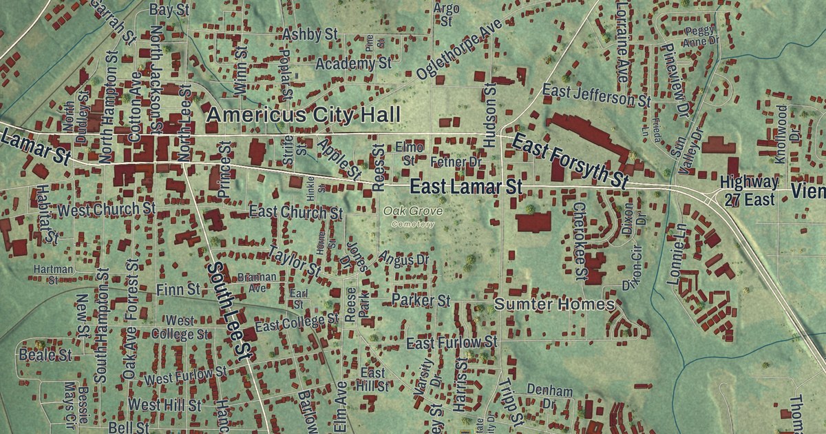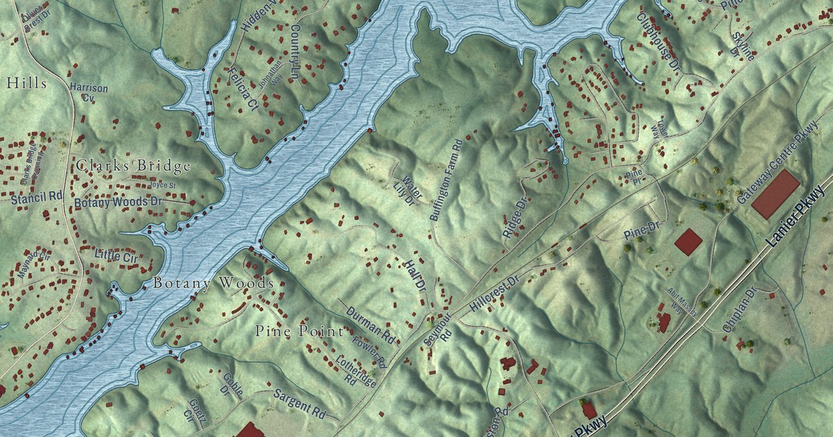
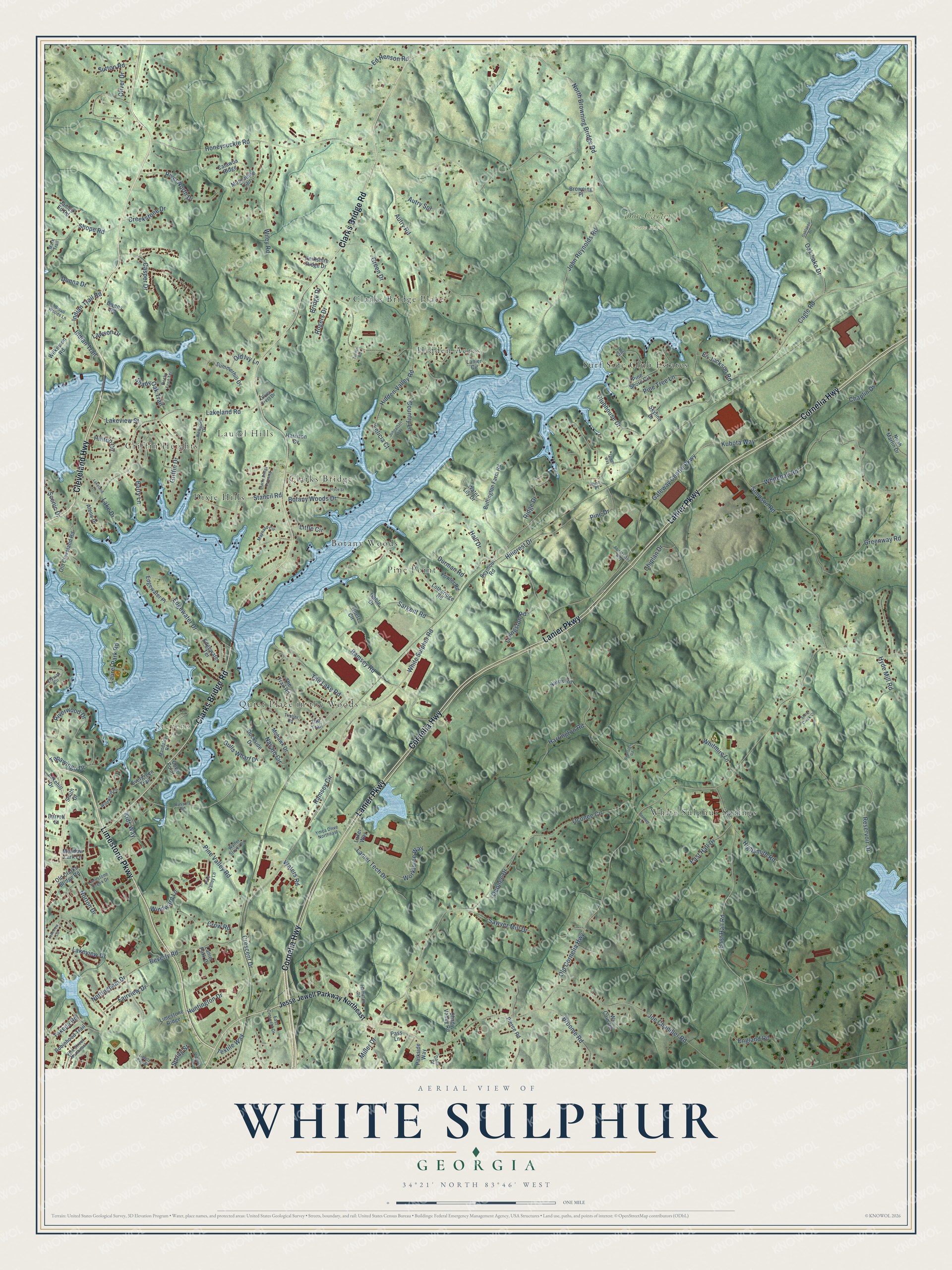
This beautifully detailed map of White Sulphur, Georgia was created in 2026 using aerial imagery combined with modern topographical, census, street and landmark data. It’s a one-of-a-kind view of White Sulphur that combines accurate data with a vintage aesthetic. The map shows every building in its true location, many of the roads carry their names, and the shaded topographic relief shows the shape of the land.
Explore an aerial view of White Sulphur, Georgia
On the map you’ll find Stevens, Don Carter State Park, Clarks Bridge, White Sulphur Springs, Hidden Acres, Surf Side Club Estates, Quiet Place in the Woods, Griffin Heights, Pine Point, Clarks Bridge Place, Dixie Hills, Laurel Hills, and more. If you look closely you can even find your house accurately drawn in its correct location. Zoom in on the preview to look for yours.
Did You Know?
From Internet Archive: "In 1850 he came to Georgia and built a large mill at White Sulphur Springs, in the southern part of Meriwether county, and in 1854 he moved to his present home, near Rocky Mount."
White Sulphur is a community in Hall County.
Take a closer look at the White Sulphur map
Names on this map
These names are printed on this map.
Places: Stevens, Don Carter State Park, Clarks Bridge, White Sulphur Springs, Hidden Acres, Surf Side Club Estates, Quiet Place in the Woods, Griffin Heights, Pine Point, Clarks Bridge Place, Dixie Hills, Laurel Hills and Botany Woods.
Streets and roads: Cleveland Highway, Limestone Parkway, Cornelia Highway, Lanier Parkway, Clarks Bridge Road, Textile Way, Oak Lake Drive, White Sulphur Road, Norton Drive, Old Cornelia Highway, Cagle Road, Oconee Circle.
More street names, A to Z
Abit Massey Way, Alene Drive, Autry Road, Autry Spr, Barrett Street, Barry Lane, Bennett Lane, Berkshire Ridge Drive, Beverly Road, Bivens Road, Botany Woods Drive, Bridge Drive, Broome Road, Browning Place, Buffington Farm Road, Casper Drive, Catawba Ridge, Chaplin Drive, Chiplan Drive, Clarks Bridge Crossing, Clubhouse Drive, Country Lane, Cove Point, Creekstone Drive, Crescent Drive, Crow Road, Dana Drive, Dockside Drive, Donna Drive, Durman Road, East Crescent Drive, East Hall Drive, East Hall Road, Edgewater Drive, Edgewater Place, Edgewater Terrace, Ed Henson Road, Eli Jackson Road, Elysian Circle, England Road, Evergreen Trail, Fairview Drive, Felicia Court, Fowler Road, Gateway Centre Parkway, Goble Drive, Goetz Circle, Green Drive, Greenway Road, Griffin Drive, Gulls Wharf Drive, Hall Drive, Hamilton Road, Harrington Road, Harrison Cv, Hidden Valley Road, Highsmith Road, Hill Court, Hillcrest Drive, Hilltop Circle, Honeysuckle Road, Huntington Drive, Hyde Mill Road, Indian Trail, Indian Trail Road, James Ed Road, Jesse Jewell Parkway Northeast, Joe Chandler Road, Johnathan Way, John Reynolds Road, Joyce Street, Kids Way, Kubota Way, Lake Drive, Lakehill Drive, Lakeland Lane, Lakeland Road, Laker Way, Lakeview Circle, Lakeview Drive, Lakeview Street, Lanier Circle, Lanier Park Drive, Lanier Tech Drive, Laurel Park Road, Lawson Drive, Liberty Park Drive, Limestone Creek Drive, Limestone Ridge, Little Circle, Livingston Road, Lotheridge Road, Mandalay Road, Mark Trail, Maynard Circle, Meadow Lark Lane, Miller Drive, Mohawk Drive, Muscadine Trail, Navajo Circle, Newport Drive, Noah Martin Drive, Norris Road, North Browning Bridge Road, Nottingham Drive, Oaklakes Drive, Oconee Drive, Old Clarks Bridge Road, Old Cleveland Road, Old Ivy Lane, Oliver Crest Drive, Oliver Drive, Parkside Way, Pass Lane, Pierce Road, Pine Drive, Pine Place, Pine Shore Circle, Pine Tree Lane, Pine Valley Lane, Pine Valley Road, Ramsey Circle, Ramsey Road, Reservoir Drive, Reynolds Road, Ridge Drive, River North Drive, Riverwood Drive, Robinhood Trail, Rocky Ford Terrace, Rogers Drive, Russell Road, Sargent Road, Sawyer Mill Drive, Scenic Drive, Seymour Road, Shady Oak Trail, Shady Valley Road, Shope Road, Simpson Road, Skyline Drive, Small Woods Lane, Smith Drive, Spring Street, Stancil Road, Stone Creek Court, Summerhill Drive, Sutton Road, Takeda Road, Tapawingo Drive, The Lake Road, The Trail, The Trail Road, Timber Road, Tower Way, Turner Road, Victory Street, Vine Street Northeast, Walter Stover Road, Water Lily Drive, Waters Road, Whitehall Road, Whitmire Lane, Wildwood Circle, Wiley Road, Wilkerson Road, Windward Lane, Workforce Way, Ws Cain Road, Ymca Drive Northeast.
See it on a wall
The White Sulphur map as a framed print. Swipe for more.


This beautifully detailed map of White Sulphur makes an attractive addition to your office, library, or den, and it can even be used to teach children the geography and history of the area. It also makes a great gift for anyone with White Sulphur roots. When you’re done exploring, click here to get your copy of the White Sulphur map.