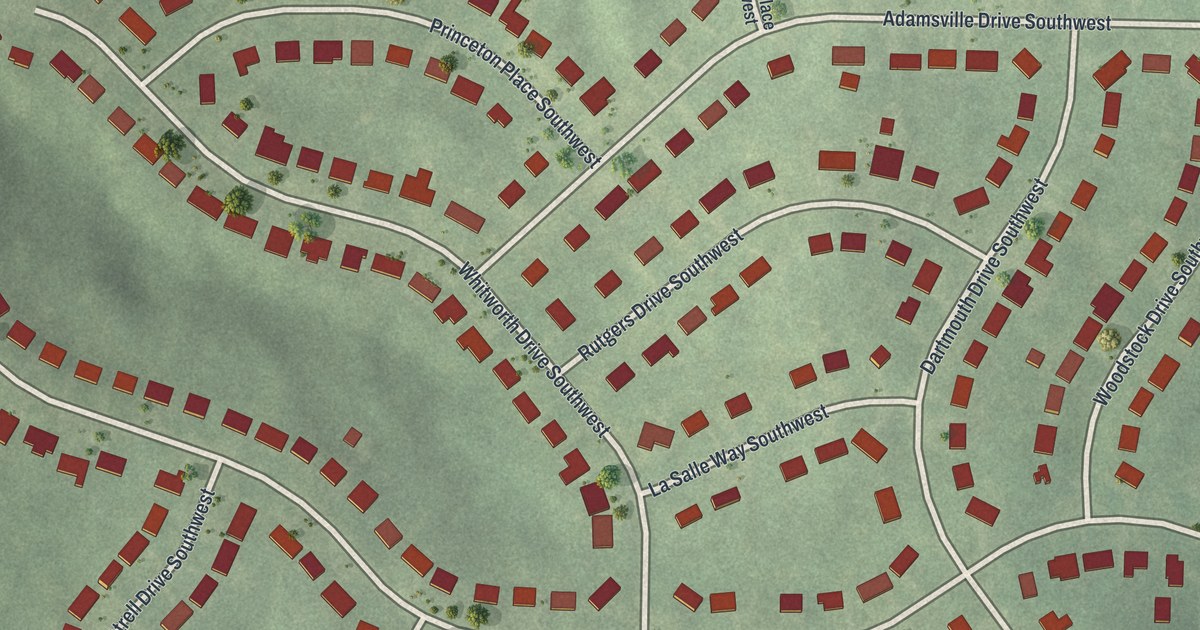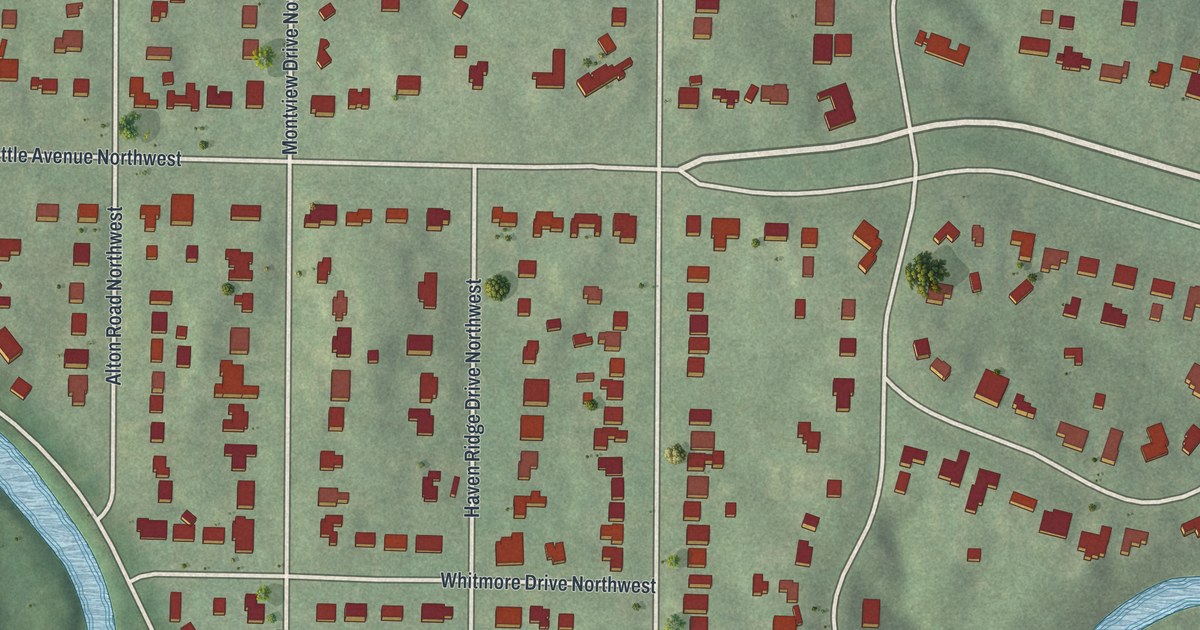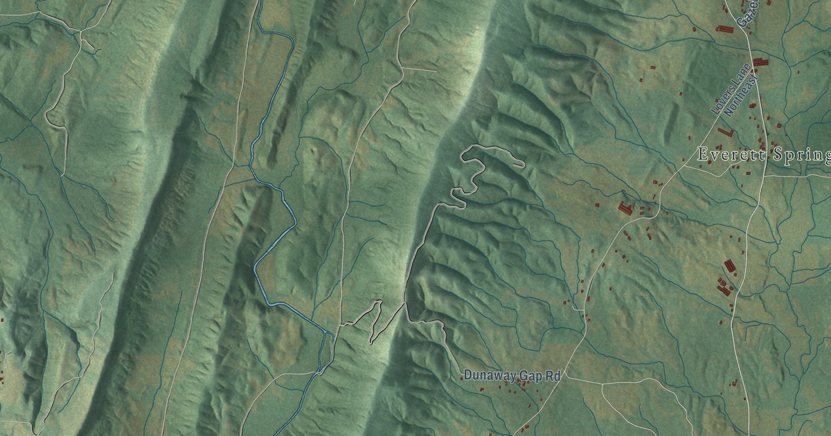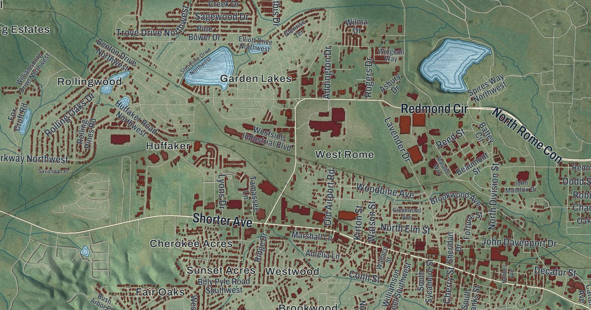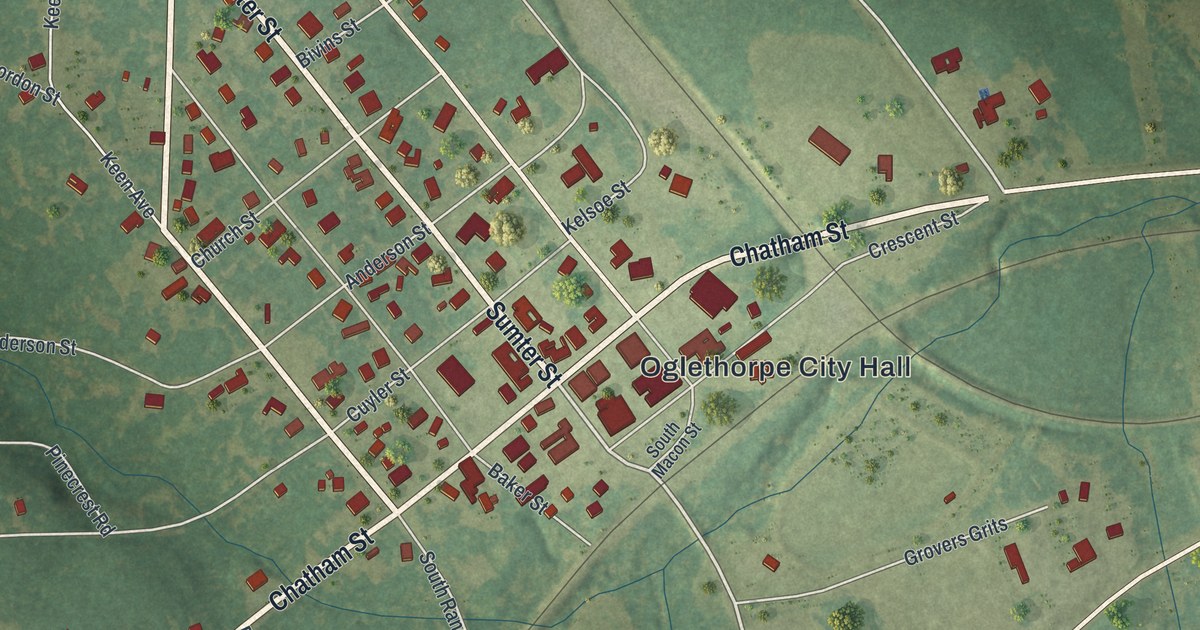
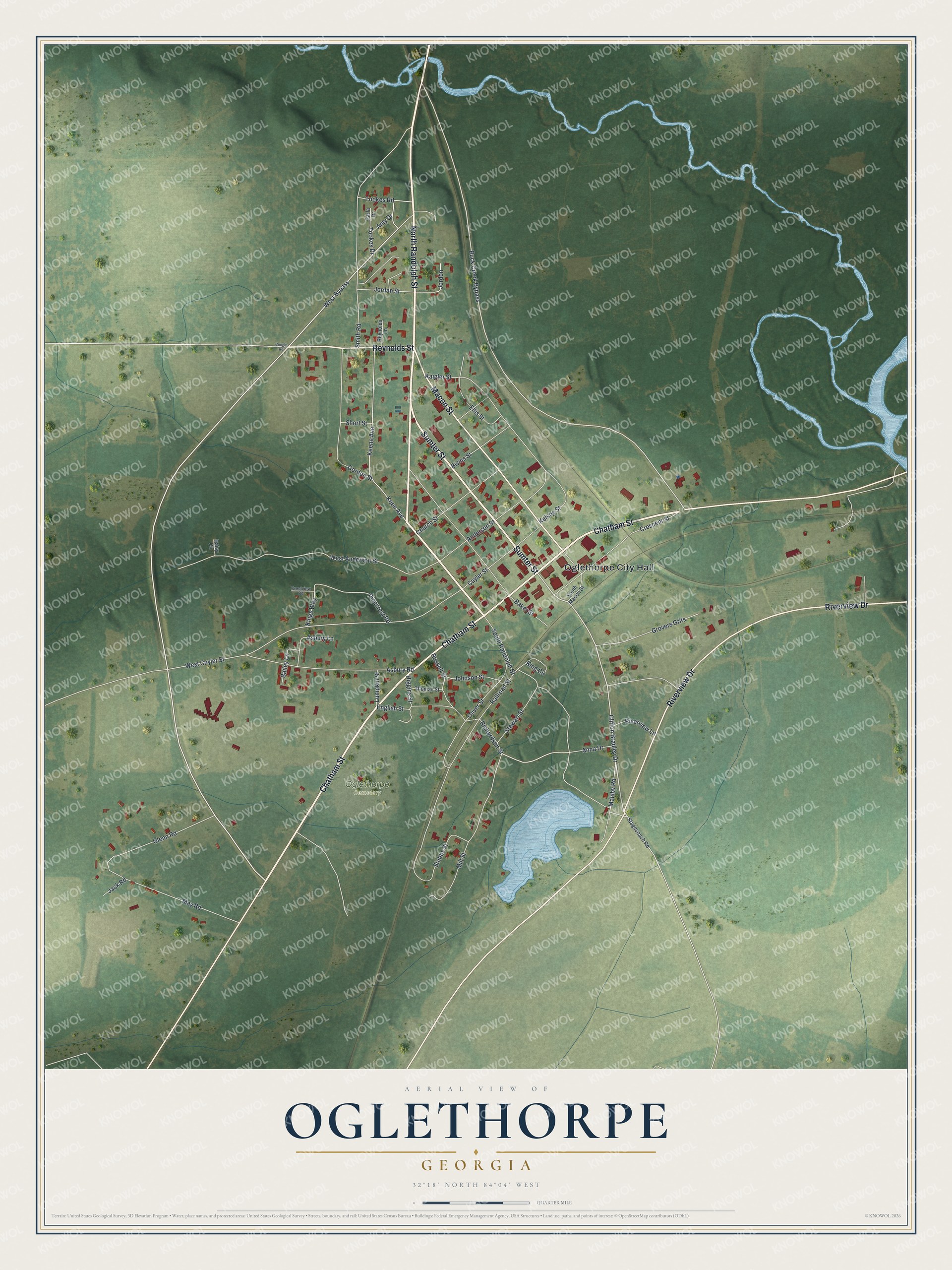
This beautifully detailed map of Oglethorpe, Georgia was created in 2026 using aerial imagery combined with modern topographical, census, street and landmark data. It’s a one-of-a-kind view of Oglethorpe that combines accurate data with a vintage aesthetic. The map shows every building in its true location, many of the roads carry their names, and the shaded topographic relief shows the shape of the land.
Explore an aerial view of Oglethorpe, Georgia
On the map you’ll find Oglethorpe City Hall, along with Randolph Street, Chatham Street, Sumter Street, Macon Street, and more. If you look closely you can even find your house accurately drawn in its correct location. Zoom in on the preview to look for yours.
Did You Know?
The Central of Georgia Railway reached Oglethorpe in 1851, and the town grew fast. People called it the metropolis of southwest Georgia. Its boom peaked around 1855. When the railroad pushed on to Americus and a severe smallpox epidemic struck, the town declined. That’s from the 1940 WPA guide to Georgia.
Take a closer look at the Oglethorpe map
Names on this map
These names are printed on this map.
Places: Oglethorpe City Hall and Oglethorpe Cemetery.
Streets and roads: North Randolph Street, Chatham Street, Sumter Street, Macon Street, Reynolds Street, Riverview Drive, West Bypass, Clifton Bradley Drive, Buck Creek Bypass, Tookes Drive, West Cuyler Street, Richardson Street.
More street names, A to Z
Amy Drive, Anderson Street, Anna Drive, Asbury Lane, Asbury Road, Bailey Lane, Baker Street, Bivins Street, Carla Drive, Church Street, Coogle Road, Crescent Street, Crestview Road, Cuyler Street, Daisy Circle, Ellis Street, English Street, Glenn Road, Gordon Street, Grovers Grits, Higgins Street, Jack Road, Johnson Street, Jordan Street, Jordon, Kaigler Street, Keen Avenue, Keene Avenue, Kelsoe Street, King Circle, Kings Way, Lumpkin Street, Malsby Road, May Road, Mill Street, Oliver Street, Pinecrest Road, Railroad Street, Reynolds Lane, Riverview Lane, Russell Street, Short Street, Smith Road, South Macon Street, South Randolph Street, Stagecoach Road, Stewart Street, Stubbs Street, Thomas Street, Tookes Road, West Anderson Street.
See it on a wall
The Oglethorpe map as a framed print. Swipe for more.


This beautifully detailed map of Oglethorpe makes an attractive addition to your office, library, or den, and it can even be used to teach children the geography and history of the area. It also makes a great gift for anyone who grew up in Oglethorpe or moved away. When you’re done exploring, click here to get your copy of the Oglethorpe map.