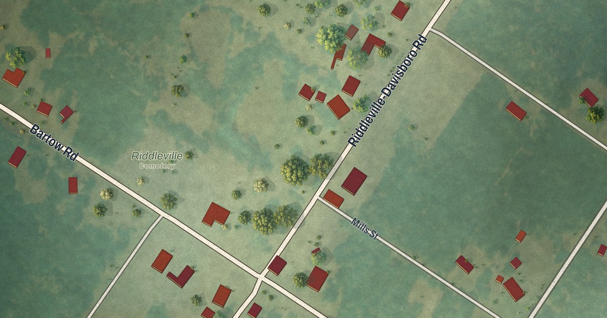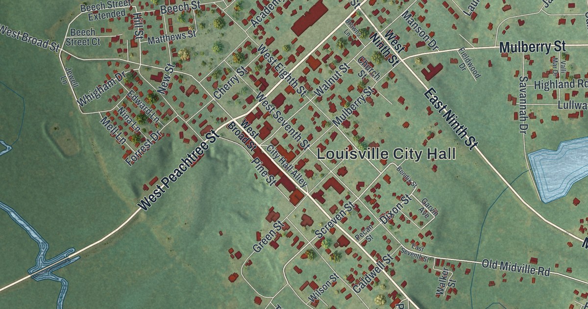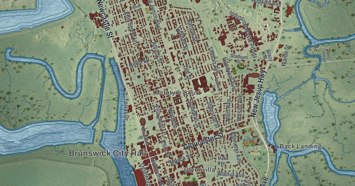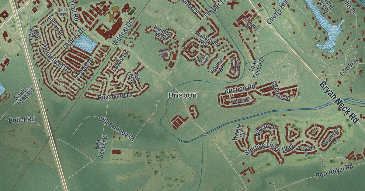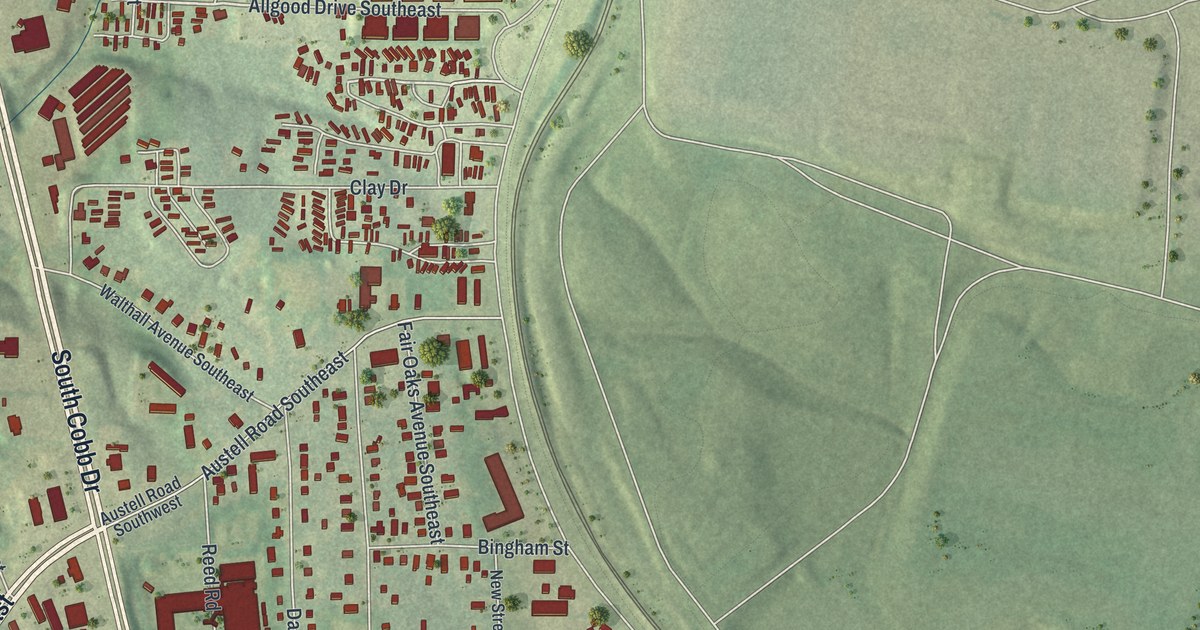
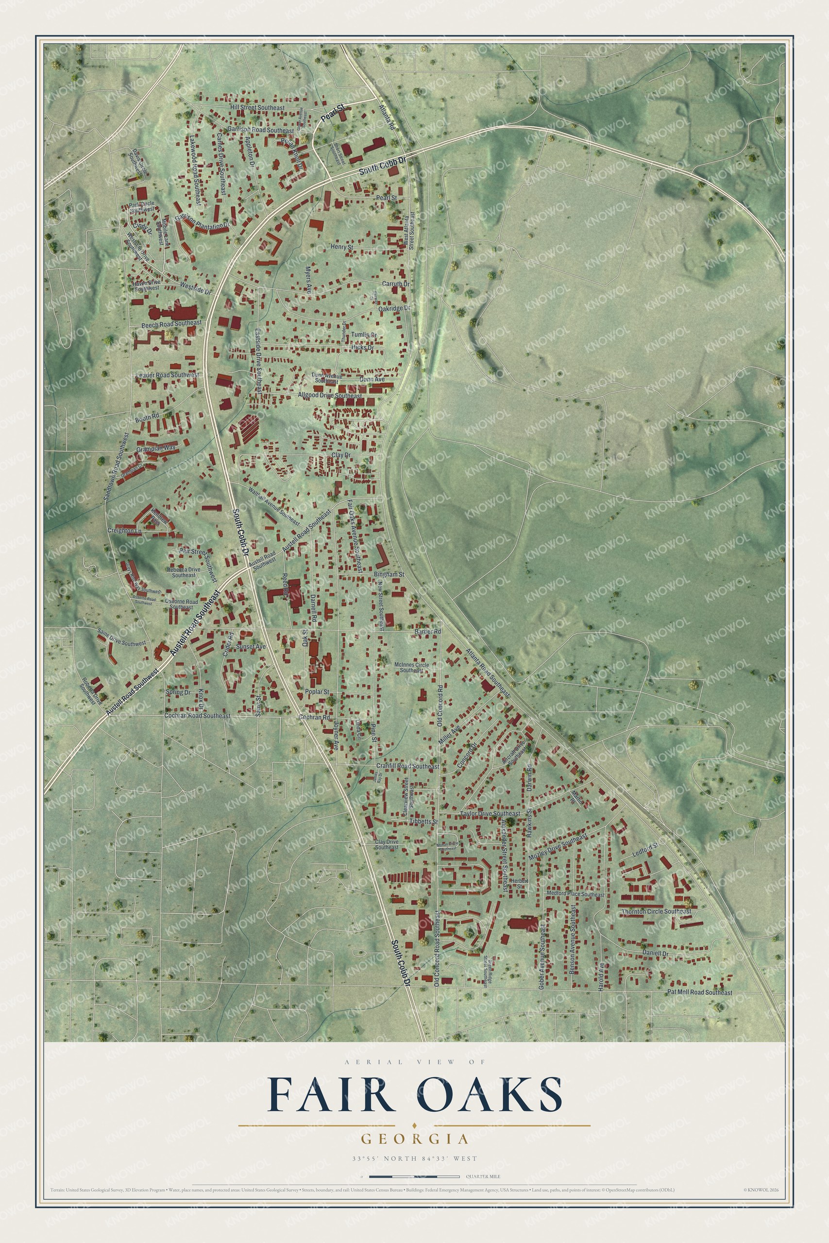
This beautifully detailed map of Fair Oaks, Georgia was created in 2026 using aerial imagery combined with modern topographical, census, street and landmark data. It's a modern aerial view of Fair Oaks in Cobb County, Georgia, that combines modern data with a vintage aesthetic. The roads feature printed names, and if you look closely you can find your exact house accurately shown in its correct location.
Explore an aerial view of Fair Oaks, Georgia
On this map you'll find Austell Road Southeast, South Cobb Drive, Pearl Street, Cochran Road Southeast, Atlanta Road, Westside Drive, Hicks Drive, Atlanta Road Southeast, Sandtown Road Southwest, Old Concord Road, Old Concord Road Southeast, Joyner Avenue, and more. Each red shape is a building, so zoom in on the preview and look for yours.
Fair Oaks is a community in Cobb County. The Census Bureau counted 9,028 people here in 2020. Fair Oaks sits about 2 miles south of Marietta, 4 miles north of Smyrna and 6 miles northwest of Vinings. The map prints the town name in its title panel, with the coordinates below it.
Take a closer look at the Fair Oaks map
Names on this map
These names are printed on this map.
Streets and roads: Austell Road Southeast, South Cobb Drive, Pearl Street, Cochran Road Southeast, Atlanta Road, Westside Drive, Hicks Drive, Atlanta Road Southeast, Sandtown Road Southwest, Old Concord Road, Old Concord Road Southeast, Joyner Avenue.
More street names, A to Z
Aircraft Drive Southeast, Alexander Street Southeast, Allgood Drive Southeast, Appleton Drive, Austell Road Southwest, Barber Road, Beech Road Southeast, Benson Avenue Southeast, Bingham Street, Booth Road, Carnes Drive Southeast, Carruth Drive, Cindy Drive, Clay Drive, Clay Drive Southeast, Clearview Street Southeast, Cochran Road, Concord Drive, Cranfill Road Southeast, Creighton Lane, Crider Road, Daniell Drive, Darnell Road, Darwin Road, Davis Circle Southwest, Dunn Avenue, Dunn Avenue Southeast, Eastside Drive Southeast, Fair Oaks Avenue Southeast, Fairway Drive, Garrison Plantation Drive, Garrison Road Southeast, Glover Avenue Southeast, Gober Avenue Southeast, Grampian Court, Grampian Way, Green Ridge Street Southeast, Greys Rise Way Southwest, Harold Avenue, Haven Drive Southwest, Hawkins Street, Henry Street, Herbert Street, Hill Street Southeast, James Ray Drive, Kendrew Pass, Knox Drive, Lakewood Road Southeast, Leader Road Southwest, Ledford Street, Linda Circle, Martin Place, McInnes Circle Southeast, Medford Place Southeast, Miller Avenue, Mobile Lane Southwest, Mohan Circle Southeast, Mozley Drive Southeast, Myers Avenue, New Street Southeast, Oakridge Drive, Oak Street, Osborne Road Southeast, Osborne Road Southwest, Pair Street Southwest, Park Circle Southwest, Pat Mell Road Southeast, Pecan Knoll Drive, Pine Street, Poplar Street, Rebecca Drive Southeast, Reed Road, Roberta Drive Southwest, Saine Drive Southwest, Sams Street, Short Street Southeast, Spring Drive, Sunset Avenue, Taylor Drive Southeast, Thornton Circle Southeast, Thunder Drive, Tibbetts Street, Tumlin Drive, Walthall Avenue Southeast, West Atlanta Street Southeast, Westside Drive Southwest.
See it on a wall
The Fair Oaks map as a framed print. Swipe for more.


Created by KNOWOL in 2026. The buildings are small red shapes, the roads carry their printed names, and shaded relief shows the shape of the land. The title panel reads "AERIAL VIEW OF FAIR OAKS, GEORGIA" with 33°55' NORTH 84°33' WEST.
Hang it in the hallway, the office or the cabin, or give it to someone who left Fair Oaks and still calls it home. Open the preview and look for a street you know. See sizes and frames for the Fair Oaks map.