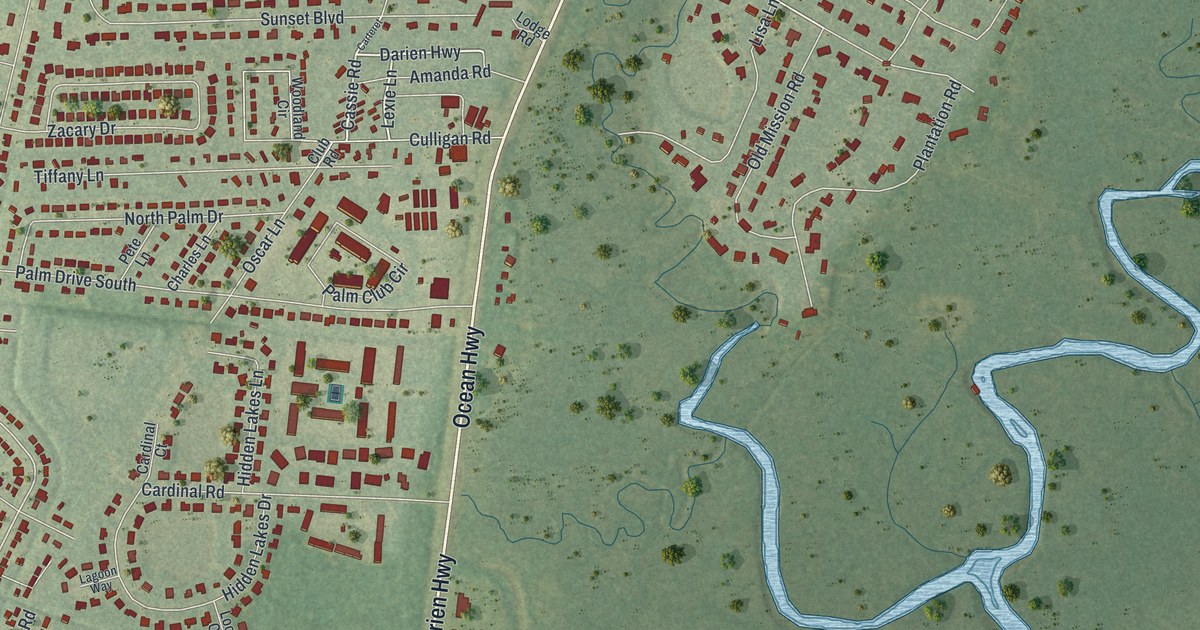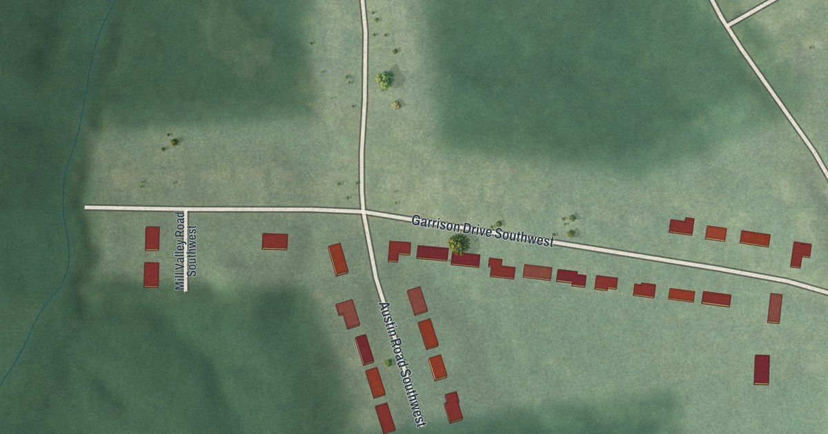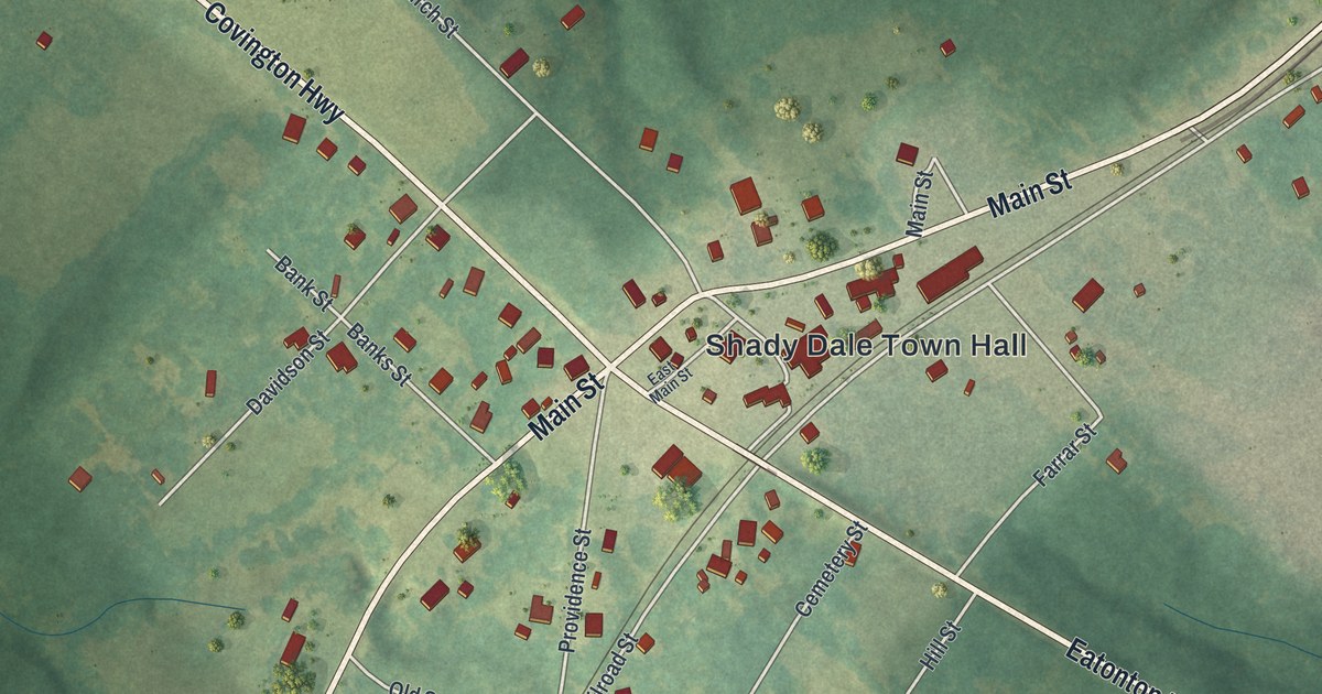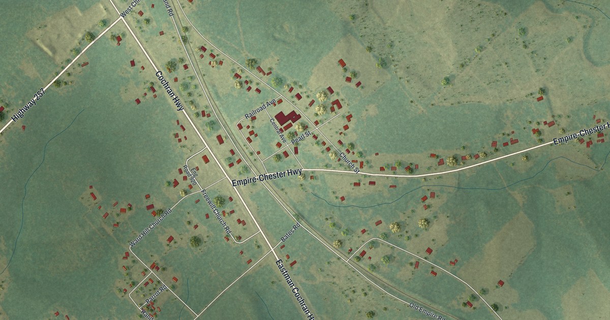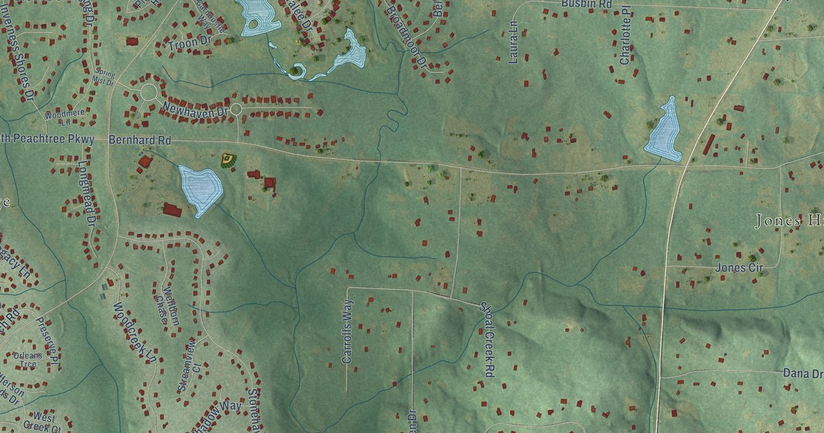
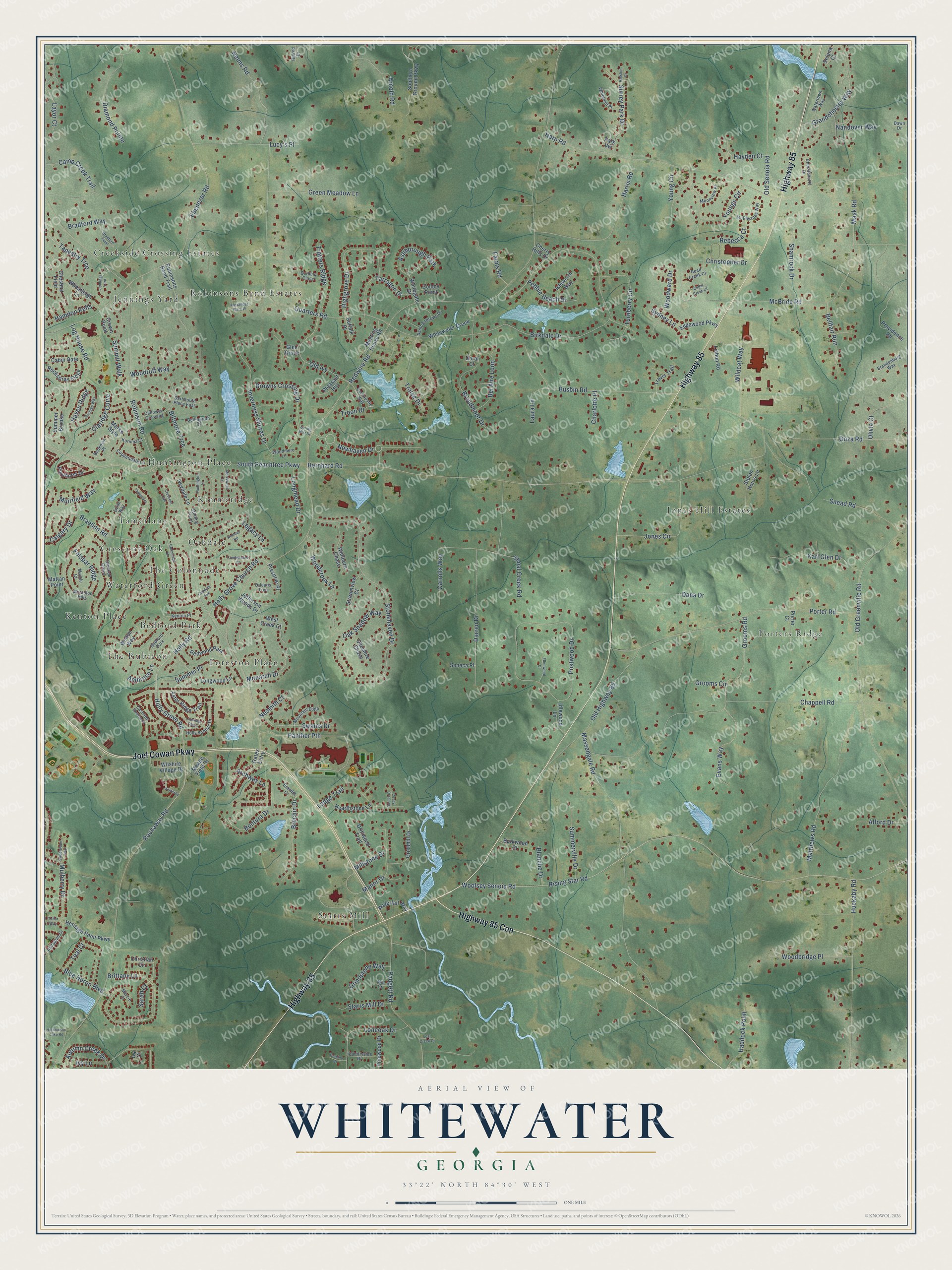
This beautifully detailed map of Whitewater, Georgia was created in 2026 using aerial imagery combined with modern topographical, census, street and landmark data. It’s a one-of-a-kind view of Whitewater that combines accurate data with a vintage aesthetic. The map shows every building in its true location, many of the roads carry their names, and the shaded topographic relief shows the shape of the land.
Explore an aerial view of Whitewater, Georgia
On the map you’ll find Jennings Yard, The Rubicon, Jones Hill Estates, Starrs Mill, Kimmeridge, Porters Ridge, The Colonnade, Creekside Crossing Estates, Bedford Park, Tamerlane, Waterford Green, Huntington Place, and more. If you look closely you can even find your house accurately drawn in its correct location. Zoom in on the preview to look for yours.
Did You Know?
From Internet Archive: "In 1849, Doctor Drewry became a member of the Baptist church at Whitewater, Fayette county, and in 1857 he was ordained a deacon in the same church."
Whitewater is a community in Fayette County.
Take a closer look at the Whitewater map
Names on this map
These names are printed on this map.
Places: Jennings Yard, The Rubicon, Jones Hill Estates, Starrs Mill, Kimmeridge, Porters Ridge, The Colonnade, Creekside Crossing Estates, Bedford Park, Tamerlane, Waterford Green, Huntington Place, Foreston Place, Robinsons Bend Estates, Oakdale, Kenton Place, Crescent Oak, Ashborough Park and Redwood Park.
Streets and roads: Highway 85, Joel Cowan Parkway, Highway 85 Con, Rockaway Road, Newhaven Drive, Holly Grove Road, Holly Road, Holly Grove Church Road, Old Ivy, Redwine Road, Bernhard Road, Robinson Road.
More street names, A to Z
Alexander Ware Place, Alford Drive, Ambrose Lane, Archway Lane, Arnold Road, Aster Ridge Trail, Autumn Creek Drive, Bel Aire Loop, Bellfair Run, Bellingrath Court, Biltmore Trce, Birkdale Drive, Blanche Drive, Blue Heron Boulevard, Bontura Drive, Bookman Place, Bradford Point, Bradford Way, Braelinn Road, Bramlet Court, Brandenburg Way, Brechin Drive, Brittany Lane, Broadmoor Drive, Browns Crossing Drive, Burbury Close, Burkwood Court, Busbin Road, Cabin Gate, Calgary Drive, Calloway Crossing, Camp Creek Trail, Carnoustie Way, Carrolls Way, Cascade Overlook, Cedar Creek Court, Chappell Road, Charlotte Place, Cherry Hills Drive, Cheshire Chase, Chestlehurst Drive, Chestnut Field, Christian Circle, Christopher Drive, Claridge Curve, Colonnade Drive, Colony Point, Copperplate Lane, Countryside Drive, Covey Crossing, Crown Point, Cumberland Court, Dana Drive, Darren Drive, Dartmouth Place East, Dawn Drive, Diamond Pointe, Domino Court, Doral Court, Driftwood Trail, Ebenezer Road, Edgewood Parkway, Ellenwood Court, Evans Way, Evian Way, Farms Road, Felspar Ridge, Gates Entry, Glen Grove, Goza Road, Grandchester Way, Grecken Green, Green Meadow Lane, Grindstone Way, Gristmill Drive, Grooms Circle, Grooms Road, Haddock Point, Hamdon Kells, Harp Road, Harris Road, Haven Ridge, Hayden Court, Hearthstone Lane, Heritage Point Parkway, Heritage Way, Highgrove Drive, Hillred Drive, Holly Springs Drive, Huckaby Road, Hutchinson Lake Road, Idlewood Lane, Inverness Shores Drive, Isleworth Way, Iveydale Lane, Ivy Court, Ivy Lane, Jefferson Woods Drive, Jones Circle, Kari Glen Drive, Kimmer Road, Korinna Court, Laura Lane, Lavender Oasis, Layor Court, Legacy Lane, Lisbon Road, Lodge Trail, Log House Road, Loneoak Drive, Longmead Drive, Longwood Lane, Lost Creek Court, Lucy's Place, Manor Drive, Marble Court, Marcie Court, Marks Style, Mask Road, Massengale Road, Mattan Point, Matthews Road, McBride Road, McElwaney Way, Meade Field Drive, Meeting House Road, Merrywood Lane, Mill Court, Millstone Drive, Monarch Drive, Moonview Place, Morallion Hills, Mountain Edge, Muirfield Way, Mulberry Drive, Nandover Way, Nelms Road, Nesmith Court, Oakdale Avenue, Oak Shadow Way, Old Greenville Road, Old Highway 85, Old Senoia Road, Olivia Court, Orleans Trce, Padgett Road, Palladian Drive, Panther Pth, Park Vw, Pebble Beach Drive, Pinehurst Drive, Pinewood Drive, Pleasant Hill, Porter Court, Porter Road, Postwood Drive, Preserve Place, Providence Road, Quarters Road, Ralston Court, Rebecca Court, Reed Creek Court, Rising Star Road, Robinsons Bend Trail, Rockspray Ridge, Saint Andrews Drive, Sarah Court, Selena Court, Seneca Place, Shamrock Drive, Shoal Creek Road, Snead Road, Somerby, Southern Ground Parkway, South Peachtree Parkway, Spring Mist Drive, Starrs Mill Drive, Sterling Point, Stolen Hours Lane, Stonehaven Drive, Streamview Court, Suffolk Place, Summer Brooke, Summer Place, Summerville Drive, Summit Walk, Surrey Park Drive, Swains Drive, Sweetwater Way, Sydney Lane, Tapestry Trce, Tarragon Drive, Teal Court, Tralee Drive, Travis Trail, Troon Drive, Trotters Ridge, Tudor Way, Turnberry Circle, Waterfall Way, Watertown Way, Wellborn Chase, Welton Way, West Creek Court, Wheatleigh Lane, Whitegate Drive, Whitehall Place, Whitewater Creek, Wildcat Way, Wilshire Village Drive, Woodbridge Place, Woodcreek Lane, Woodmere Lane, Woodruff Way, Woodward Drive, Woolsey Senoia Road, Young Circle, Youngs Circle.
See it on a wall
The Whitewater map as a framed print. Swipe for more.


This beautifully detailed map of Whitewater makes an attractive addition to your office, library, or den, and it can even be used to teach children the geography and history of the area. It also makes a great gift for anyone with Whitewater roots. When you’re done exploring, click here to get your copy of the Whitewater map.