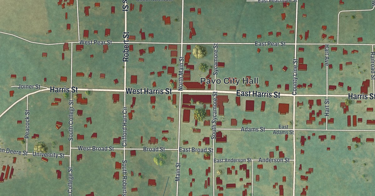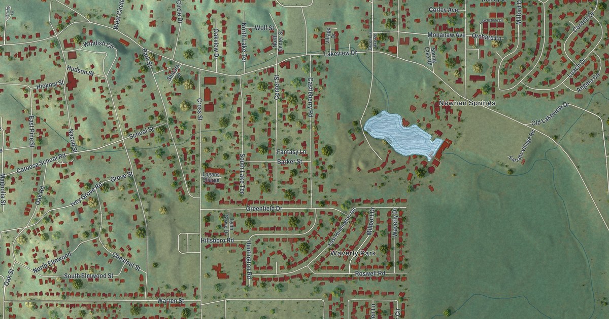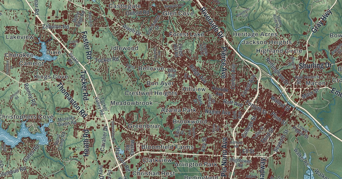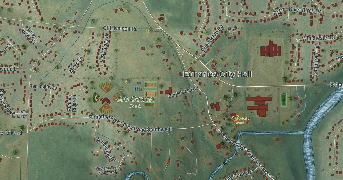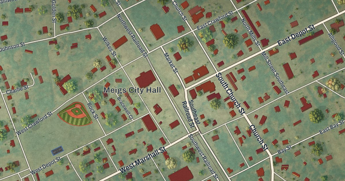
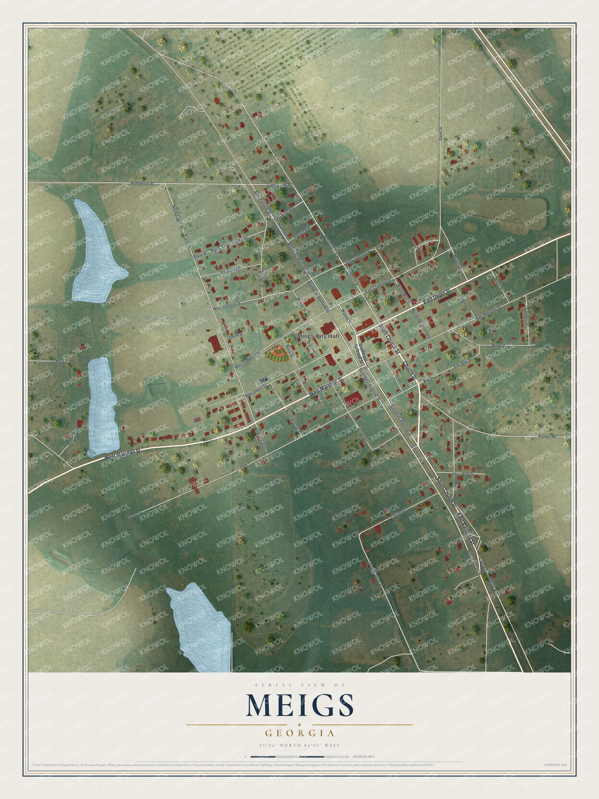
This beautifully detailed map of Meigs, Georgia was created in 2026 using aerial imagery combined with modern topographical, census, street and landmark data. It’s a one-of-a-kind view of Meigs that combines accurate data with a vintage aesthetic. The map shows every building in its true location, many of the roads carry their names, and the shaded topographic relief shows the shape of the land.
Explore an aerial view of Meigs, Georgia
On the map you’ll find Meigs City Hall and Meigs Sunset Cemetery, along with Church Street, Railroad Street, Marshall Street, Depot Street, and more. If you look closely you can even find your house accurately drawn in its correct location. Zoom in on the preview to look for yours.
Did You Know?
In 1891, Meigs was only a hamlet with two stores. An old box car served as its railway station. That year a farmer named Atkinson settled here and opened a cotton gin. He later added a sawmill and a store, and the Atkinson Mercantile Company grew into one of the largest in the area. That’s from the 1913 History of Savannah and South Georgia.
Take a closer look at the Meigs map
Names on this map
These names are printed on this map.
Places: Meigs City Hall and Meigs Sunset Cemetery.
Streets and roads: Church Street, East Railroad Street, South Church Street, West Marshall Street, East Depot Street, Southeast Railroad Street, Market Street, West Railroad Street, Southwest Railroad Street, Northwest Railroad Street, North Church Street, East Crawford Street.
More street names, A to Z
Alligood Street, Bay Street, Boyd Street, Bracewell Court, Cabin Street, Carter Street, Charlie Street, Collins Street, County Line Road, Crowell Street, Davis Street, Duren Street, East Bay Street, East Fifth Avenue, East Johnson Street, East Marshall Street, Ell's Creek Drive, Fainwood Street, Fifth Avenue, Fourth Avenue, Golden Street, Hambelton Street, Hurst Street, Mill Street Southeast, Nbc Lane, Nelson Street, Nine Dime Doctor Road, North Carter Street, Northeast Railroadf Street, Northeast Railroad Street, North Mills Street, North Proctor Street, Palmer Road, Rauls Street, Rauls Street Southeast, Rock Street, Rouse Street, South Carter Street, South Collins Street, South Street, Vine Street, West Crawford Street, West Depot Street, West Johnson Street, Wilkes Street.
See it on a wall
The Meigs map as a framed print. Swipe for more.


This beautifully detailed map of Meigs makes an attractive addition to your office, library, or den, and it can even be used to teach children the geography and history of the area. It also makes a great gift for anyone with Meigs roots. When you’re done exploring, click here to get your copy of the Meigs map.