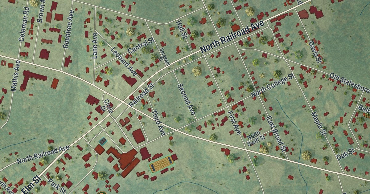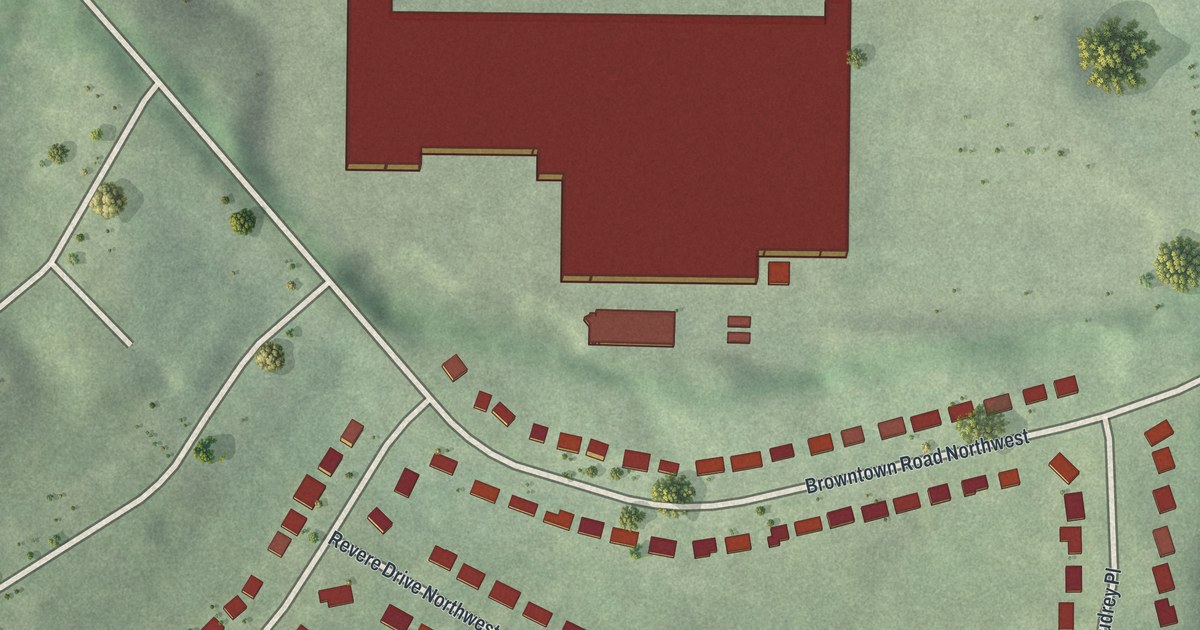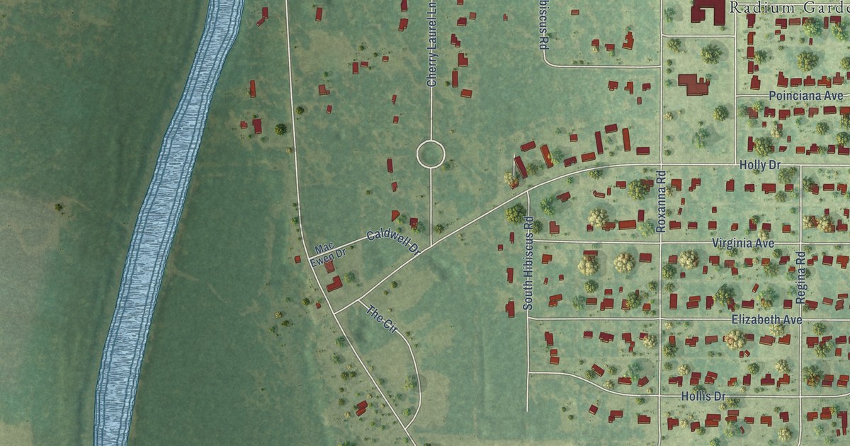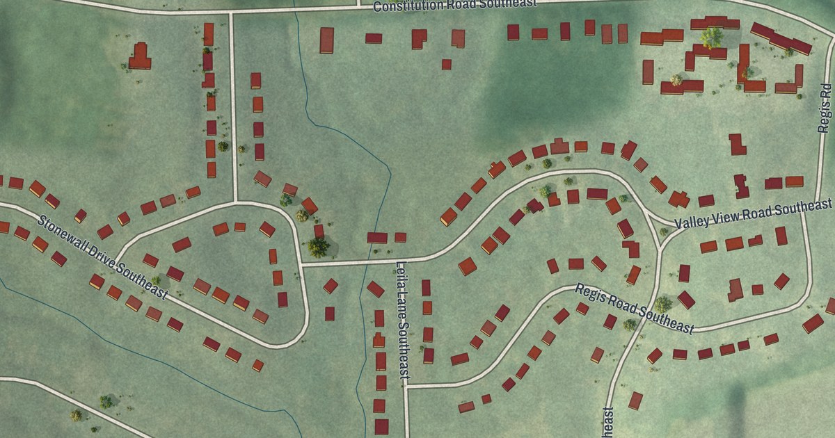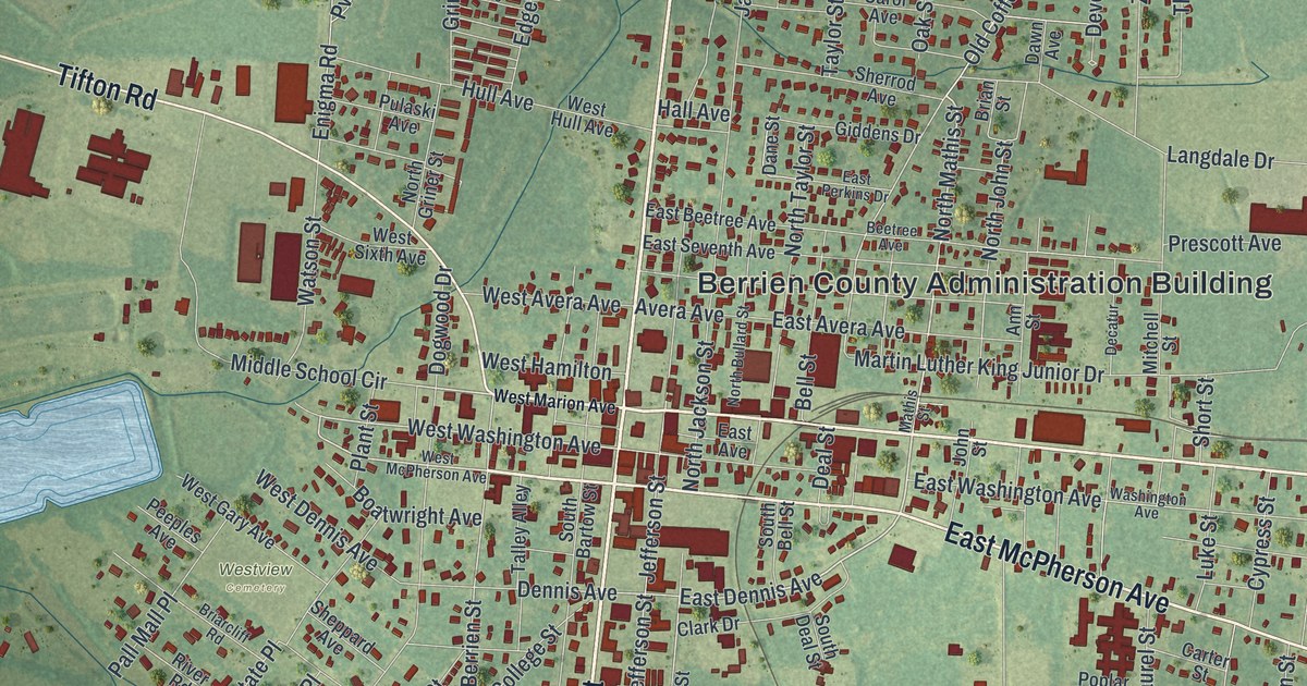
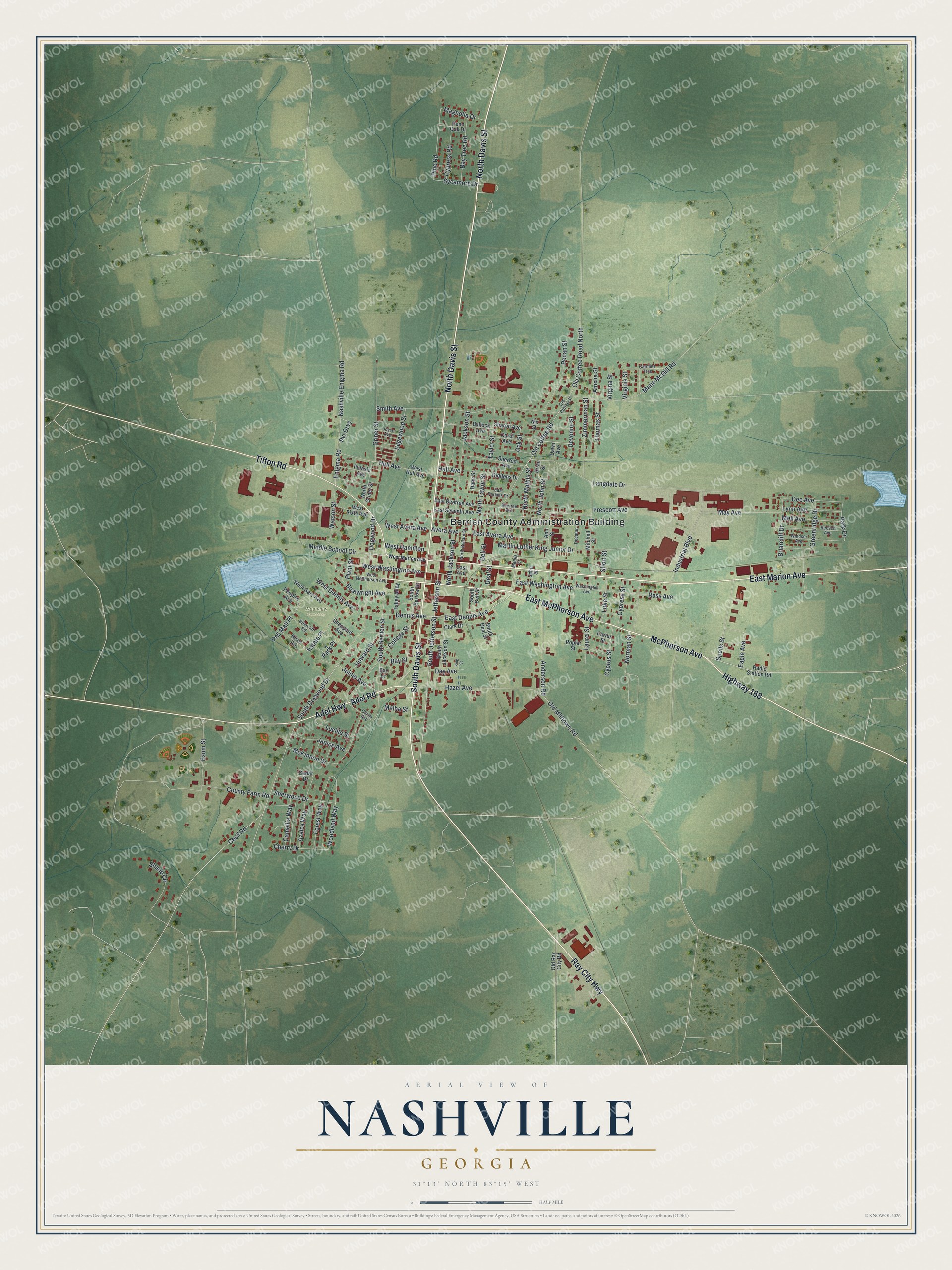
This beautifully detailed map of Nashville, Georgia was created in 2026 using aerial imagery combined with modern topographical, census, street and landmark data. It’s a one-of-a-kind view of Nashville that combines accurate data with a vintage aesthetic. The map shows every building in its true location, many of the roads carry their names, and the shaded topographic relief shows the shape of the land.
Explore an aerial view of Nashville, Georgia
On the map you’ll find Berrien County Administration Building and Westview Cemetery, along with Davis Street, Marion Avenue, McPherson Avenue, Ray City Highway, and more. If you look closely you can even find your house accurately drawn in its correct location. Zoom in on the preview to look for yours.
Did You Know?
Nashville was founded around 1840. When Berrien County was created in 1856, the town became its seat. People call it the City of Dogwoods, because those trees grow in large numbers all around the area.
Take a closer look at the Nashville map
Names on this map
These names are printed on this map.
Places: Berrien County Administration Building and Westview Cemetery.
Streets and roads: North Davis Street, South Davis Street, East Marion Avenue, McPherson Avenue, Highway 168, East McPherson Avenue, Ray City Highway, Tifton Road, Adel Road, Adel Highway, North Mathis Street, South Jefferson Street.
More street names, A to Z
Amelia Street, Anderson Road, Ann Street, Avera Avenue, Azalea Way, Bay Lane, Bay Street, Bay Tree Road, Beetree Avenue, Bell Street, Boatwright Avenue, Brian Street, Briarcliff Drive, Briarcliff Road, Bullock Avenue, Camellia Way, Carol Avenue, Carolina Trce, Carter Street, Cecil Road, Cedar Drive, Cherry Drive, Chism Avenue, Clark Drive, College Street, County Farm Road, Cypress Road, Cypress Street, Cyprus Street, Dane Street, Dawn Avenue, Day Avenue, Deal Street, Decatur, Dee Avenue, Dennis Avenue, Devonne Street, Dogwood Drive, Eagle Avenue, East Avenue, East Avera Avenue, East Beetree Avenue, East Dennis Avenue, East Perkins Drive, East Seventh Avenue, East Washington Avenue, Edgewood Street, Enigma Road, Estate Place, Exum Street, Forest Way, Giddens Drive, Greenridge Drive, Griner Street, Hall Avenue, Hazel Avenue, Howard Street, Hull Avenue, Industrial Boulevard, Jackson Street, Janice Avenue, Jefferson Street, John Street, Joiner Avenue, Joyce Avenue, King Street, Langdale Drive, Laurel Street, Lucille Street, Luke Street, Lynn Avenue, Magnolia Drive, Marie McGill Road, Martin Luther King Junior Drive, Mathis Street, May Avenue, McKinnon Drive, Melba Street, Mell Avenue, Middle School Circle, Mitchell Street, Nashville Enigma Road, Nix Street, Norman Street, North Bullard Street, North Griner Street, North Jackson Street, North John Street, North Taylor Street, Oak Street, Old Coffee Road, Old Coffee Road North, Old Coffee Street, Old Milltown Road, Old Ray City Road, Pall Mall Place, Park Drive, Park Place, Pecan Street, Peeples Avenue, Penn Oak Drive, Pine Road, Plant Street, Poplar Street, Prescott Avenue, Pulaski Avenue, Pvt Drvy, Radio Station Road, Reeves Avenue, River Road, Ross Avenue, Shane Circle, Sharon Avenue, Sheppard Avenue, Sherrod Avenue, Sherwood Drive, Short Street, Smith Avenue, South Bartow Street, South Bell Street, South Berrien Street, South Deal Street, South Dogwood Drive, South Jackson Street, Spells Street, Sycamore Drive, Talley Alley, Taylor Street, Thomas Street, Virgina Street, Virginia Street, Washington Avenue, Watson Street, West Avera Avenue, West Dennis Avenue, West Gary Avenue, West Hamilton, West Hull Avenue, West Marion Avenue, West McPherson Avenue, West Sixth Avenue, West Washington Avenue, Windsor Avenue, Woodland Way, Zimmerman Street.
See it on a wall
The Nashville map as a framed print. Swipe for more.


This beautifully detailed map of Nashville makes an attractive addition to your office, library, or den, and it can even be used to teach children the geography and history of the area. It also makes a great gift for someone who left Nashville and still calls it home. When you’re done exploring, click here to get your copy of the Nashville map.