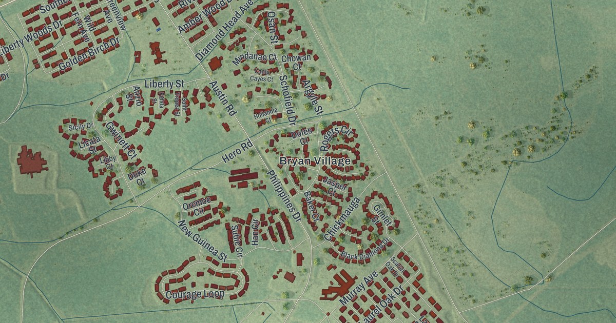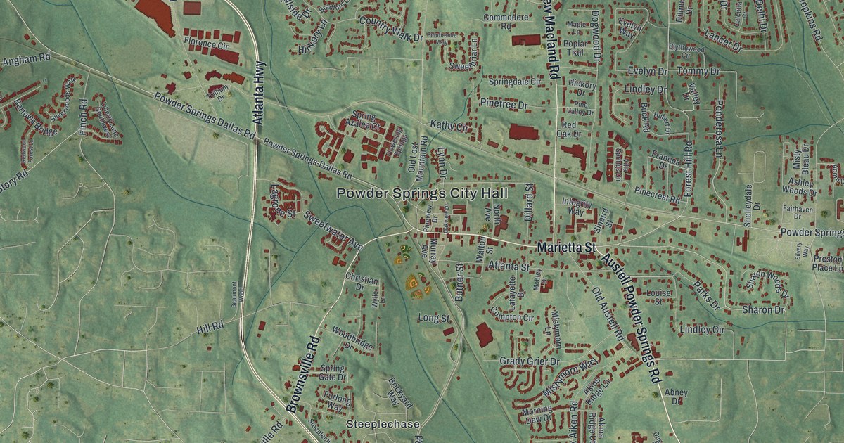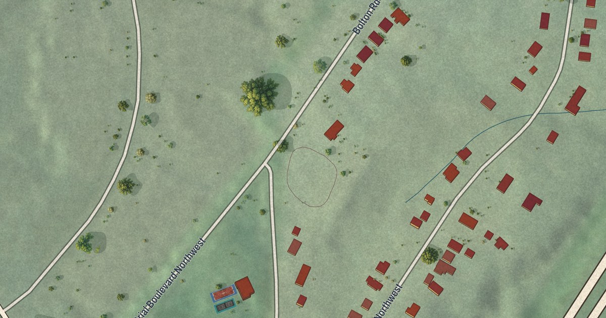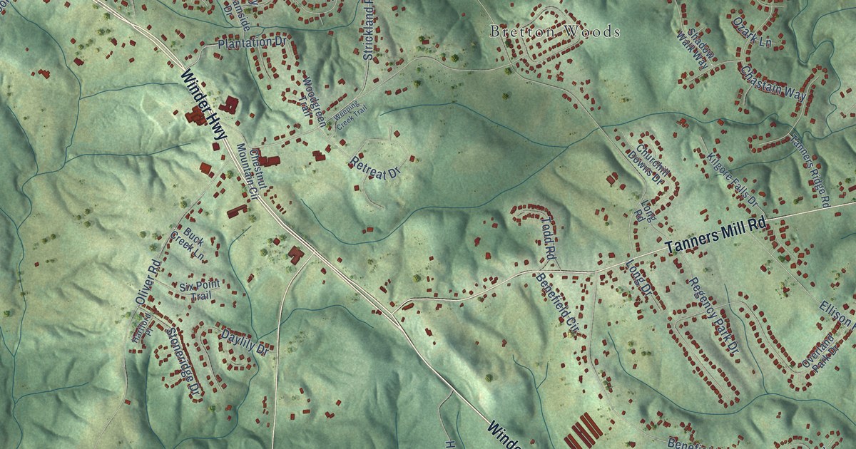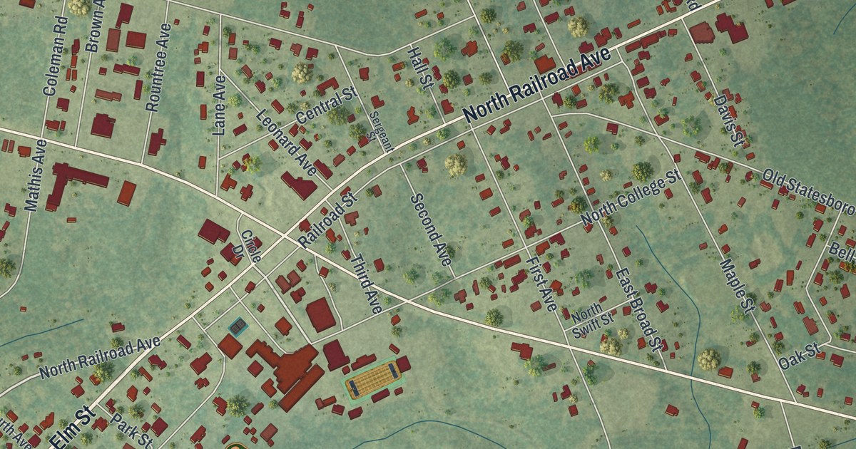
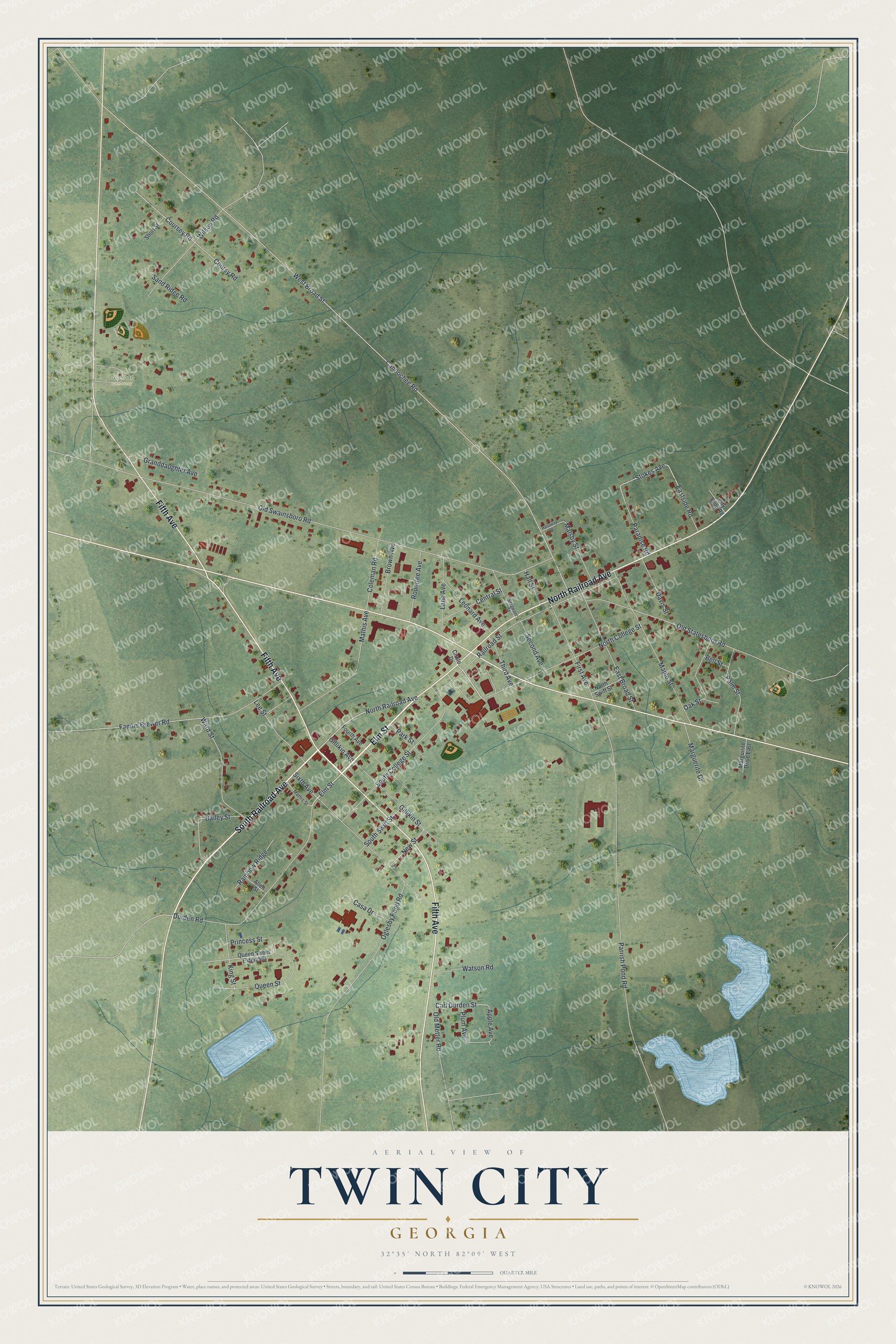
This beautifully detailed map of Twin City, Georgia was created in 2026 using aerial imagery combined with modern topographical, census, street and landmark data. It’s a one-of-a-kind view of Twin City that combines accurate data with a vintage aesthetic. The map shows every building in its true location, many of the roads carry their names, and the shaded topographic relief shows the shape of the land.
Explore an aerial view of Twin City, Georgia
On the map you’ll find Coleman Cemetery, along with Elm Street, Railroad Avenue, Fifth Avenue, College Street, Queen Street, and more. If you look closely you can even find your house accurately drawn in its correct location. Zoom in on the preview to look for yours.
Did You Know?
Twin City was born in 1924, when two rival towns side by side, Graymont and Summit, merged into one. The new name honors that pair. Today 255 acres of the city make up the Twin City Historic District. That district is on the National Register of Historic Places and holds the old jail and former city hall.
Take a closer look at the Twin City map
Names on this map
These names are printed on this map.
Places: Coleman Cemetery.
Streets and roads: Elm Street, South Railroad Avenue, Fifth Avenue, North Railroad Avenue, North College Street, Queen Street, Stokes Avenue, Carl Durden Street, Canoochee Road, West Broad Street, Old Swainsboro Road, Parrish Pond Road.
More street names, A to Z
Allen Street, Apple Avenue, Bailey Street, Bell Street, Brown Avenue, Casa Drive, Central Street, Circle Drive, City Shop Road, Coleman Road, Coursey Road, Coursy Road, Davis Street, Durden Road, East Broad Street, Eastside Road, Fannie Brewer Road, First Avenue, Fourth Avenue, Gillikin Avenue, Gillikin Street, Granddaughter Avenue, Hall Street, Hattaway Street, King Street, Lane Avenue, Lee Street, Leonard Avenue, Malsby Street, Maple Street, Marguerite Drive, Marguirite Drive East, Mathis Avenue, Mathis Street, New Street, North Swift Street, Oak Street, Oglesby Pond Road, Old Metter Road, Old Statesboro Road, Palm Street, Paradise Road, Park Street, Plum Avenue, Princess Street, Queen Street Extended, Railroad Street, Rainbow Ridge, Rountree Avenue, Sand Ridge Road, Second Avenue, Sergeant Street, Short Street, Sixth Avenue, South College Street, South Swift Street, Third Avenue, Ward Street, Watson Road, Wilson Road.
See it on a wall
The Twin City map as a framed print. Swipe for more.


This beautifully detailed map of Twin City makes an attractive addition to your office, library, or den, and it can even be used to teach children the geography and history of the area. It also makes a great gift for someone who left Twin City and still calls it home. When you’re done exploring, click here to get your copy of the Twin City map.