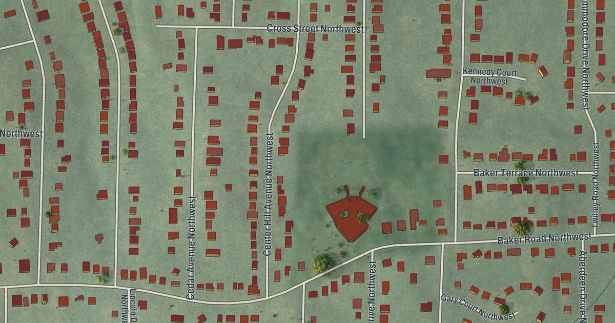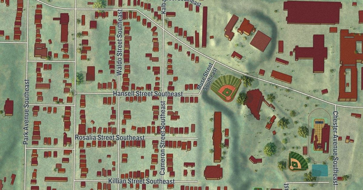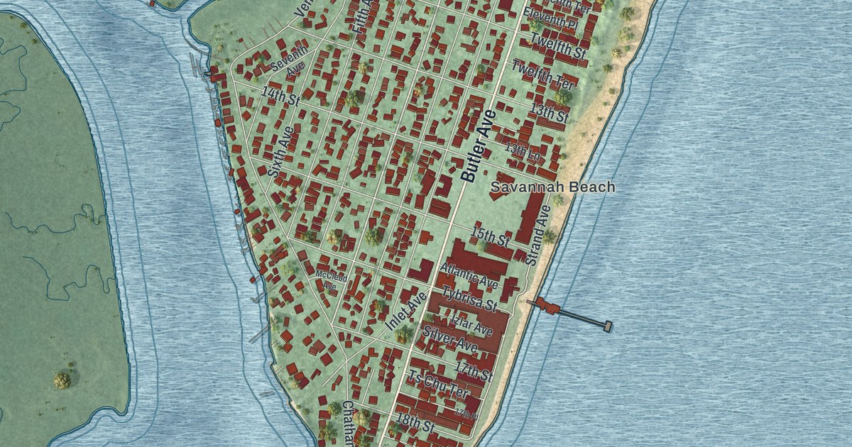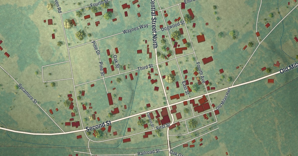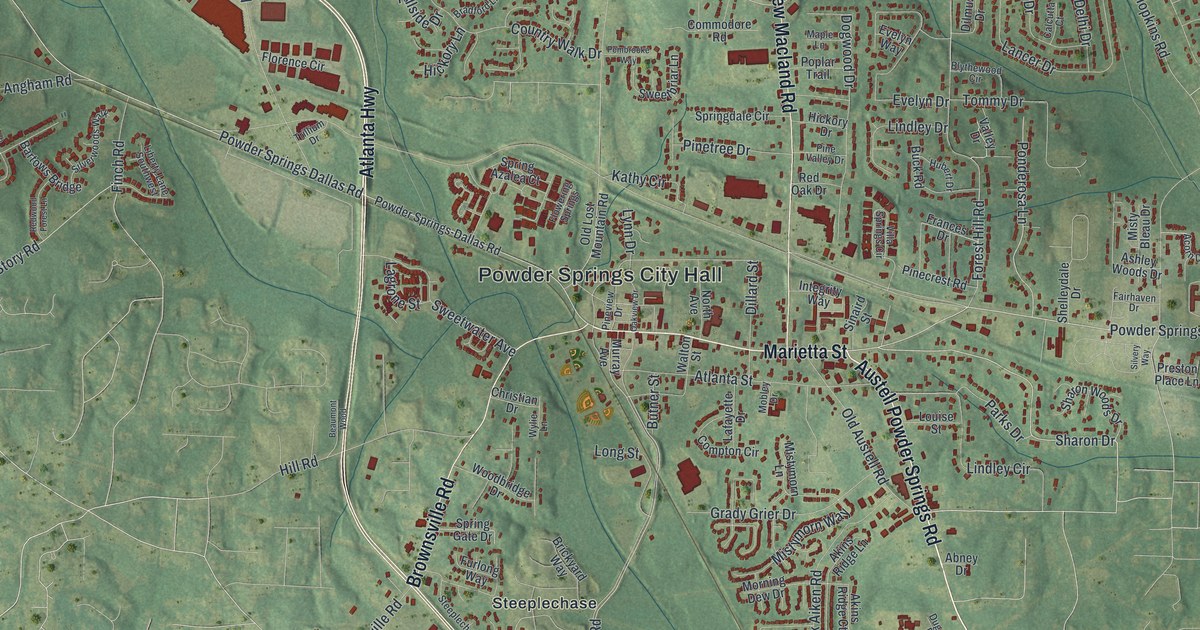
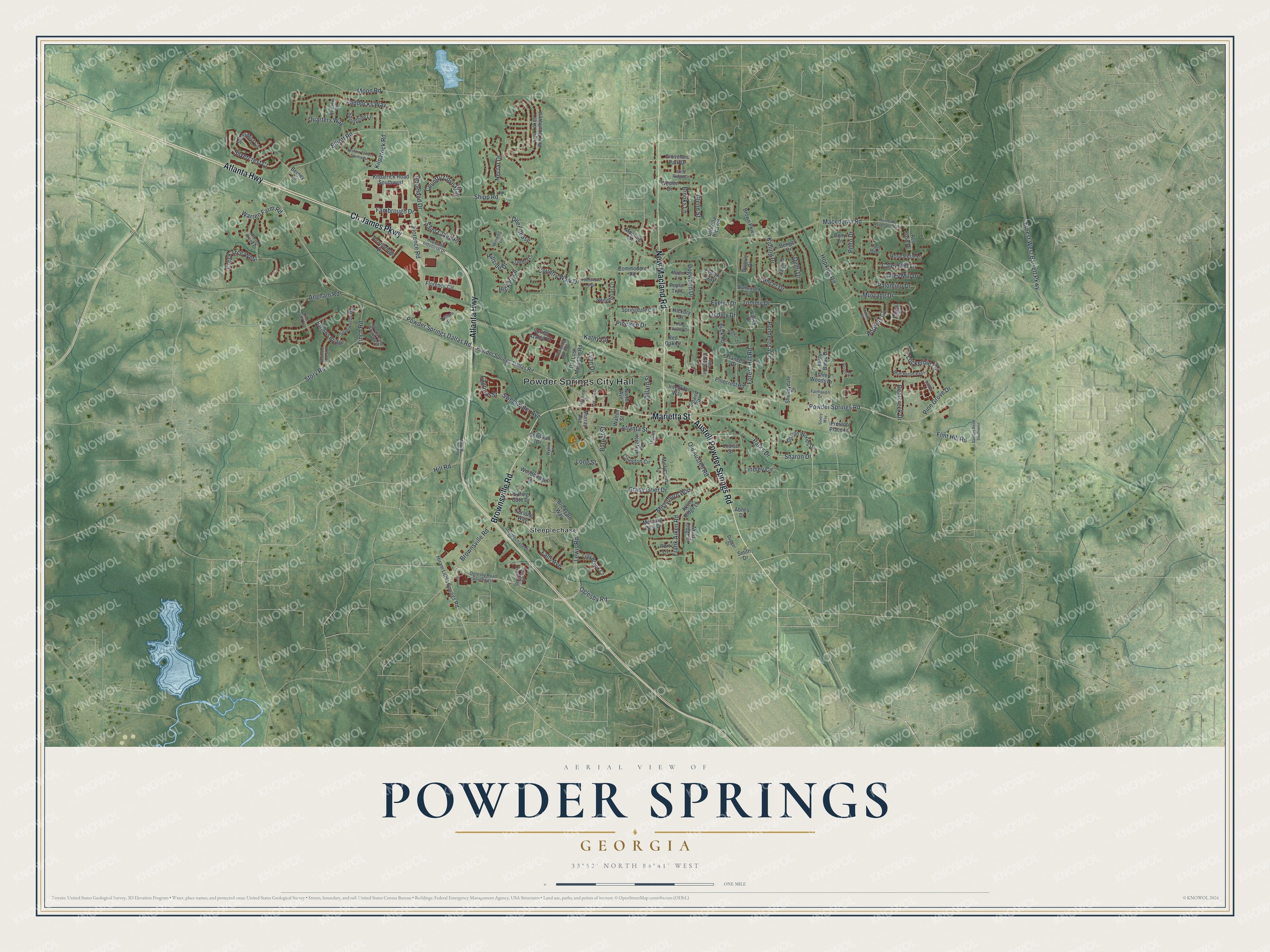
This beautifully detailed map of Powder Springs, Georgia was created in 2026 using aerial imagery combined with modern topographical, census, street and landmark data. It’s a one-of-a-kind view of Powder Springs that combines accurate data with a vintage aesthetic. The map shows every building in its true location, many of the roads carry their names, and the shaded topographic relief shows the shape of the land.
Explore an aerial view of Powder Springs, Georgia
On the map you’ll find Powder Springs City Hall and Steeplechase, along with Austell Powder Springs Road, Marietta Street, Atlanta Highway, New Macland Road, and more. If you look closely you can even find your house accurately drawn in its correct location. Zoom in on the preview to look for yours.
Did You Know?
Powder Springs began as Springville, incorporated in 1838 on land of two Cherokee leaders. It took the name Powder Springs in 1859. The name came from seven springs in town. Their water carries some 26 minerals that turn the nearby sand black like gunpowder.
Take a closer look at the Powder Springs map
Names on this map
These names are printed on this map.
Places: Powder Springs City Hall and Steeplechase.
Streets and roads: Austell Powder Springs Road, Marietta Street, Atlanta Highway, New Macland Road, Ch James Parkway, Brownsville Road, Powder Springs Road, Powder Springs Dallas Road, Oglesby Road, Sharon Drive, Elliott Road, Lewis Road.
More street names, A to Z
Abbott Lane, Abney Drive, Acorn Drive, Akins Ridge Court, Akins Ridge Lane, Angham Road, Ashley Woods Drive, Atlanta Street, Bartows Bridge, Beaumont Wood, Bengal Drive, Berney Circle, Birch Haven Trce, Blue Heron Pass, Blythewood Circle, Bradford Lane, Brickyard Way, Brooks Lane, Brown Parkway, Buck Road, Butner Street, Calcutta Court, Caleb Crossing, Caley Mill Court, Caley Mill Drive, Caley Mill Lane, Christian Drive, Chrys Street, Commodore Road, Compton Circle, Country Cove Way, Country Walk Drive, Creek Trce West, Deer Chase, Deercreek Drive, Delhi Drive, Dillard Street, Dilmus Drive, Dogwood Drive, Dugger Drive, Ernest West Barrett Parkway, Evelyn Drive, Evelyn Way, Fairhaven Drive, Falls Avenue, Fambrough Drive, Finch Road, Flint Hill Road, Florence Circle, Florence Road, Flowering Springs, Forest Hill Road, Frances Drive, Frank Aiken Road, Furlong Way, Glenn Street, Grady Grier Drive, Groveland Park Drive, Hickory Drive, Hickory Lane, Hill Road, Hillside Drive, Hiram Lithia Springs Road, Hopeland Drive, Hopeland Industrial Drive, Hopkins Court, Hopkins Cts, Hopkins Road, Hubert Drive, Integrity Way, Kathy Circle, Kilpatrick Road, Kilpatrick Road Southwest, Kipling Drive, Lafayette Drive, Lagrone Street, Lancer Drive, Liberty Lane Southwest, Lilly Brook Court, Lindley Circle, Lindley Drive, Lockerbie Lane, Long Street, Lost Lakes Way Southwest, Louise Street, Lynn Drive, Macedonia Road, Macedonia Road Southwest, Maple Lane, Misty Bleau Drive, Mistymorn Lane, Mistymorn Way, Mobley Drive, Moon Road, Mooring Drive, Morning Dew Drive, Murray Avenue, Mustang Drive, Nectar Drive, North Avenue, Oakview Drive, Oglesby Road Southwest, Old Austell Road, Old Lost Mountain Road, Old Villa Rica Road, Paddocks Way, Palomino Drive, Parks Drive, Pembrooke Way, Pinecrest Road, Pine Grove Drive, Pinetree Drive, Pine Valley Drive, Pineview Drive, Pinto Drive, Ponderosa Lane, Pony Lane, Poplar Trail, Port Lane, Powder Springs-Dallas Road, Preston Place Lane, Quarters Lane, Quarters Way, Red Oak Drive, Red Rose Drive, Redwood Forest Lane, Rose Petal Lane, Saint Claire Place, Sanders Road Southwest, Sharon Woods Drive, Shelleydale Drive, Shipp Road, Silvercrest Court, Silver Mist Circle, Silverwoods Walk, Silvery Way, Sinaird Street, Smith Drive, Spring Azalea Court, Springdale Circle, Spring Gate Drive, Springtide Lane, Steeplechase Drive, Story Road, Sweetbriar Lane, Sweetwater Avenue, Thornbridge Drive, Tommy Drive, Trillium Drive, Valley Drive, Villa Springs Circle, Vine Ridge Drive, Walton Street, Warren Creek Drive, Warren Farm Road, Weston Drive, Winding Lane, Woodbridge Drive, Wylie Lane, Yoshino Terrace Southwest.
See it on a wall
The Powder Springs map as a framed print. Swipe for more.


This beautifully detailed map of Powder Springs makes an attractive addition to your office, library, or den, and it can even be used to teach children the geography and history of the area. It also makes a great gift for anyone who grew up in Powder Springs or moved away. When you’re done exploring, click here to get your copy of the Powder Springs map.