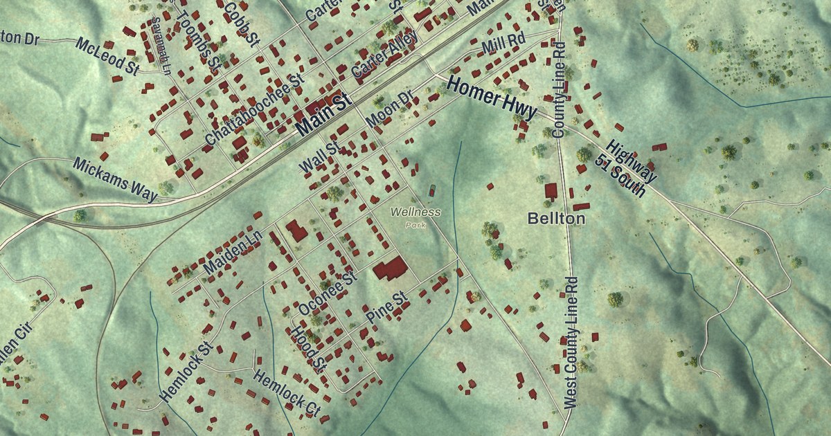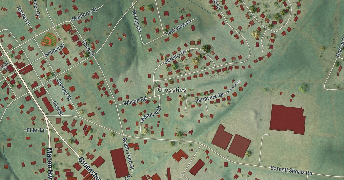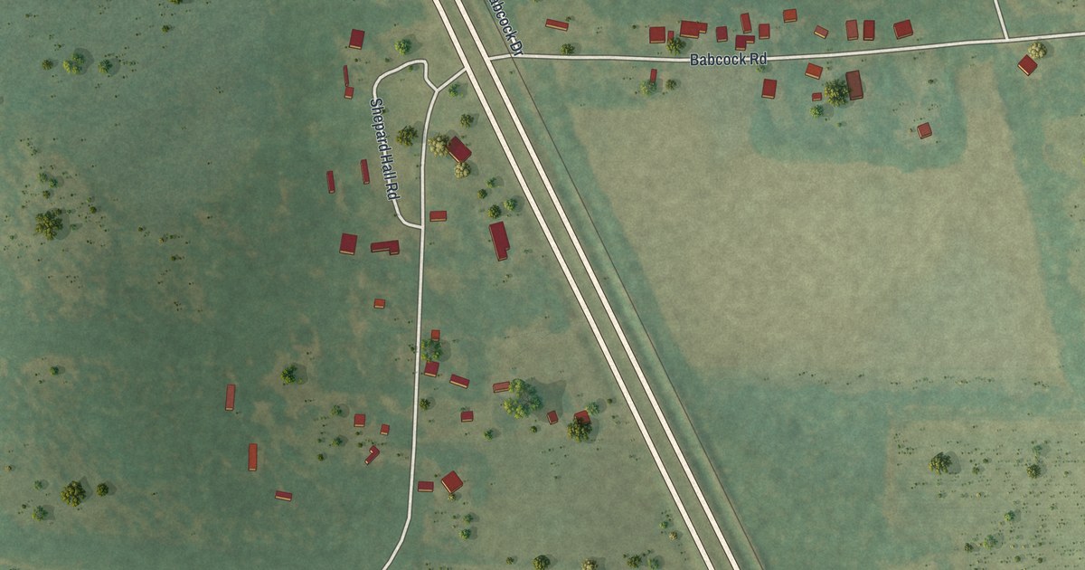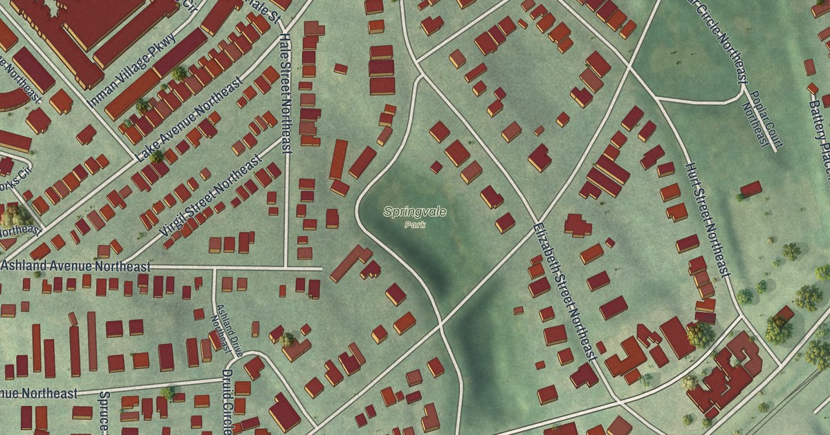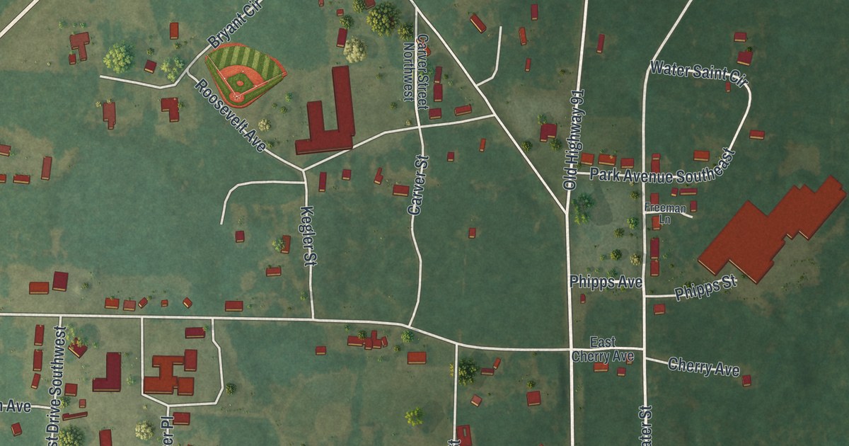
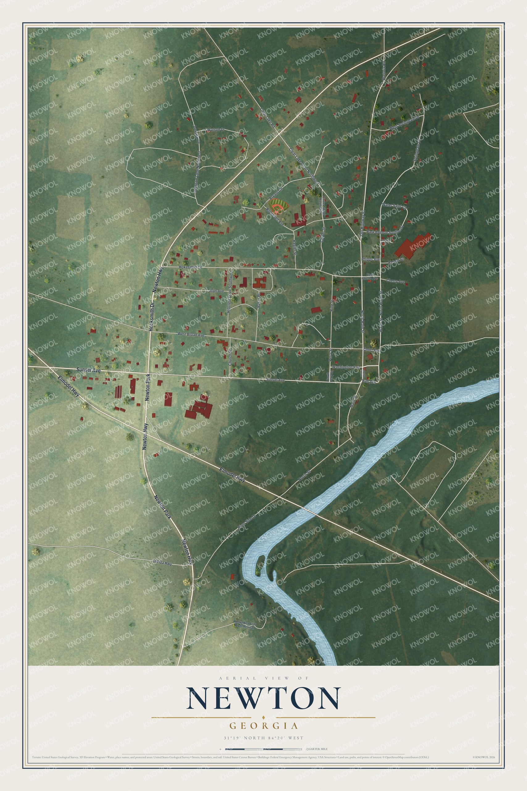
This beautifully detailed map of Newton, Georgia was created in 2026 using aerial imagery combined with modern topographical, census, street and landmark data. It’s a one-of-a-kind view of Newton that combines accurate data with a vintage aesthetic. The map shows every building in its true location, many of the roads carry their names, and the shaded topographic relief shows the shape of the land.
Explore an aerial view of Newton, Georgia
On the map you’ll find Newton Park, along with Newton Highway, Elmodel Highway, Sunset Avenue, Hocksmith Drive, and more. If you look closely you can even find your house accurately drawn in its correct location. Zoom in on the preview to look for yours.
Did You Know?
Newton was named for Sergeant John Newton, a hero of the Revolutionary War. The Flint River has flooded the town again and again. The courthouse, built in 1906, was damaged by floods in 1925, 1929 and 1994. It was repaired and now holds the public library and the historical society. That’s from the New Georgia Encyclopedia.
Take a closer look at the Newton map
Names on this map
These names are printed on this map.
Places: Newton Park.
Streets and roads: Newton Highway, Elmodel Highway, Sunset Avenue, Hocksmith Drive, North Main Street, Washington Avenue, Old Highway 91, Hall Avenue, Phipps Avenue, Water Street, North Water Street, Perry Street.
More street names, A to Z
Baker Place, Bryant Circle, Carver Street, Carver Street Northwest, Cherry Avenue, Church Street, Clear Lake Road, Clear Lake Road Northwest, Court Avenue, East Cherry Avenue, Freeman Lane, Hillcrest Drive Southwest, Hokesmith Drive, Joan Avenue, Johnathan Drive, Johnson Lane Northwest, Kegler Street, Main Street, Norris Street, Old Ga Highway, Park Avenue Southeast, Phipps Street, Pine Street, Pretoria Road, River Side Drive, Rocky Ben Flint River Retreat, Roosevelt Avenue, South Main Street, South Perry Street, Springdale Drive, Water Saint Circle, Watson Drive, West Broad Avenue, West Springdale Drive.
See it on a wall
The Newton map as a framed print. Swipe for more.


This beautifully detailed map of Newton makes an attractive addition to your office, library, or den, and it can even be used to teach children the geography and history of the area. It also makes a great gift for someone who left Newton and still calls it home. When you’re done exploring, click here to get your copy of the Newton map.