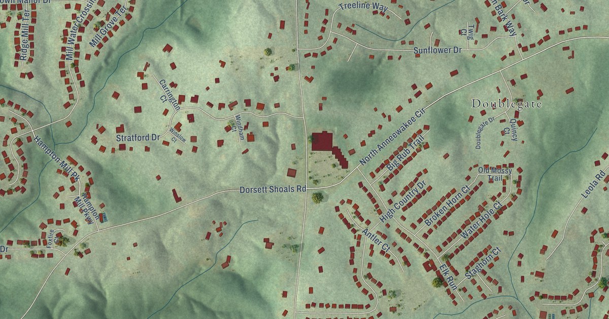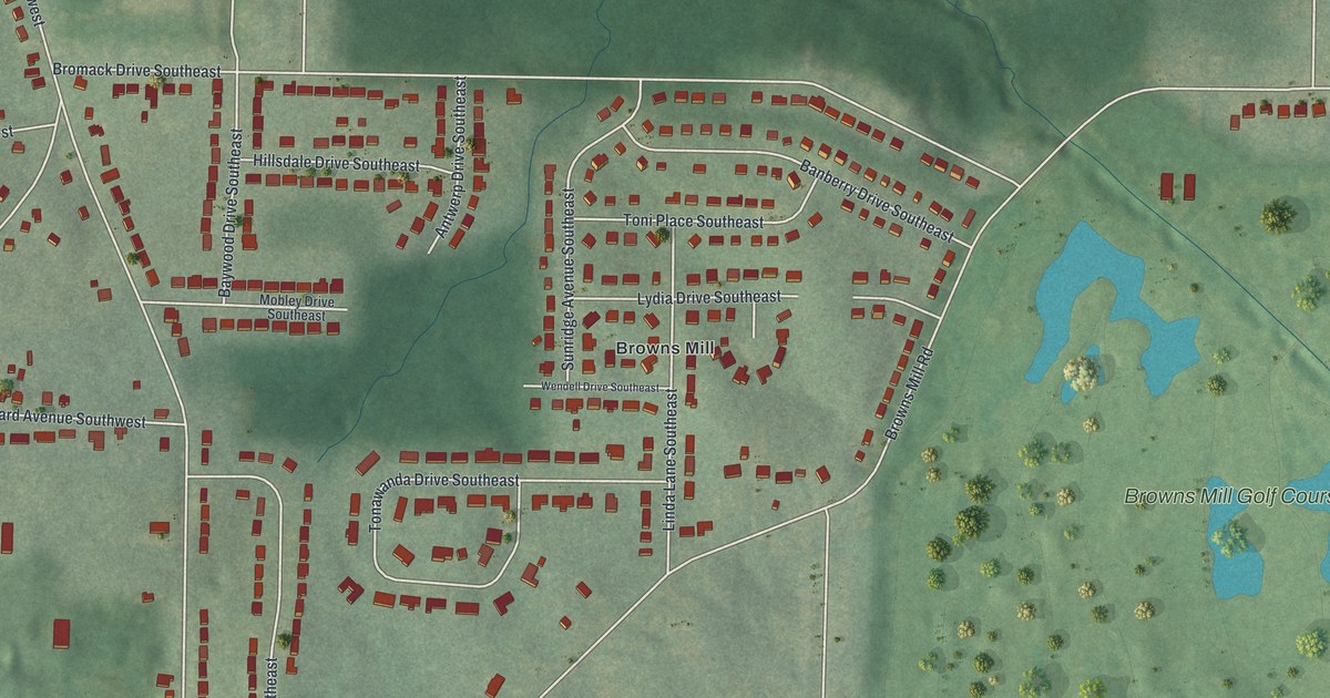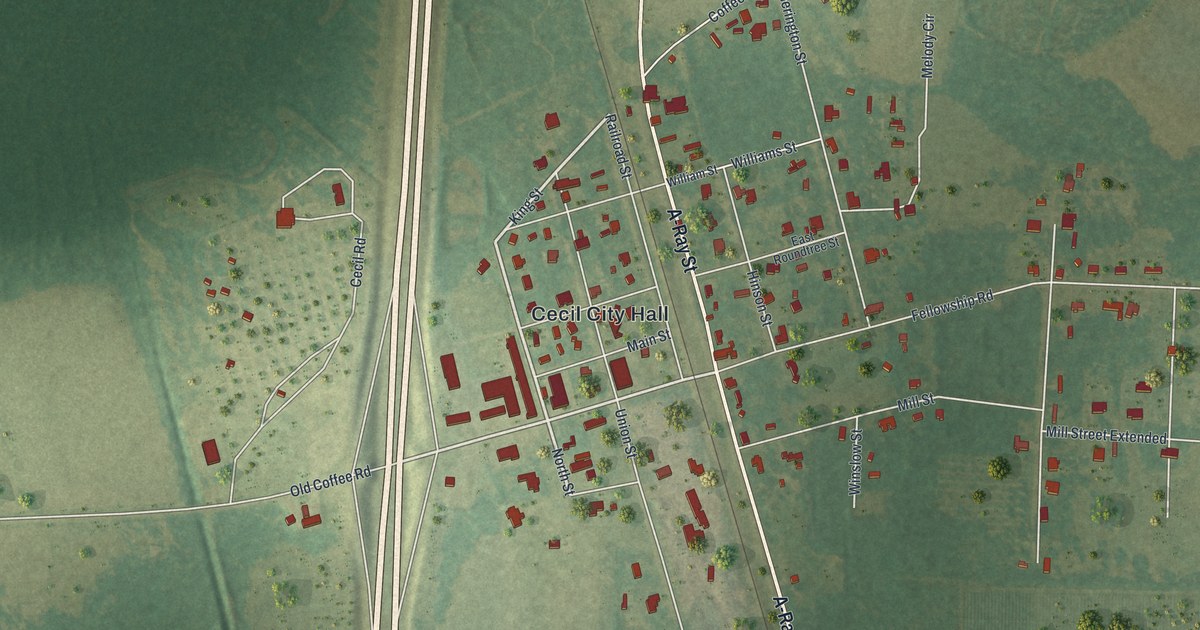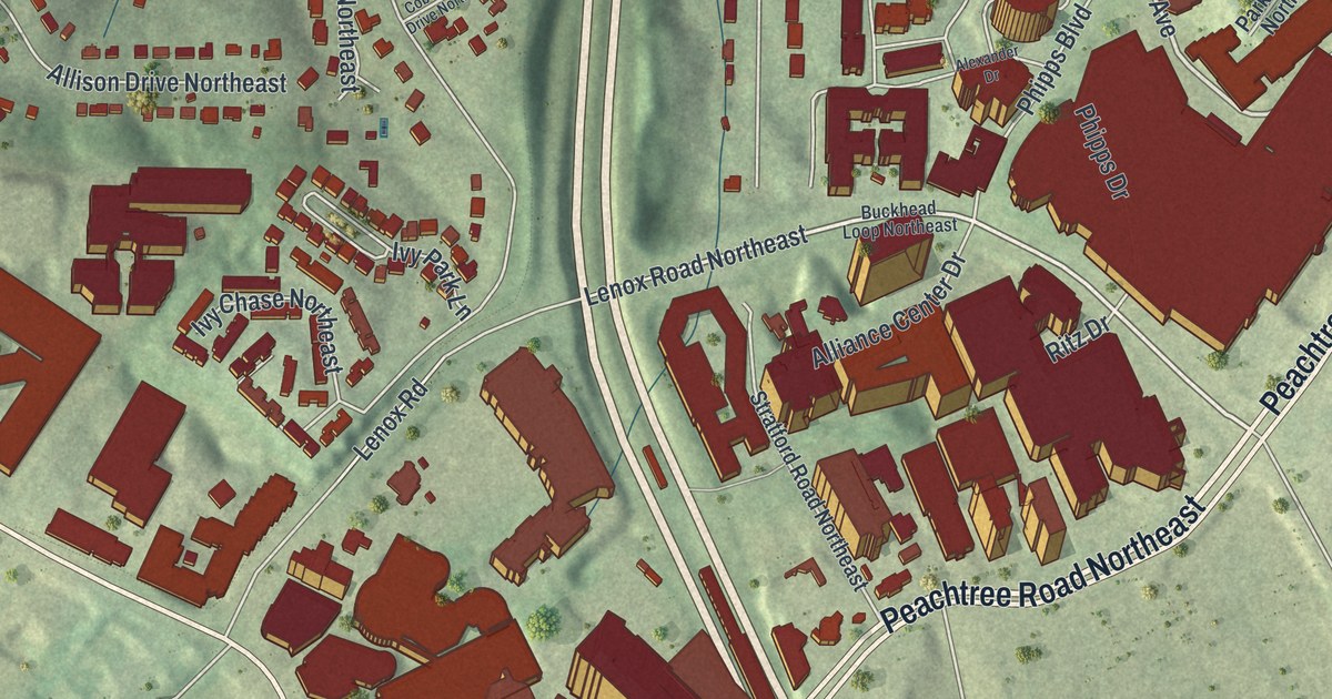
This beautifully detailed map of North Buckhead, Georgia was created in 2026 using aerial imagery combined with modern topographical, census, street and landmark data. It’s a one-of-a-kind view of North Buckhead that combines accurate data with a vintage aesthetic. The map shows every building in its true location, many of the roads carry their names, and the shaded topographic relief shows the shape of the land.
Explore an aerial view of North Buckhead, Georgia
On the map you’ll find Blue Heron Nature Preserve, along with Peachtree Road, Roswell Road, Peachtree Street, Piedmont Road, Park Avenue, and more. If you look closely you can even find your house accurately drawn in its correct location. Zoom in on the preview to look for yours.
Take a closer look at the North Buckhead map
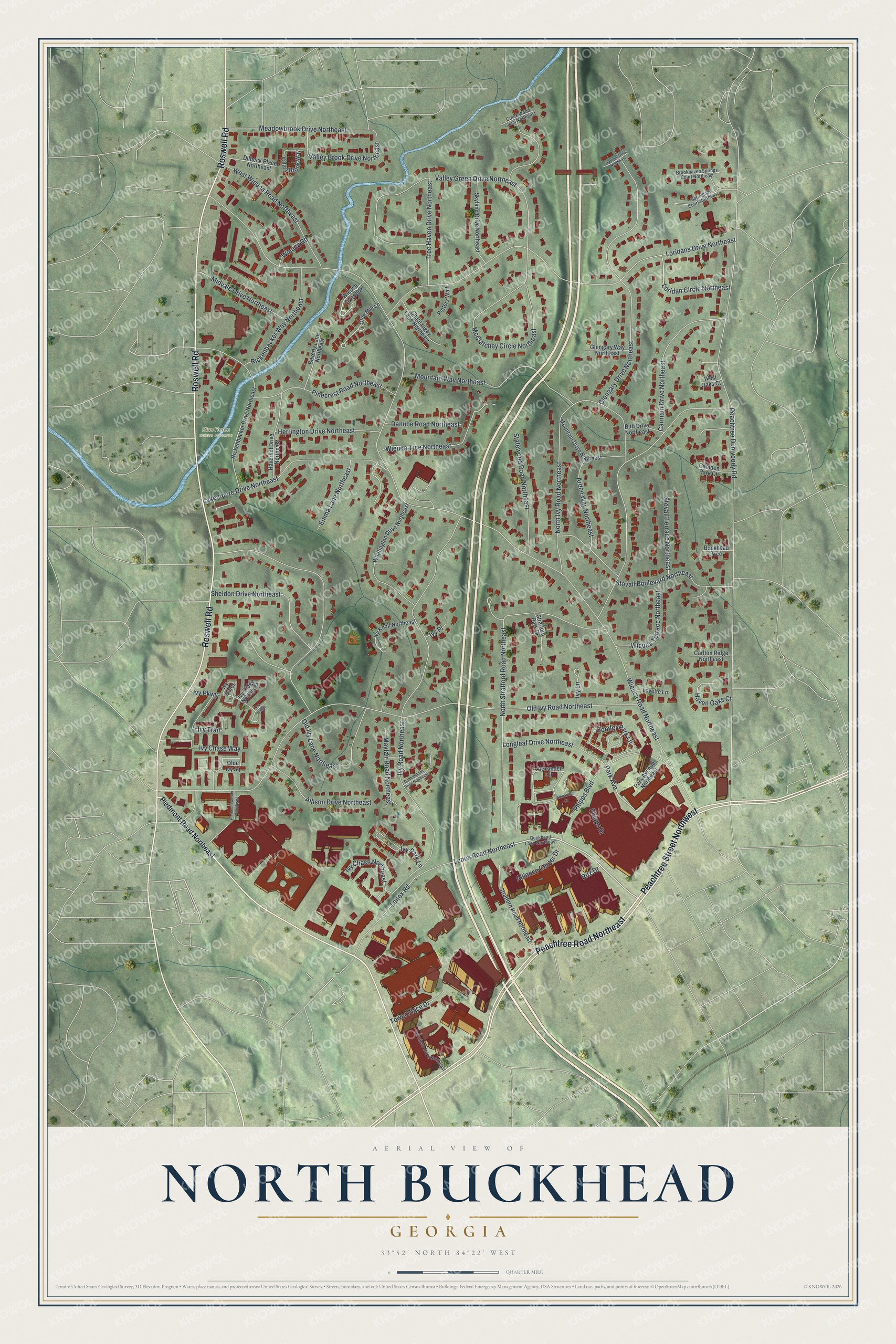
Names on this map
These names are printed on this map.
Places: Blue Heron Nature Preserve.
Streets and roads: Peachtree Road Northeast, Roswell Road, Peachtree Street Northwest, Park Avenue, Wieuca Road Northeast, North Stratford Road Northeast, Ivy Road Northeast, Old Ivy Road Northeast, Loridans Drive Northeast, Valley Green Drive Northeast, Glengary Drive Northeast, North Ivy Road Northeast.
More street names, A to Z
Alexander Circle, Alexander Drive, Alliance Center Drive, Allison Drive Northeast, Arden Way Northeast, Beverly Lane Northeast, Brookhaven Springs Court Northeast, Buckhead Loop Northeast, Buckhead Trce, Buff Drive Northeast, Camden Park Court, Carlton Ridge Northeast, Carmain Drive Northeast, Chateaugay Lane Northeast, Cobblestone Drive Northeast, Conifer Park Lane, Creek Wood Close Northeast, Danube Road Northeast, Dilbeck Place Northeast, Emma Lane Northeast, Glengary Way Northeast, Haven Oaks Court, Haverhill Drive Northeast, Herrington Drive Northeast, Ivy Chase Northeast, Ivy Chase Way, Ivy Gates, Ivy Knoll Northeast, Ivy Lane, Ivy Park Lane, Ivy Parkway, Ivy Place, Ivy Ridge, Ivy Ridge Northeast, Ivy Trail, Lakemoore Drive Northeast, Lenox Road, Lenox Road Northeast, Longleaf Drive Northeast, Loridan Circle Northeast, Lovette Lane, Mayfair Road Northeast, McClatchey Circle Northeast, Meadowbrook Drive Northeast, Midvale Drive Northeast, Mountain Drive Northeast, Mountain Way Northeast, Olde Ivy Square, Olde Mill Lane, Old Ivy Lane Northeast, Park Avenue Northeast, Peachtree Dunwoody Road, Phipps Boulevard, Phipps Drive, Piedmont Center Northeast, Piedmont Road Northeast, Pinecrest Road Northeast, Potters Walk, Rickenbacker Drive Northeast, Rickenbacker Way Northeast, Ritz Drive, Sheldon Drive Northeast, Skyland Drive Northeast, Springside Court Northeast, Starlight Drive Northeast, Statewood Road Northeast, Stovall Boulevard Northeast, Stovall Terrace Northeast, Stratford Park Drive, Stratford Road Northeast, Terminus Drive Northeast, Tower Place Drive, Tree Haven Drive Northeast, Valley Brook Drive Northeast, Valley Brook Way, West Oaks Court, West Wieuca Road Northeast, Whittington Drive Northeast, Wieuca Overlook, Wieuca Road, Wieuca Terrace Northeast, Wieuca Trce Northeast.
See it on a wall
The North Buckhead map as a framed print. Swipe for more.


This beautifully detailed map of North Buckhead makes an attractive addition to your office, library, or den, and it can even be used to teach children the geography and history of the area. It also makes a great gift for someone who left North Buckhead and still calls it home. When you’re done exploring, click here to get your copy of the North Buckhead map.