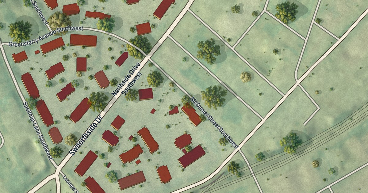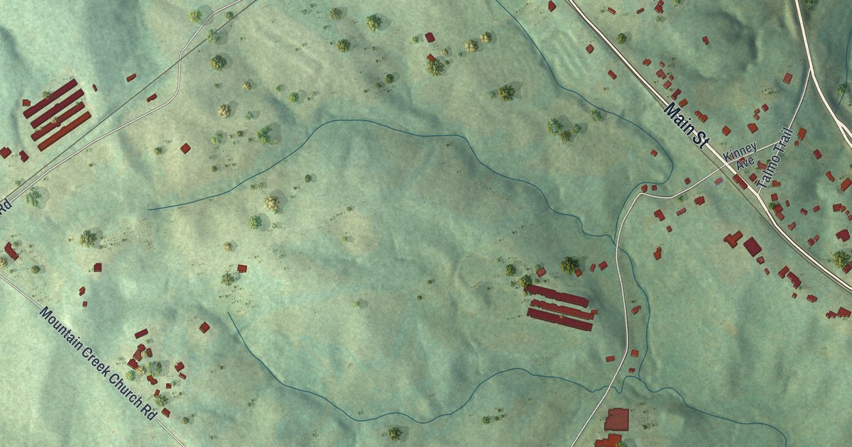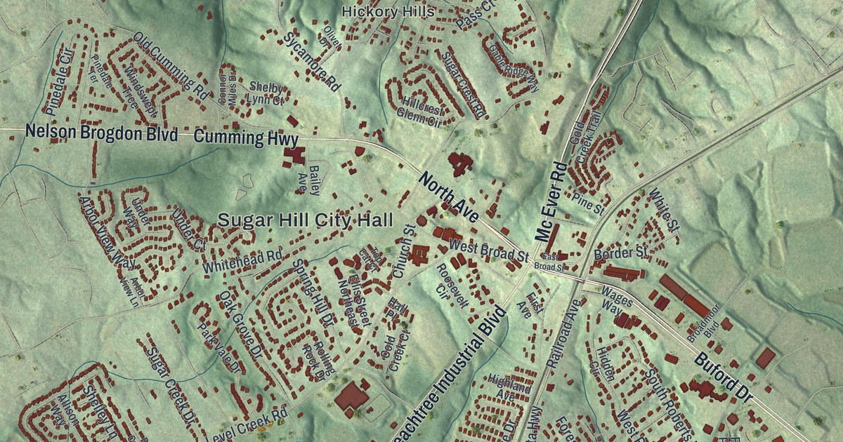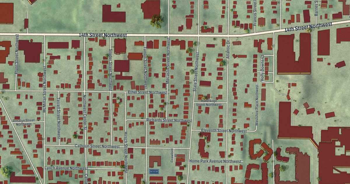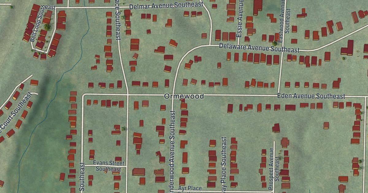
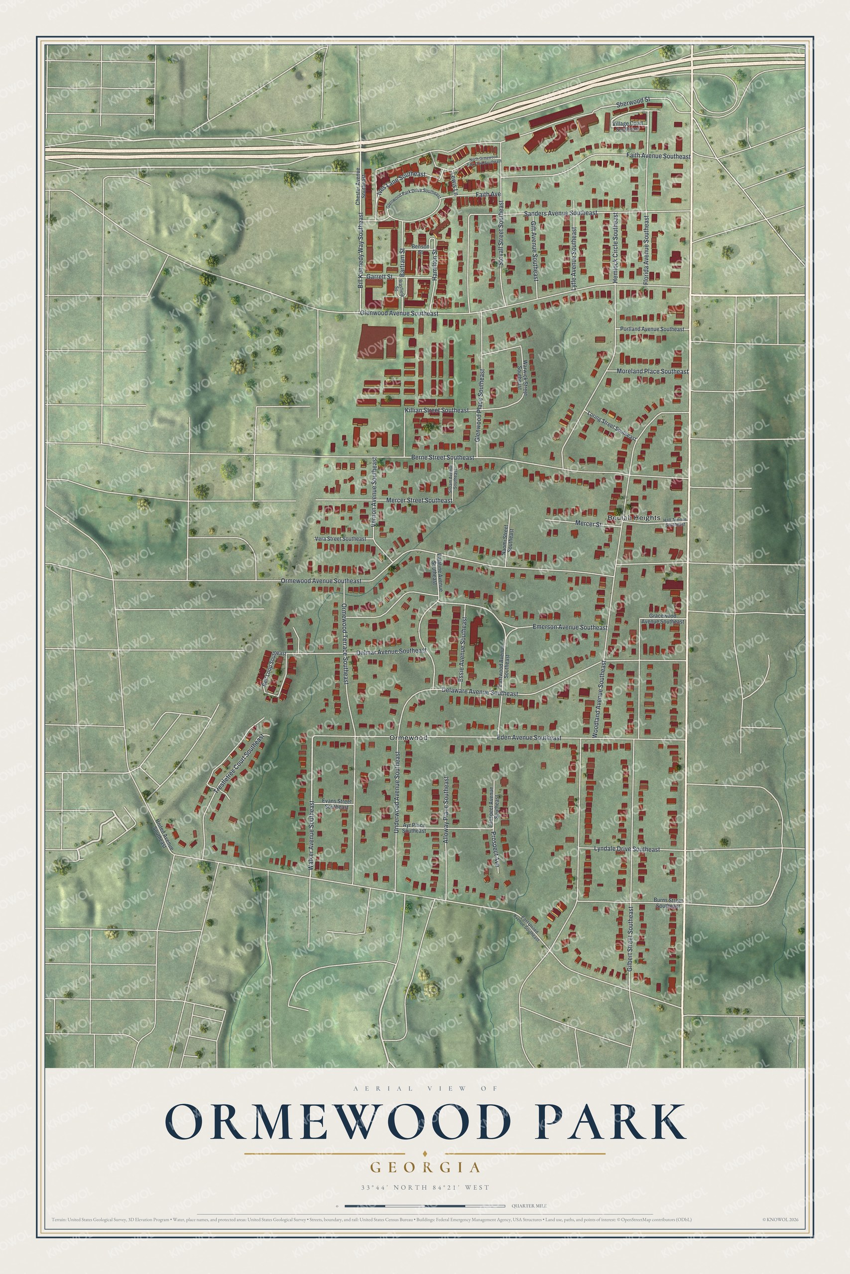
This beautifully detailed map of Ormewood Park, Georgia was created in 2026 using aerial imagery combined with modern topographical, census, street and landmark data. It’s a one-of-a-kind view of Ormewood Park that combines accurate data with a vintage aesthetic. The map shows every building in its true location, many of the roads carry their names, and the shaded topographic relief shows the shape of the land.
Explore an aerial view of Ormewood Park, Georgia
On the map you’ll find Beulah Heights and Ormewood, along with Walker Avenue, Woodland Avenue, Ormewood Avenue, Eden Avenue, Gilbert Street, and more. If you look closely you can even find your house accurately drawn in its correct location. Zoom in on the preview to look for yours.
Did You Know?
Ormewood Park began in 1892, when Samuel W. Goode and Company split a 100-acre tract into lots for sale. A trolley line had reached the area in 1891. It first used steam dummy trains and switched to electric trolleys in 1894. Atlanta annexed the neighborhood in 1922.
Take a closer look at the Ormewood Park map
Names on this map
These names are printed on this map.
Places: Beulah Heights and Ormewood.
Streets and roads: Walker Avenue Southeast, Woodland Avenue Southeast, Ormewood Avenue Southeast, Eden Avenue Southeast, Gilbert Street Southeast, Berne Street Southeast, Glenwood Avenue Southeast, Delaware Avenue Southeast, Ormewood Terrace Southeast, Emerson Avenue Southeast, Stovall Street Southeast, Hemlock Circle Southeast.
More street names, A to Z
Alloway Place Southeast, Ayr Place Southeast, Bartram Street, Belt Loop Southeast, Benson Street, Bill Kennedy Way Southeast, Brasfield Square, Burns Street Southeast, Chester Avenue Southeast, Delmar Avenue Southeast, East United Avenue Southeast, Eastwood Avenue Southeast, Essie Avenue Southeast, Evans Street Southeast, Faith Avenue, Faith Avenue Southeast, Florida Avenue Southeast, Garrett Street, Gift Avenue Southeast, Glenwood Park Drive Southeast, Glenwood Place Southeast, Gracewood Avenue Southeast, Hall Avenue Southeast, Hamilton Street, Ives Lane Southeast, Killian Street Southeast, Lewis Lane, Loring Street Southeast, Lyndale Drive Southeast, Lytle Avenue Southeast, Mercer Street, Mercer Street Southeast, Moreland Place Southeast, Naomi Street Southeast, North Ormewood Park Drive Southeast, Palatine Avenue Southeast, Portland Avenue Southeast, Prospect Avenue, Prospect Avenue Southeast, Sanders Avenue Southeast, Sherwood Street, Siloam Avenue Southeast, Trestletree Court Southeast, Underwood Avenue Southeast, United Avenue Southeast, Vera Street Southeast, Vernon Avenue Southeast, Village Court Southeast, Warwick Street Southeast.
See it on a wall
The Ormewood Park map as a framed print. Swipe for more.


This beautifully detailed map of Ormewood Park makes an attractive addition to your office, library, or den, and it can even be used to teach children the geography and history of the area. It also makes a great gift for someone who left Ormewood Park and still calls it home. When you’re done exploring, click here to get your copy of the Ormewood Park map.