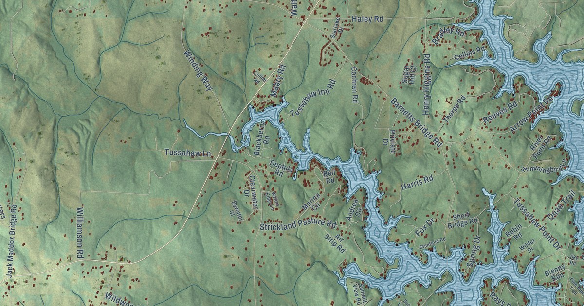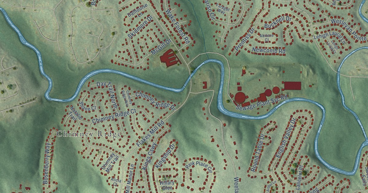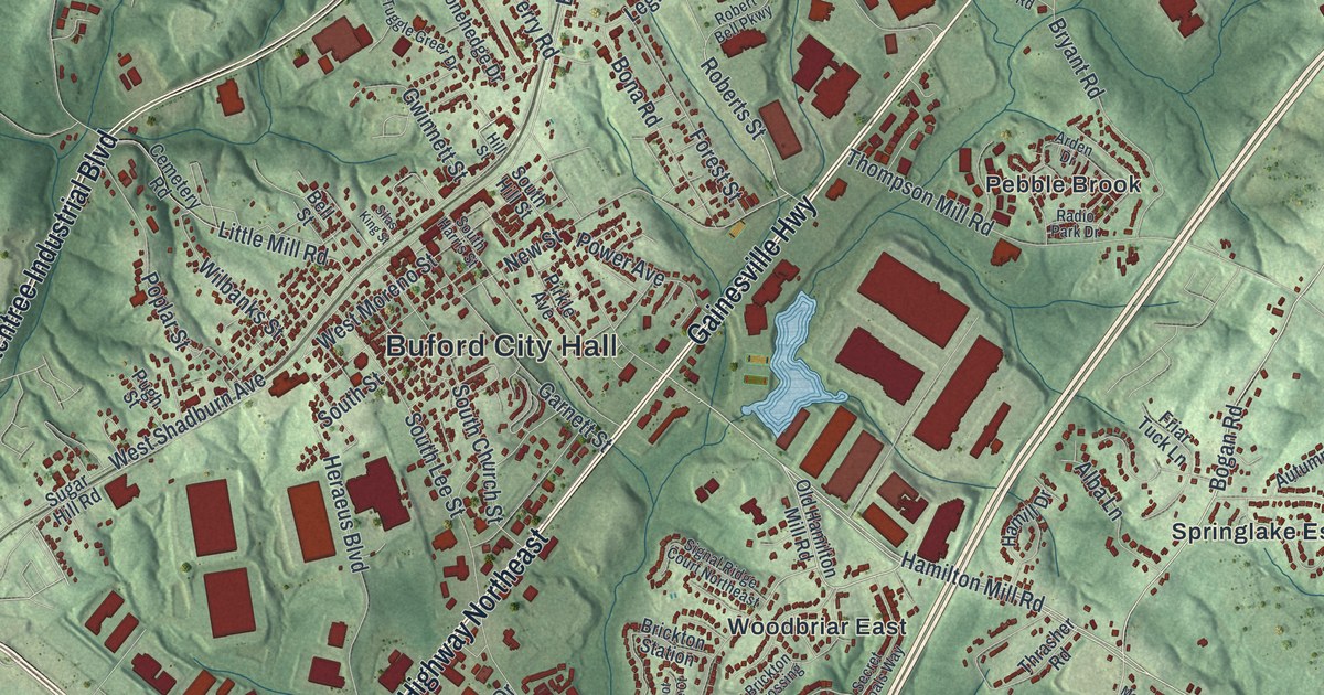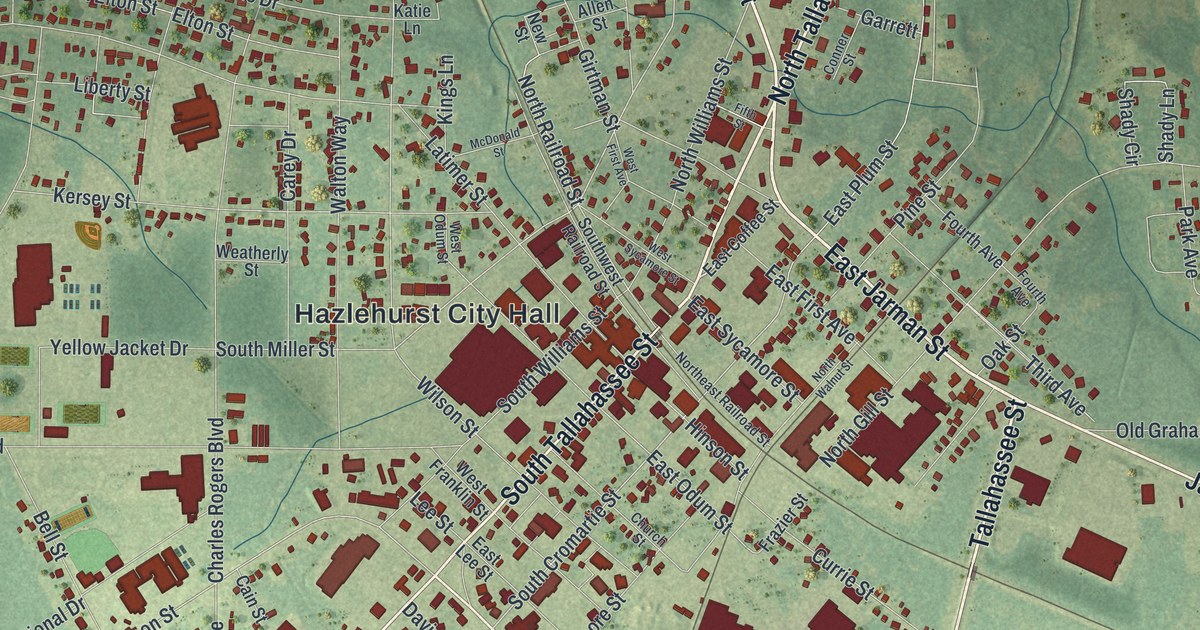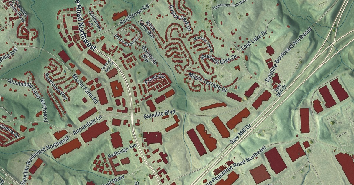
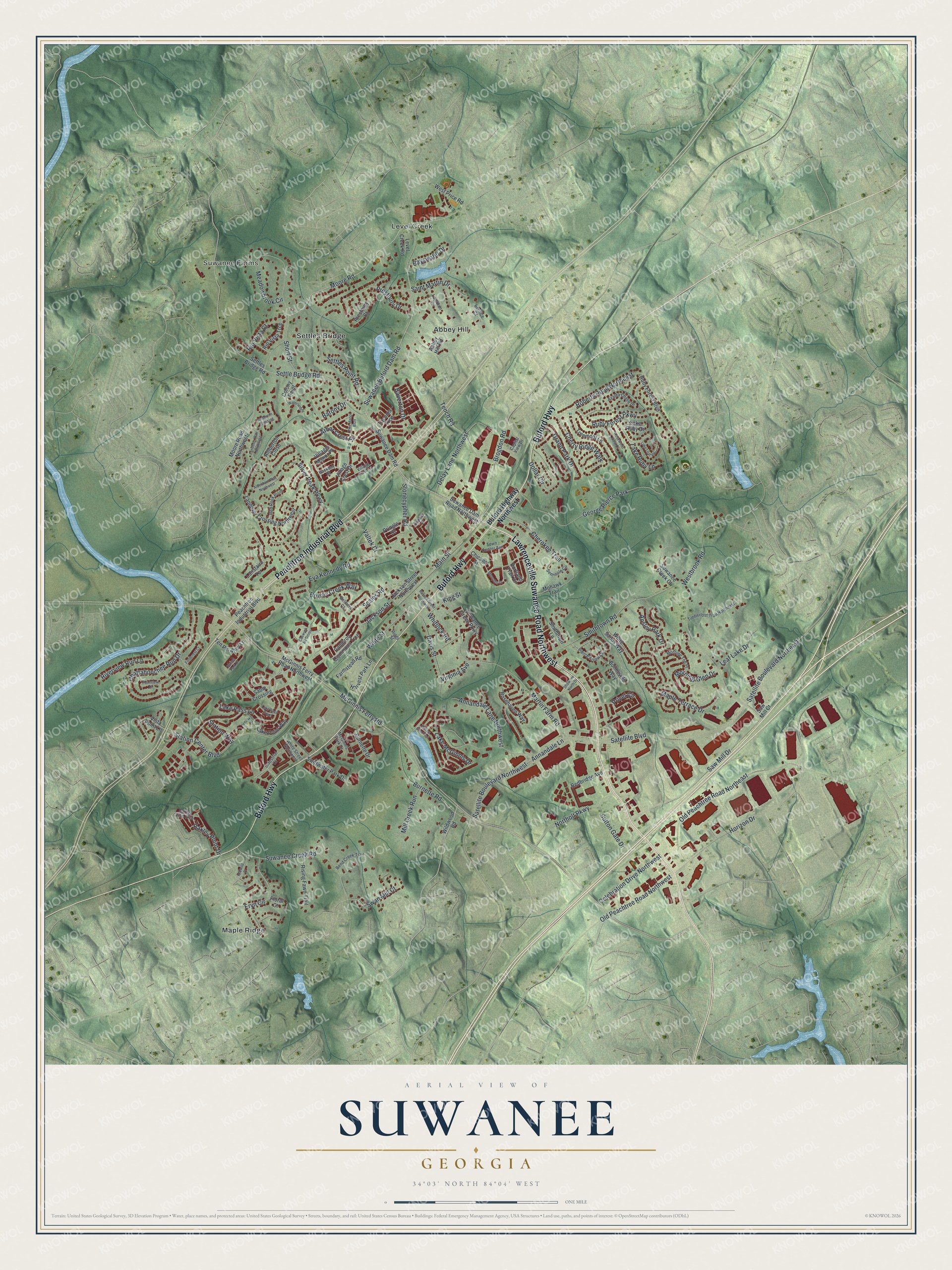
This beautifully detailed map of Suwanee, Georgia was created in 2026 using aerial imagery combined with modern topographical, census, street and landmark data. It’s a one-of-a-kind view of Suwanee that combines accurate data with a vintage aesthetic. The map shows every building in its true location, many of the roads carry their names, and the shaded topographic relief shows the shape of the land.
Explore an aerial view of Suwanee, Georgia
On the map you’ll find Suwanee Farms, Abbey Hill, Level Creek, Maple Ridge, and Settles Bridge, along with Lawrenceville Suwanee Road, Peachtree Industrial Boulevard, Buford Highway, McGinnis Ferry Road, Moore Road, and more. If you look closely you can even find your house accurately drawn in its correct location. Zoom in on the preview to look for yours.
Did You Know?
Suwanee takes its name from the Shawnee people, who once lived in the area. The Georgia Air Line Railroad arrived in 1871 and brought new people and trade. A terrible fire in 1881 left just one building standing on Main Street. The town kept going and rebuilt.
Take a closer look at the Suwanee map
Names on this map
These names are printed on this map.
Places: Suwanee Farms, Abbey Hill, Level Creek, Maple Ridge, Settles Bridge and George Pierce Park.
Streets and roads: Lawrenceville Suwanee Road Northwest, Peachtree Industrial Boulevard, Buford Highway, McGinnis Ferry Road, Moore Road, Suwanee Buford Dam Road, Saw Mill Drive, Smithtown Road, Settle Bridge Road, Horizon Drive, Station Center Boulevard, Old Peachtree Road Northeast.
More street names, A to Z
Abbey Hill Road, Aldenham Way Northwest, Amberton Close, Amberton Crossing, Annandale Lane, Annandale Lane Northwest, Ansley Park Drive, Arbor Crest Place, Azalea Chase Drive, Backbay Street, Barony Drive, Baverton Drive, Baxley Pine Trce, Baxley Point Drive, Bayswater Drive, Belmore Court, Bend Creek Trail, Bernice Court, Bonneville Way, Brogdon Road, Brushy Creek Way, Buford Highway Northwest, Burnette Drive, Burnette Road, Cambron Commons Trce, Capital View Drive, Caswyck McGinnis, Celebration Drive Northwest, Chattahoochee Run Drive, Cherokee Trail, Cherry Ridge Walk, Chicago Street, Colony Point, Cypher Drive, Davis Street, Delay Lane Northwest, Dollar Circle, Eryn Circle, Eva Kennedy Road, Farmstead Road, Fieldcrest Court, Floral Court, Grand Park Drive, Harvest Park Lane, Idlewild Place, Industrial Court, Jackson Street, Jackson Street Northwest, King Street, Lake Leaf Vw, Lake McGinnis Drive, Lake Pass Lane, Lake Pass Point, Lake Point Way, Lake Ruby Drive, Lake Ruby Lane, Lambton Circle, Landover Crossing Northwest, Landover Way Northwest, Lansfaire Terrace, Leaf Lake Drive, Level Creek Road, Main Street, Maple Terrace Drive, Martin Farm Road, McGinnis Ferry Road Northwest, McGinnis Park Drive, Meadowbrook Circle, Memphis Drive, Mill Creek Run, Mohawk Trail, Moore Road Northwest, Morning Glen Drive, Morning Top Place, Northolt Parkway, Old Peachtree Road Northwest, Pierce Arrow Circle, Pine Manor Bluff, Pointview Court, Portland Trail Drive, Prestbury Court, Prestbury Drive, Pringle Drive, Privet Circle, Redbridge Avenue, Red Rock Point, Riggs Street, Rio Vista Court, Rio Vista Trce, Rising Fawn Trail, Riverview Run Lane, Roberts Road Northeast, Rosehaven Way, Rosewood View Drive, Ruby Forest Boulevard, Ruby Forest Parkway, Russell Street Northwest, Sable Crossing, Saint Martin Drive, Satellite Boulevard, Satellite Boulevard Northeast, Satellite Boulevard Northwest, Saw Mill Court, Scales Road, Seminole Circle, Settles Bridge Road, Settles Point Road, Shawnee North Drive, Short Street, Silver Peak Parkway, Smithtown Lane, Station Way, Stonecypher Road, Sunset Park Drive, Sutton Gate Drive, Suwanee Creek Court, Suwanee Creek Road, Suwanee Dam Road, Suwanee Dam Road Northwest, Suwanee Green Parkway, Swan Mill Court, Swiftwater Park Drive, Tacoma Trce, Tench Road, Ten Pin Alley Lane, Timberlost Trail Northeast, Town Center Avenue, Treemont Lane, Valtek Court, Village Crest Drive, Village Field Court, Village Manor Place, Virginia Avenue, Vista Point Lane, Watersedge, Westbrook Road, West Price Road, White Sands Way, White Street, White Street Northwest, Whitlock Road, Wildwood Road, Willow Glen Trail.
See it on a wall
The Suwanee map as a framed print. Swipe for more.


This beautifully detailed map of Suwanee makes an attractive addition to your office, library, or den, and it can even be used to teach children the geography and history of the area. It also makes a great gift for anyone with Suwanee roots. When you’re done exploring, click here to get your copy of the Suwanee map.