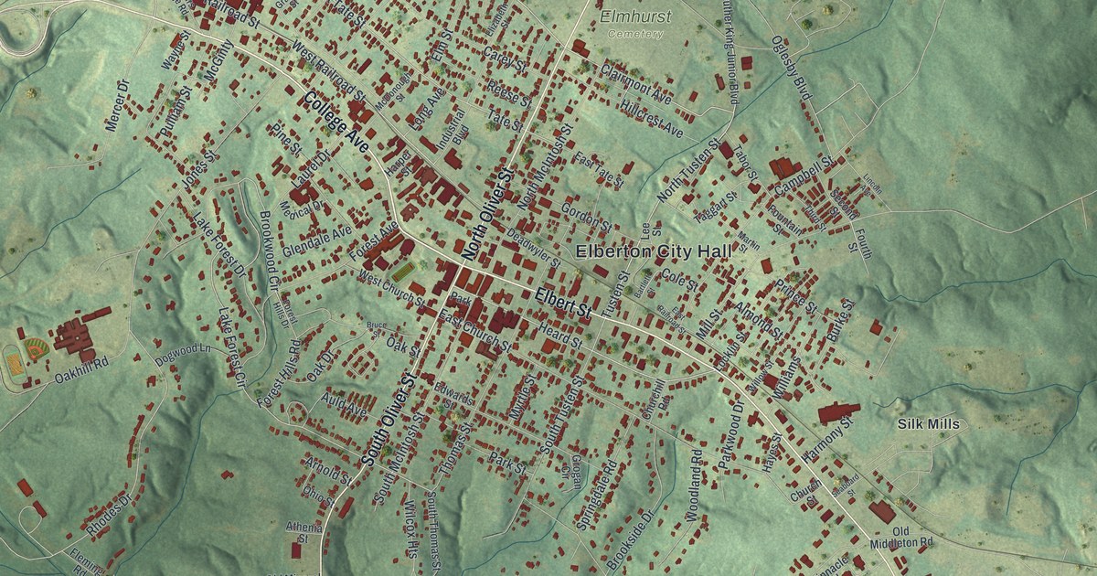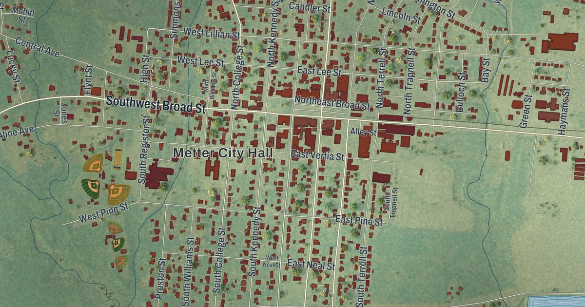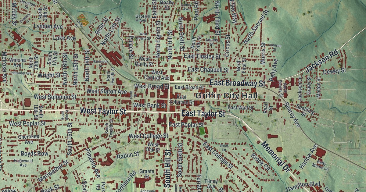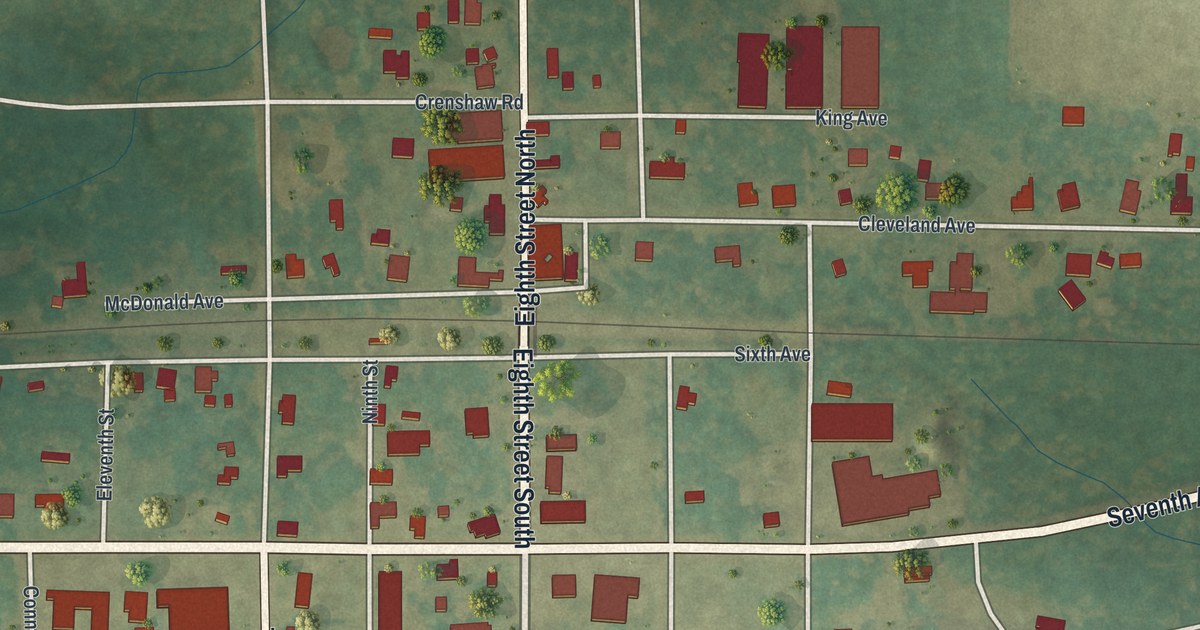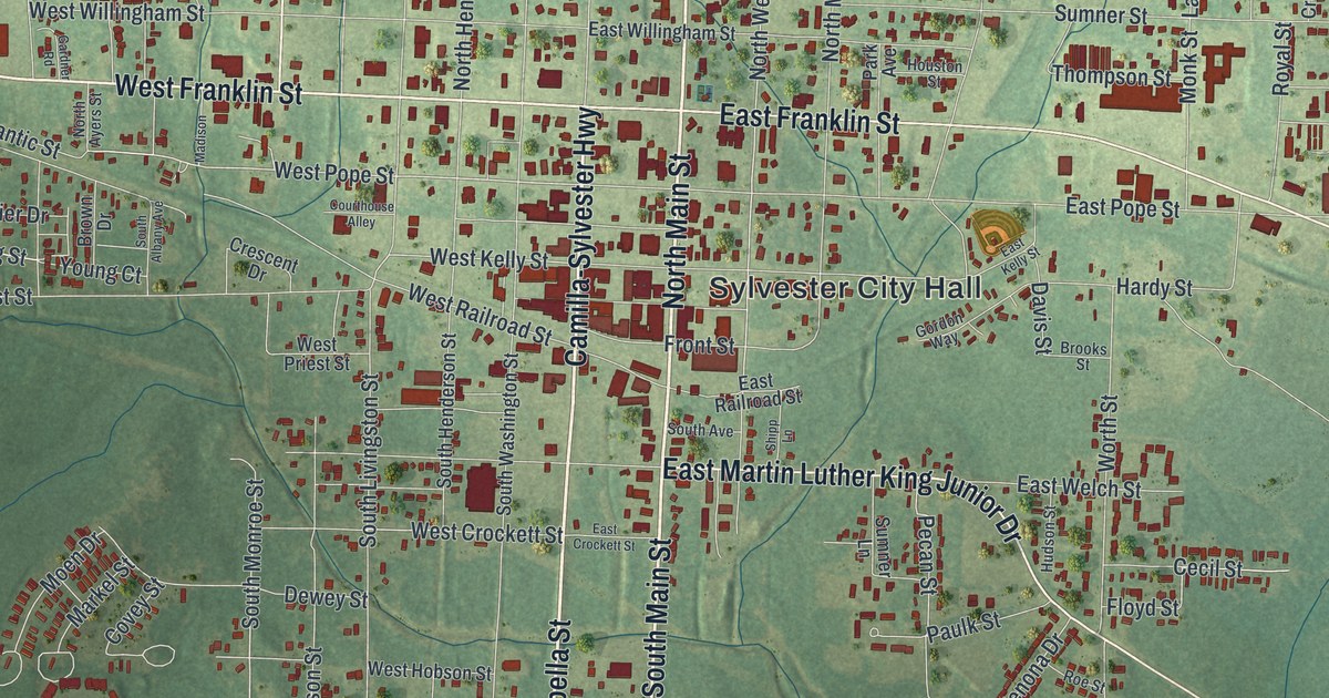
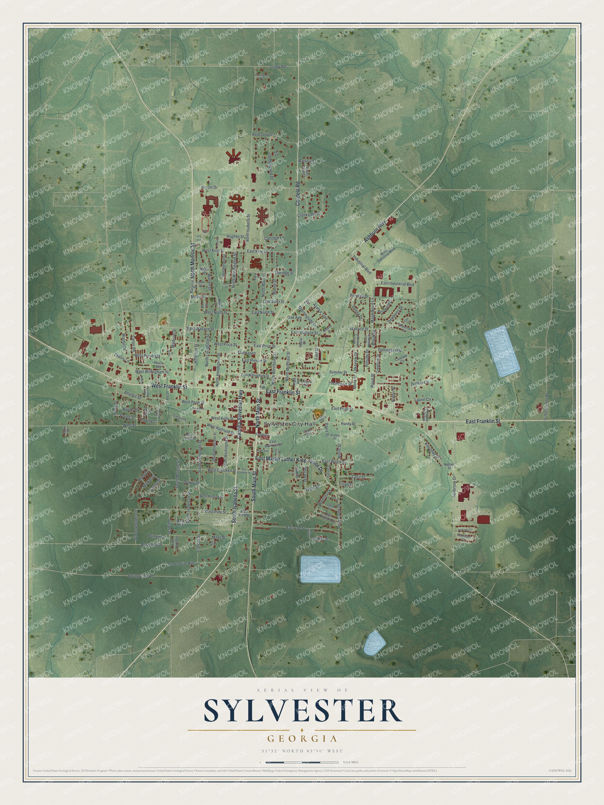
This beautifully detailed map of Sylvester, Georgia was created in 2026 using aerial imagery combined with modern topographical, census, street and landmark data. It’s a one-of-a-kind view of Sylvester that combines accurate data with a vintage aesthetic. The map shows every building in its true location, many of the roads carry their names, and the shaded topographic relief shows the shape of the land.
Explore an aerial view of Sylvester, Georgia
On the map you’ll find Sylvester City Hall and Hillcrest Cemetery, along with Camilla-Sylvester Highway, Main Street, Franklin Street, Isabella Street, and more. If you look closely you can even find your house accurately drawn in its correct location. Zoom in on the preview to look for yours.
Did You Know?
In 1872 the Brunswick and Albany Railroad was built across Worth County, and new towns sprang up along it. In 1904, after a long power struggle, Sylvester became the county seat. The city, known as the Peanut Capital of the World, hosts the Georgia Peanut Festival every October. That’s from the New Georgia Encyclopedia.
Take a closer look at the Sylvester map
Names on this map
These names are printed on this map.
Places: Sylvester City Hall and Hillcrest Cemetery.
Streets and roads: Camilla-Sylvester Highway, North Main Street, South Main Street, West Franklin Street, South Isabella Street, East Franklin Street, Cordele Road, Ashburn Highway, North Monroe Street, East Martin Luther King Junior Drive, Maplewood Lane, West Price Street.
More street names, A to Z
Alleyway, Atlantic Street, Azalea Trail, Bay Street, Bent Tree Drive, Bridges Street, Brooks Street, Brown Drive, Browning Drive, Bryant Drive, Capri Circle, Carriage Lane, Carroll Lane, Carter Road, Cascade Circle, Cecil Street, Cedar Street, Cherry Lane, Conley Street, Cotton Street, Courthouse Alley, Covey Street, Creekside Drive, Crescent Drive, Crestview Drive, Curtis Street, Darlington Road, Davis Street, Dewberry Drive, Dewey Street, Donna Drive, Dunbar Circle, East Crockett Street, East Hobson Street, East Industrial Boulevard, East Kelly Street, East King Street, East Lee Street, East North Street, East Pine Street, East Pinson Street, East Pope Street, East Price Street, East Railroad Street, East Street, East Wallace Street, East Welch Street, East Willingham Street, Eldridge Street, Elm Street, Floyd Street, Ford Street, Frances Street, Front Street, Gardner Road, Goldenwood Drive, Gordon Way, Greenbriar Avenue, Green Shutters Lane, Griffin Houston Road, Haley Drive, Hamilton Circle, Hardy Street, Henderson Street, Hillside Drive, Holly Street, Houston Street, Hudson Street, Hughes Street, Huntington Court, Industrial Boulevard, Ivy Court, Jackson Circle, Jefferson Street, Johnson Street, Kingsdale Apartment, Kourtney Street, Lakeview Drive, Lancaster Street, Laurel Circle, Lundy Road, Madison, Madison Street, Maple Street, Marginal Street, Markel Street, Marys Lane, McDonald Street, Miles Street, Mimosa Street, Moen Drive, Monk Street, Moore Street, Morningside Drive, Mullis Street, Napier Drive, Nether Street, North Ayers Street, North Henderson Street, North Hillside Drive, North Industrial Boulevard, North Isabella Street, North Lakeview Drive, North Livingston Street, North McPhaul Street, North Washington Street, North Westberry Street, Oak Avenue, Park Avenue, Paulk Street, Peach Avenue, Pecan Street, Pendley Drive, Pine Point Circle, Pointer Lane, Poplar Street, Quail Pines Court, Roe Street, Rosewood Drive, Royal Street, Sadler Street, Seabrook Drive, Shamrock Circle, Shipp Lane, South Albany Avenue, South Avenue, South Henderson Street, South Jefferson Street, South Livingston Street, South Monroe Street, South Washington Street, Spring Flats Road, Sumner Lane, Sumner Street, Sutton Street, Thomason, Thompson Street, Town Creek Drive, Wallace Street, Walnut Drive, Warren Drive, Wenona Drive, West Crockett Street, West Hobson Street, West Kelly Street, West King Street, West Lee Street, West North Street, West Pine Street, West Pinson Street, West Pope Street, West Priest Street, West Railroad Street, West Street, West Wallace Street, West Willingham Street, Willow Street, Worth Street, Young Court, Young Street.
See it on a wall
The Sylvester map as a framed print. Swipe for more.


This beautifully detailed map of Sylvester makes an attractive addition to your office, library, or den, and it can even be used to teach children the geography and history of the area. It also makes a great gift for someone who left Sylvester and still calls it home. When you’re done exploring, click here to get your copy of the Sylvester map.