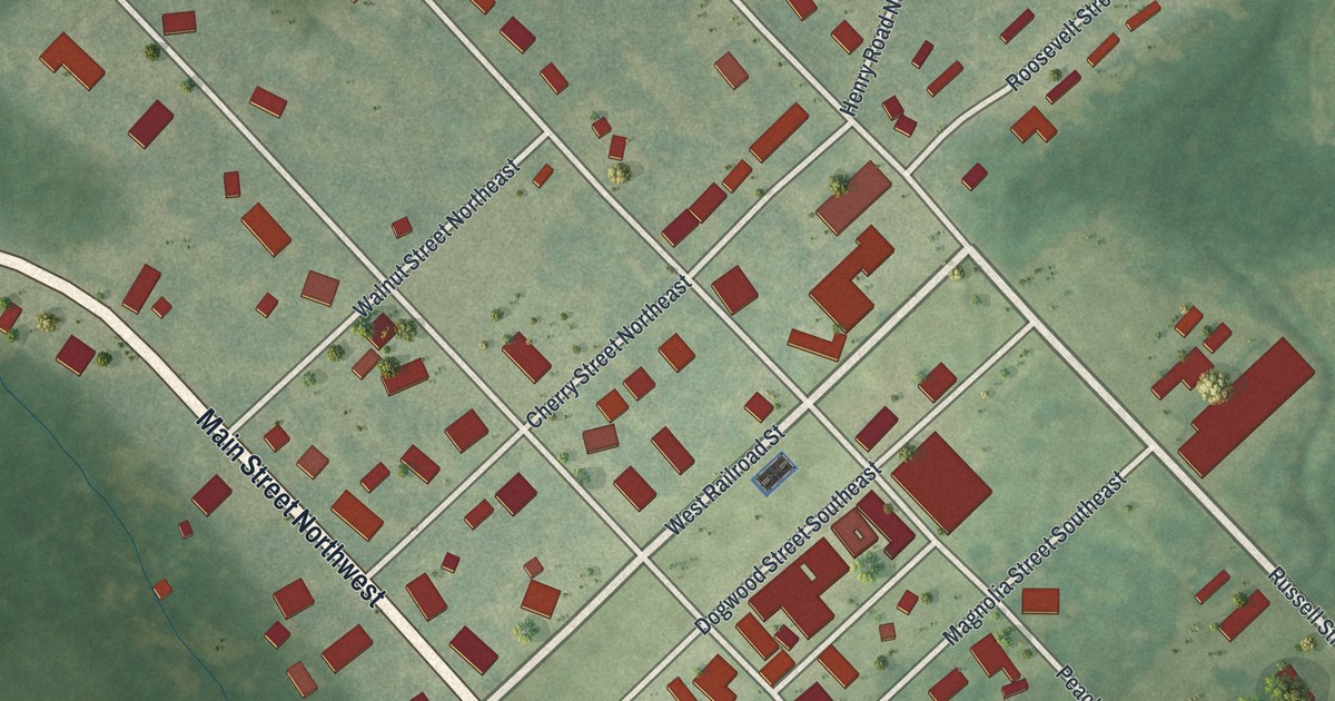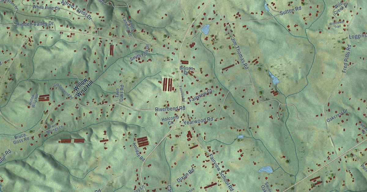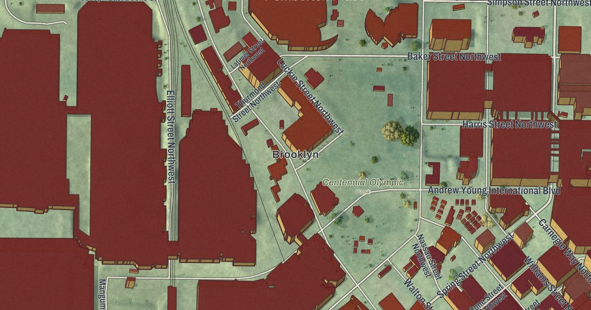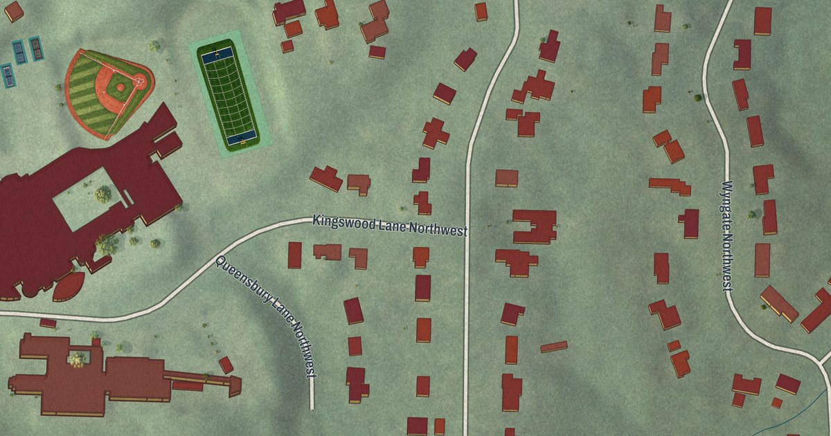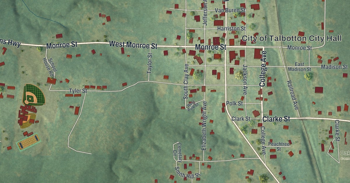
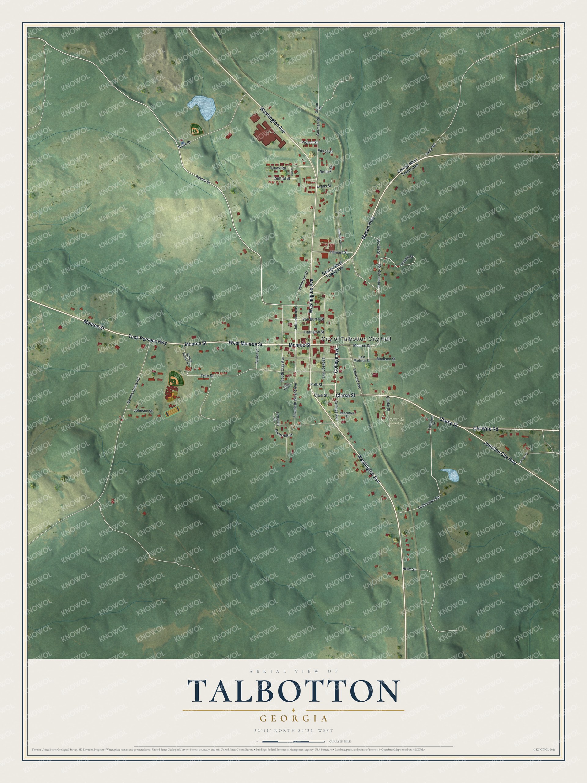
This beautifully detailed map of Talbotton, Georgia was created in 2026 using aerial imagery combined with modern topographical, census, street and landmark data. It’s a one-of-a-kind view of Talbotton that combines accurate data with a vintage aesthetic. The map shows every building in its true location, many of the roads carry their names, and the shaded topographic relief shows the shape of the land.
Explore an aerial view of Talbotton, Georgia
On the map you’ll find Oak Hill Cemetery, along with College Avenue, Monroe Street, Tuck Persons Highway, Macon Highway, Old Wire Road, and more. If you look closely you can even find your house accurately drawn in its correct location. Zoom in on the preview to look for yours.
Did You Know?
Josiah Flournay founded Collingsworth Institute at Talbotton as a manual labor school. It was chartered on December 29, 1838, and he left it 40,000 dollars. Nathan and Isidor Straus studied there. The brothers later became millionaire merchants in New York. That’s from the 1913 Georgia Landmarks and Legends.
Take a closer look at the Talbotton map
Names on this map
These names are printed on this map.
Places: City of Talbotton City Hall and Oak Hill Cemetery.
Streets and roads: College Avenue, Monroe Street, Tuck Persons Highway, Macon Highway, Old Wire Road, Washington Avenue, West Monroe Street, Clarke Street, Junction City Highway, Adams Street, Jefferson Avenue, Jefferson Street.
More street names, A to Z
Bottom Street, Cemetary Circle, Central Court, Central Street, Clark Street, Cullpepper Road, Culpepper Drive, Dennis Creek Road, Dozier Street, East Madison Street, Elizabeth Wright Avenue, Evans Street, Fillmore Street, George West Towns Avenue, Gibson Road, Gorman Road, Harriston Street, Hawk Road, Helm Street, Jackson Avenue, Johnson Street, Jordan City Road, Kelly Road, Lamar Lane, Madison Street, North Street, Peachtree Street, Pierce Street, Polk Street, Powell Street, Project Street, Railroad Avenue, School House Road, Smith Hill Street, South Clay Avenue, Stinson Drive, Taylor Street, Tyler Street, Van Buren Street, West Polk Street.
See it on a wall
The Talbotton map as a framed print. Swipe for more.


This beautifully detailed map of Talbotton makes an attractive addition to your office, library, or den, and it can even be used to teach children the geography and history of the area. It also makes a great gift for anyone who grew up in Talbotton or moved away. When you’re done exploring, click here to get your copy of the Talbotton map.