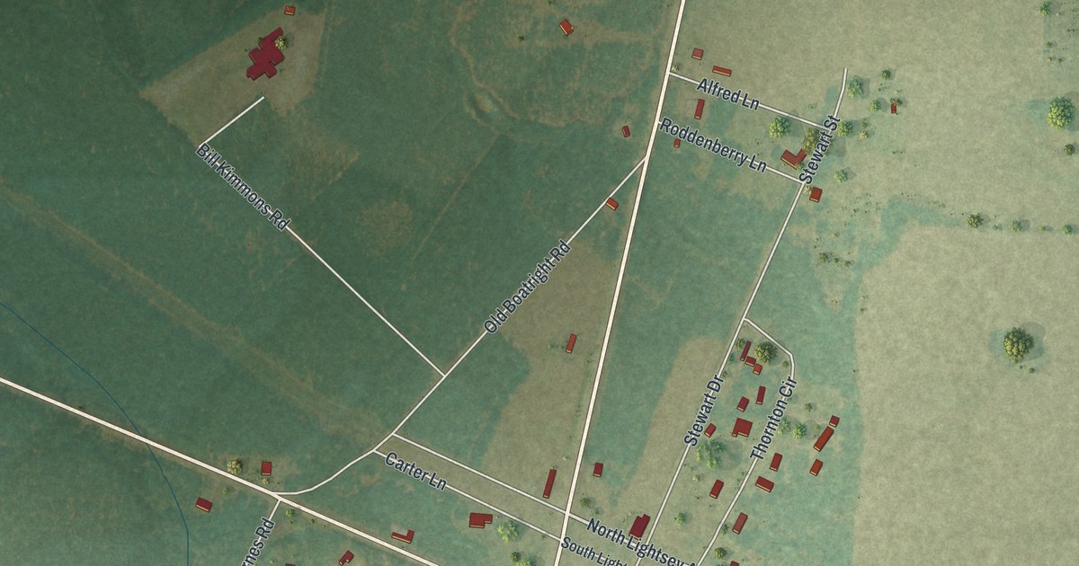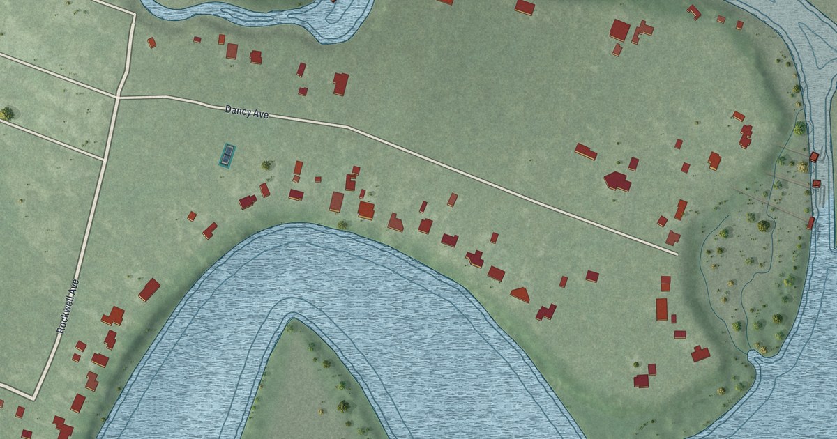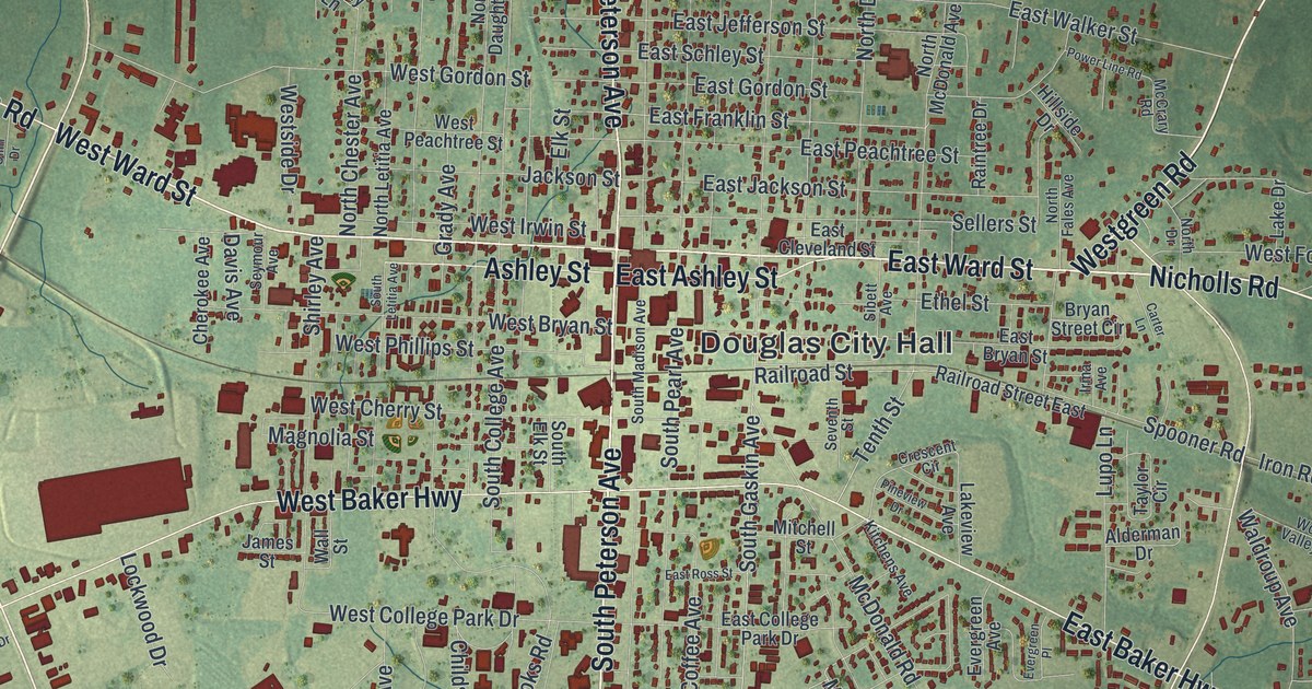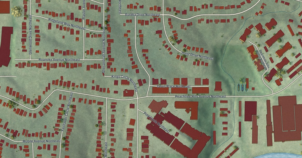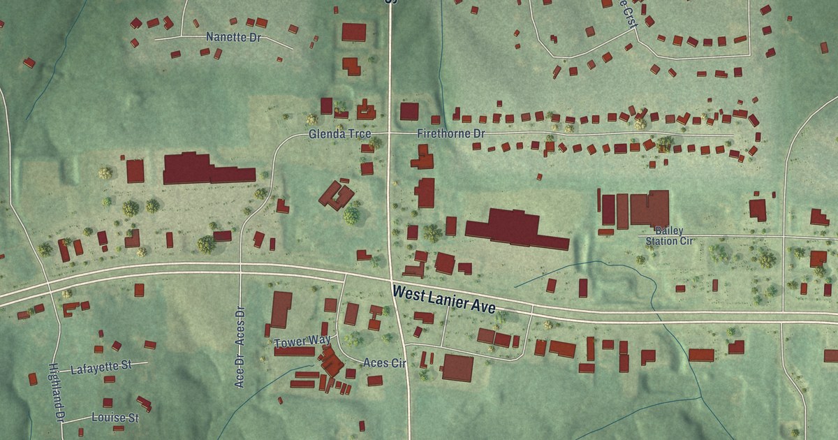
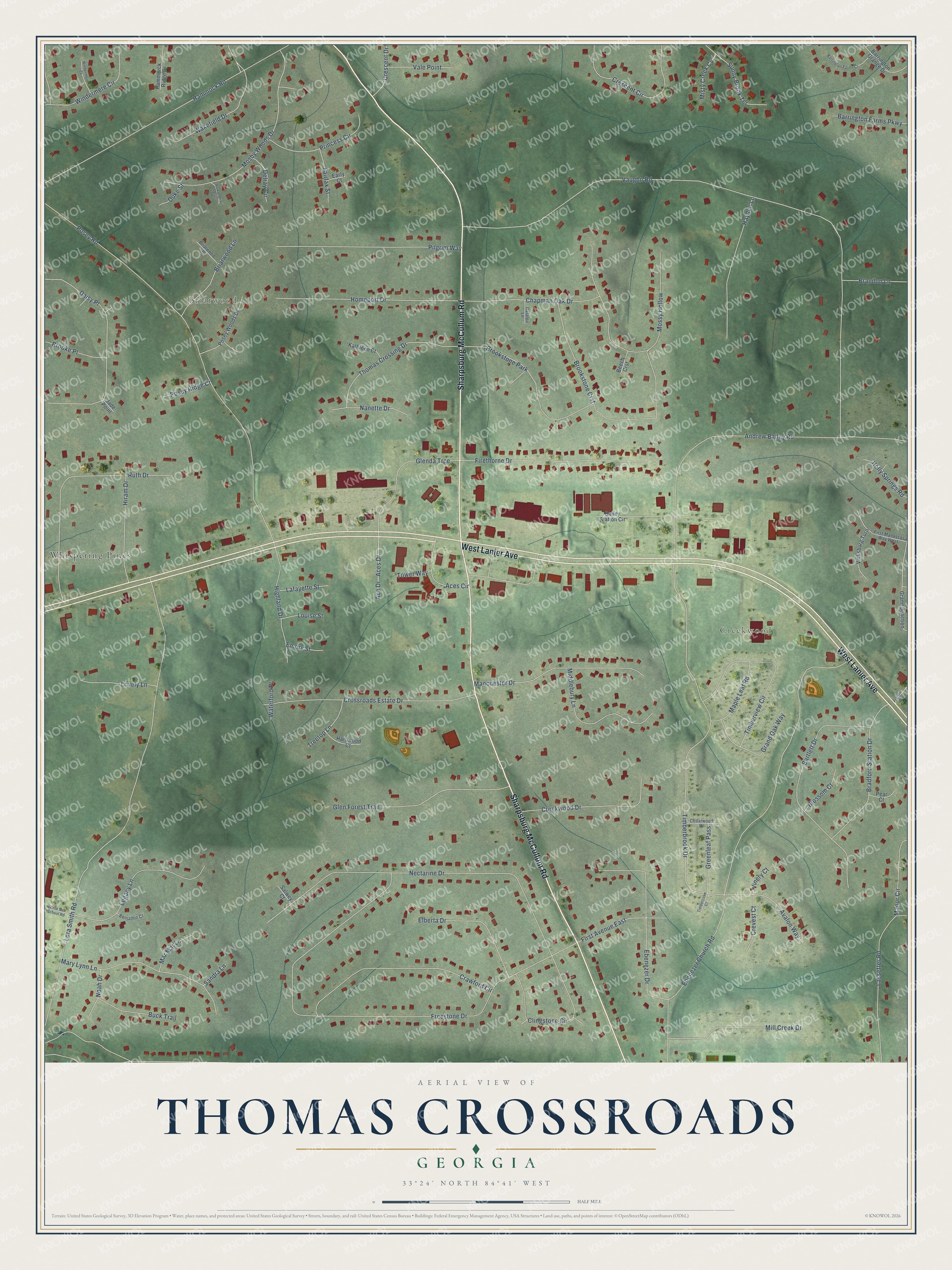
This beautifully detailed map of Thomas Crossroads, Georgia was created in 2026 using aerial imagery combined with modern topographical, census, street and landmark data. It’s a one-of-a-kind view of Thomas Crossroads that combines accurate data with a vintage aesthetic. The map shows every building in its true location, many of the roads carry their names, and the shaded topographic relief shows the shape of the land.
Explore an aerial view of Thomas Crossroads, Georgia
On the map you’ll find Briarwood, Creekwood, and Whispering Pines, along with Sharpsburg McCullum Road, West Lanier Avenue, Vaughn Road, Freestone Drive, Lora Smith Road, Ebenezer Church Road, Posey Road, Timberbrook Drive, Nectarine Drive, and more. If you look closely you can even find your house accurately drawn in its correct location. Zoom in on the preview to look for yours.
Take a closer look at the Thomas Crossroads map
Names on this map
These names are printed on this map.
Places: Briarwood, Creekwood, Whispering Pines and Brookstone Park.
Streets and roads: Sharpsburg McCullum Road, West Lanier Avenue, Vaughn Road, Freestone Drive, Lora Smith Road, Ebenezer Church Road, Posey Road, Timberbrook Drive, Nectarine Drive, Andrew Bailey Road, Hammock Road, Brookstone Crst.
More street names, A to Z
Ace Drive, Aces Circle, Aces Drive, Alexandria Circle, Avalon Way, Bailey Station Circle, Barrington Farms Court, Barrington Farms Parkway, Barrington Grange Drive, Bartlett Drive, Beech Crst, Benjamin Court, Blossom Court, Bradford Station Drive, Brandon Lane, Briarwood Lane, Briarwood Place, Brooke Place, Buck Trail, Catalpa Lane, Cedarwood Drive, Chapman Oak Drive, Clingstone Circle, Crawford Circle, Creekwood Drive, Crescent Circle, Crescent Drive, Crevest Court, Crossroads Estate Drive, Daisy Place, Delray Circle, Duke Street, Early Court, Ebenezer Drive, Elberta Drive, Emory Street, Fairfax Street, Firethorne Drive, First Avenue East, First Manassas Way West, Francis Way, Glenda Trce, Glen Forest Trail, Grand Junction, Grand Oak Way, Greenleaf Pass, Hammorck Ridge Drive, Hardwood Court, Hayden Lane, Highland Drive, Hiram Drive, Holly Springs Road, Homeport Drive, Jade Point, Kathleen Court, Lafayette Street, Lassetter Road, Legacy Lane, Louise Street, Lovely Lane, Manchester Drive, Manor Circle, Maple Leaf Road, Mar Mar Lane, Mary Lynn Lane, Middlebury Lane, Mill Creek Drive, Misty Creek Cv, Mosby Woods Drive, Mossy Hollow, Nanette Drive, Noah Drive, Pear Court, Pilgrim Way, Posey Ridge Court, Posey Woods Drive, Princess Circle, Ruth Drive, Salwey Court, Sandra Lane, Sunny Brook Terrace, Thomas Crossing Drive, Timbercove Court, Timberview Circle, Tower Way, Treetop Lane, Vale Point, Vicksburg Turn, Vinery Court, Wakefield Drive, Waterford Place, White Oak School Road, Windermere Circle, Windermere Court.
See it on a wall
The Thomas Crossroads map as a framed print. Swipe for more.


This beautifully detailed map of Thomas Crossroads makes an attractive addition to your office, library, or den, and it can even be used to teach children the geography and history of the area. It also makes a great gift for anyone who grew up in Thomas Crossroads or moved away. When you’re done exploring, click here to get your copy of the Thomas Crossroads map.