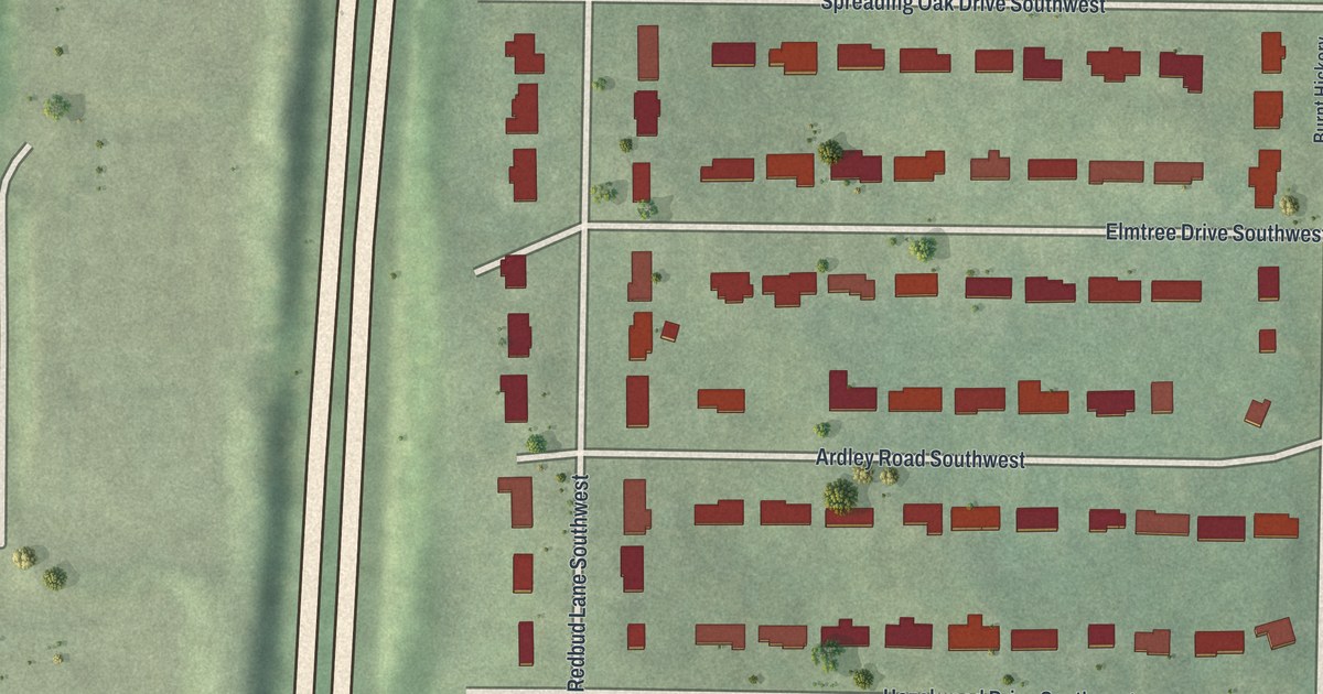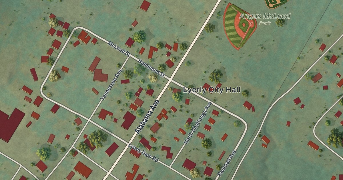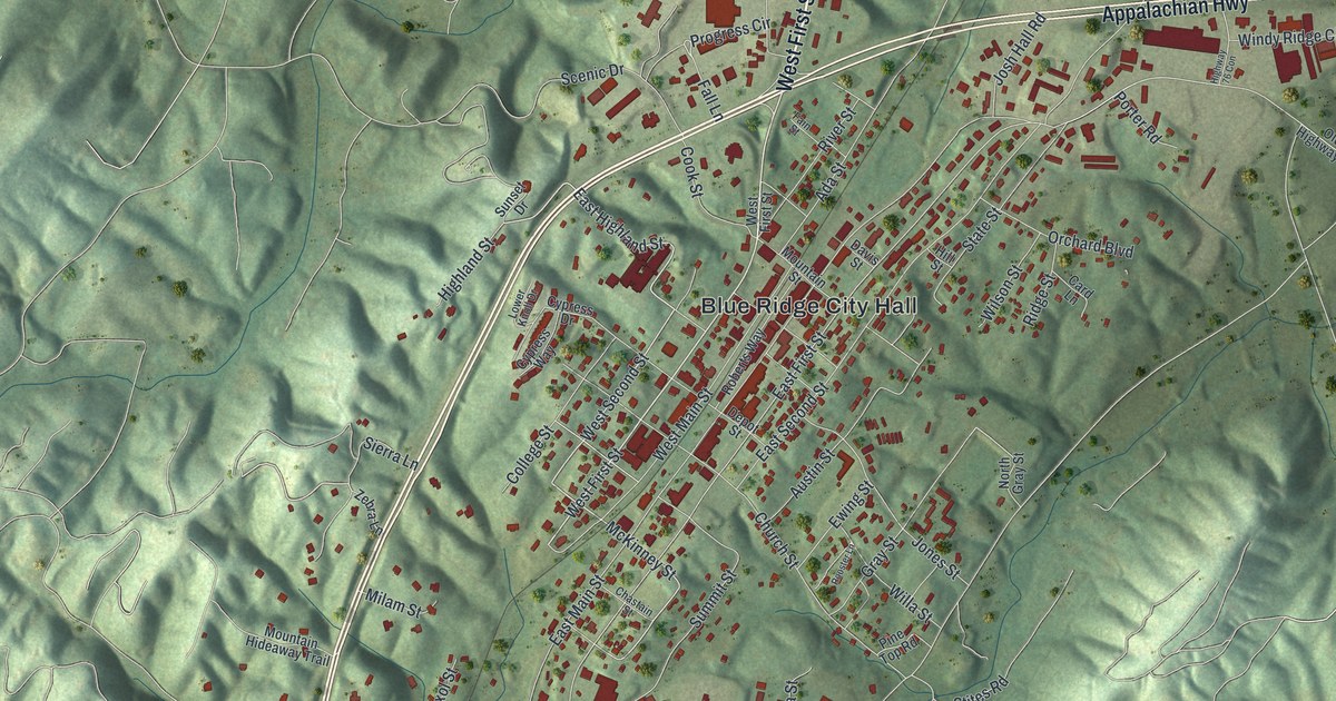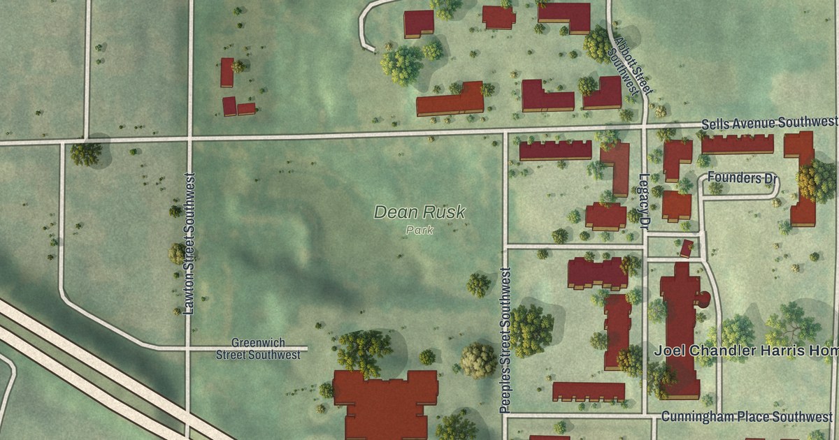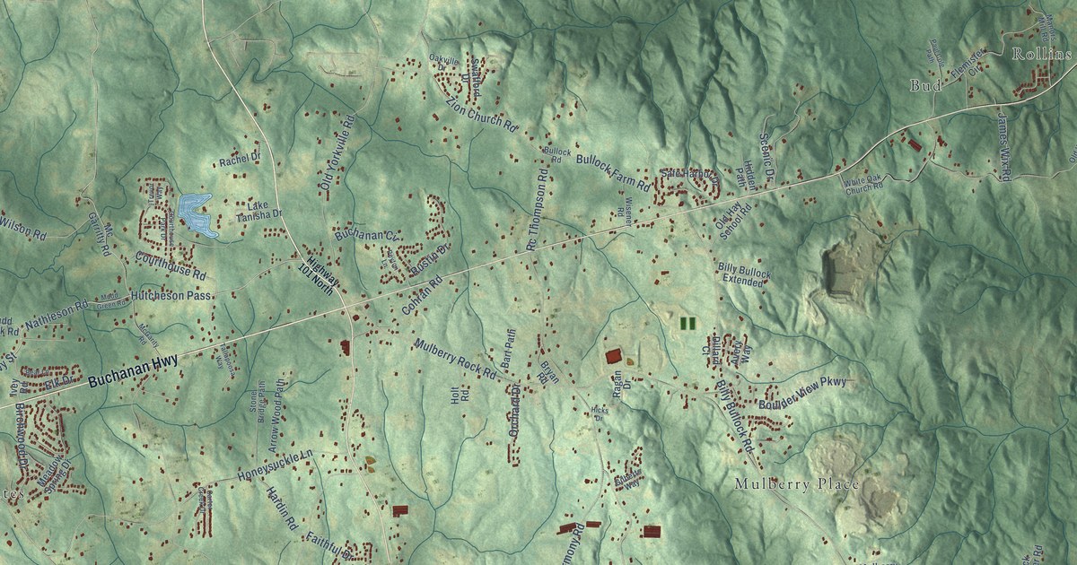
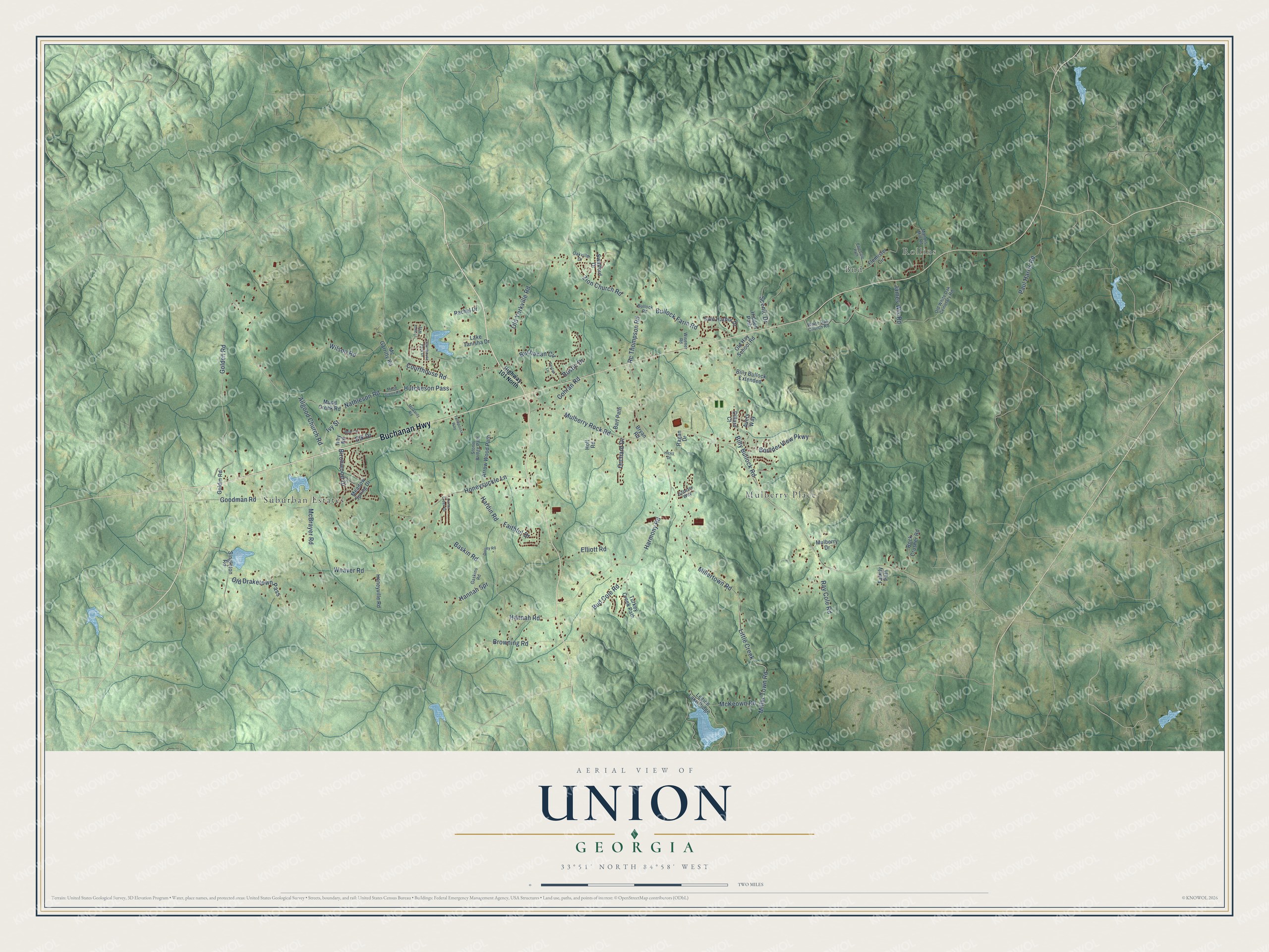
This beautifully detailed map of Union, Georgia was created in 2026 using aerial imagery combined with modern topographical, census, street and landmark data. It’s a one-of-a-kind view of Union that combines accurate data with a vintage aesthetic. The map shows every building in its true location, many of the roads carry their names, and the shaded topographic relief shows the shape of the land.
Explore an aerial view of Union, Georgia
On the map you’ll find Rollins, Suburban Estates, Mulberry Place, Bud, and Hutcheson Pass, along with Buchanan Highway, Allgood Church Road, Nathleson Road, Ivy Street, Golden Road, Birchwood Drive, Mulberry Rock Road, and more. If you look closely you can even find your house accurately drawn in its correct location. Zoom in on the preview to look for yours.
Did You Know?
From Internet Archive: "Stephens saw an era of peace, prosperity, order, the triumph of slavery and the South, and settled principles and a fixed Union."
Union is a community in Paulding County.
Take a closer look at the Union map
Names on this map
These names are printed on this map.
Places: Rollins, Suburban Estates, Mulberry Place and Bud.
Streets and roads: Buchanan Highway, Allgood Church Road, Hutcheson Pass, Nathleson Road, Ivy Street, Golden Road, Birchwood Drive, Mulberry Rock Road, Harmony Road, Miller Town Road, Millertown Road, Honeysuckle Lane.
More street names, A to Z
Arrow Wood Path, Avery Way, Bart Path, Baskin Road, Bear Lane, Billy Bullock Extended, Billy Bullock Road, Boulder View Parkway, Browning Road, Bryan Road, Buchanan Circle, Bud Cole Road, Bullock Farm Road, Bullock Road, Carter Creek Drive, Cohran Road, Courthouse Park Drive, Courthouse Road, Dillard Court, Dorsey Road, Elk Drive, Elliott Road, Faithful Drive, Family Path, Flemister Circle, Gaskins Road, Gilberts Way, Goldin Road, Goodman Road, Hannah Road, Hannah Spr, Hardin Road, Hicks Drive, Hidden Path, Highway 101 North, Holt Road, Honeyville Road, Ivey Road, James Wix Road, Lake Tanisha Drive, Legion Lake Ridge, Little Creek, Manors Mill Road, McBrayer Road, McGarity Road, Mc Garritty Road, McKeown Road, Meadow Spring Drive, Mudd Creek Road, Mudd Green Road, Mulberry Drive, Oakville Drive, Old Draketown Pass, Old Hay School Road, Old White Oak Cemetary Road, Old Yorkville Road, Orchard Drive, Paul Cole Path, Paul Harris Road, Peyton Lane, Rachel Drive, Ragan Drive, Ray Cole Road, Rc Thompson Road, Rock Crusher Road, Rustin Drive, Safe Harbor Drive, Scenic Drive, Singleton Road, Stone Bridge Path, Swafford Drive, Tallapoosa Way, Trevor Way, Turkey Creek Path, Weaver Road, White Oak Church Road, Wilson Road, Wisener Road, Zion Church Road.
See it on a wall
The Union map as a framed print. Swipe for more.


This beautifully detailed map of Union makes an attractive addition to your office, library, or den, and it can even be used to teach children the geography and history of the area. It also makes a great gift for someone who left Union and still calls it home. When you’re done exploring, click here to get your copy of the Union map.