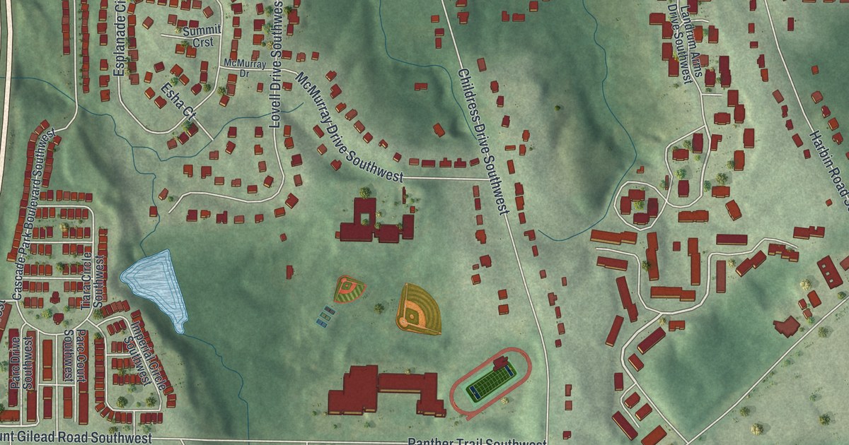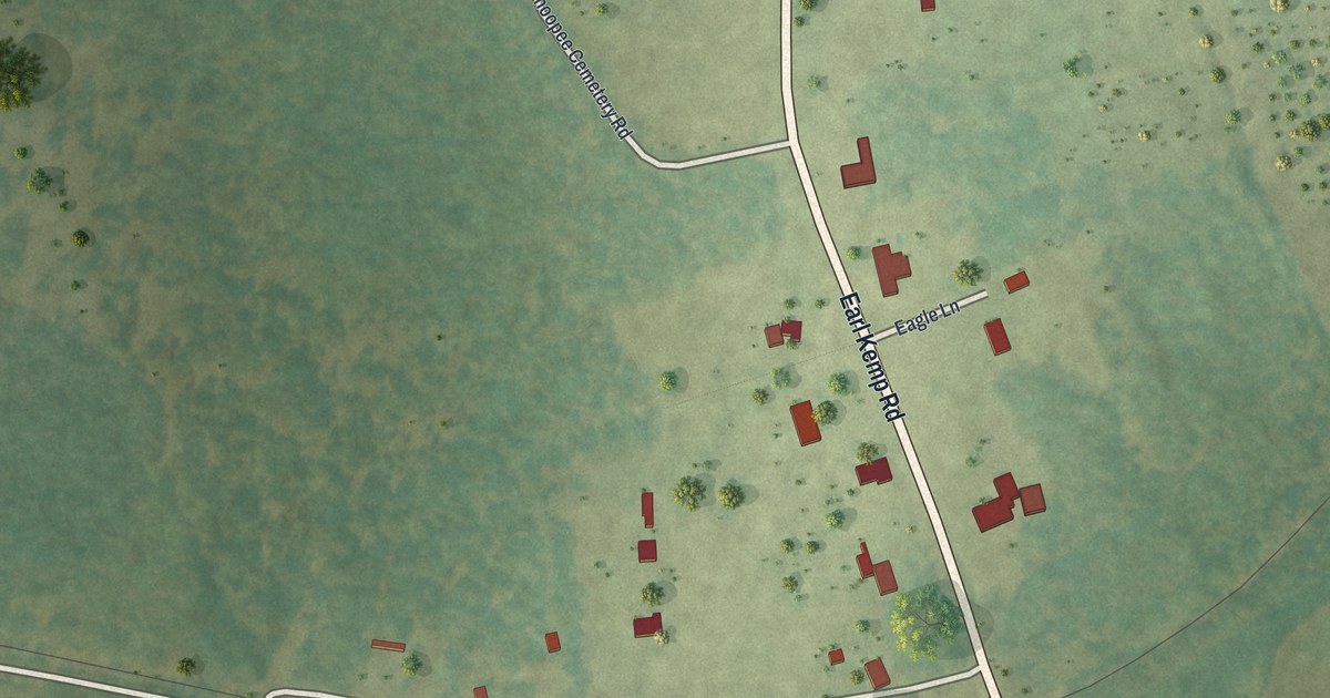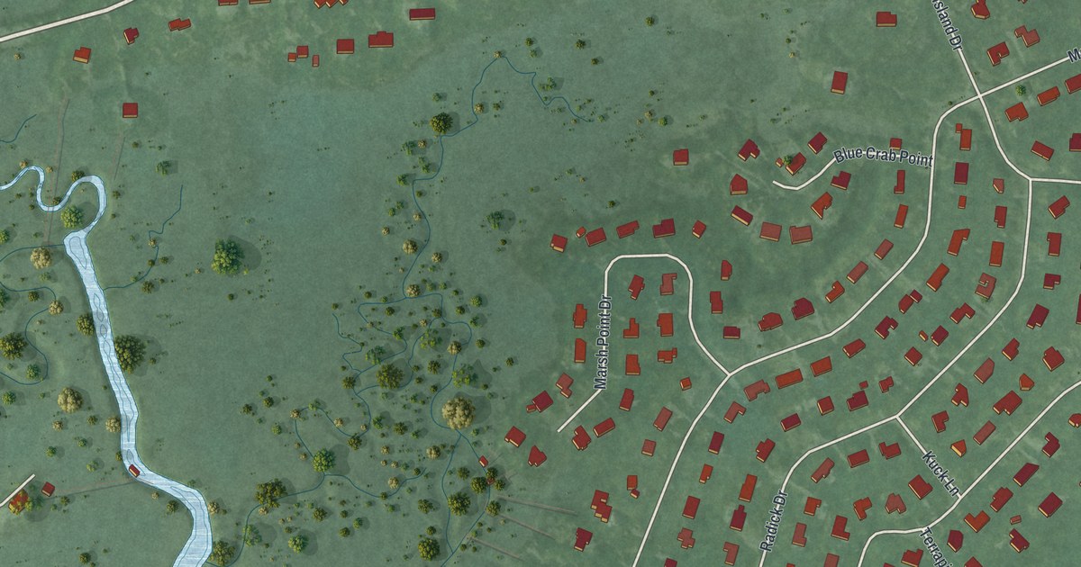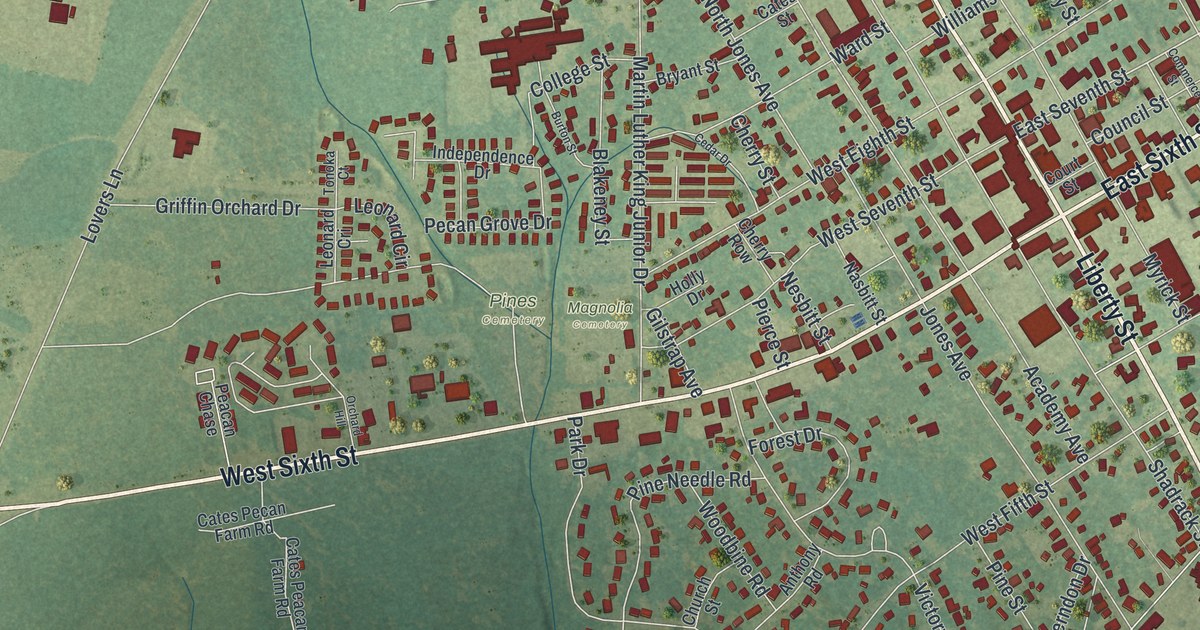
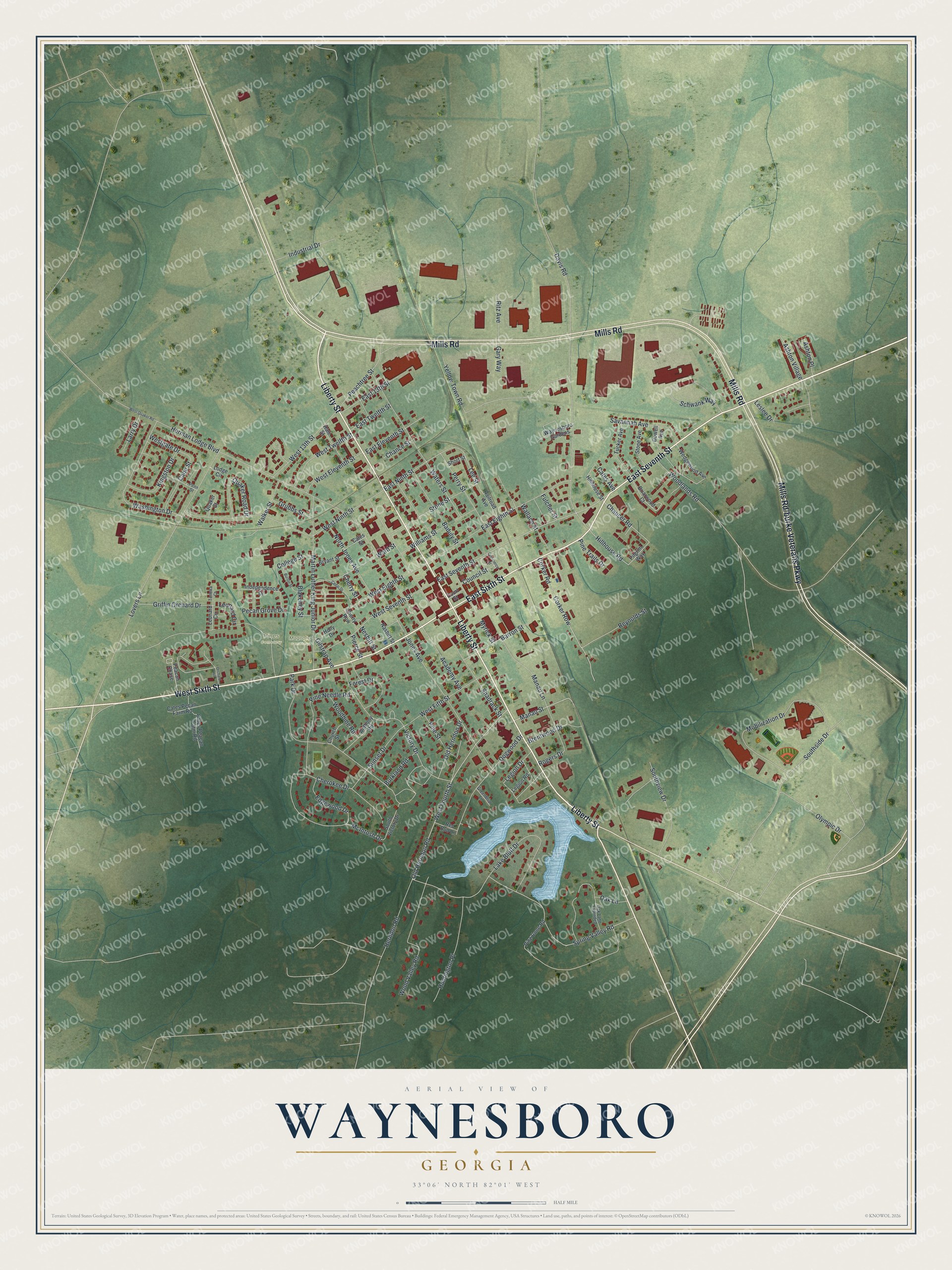
This beautifully detailed map of Waynesboro, Georgia was created in 2026 using aerial imagery combined with modern topographical, census, street and landmark data. It’s a one-of-a-kind view of Waynesboro that combines accurate data with a vintage aesthetic. The map shows every building in its true location, many of the roads carry their names, and the shaded topographic relief shows the shape of the land.
Explore an aerial view of Waynesboro, Georgia
On the map you’ll find Magnolia Cemetery and Pines Cemetery, along with Seventh Street, Liberty Street, Sixth Street, Mills Road, Mills Rd/burke Veterans Parkway, and more. If you look closely you can even find your house accurately drawn in its correct location. Zoom in on the preview to look for yours.
Did You Know?
Waynesboro was laid out as a town in 1783. It was named for General Anthony Wayne, called Mad Anthony for his daring exploits. Wayne served in Georgia during the Revolution. He later moved to the state and won election to Congress in 1791. That’s from the 1940 WPA guide to Georgia.
Take a closer look at the Waynesboro map
Names on this map
These names are printed on this map.
Places: Magnolia Cemetery and Pines Cemetery.
Streets and roads: East Seventh Street, Liberty Street, East Sixth Street, Mills Road, West Sixth Street, Manau Street, Lee Street, Legion Drive, Chaucer Road, Victory Drive, Spring Valley Road, Washington Drive.
More street names, A to Z
Academy Avenue, Anthony Road, Ashton Place, Ashton Village, Baduly Street, Barron Street, Blakeney Street, Brentwood Drive, Briarwood Court, Bryant Street, Burkland Road, Burton Street, Cane Street, Cates Avenue, Cates Peacan Farm Road, Cates Pecan Farm Road, Cates Street, Cedar Drive, Chance Street, Cherokee Drive, Cherry Row, Cherry Street, Church Street, College Street, Commerce Street, Corker Road, Corker Row, Council Street, Court Street, Davis Road, Dogwood Drive, Dowell Avenue, East 13th Street, East Eighth Street, East Eleventh Street, East Ninth Street, East Twelfth Street, Edgewood Drive, Forest Drive, Fulcher Street, Gary Way, Gilstrap Avenue, Greenbriar Lane, Griffin Orchard Drive, Grubbs Street, Hale Street, Herman Lodge Boulevard, Herndon Road, Hillhouse Road, Hillhouse Street, Holly Drive, Huntington Place, Independence Drive, Industrial Drive, Jones Avenue, Kingston Drive, Lake Bluff Drive, Larry Drive, Legion Road, Leonard Circle, Leonard Cri, Leslee Drive, Lodge Circle, Lovers Lane, Manau Lane, Martin Luther King Junior Drive, McIntosh Drive, Mobilization Drive, Myrick Street, Nasbitt Street, Nesbitt Street, North Jones Avenue, Oak Lane, Oak Lane Extended, Old Herndon Drive, Old Herndon Road, Olympic Drive, Orchard Hill, Park Drive, Peacan Chase, Peachtree Street, Pecan Grove Drive, Penn Street, Perry Street, Pierce Street, Pilgrim Way, Pine Cone Road, Pine Needle Road, Pine Street, Pine Trails Drive, Quaker Court, Quaker Road Drive, Railroad Avenue, Red Bud Lane, Reynolds Street, Ritz Avenue, Rogers Drive, Savannah Avenue, Schwank Way, Shadrack Street, Short Street, Southside Drive, South Victory Drive, Southview Drive, Stone Avenue, Stone Street, Sunset Drive, Tonoka Court, Tucker Avenue, Walker Street, Wallace Street, Ward Street, Waters Street, Waynesboro Gardens, Wedgewood Avenue, West 13th Street, West Eighth Street, West Eleventh Street, West Fifth Street, West Fourth Street, Westgate Drive, West Ninth Street, West Quaker Road, West Seventh Street, West Twelfth Street, Williams Street, Woodbine Road, Woodlands Road, Wood Valley Road, Yellow Town Road.
See it on a wall
The Waynesboro map as a framed print. Swipe for more.


This beautifully detailed map of Waynesboro makes an attractive addition to your office, library, or den, and it can even be used to teach children the geography and history of the area. It also makes a great gift for anyone with Waynesboro roots. When you’re done exploring, click here to get your copy of the Waynesboro map.