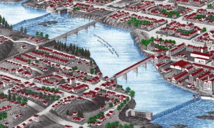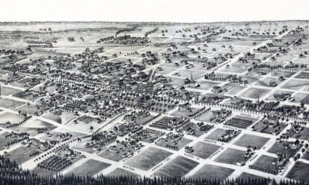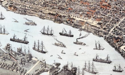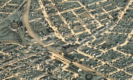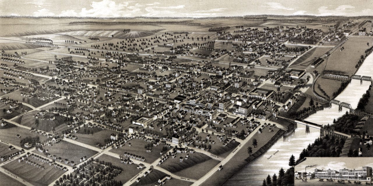
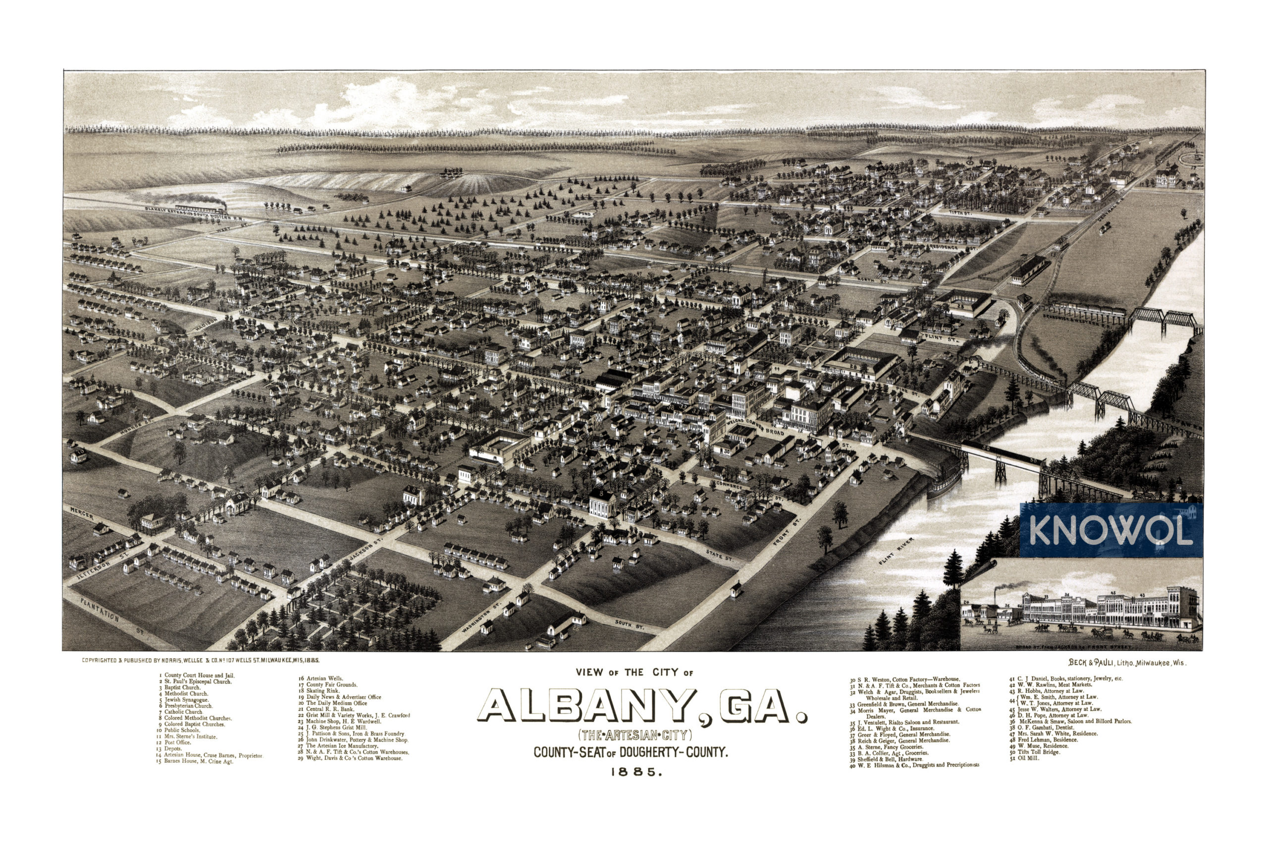
This historic old map of Albany, Georgia was created in 1885 by George E. Norris and Henry Wellge, two prominent 19th century cartographers. The map shows a bird’s eye view of Albany as it was, including street names and old landmarks.
Landmarks on the map include Rialto Saloon and Restaurant, Artesian Hotel, Artesian Wells, County Fair Grounds, Wardwell’s Machine Shop, Skating Rink, Central Railroad Bank, Stephens Grist Mill, Pattison Iron & Brass Foundry, Tift Cotton Warehouses, Sterne Fancy Groceries, Rawlins Meat Market, McKenna & Smaw Saloon and Billiard Parlor, Tifts Toll Bridge, churches, and more.
This historic map of Albany, GA has been restored by KNOWOL. Reproductions of the restored map are available here.
Bird’s Eye View of Albany, Georgia in 1885
This historic map of Albany will make an attractive addition to your office, library, or den and can even be used to teach children the geography and history of the area. When you’re done exploring, click here to get your copy.