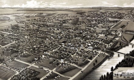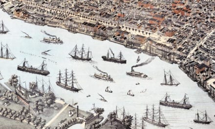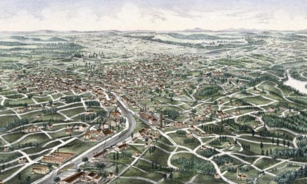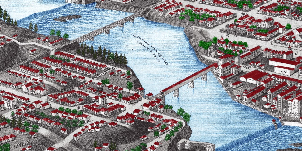
This historic map of Columbus, Georgia was created in 1886 by Henry Wellge, a prominent 19th century map maker. The map shows a bird’s eye view of the area as it once was, including street names and old landmarks.
Landmarks on the map include Springer Opera House, Rose Hill Park, Union Depot, Empire Stables, Edwards Saloon, Kavanagh Grocers, Bush Hardware, Slade’s School for Boys, Monumental Marble Works, Columbus Iron Works, Columbus Steam Bagging, Chattahoochee Bank, and more.
This historic map of Columbus. Georgia was restored and colorized by KNOWOL. Reproductions of the restored map are available here.
Historic Old Map of Columbus, Georgia from 1886
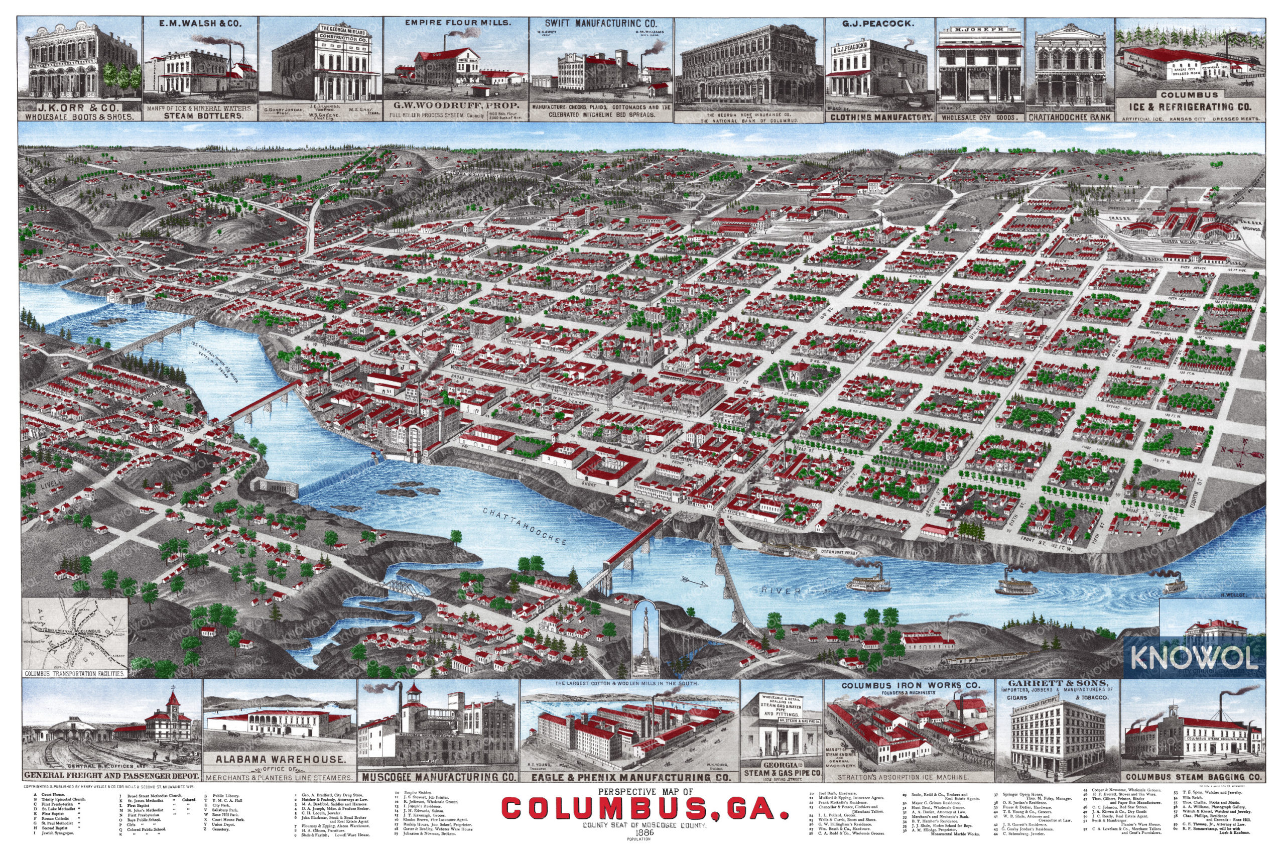
This beautifully restored map of Columbus will make an attractive addition to your office, library, or den and can even be used to teach children the geography and history of the area. When you’re done exploring, click here to get your copy of the restored map.