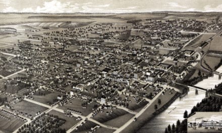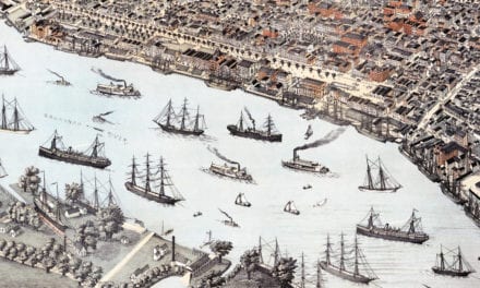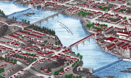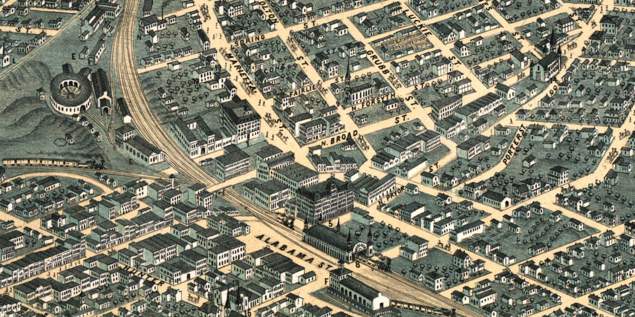
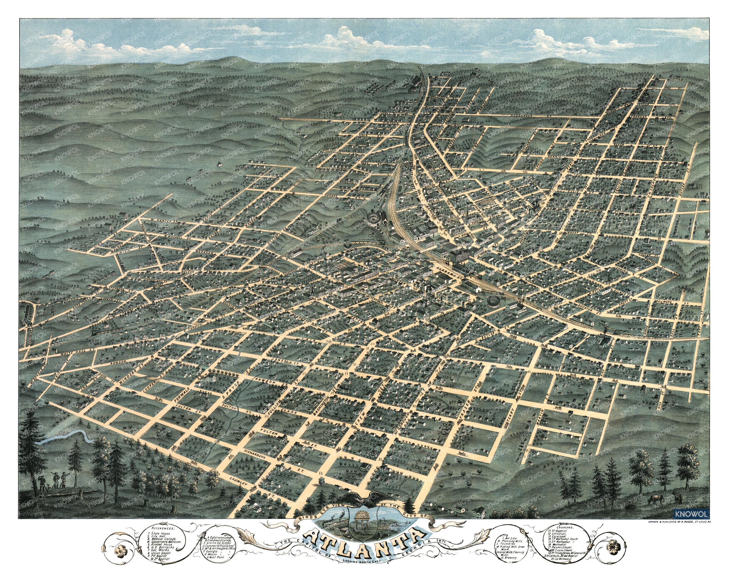
This vintage map of Atlanta, Georgia was created in 1871 by Albert Ruger, a prominent 19th century map maker. The map shows a bird’s eye view of Atlanta as it once was, including street names and old landmarks.
Historic Atlanta landmarks on the map include Atlanta Brewery, City Hall, Medical College, Governor’s Mansion, Kimball House, U.S. Barracks, Union Depot, Freedman’s College, Storrs School, Summer Hill School, and more.
This vintage map of Atlanta has been lovingly restored by KNOWOL. You can purchase a reproduction of the restored map by clicking here.
Vintage Map of Atlanta, Georgia from 1871
This beautifully restored map of Atlanta will make an attractive addition to your office, library, or den and can even be used to teach children the geography and history of the Atlanta area. When you’re done exploring, click here to get your copy of the restored map.