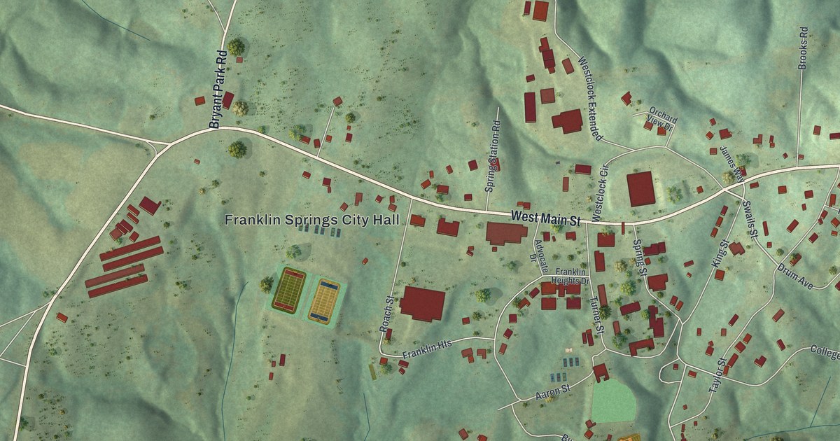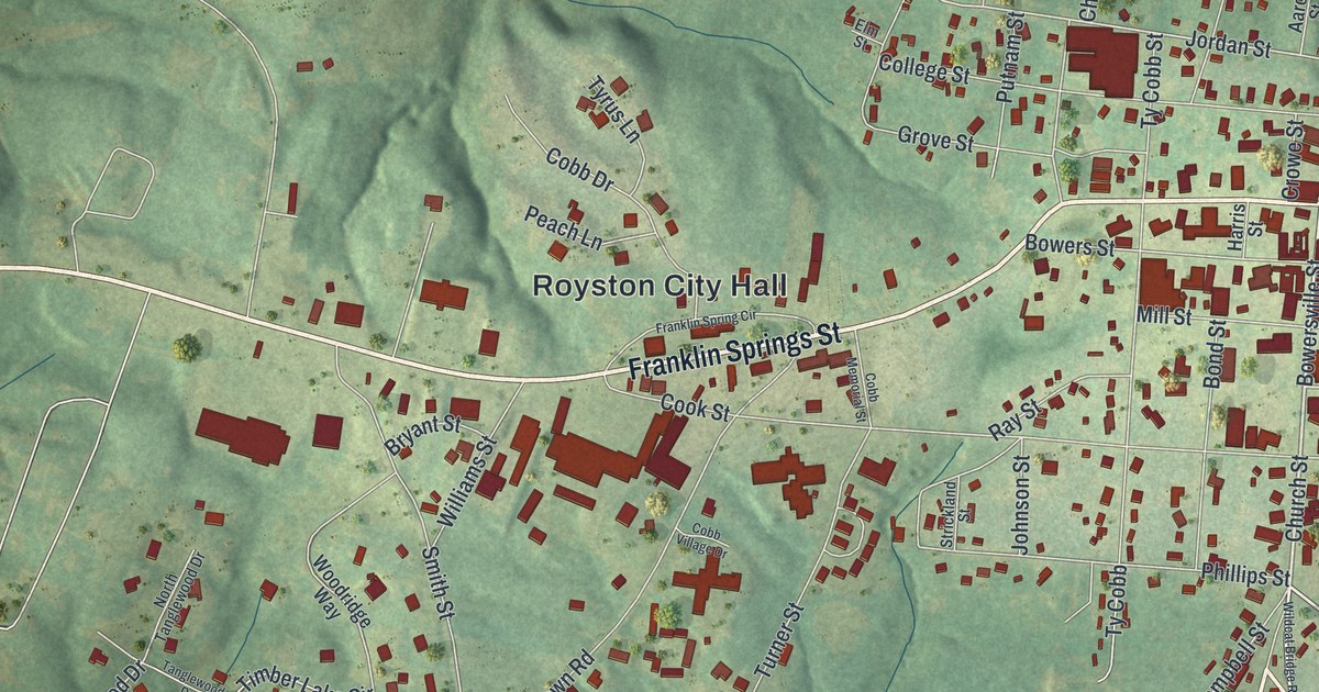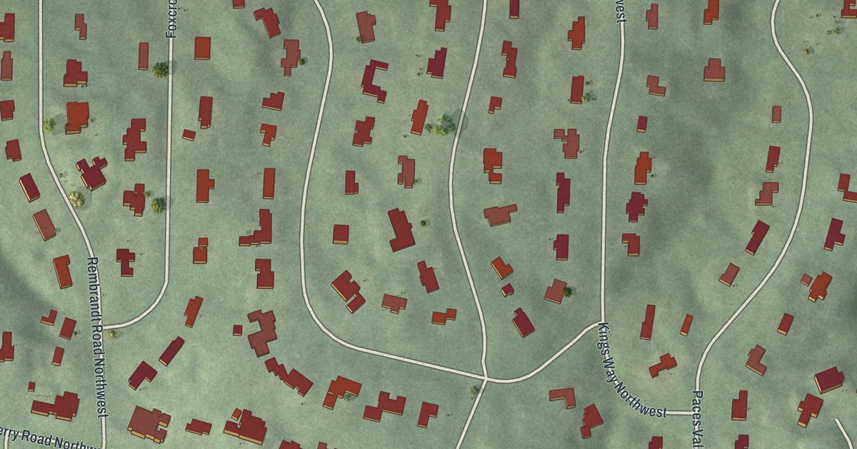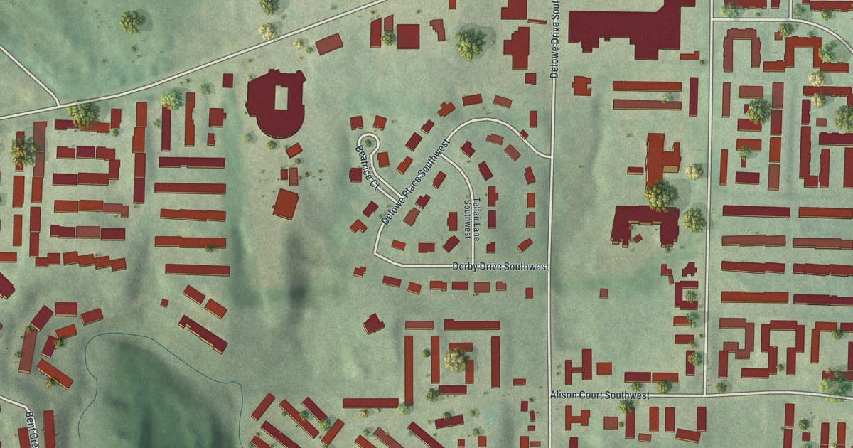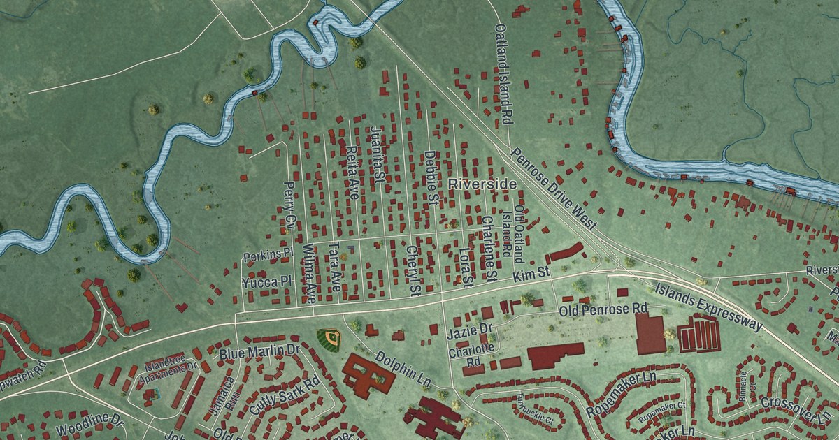
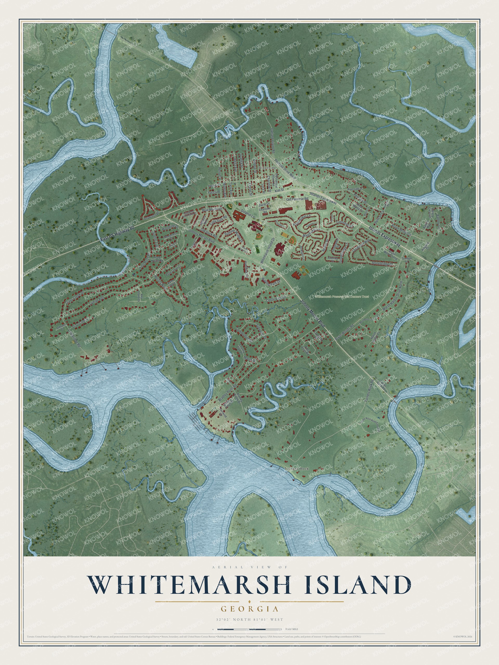
This beautifully detailed map of Whitemarsh Island, Georgia was created in 2026 using aerial imagery combined with modern topographical, census, street and landmark data. It’s a one-of-a-kind view of Whitemarsh Island that combines accurate data with a vintage aesthetic. The map shows every building in its true location, many of the roads carry their names, and the shaded topographic relief shows the shape of the land.
Explore an aerial view of Whitemarsh Island, Georgia
On the map you’ll find Turners Rock, Riverside, and Whitemarsh Preserve aka Demere Tract, along with Islands Expressway, Johnny Mercer Boulevard, Walden Park Drive, Whitmarsh Island Drive, Kim Street, and more. If you look closely you can even find your house accurately drawn in its correct location. Zoom in on the preview to look for yours.
Take a closer look at the Whitemarsh Island map
Names on this map
These names are printed on this map.
Places: Turners Rock, Riverside and Whitemarsh Preserve aka Demere Tract.
Streets and roads: Islands Expressway, Johnny Mercer Boulevard, East US Highway 80, Walden Park Drive, Whitmarsh Island Drive, Kim Street, Penrose Drive, Turners Rock Road, Lyman Hall, Bryan Woods Road, Bradley Point Road, Mapmaker Lane.
More street names, A to Z
Anchor Court, Andrews Road, Autumn Leaves Court, Battery Circle, Battery Crescent, Battery Way, Binnacle Court, Blue Marlin Drive, Bobstay Court, Bowsprit Lane, Bradley Creek Drive, Bradley Pines Drive, Bryan Wood Circle, Bryan Woods Loop, Cedar View Drive, Charlene Street, Charlotte Road, Cheryl Street, Commodore Drive, Country Club Drive, Crossover Lane, Cutty Sark Road, Debbie Street, Dolphin Lane, Fairwind Road, Goette Trail, Grays Creek Court, Grays Creek Drive, Gunpowder Drive, Hammock Vw, Herons Nest, Islandtree Apartments Drive, Jamaica Run, Jazie Drive, Juanita Street, Judsons Court, Key Island Drive, Kingbird Court, Landward Way, Longbridge Road, Longfield Drive, Lora Street, Manta Cv, Marsh Drive, Marsh Harbor Cv, Marsh Harbor Drive North, Marsh Harbor Drive South, Mary's Court, North Marsh Road, Oatland Island Road, Old Dock Road, Old Oatland Island Road, Old Penrose Road, Palm Grove, Palm Grove Court, Pelican Cv, Penrose Drive West, Perkins Place, Perry Cv, Piney Point Road, Plank House Road, Redan Drive, Reita Avenue, Riverside Drive, Ropemaker Court, Ropemaker Lane, Schooner Drive, Shipwatch Road, Shorecrest Court, Stonebridge Drive, Stonebridge Lane, Summer Winds Drive, Tara Avenue, Turnbuckle Court, Turnbull Lane, Turner Rock Road, Turner Rock Road Extended, West Manta Cv, Whitemarsh Way, Wilma Avenue, Woodline Drive, Yucca Place.
See it on a wall
The Whitemarsh Island map as a framed print. Swipe for more.


This beautifully detailed map of Whitemarsh Island makes an attractive addition to your office, library, or den, and it can even be used to teach children the geography and history of the area. It also makes a great gift for anyone with Whitemarsh Island roots. When you’re done exploring, click here to get your copy of the Whitemarsh Island map.