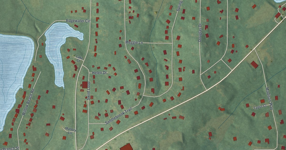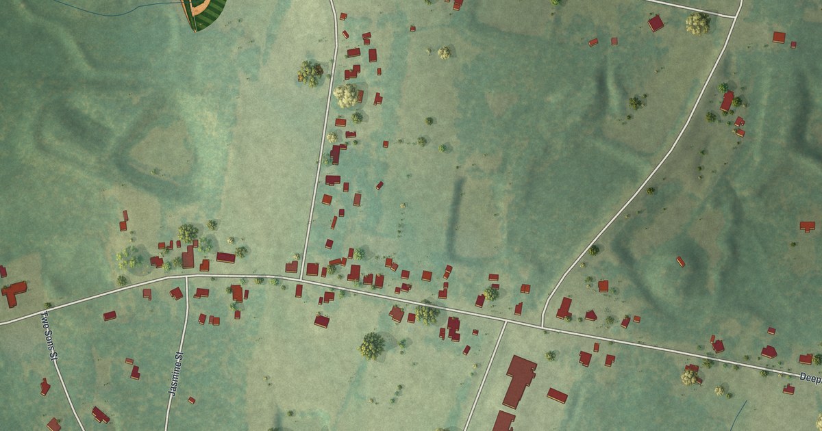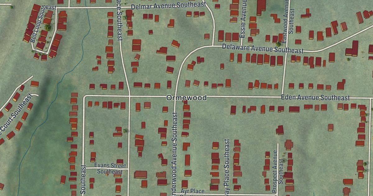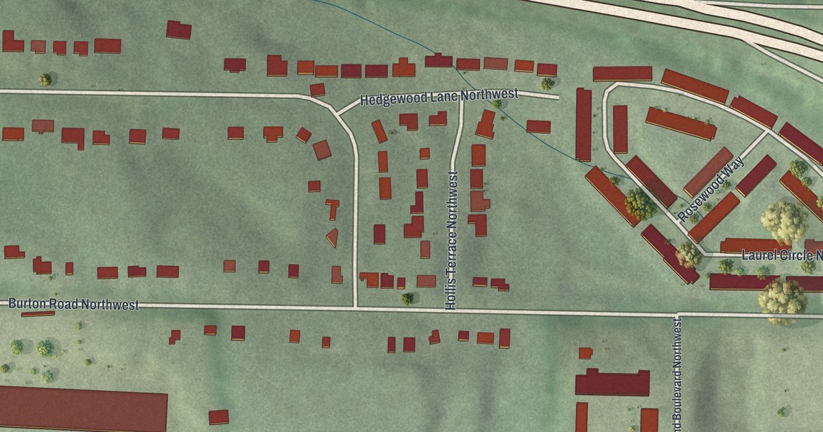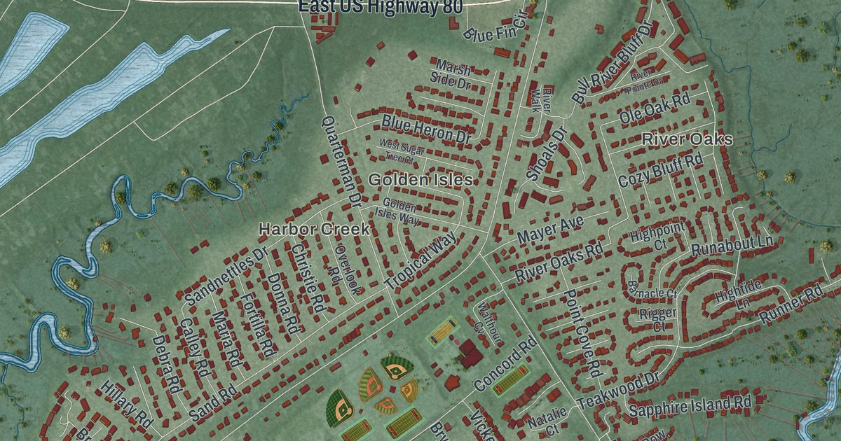
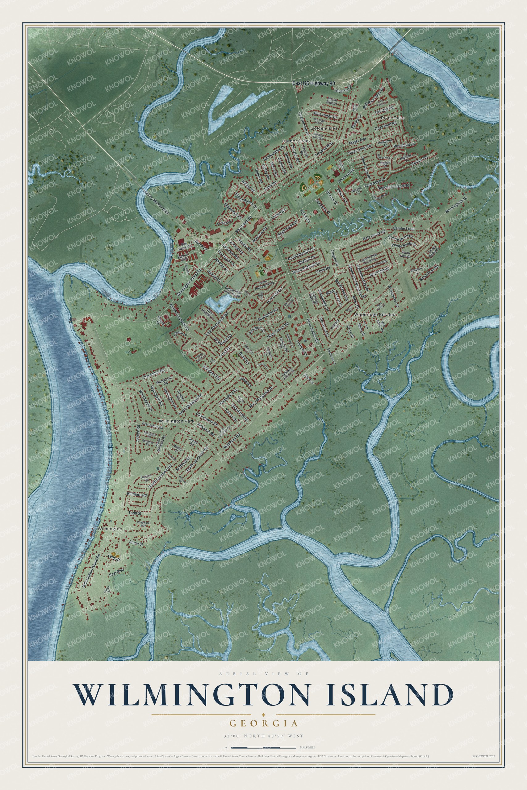
This beautifully detailed map of Wilmington Island, Georgia was created in 2026 using aerial imagery combined with modern topographical, census, street and landmark data. It’s a one-of-a-kind view of Wilmington Island that combines accurate data with a vintage aesthetic. The map shows every building in its true location, many of the roads carry their names, and the shaded topographic relief shows the shape of the land.
Explore an aerial view of Wilmington Island, Georgia
On the map you’ll find River Oaks, Wilmington, Golden Isles, Harbor Creek, and Wilmington Park, along with Sea Island Drive, Sheftall Circle, Wilmington Island Road, Burns Lane, Palmetto Bay Road, and more. If you look closely you can even find your house accurately drawn in its correct location. Zoom in on the preview to look for yours.
Did You Know?
John Barnard was one of the early colonists to claim land on Wilmington Island. He asked the leaders of colonial Georgia for 500 acres there. They agreed because he had lived long in the colony and was known as a capable man. They hoped the Trustees in England would confirm the grant. That’s from the Colonial Records of the State of Georgia.
Take a closer look at the Wilmington Island map
Names on this map
These names are printed on this map.
Places: River Oaks, Wilmington, Golden Isles, Harbor Creek, Wilmington Park and Woodridge Estates.
Streets and roads: East US Highway 80, Sea Island Drive, South Sheftall Circle, Wilmington Island Road, North Sheftall Circle, Burns Lane, Palmetto Bay Road, East Boulevard, Trafford Lane, Walthour Road, Johnny Mercer Boulevard, Willmington Island Road.
More street names, A to Z
Angel Oaks Drive, Ashley Road, Barnacle Court, Betz Creek Road, Billy Sasser Road, Biltmore Road, Black Forest Drive, Blue Fin Circle, Blue Heron Drive, Bob White Road, Boxwood Drive, Breeze Court, Brevard Court, Brickhaven Road, Broad Reach Court, Brompton Road, Bryson Drive, Bull River Bluff Drive, Calibogue Road, Calley Road, Captain John's Drive, Carlton Road, Chancery Lane, Chatsworth Road, Christie Road, Clarendon Road, Clayton Street, Cobb Road, Cohen Street, Concord, Concord Road, Copperfield Drive South, Cozy Bluff Road, Crisp Street, Cromwell Court, Debra Road, Devonshire Road, Dockside Drive, Dombey Road, Donna Road, Druid Circle, Druid Court, Druid Road, East Deerwood Road, Eastview Lane, Elmsford Court, Farringdon Circle, Fortilla Road, Gloucester Road, Golden Isles Way, Grosvenor Road, Halifax Road, Hampshire Road, Highpoint Court, Hightide Lane, Hillary Road, Holborn Lane, Island Creek Lane, Lagoon View Crossing, Landon Lane, Lang Street, Lantern Lane, Larbre Road, Leaning Oaks Drive, Manchester Road, Maria Road, Marsh Side Drive, Mary Musgrove Drive, Mayer Avenue, Mims Street, Montague Road, Montford Road, Morningside Drive, Moss Court, Moss Drive, Moss Pointe Court, Nassau Drive, Natalie Court, Navigator Lane, North Cromwell Road, North Lancaster Road, North Millward Road, North Street, Oakleaf Drive, Oemler Loop, Okatee Drive, Olde Towne Place Drive, Olde Towne Road, Ole Oak Road, Ossabaw Road, Overlook Road, Palmer Boulevard, Palmetto Drive, Penn Station, Penn Waller Road, Picket Row, Pickwick Road, Point Cove Road, Pointe North Drive, Pointe South Drive, Port Royal Drive, Quarterman Drive, Regal Court, Rigger Court, River Oaks Road, River Pointe Drive, River Walk, Runabout Lane, Runner Road, Saint Andrews Way, Salisbury Road, Sandnettles Drive, Sand Road, Sapelo Road, Sapphire Island Road, Sea Palm Road, Shad River Road, Sheftall Cv, Shipwreck Court, Shoals Drive, South Cromwell Road, South Lake Drive, South Lancaster Road, South Millward Road, Stafford Road, Steerforth Road, Stone Street, Suffolk Road, Surrey Road, Sweet Bailey Cv, Sweet Gum Road South, Sycamore Crossing, Talbot Road, Teakwood Drive, Todd Street, Tropical Way, Vickery Lane, Wales Court, Walthour Cv, Wassaw Road, Welch Street, Wellington Road, West Gazebo Lane, West Sugar Tree Court, Wigmore Court, Winchester Drive, Windward Way, Woodpecker Road, Woodridge Drive, Wyckfield Road, Wynngate Road.
See it on a wall
The Wilmington Island map as a framed print. Swipe for more.


This beautifully detailed map of Wilmington Island makes an attractive addition to your office, library, or den, and it can even be used to teach children the geography and history of the area. It also makes a great gift for anyone with Wilmington Island roots. When you’re done exploring, click here to get your copy of the Wilmington Island map.