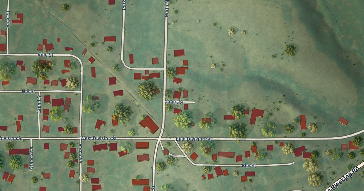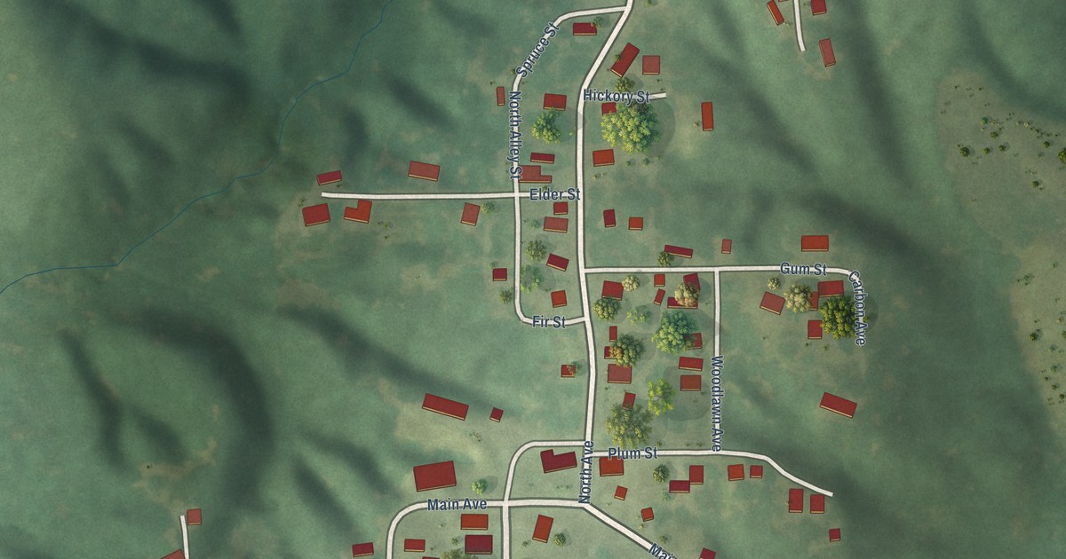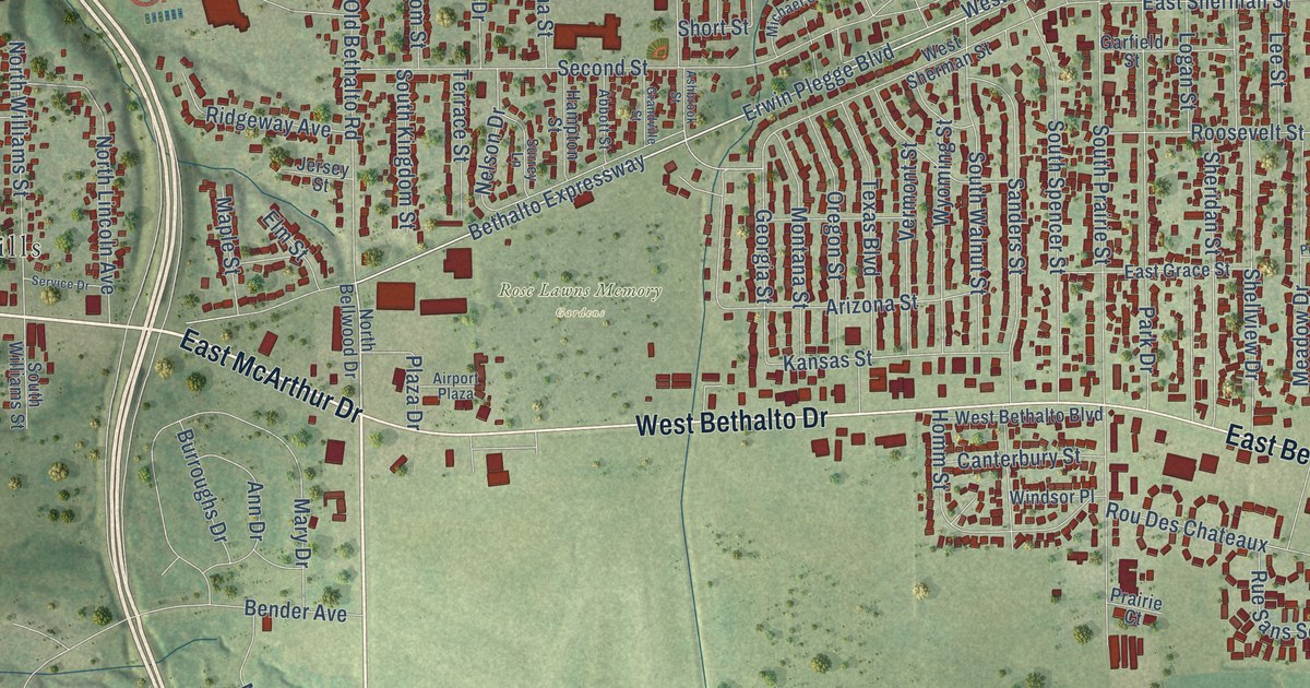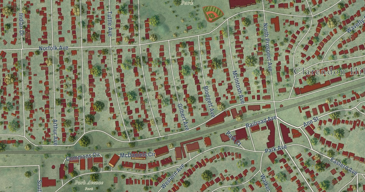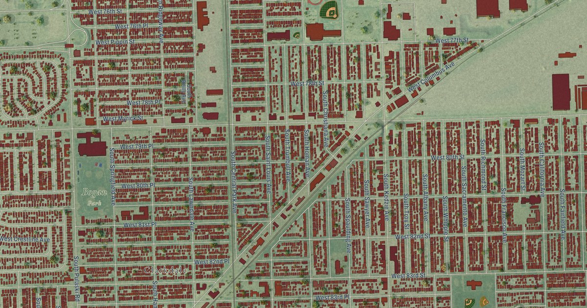
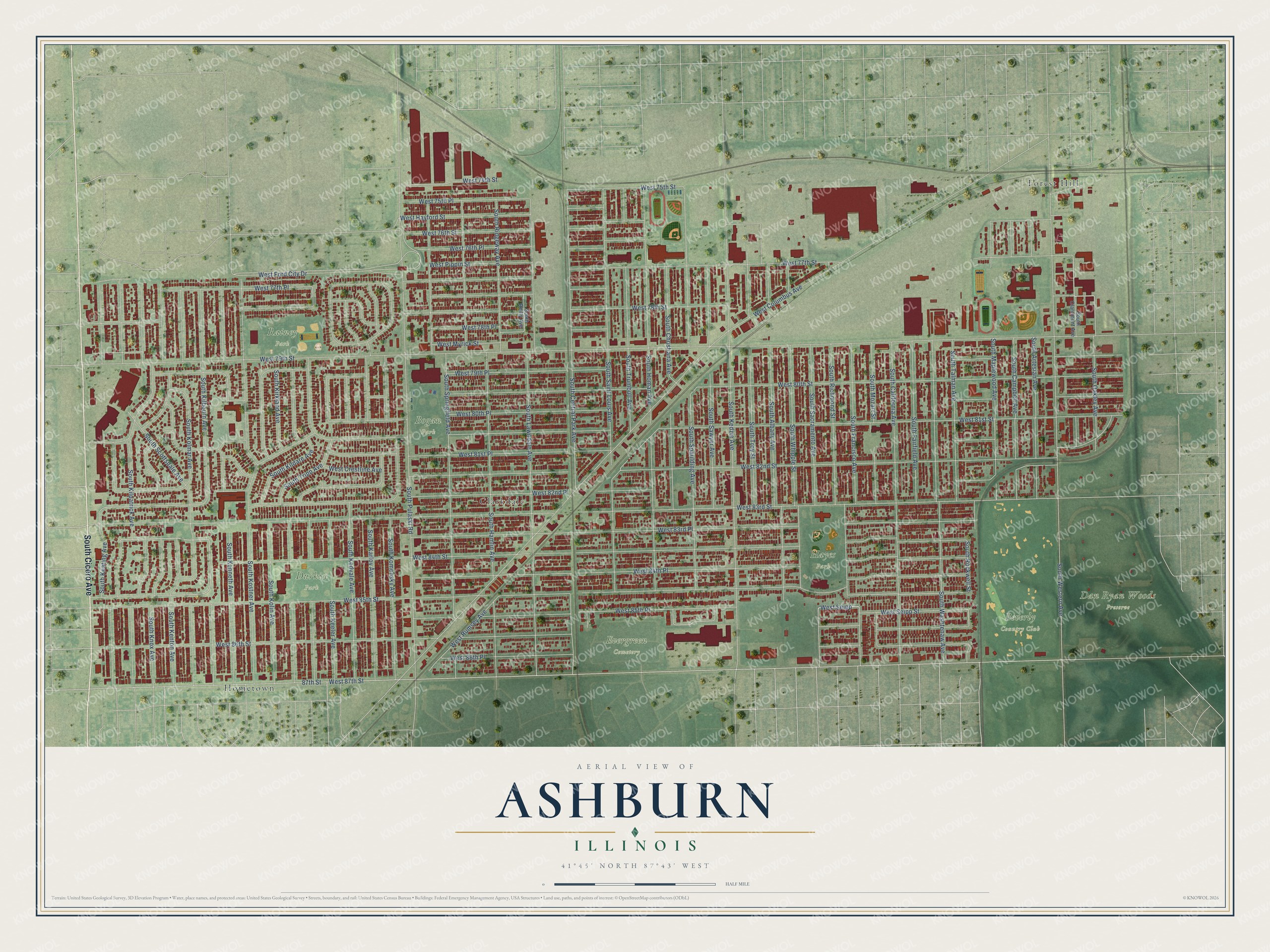
This beautifully detailed map of Ashburn, Illinois was created in 2026 using aerial imagery combined with modern topographical, census, street and landmark data. It’s a one-of-a-kind view of Ashburn that combines accurate data with a vintage aesthetic. The map shows every building in its true location, many of the roads carry their names, and the shaded topographic relief shows the shape of the land.
Explore an aerial view of Ashburn, Illinois
On the map you’ll find Beverly Country Club, Bogan Park, Dan Ryan Woods Preserve, Durkin Park, Evergreen Cemetery, Hayes Park, Rainey Park, Forest Hill, Hometown, and Clarkdale, along with South Cicero Avenue, West 78th Street, and more. If you look closely you can even find your house accurately drawn in its correct location. Zoom in on the preview to look for yours.
Did You Know?
From Internet Archive: "On March 10, 1946, services and Sunday school sessions were started in the Ashburn Public School, West Eighty-third Street and Hamlin Avenue, at a rental of fifteen dollars per Sunday."
Ashburn is a place in Cook County.
Take a closer look at the Ashburn map
Names on this map
These names are printed on this map.
Places: Beverly Country Club, Bogan Park, Dan Ryan Woods Preserve, Durkin Park, Evergreen Cemetery, Hayes Park, Rainey Park, Forest Hill, Hometown and Clarkdale.
Streets and roads: South Cicero Avenue, West 78th Street, West 83rd Place, South Kilbourn Avenue, West 84th Place, South Kenneth Avenue, West 85th Place, West Seipp Street, South Rockwell Street, West Seipp, South Keeler Avenue, West 86th Street.
More street names, A to Z
87th Street, South Albany Avenue, South Artesian Avenue, South California Avenue, South Campbell Avenue, South Central Park Avenue, South Christiana Avenue, South Claremont Avenue, South Fairfield Avenue, South Francisco Avenue, South Hamlin Avenue, South Homan Avenue, South Karlov Avenue, South Keating Avenue, South Kedvale Avenue, South Kedzie Avenue, South Kenton Avenue, South Kildare Avenue, South Kilpatrick Avenue, South Kirkland Avenue, South Knox Avenue, South Kolin Avenue, South Kolmar Avenue, South Komensky Avenue, South Kostner Avenue, South Lawndale Avenue, South Maplewood Avenue, South Mozart Street, South Oakley Avenue, South Pulaski Road, South Reilly Avenue, South Richmond Street, South Ridgeway Avenue, South Sacramento Avenue, South Saint Louis Avenue, South Sawyer Avenue, South Scottsdale Avenue, South Spaulding Avenue, South Springfield Avenue, South Talman Avenue, South Tripp Avenue, South Troy Street, South Trumbull Avenue, South Washtenaw Avenue, South Western Avenue, South Whipple Street, West 74th Street, West 75th Place, West 75th Street, West 76th Place, West 76th Street, West 77th Place, West 77th Street, West 78th Place, West 79th Place, West 79th Street, West 80th Place, West 80th Street, West 81st Place, West 81st Street, West 82nd Place, West 82nd Street, West 83rd Street, West 84th Street, West 85th Street, West 86th Place, West 87th Street, West Columbus Avenue, West Crestline Avenue, West Ford City Drive, West Hayford Street, West Myrick Street, West Pippin Street, West Rumsey Avenue.
See it on a wall
The Ashburn map as a framed print. Swipe for more.


This beautifully detailed map of Ashburn makes an attractive addition to your office, library, or den, and it can even be used to teach children the geography and history of the area. It also makes a great gift for anyone who grew up in Ashburn or moved away. When you’re done exploring, click here to get your copy of the Ashburn map.