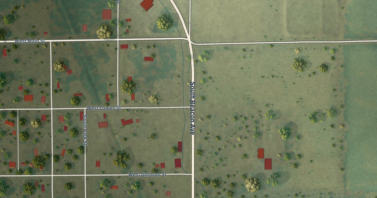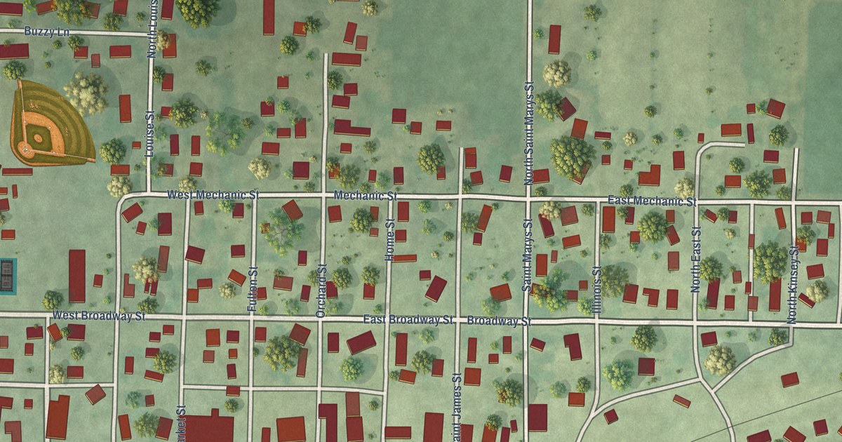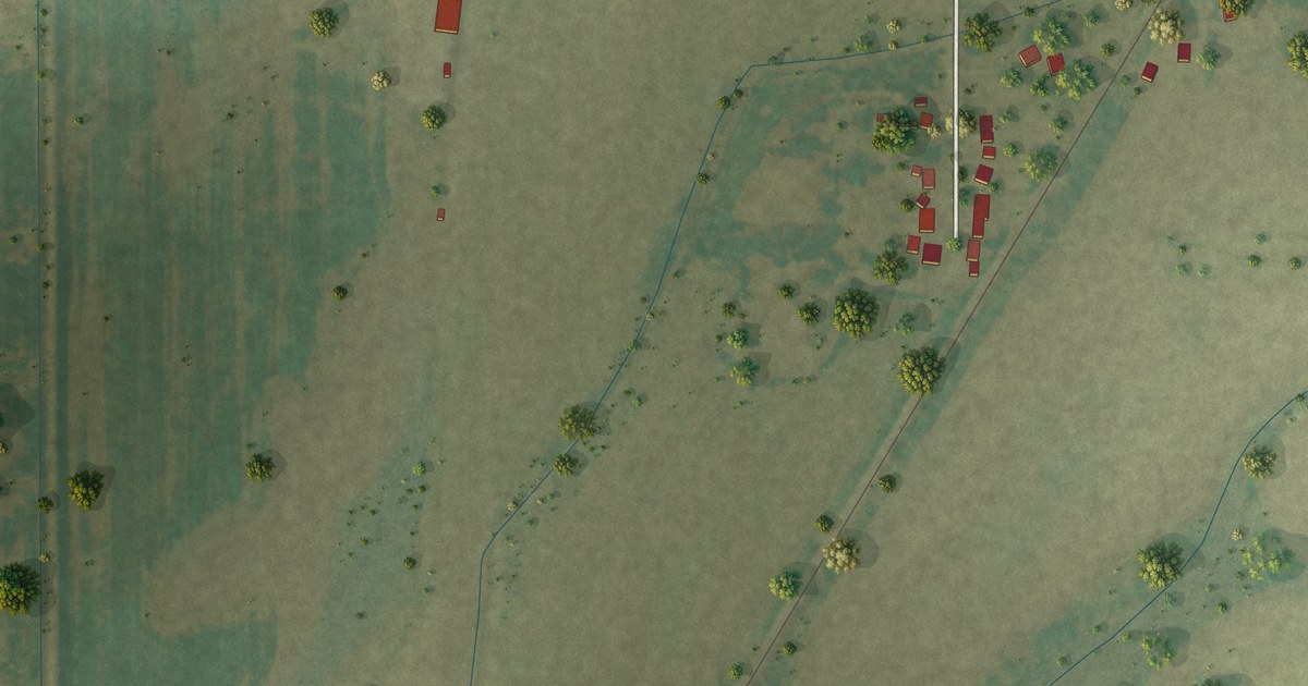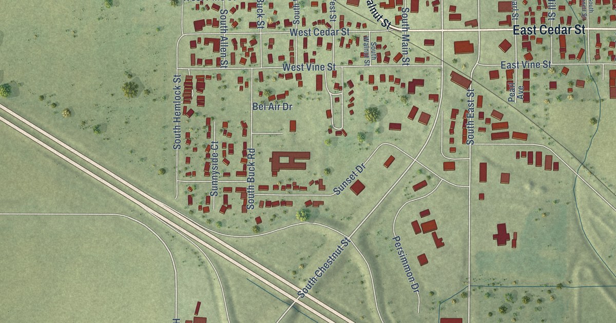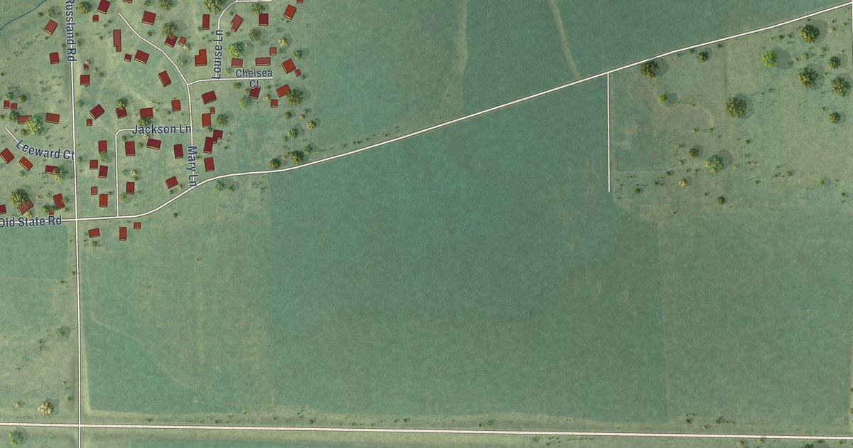
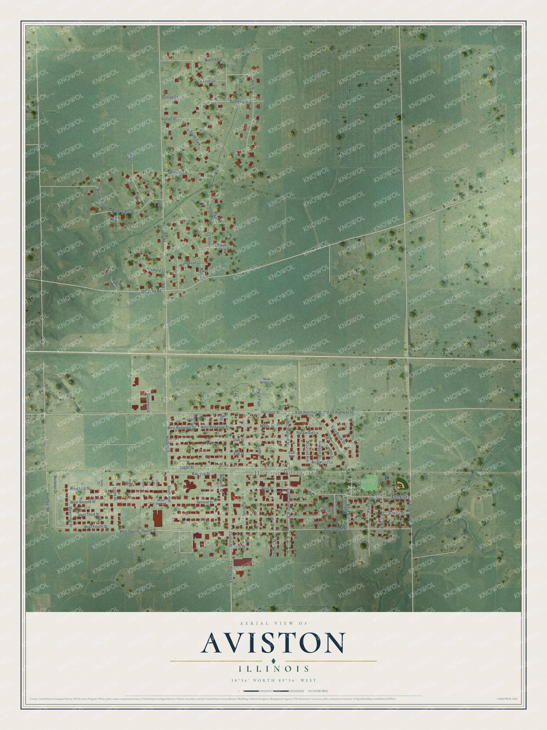
This beautifully detailed map of Aviston, Illinois was created in 2026 using aerial imagery combined with modern topographical, census, street and landmark data. It's a modern aerial view of Aviston in Clinton County, Illinois, that combines modern data with a vintage aesthetic. The roads feature printed names, and if you look closely you can find your exact house accurately shown in its correct location.
Explore an aerial view of Aviston, Illinois
On this map you'll find Historic Village Hall, Aviston Community Park, Kopff Field, Fourth Street, South Cleveland Street, Briarwood Lane, Railroad Street, West Fourth, North Cleveland Street, Logan Street, Harrison Street, Bertelen Drive, and more. Each red shape is a building, so zoom in on the preview and look for yours.
Aviston has a story worth telling. The Marion and Clinton County History puts it this way: "Aviston, originally Hull, was laid out in 1860 by J. W. Dugger and Co."
Aviston is a village in Clinton County. The Census Bureau counted 2,340 people here in 2020.
Take a closer look at the Aviston map
Names on this map
These names are printed on this map.
Places: Historic Village Hall, Aviston Community Park and Kopff Field.
Streets and roads: Fourth Street, South Cleveland Street, Briarwood Lane, Railroad Street, West Fourth, North Cleveland Street, Logan Street, Harrison Street, Bertelen Drive, West Fourth Street, North Page, Russland Road.
More street names, A to Z
Adams Street, Bradford Avenue, Chelsea Court, Clement Street, Clinton Street, Clover Court, Commercial, County Highway 8, Crimson Court, Eagle Drive, East Brook Drive, East Elm, East First Street, East Fourth Street, East Harrison Street, Elm Street, Fifth Street, First Street, Gennifer Lane, Ivory Court, Jackson Lane, Jem Drive, Kalmer Drive, Kues Avenue, Leah Lane, Leeward Court, Linden Drive, Locust Lane, Louise Lane, Maple Court, Maple Street, Mary Lane, Meadow Street, Newport Drive, North Fork, North Hull, Oak Street, Old State Road, Old US Highway 50, Page Street, Park Avenue, Poettker Road, Poplar Street, Regal Drive, Richter Road, Rose Street, Rosewood Lane, Royal Court, Schumacher Road, Second Street, South Fork, South Hull, Spring Street, Steel Bridge Street, Summercrest, Sunrise Court, Sunset Drive, Third Street, Tucker Court, Walnut Hill Drive, West First Street, Westmore Drive, West Redwood Drive, West Redwood Street, West Second, West Second Street, West Third Street, Willow Bend Drive.
Created by KNOWOL in 2026. The buildings are small red shapes, the roads carry their printed names, and shaded relief shows the shape of the land. The title panel reads "AERIAL VIEW OF AVISTON ILLINOIS" with 38°36' NORTH 89°36' WEST.
It looks right in a kitchen, an office or a den, and it's a gift for anyone who grew up in Aviston or moved away. Open the preview and find your street. See sizes and frames for the Aviston map.