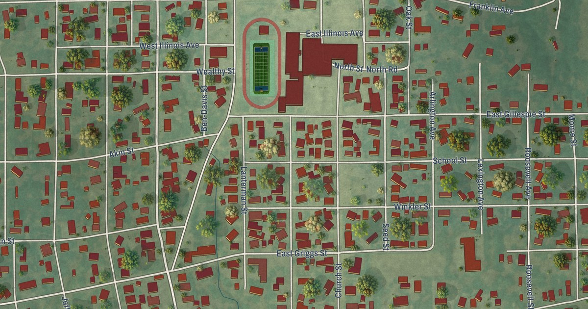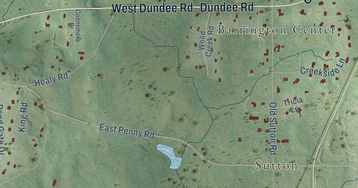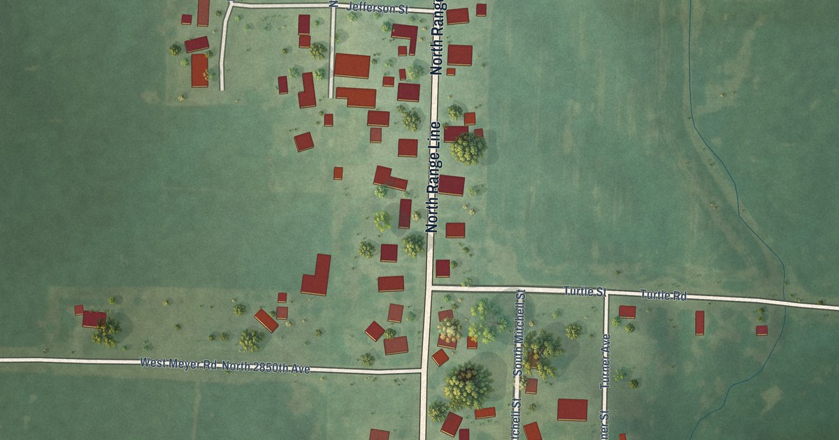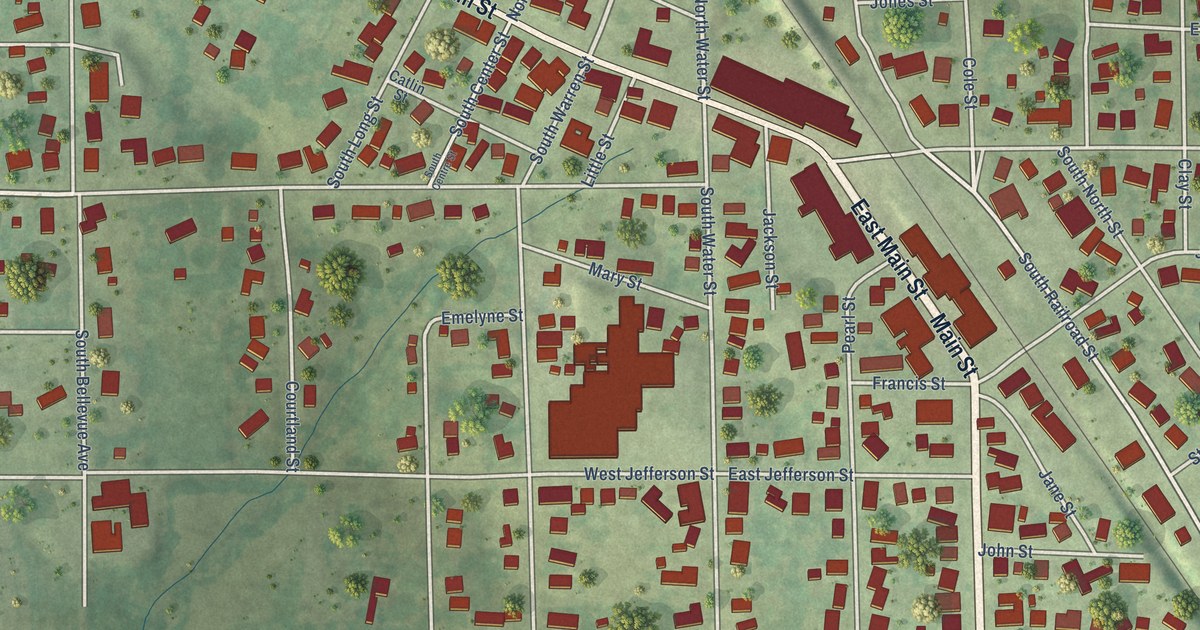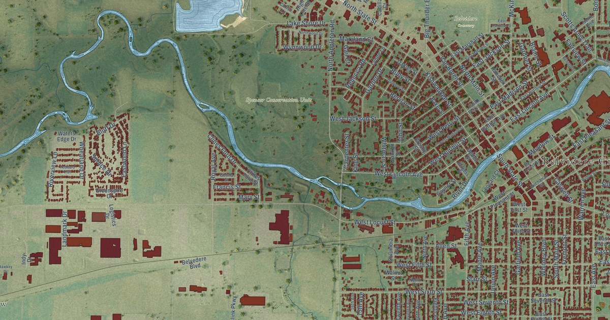
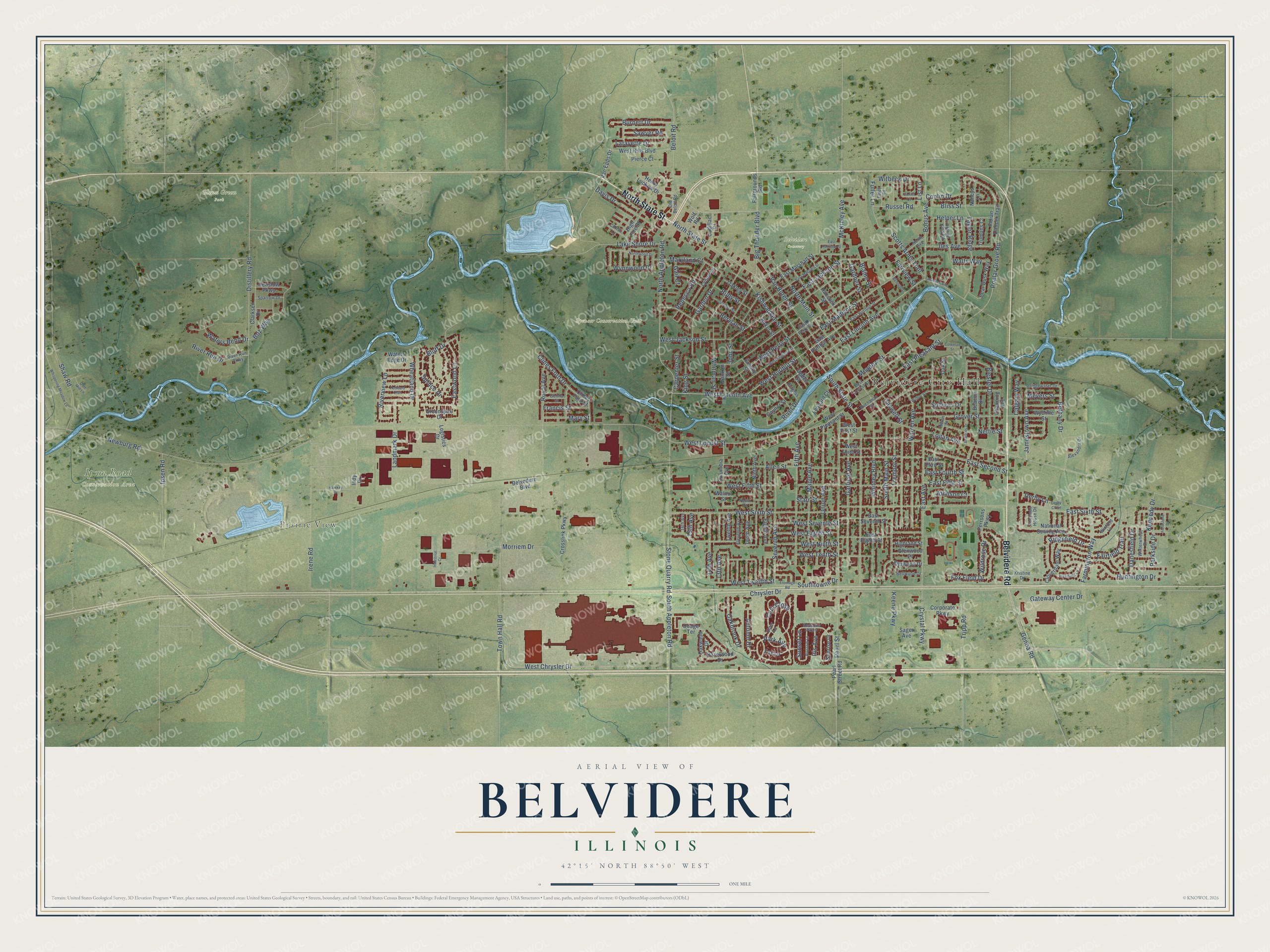
This beautifully detailed map of Belvidere, Illinois was created in 2026 using aerial imagery combined with modern topographical, census, street and landmark data. It’s a one-of-a-kind view of Belvidere that combines accurate data with a vintage aesthetic. The map shows every building in its true location, many of the roads carry their names, and the shaded topographic relief shows the shape of the land.
Explore an aerial view of Belvidere, Illinois
On the map you’ll find Belvidere City Hall, Prairie View, Belvidere Cemetery, Glenn Green Park, Ipson Road Conservation Area, and Spencer Conservation Unit, along with Belvidere Road, North State Street, South Appleton Road, West Lincoln Avenue, East Lincoln Avenue, Stone Quarry Road, and more. If you look closely you can even find your house accurately drawn in its correct location. Zoom in on the preview to look for yours.
Did you know this piece of Belvidere, Illinois history?
From the Boone County History: "In December, 1836, a post-office was established at Belvidere, being the first on the northern route between Chicago and Galena."
Take a closer look at the Belvidere map
Street and place names on the Belvidere, Illinois map
These names are printed on the map of Belvidere, Illinois.
Places: Belvidere City Hall, Prairie View, Belvidere Cemetery, Glenn Green Park, Ipson Road Conservation Area and Spencer Conservation Unit.
Streets and roads: Belvidere Road, North State Street, South Appleton Road, West Lincoln Avenue, East Lincoln Avenue, Stone Quarry Road, Genoa Road, North Appleton Road, Big Thunder Boulevard, Fremont Street, West Chrysler Drive, Bonus Avenue.
More street names, A to Z
13th Avenue, 14th Avenue, 15th Avenue, 16th Avenue, Alexandra Drive, Allen Street, American House Drive, Andrews Drive, Autumn Drive, Baker Street, Beacon Drive, Bear Dusk Way, Bellwood Drive, Beloit Road, Belvedere Boulevard, Bennett Street, Berylan Street, Bethany Drive, Biester Drive, Blaine Street, Bliss Street, Blossom Lane, Bluff Drive, Boz Way, Bridgewater Drive, Buchanan Street, Burgess Street, Burnett Drive, Cadillac Court, Calgary Way, Carpenter Street, Caswell Street, Channing Avenue, Christi Lane, Chrysler Drive, Clarksen Drive, Clines Ford Drive, Clines Ford Street, Cloverdale Way, Club Close, Coleman Street, Columbia Avenue, Conlin Court, Conlin Drive, Corporate Parkway, Crosby Street, Crosslink Parkway, Crystal Parkway, Dalbigne Street, Danesfield Drive, Davis Drive, Derby Close, Derby Lane, Distillery Road, Dodge Terrace, East Avenue, East Eighth Street, East Fifth Street, East Fourth Street, East Harrison Street, East Hurlbut Avenue, East Hurlbut Street, East Jackson Street, East Locust Street, East Macomb Street, East Madison Street, East Marshall Street, East Perry Street, East Pleasant Street, East Second Street, East Seventh Street, East Sixth Street, East Third Street, Eastwood Lane, Eighth Avenue, Elder Lane, Eleventh Avenue, Elmwood Drive, Fairfield Trail, Fairgrounds Road, Fairview Street, Farmington Way, Fieldstone Drive, Fifth Avenue, Foley Road, Fox Field Drive, Fox Lane, Francis Street, Franklin Street, Frontage Road, Fuller Lane, Gail Court, Garden Drive, Gardner Street, Garfield Avenue, Gateway Center Drive, Gaynor Street, Genna Street, Glenwood Drive, Greenspire Court, Grover Street, Hancock Street, Hawkey Drive, Hazelwood Drive, Helen Street, Helper Lane, Henry Luckow Drive, Henslow Parkway, Highland Street, High Line Street, Hubbard Trail, Huntington Drive, Iles Avenue, Indian Dancer Trail, Industrial Court, Indy Drive, Ipsen Road, Irene Road, Iris Avenue, Jamestown Avenue, Johnson Court, John Street, Keene Parkway, Kennedy Drive, King Street, Kishwaukee Street, Kristine Drive, Lafayette Drive, Lake Shore Drive, Landmark Drive, Lawrenceville Road, Leonard Court, List Lane, Logan Avenue, Logistics Drive, Lynne Lane, Maple Avenue, Maryland Court, Mary Street, McKinley Avenue, Meadow Street, Meyers Street, Morriem Drive, Nancys Lane, National Sewing Avenue, Nettie Street, Nevin Court, Newburg Road, Ninth Avenue, North Avenue, North Main Street, Northwood Drive, Oakbrook Drive, Oakley Street, Oak Street, Oakwood Drive, Ogden Street, Old Beloit Road, Olde Mill Lane, Park Avenue, Parkside Drive, Pearl Street, Pearl Street Road, Perrsons Parkway, Pierce Court, Poplar Grove Road, Rebecca Road, Ridgefield Drive, River Drive, River Run Drive, River Run Parkway, Riverview Lane, Royal Avenue, Ruby Street, Russel Road, Rythym King Road, Sager Avenue, Sawyer Road, Scotts Army Trail, Seasons Parkway, Seventh Avenue, Shaw Road, South Main Street, South State Street, Southtowne Drive, Sparrow Drive, Spruce Drive, Starr Street, Sullivan Drive, Sunrise Drive, Sunset Lane, Taylor Ridge, Tenth Avenue, Town Hall Road, Tripp Road, Trumans Court, Twelfth Avenue, Union Avenue, Van Buren Street, Van Epps Drive, Walnut Street, Walts Way, Warren Avenue, Waters Bend Drive, Waters Edge Drive, West Eighth Street, Westfield Lane, West Fifth Street, West First Street, West Hills Boulevard, West Hurlbut Street, West Jackson Street, West Locust Street, West Madison Street, West Ninth Street, West Perry Street, West Pleasant Street, West Seventh Street, West Sixth Street, West Tenth Street, West Third Street, West Twelfth Street, Wheatland Drive, Whispering Meadow Lane, Whitman Street, Whitney Boulevard, Wildrose Drive, Willow Street, Winfield Lane, Winterwheat Drive, Witbeck Drive, Wolf Road, Wycliffe Street, Wynnwood Drive.
See the Belvidere, Illinois map on a wall
The Belvidere map as an 18 x 24 inch print in a black frame.

This beautifully detailed map of Belvidere makes an attractive addition to your office, library, or den, and it can even be used to teach children the geography and history of the area. It also makes a great gift for anyone who grew up in Belvidere or moved away. When you’re done exploring, click here to get your copy of the Belvidere map.