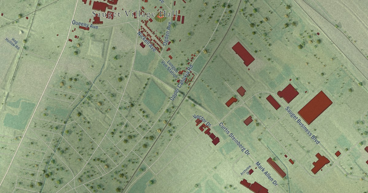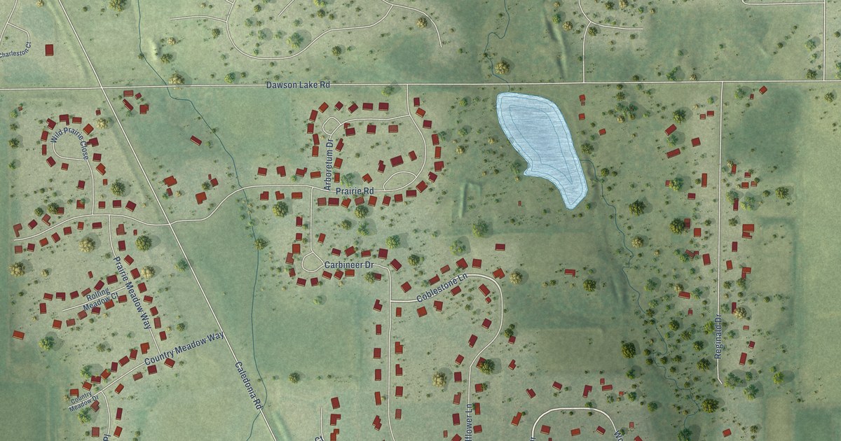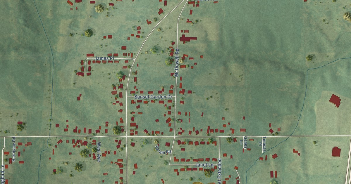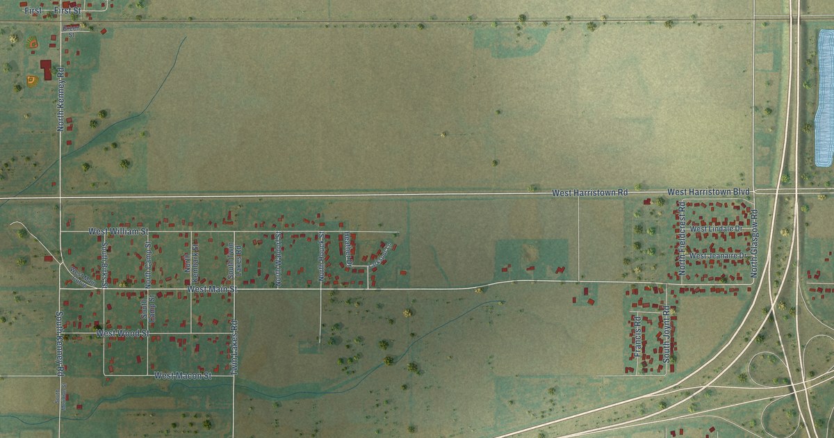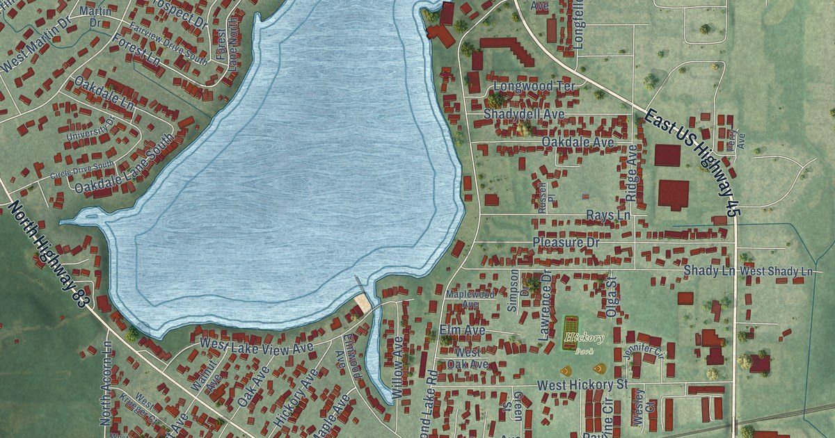
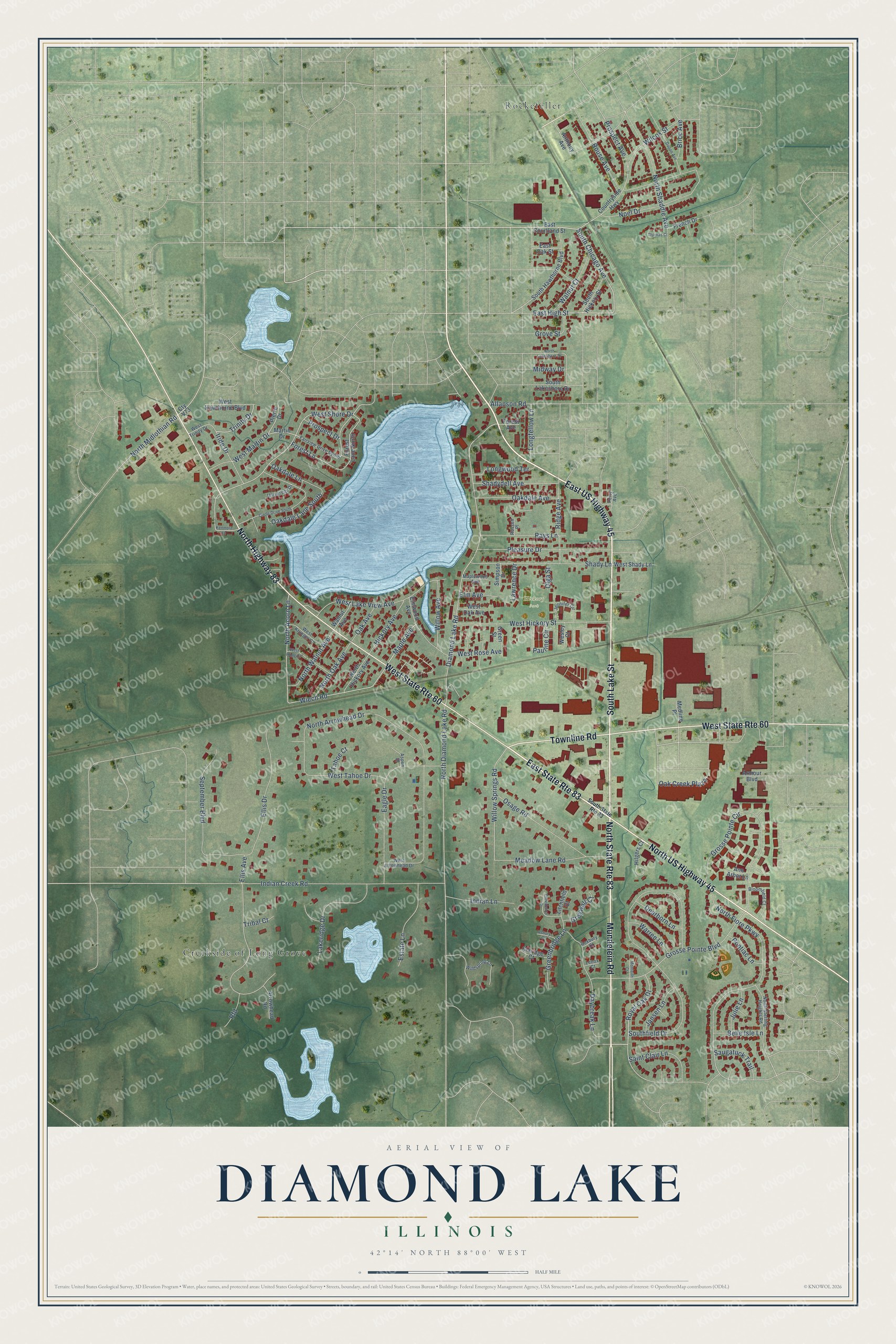
This beautifully detailed map of Diamond Lake, Illinois was created in 2026 using aerial imagery combined with modern topographical, census, street and landmark data. It’s a one-of-a-kind view of Diamond Lake that combines accurate data with a vintage aesthetic. The map shows every building in its true location, many of the roads carry their names, and the shaded topographic relief shows the shape of the land.
Explore an aerial view of Diamond Lake, Illinois
On the map you’ll find Hickory Park, Creekside of Long Grove, Rockefeller, and Oak Creek Plaza, along with South Lake Street, Mundelein Road, North Highway 83, North US Highway 45, East US Highway 45, Townline Road, South Chicago Avenue, East High Street, and more. If you look closely you can even find your house accurately drawn in its correct location. Zoom in on the preview to look for yours.
Did You Know?
In 1835, William Fenwick put up the first house by the lake. Later the Ray family farm by the water grew into Lakeside Cottage Resort, with boat rentals and a dance pavilion. Stars such as Jack Benny, Glenn Miller and Lawrence Welk played the pavilion. Dancing there ended in 1946, and the resort shut in 1949.
Diamond Lake is a community in Lake County.
Take a closer look at the Diamond Lake map
Names on this map
These names are printed on this map.
Places: Hickory Park, Creekside of Long Grove and Rockefeller.
Streets and roads: South Lake Street, Mundelein Road, East State Route 83, North Highway 83, North US Highway 45, East US Highway 45, Townline Road, North State Route 83, West State Route 60, South Chicago Avenue, East High Street, Oak Creek Plaza.
More street names, A to Z
Allanson Road, Ann Arbor Lane, Anthony Avenue, Armour Boulevard, Arrowhead Road, Asbury Court, Aspen Drive, Belle Isle Lane, Bloomfield Court, Brice Avenue, Circle Drive South, Claridge Court, Countryside Highway, Cty V73, Dalton Avenue, Daybreak Lane, Dearborn Lane, Diamond Lake Road, Eagle Drive, East Courtland Street, East Oak Street, Ellis Avenue, Ellis Drive, Elm Avenue, Elmwood Avenue, Estate Lane, Fairview Drive South, Forest Avenue, Forest Lane, Forest Lane North, French Drive, Greenbridge Lane, Green Street, Greywall Court, Grosse Pointe Boulevard, Grosse Pointe Circle, Grove Street, Hickory Avenue, Hilgers Court, Indian Creek Road, Indian Lane, Iride Drive, Jansen Lane, Jennifer Circle, Julie Lane, Kenmore Lane, Lakeridge Drive, Lawrence Drive, Lenox Court, Litchfield Court, Longfellow Lane, Longwood Terrace, Maple Avenue, Maplewood Avenue, Martin Drive, Meadow Lane Road, Medline Place, Midway Drive, Monteith Court, Noel Drive, North Acorn Lane, North Arrowhead Drive, North Diamond Lake Road, North Fiore Parkway, North Hickory Avenue, North Lakeshore Drive, North Midlothian Road, North Oak Avenue, North Shaddle Avenue, North Sterling Heights Road, North Walnut Avenue, Oak Avenue, Oakdale Avenue, Oakdale Lane, Oakdale Lane South, Olga Street, Osage Road, Pauline Circle, Perry Avenue, Pierre Drive, Pleasure Drive, Pontiac Lane, Prospect Avenue, Prospect Drive, Providence Court, Rays Lane, Rfd, Ridge Avenue, Rouse Avenue, Roxbury Court, Royal Oak Drive, Russell Place, Saint Clair Lane, Saugatuck Trail, September Boulevard, Shadydell Avenue, Shady Lane, Simpson Drive, Southfield Drive, South Hawthorne Boulevard, South Hickory Street, South Lakeshore Drive, South State Route 83, Tahoe Court, Thomas Court, Tribal Court, Trinity Drive, University Drive, Walnut Avenue, Walnut Court, Warren Lane, Wesley Court, West Arrowhead Drive, West Hawthorne Boulevard, West Hickory Street, West Hoag Court, West Krueger Court, West Lake View Avenue, West Martin Drive, West Oak Avenue, West Rose Avenue, West Shady Lane, West Shore Drive, West Tahoe Drive, West Trinity Drive, Wiech Road, Wilcox Street, Wildspring Lane, Willow Avenue, Willow Springs Road.
See it on a wall
The Diamond Lake map as a framed print. Swipe for more.


This beautifully detailed map of Diamond Lake makes an attractive addition to your office, library, or den, and it can even be used to teach children the geography and history of the area. It also makes a great gift for anyone with Diamond Lake roots. When you’re done exploring, click here to get your copy of the Diamond Lake map.